Road-Biking in Malibu (March/April, '23)
-


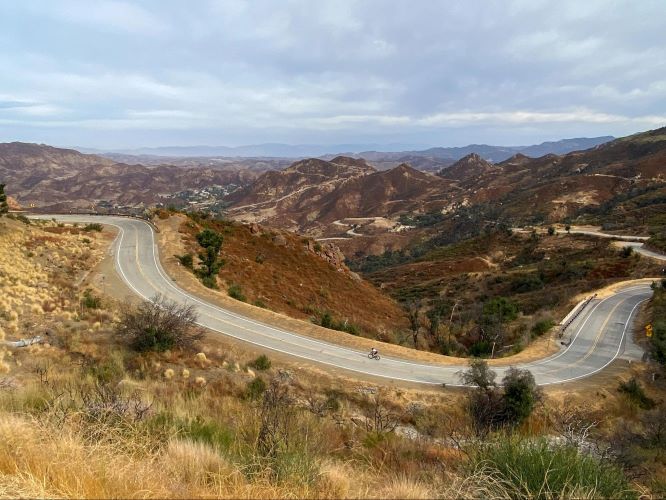
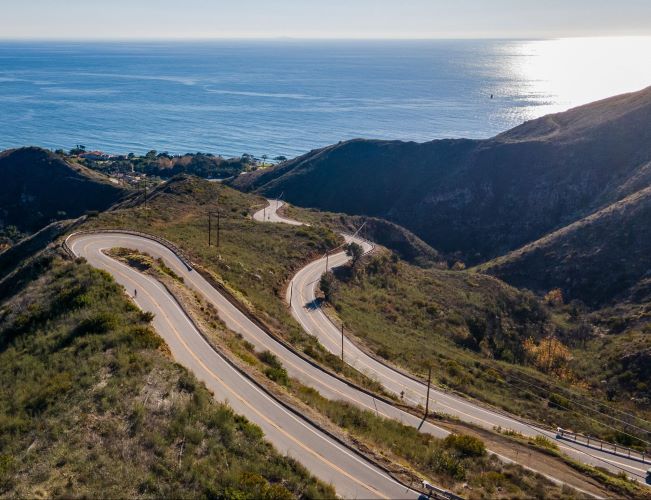
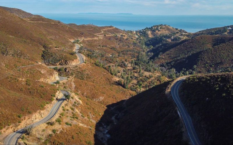
If you're looking for "switchback climbing" this is the place. In lieu of road-biking, you may call this "road-climbing" given consistent ascending/descending of canyons and roads. This may not agree with everybody, but I love it.
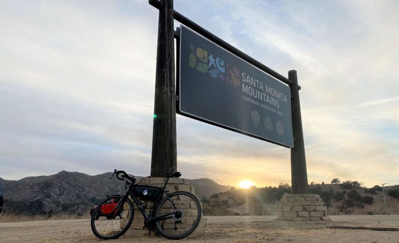
For geographic context, the SMM National Recreation Area (NRA) is the largest urban national park in the U.S. and World, for that matter. The land mass is 246 square miles and contains 157,000 acres, which is chock full of biking and hiking options with far less population-density than you would guess.
Staging is vitally important for access to the best routes. I staged on Mulholland Highway in Agoura Hills, which is perfect. Alternatively, you could stage in Malibu, but the less time on PCH the better.
SMMNRA delivers on long and majestic climbs, as well as short and punchy varieties. The supply (i.e. route inventory) is extensive. Traffic is less a problem than you might think; easy to avoid city centers, major thoroughfares, and PCH.
HIGHLIGHTS
Two groups of climbs: PCH and non-PCH. From PCH east to west, access "showcase" climbs of Deer Creek, Yerba Buena, Mulholland, Decker Canyon, Encinal Canyon, Latigo Canyon, Corral Canyon, Rambla Pacifico, Las Flores Canyon, and Tuna Canyon. Some weave into each other. Additionally, Trancas and Big Rock are shorter and steeper out and backs.
Non-PCH "must-do" climbs include Stunt, Piuma, Little Sycamore, Rock Store, and Westlake. Fernwood Pacific Drive-Tuna Canyon Road-Saddle Peak Road and Old Topanga Canyon Road both directions are in the Topanga area, which is often narrow and congested with traffic.
Mulholland Highway is a gorgeous roadway. Traverse east to Calabasas and west to PCH. Between Agoura Hills and Calabasas or vice versa expect undulation, not steep but steady. Dry Canyon Cold Creek Road (7-Minute Hill) is a 2-mile detour when heading east. Weekends are busier as car clubs cruise and motorcycle clubs hang at Rock Store. You also see tons of hikers at myriad trailheads.
When building routes, take an object-oriented approach - pick and combine from climbs listed above. For example, connect Deer to Yerba to Little Sycamore to Mulholland. There are also great connector roads between climbs, such as Hume between Las Flores and Rambla, Schueren between Piuma and Stunt, and Cold Canyon between Piuma and Mulholland Highway.
For navigation, proximity can be advantageous. For example, Encinal is great descent for Decker and/or Trancas climbs; Mulholland is great for Decker or Yerba and Deer Creek; Yerba is great descent for Deer Creek climb; Latigo is great descent for Corral Canyon climb.
Caution: Speed-demons driving motorcycles and cars will manifest. Malibu Canyon, Topanga Canyon Boulevard, and Kanan Dume thoroughfares should be avoided, given traffic congestion and higher speed limits. However, I ascended the top half of Topanga Canyon on a Saturday and it was okay. Reconnoitre and descend only as fast as you can afford; expect unique gradients, hairpin switchbacks and cambers.
Oddities: Winter of '23 has been wettest in history, thus massive mudslides and related damages. I'm not used to cleaning my bike every day, but streams flow across roads in places. Tuna Canyon is closed due to damages; 3/4 of the climb is one-way road coming down. Start of Rambla Pacifico is blocked by private gates, but I did get through. Since fire in 2018, Mulholland Rock Store climb is closed to cars and motorcycles, but wide open to bikes.
If you seek group riding, consider the "Serious Cycling" ride from Agoura Hills on Saturday, which offers Medium (slower and with regroups) or Long routes - see Strava Club. or the highly competitive "Wednesday Worlds" from Pedalers Fork in Calabasas - see Facebook Page. There are others, such as cvcbike.org out of Westlake Village. Good or bad, group rides help compile location intelligence.
Outside the Santa Monica Mountains: Try Mount Wilson climb, but consider weather and be past Angeles Forest Highway intersection before 2pm. In Pasadena, try the "Montrose" group ride.
Non-road-bike options: There are tons of MTB options. While gravel-biking is not as prevalent, rather limited to Point Mugu, Encinal-Yerba, and Puerco Canyon. From what I gathered, one could definitely extend climbs on a gravel bike, including Corral Canyon and Big Rock, for example. Hiking options are seemingly everywhere.
If you're concerned with hydration, top off your bottles at the fire station off Decker, Circle X Ranch Ranger Station off Yerba, just down from top of Stunt, plus restaurants and gas stations on PCH, for example.
My road-biking winter sojourns have included Santa Barbara County, San Luis Obispo County, and Pima County (Tucson.) Overall, the Santa Monica Mountains are hard to beat, because I prioritize climbs and aesthetics.

