INTRO
PLAN YOUR ROUTE
 We've partnered with Sherpa-Map.com to bring you the best route planning tool. With a PRO Membership you can use this climb as a reference when creating your route.
 ROUTE MAP


 We've partnered with Sherpa-Map.com to bring you the best route planning tool. With a PRO Membership you can use this climb as a reference when creating your route.
Climb begins at Jenkinson Lake
This is a very long climb in the Eldorado National Forest (in the vicinity of Carson Pass, Kirkwood Ski Resort and Lake Tahoe). Although modestly ranked on the FIETS index, this is the 8th longest climb in California.
The climb is moderately difficult with many rollers along the way. The steepest our Garmin ever read was 12% and the steepest ½ mile is only 8.3%.
North-South Road is at the start of the steepest ½ mile (8.3%).
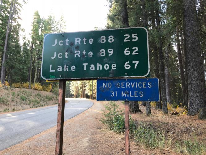
Most of the climb is bordered by forest.
There are a few (but just a few) openings with exceptional distant views.
The road is not too busy, but the traffic you do encounter is often as not of the Big Rig variety.
Encountered several logging trucks on our climb.
Good road with 2’ bike lane the entire route.
’
Climb ends at Mormon Emigrants Pass (faded road to right of Hwy 88 above).
TOUR OF CALIFORNIA - MORMON EMIGRANTS PASS
Stage 6 ToC
Mormon Emigrants Pass
Photo: MountainDemocrat.com
Mormon Emigrants Pass has been included 2 times in the Tour of California between 2006 and 2019.
Course Preview:
After starting the 2019 Amgen Tour of California in a familiar locale, Stage 2 begins in the new host city of Rancho Cordova, fifteen miles upstream along the American River. Rancho Cordova may be a new partner for the race, but the peloton’s journey to the slopes of South Lake Tahoe’s Heavenly Ski Resort is well-known and feared by local cyclists and the peloton. From the start, the route gradually prods uphill. Over the next 122-miles, the peloton will climb over 14,500 feet and three KOMs - even finishing uphill to the mountain’s ski lifts. The race’s Queen Stage comes later in the week, so the overall contenders can go for the General Classification lead here but they would be well-advised to save their legs. AmgenTourofCalifornia.com