Brice Creek (Champion Bridge) Bike Climb - PJAMM Cycling

14.9
PDI
11.4 mi
DISTANCE
2,980 ft
GAINED
4.9 %
AVG. GRADE

FULL CLIMB STATS

Page Contributor(s): Don Baty

INTRO

This 11.4 mile bike climb is located in OR, USA. The average gradient is 4.9% and there is a total elevation gain of 2,980 ft, finishing at 4,811 ft.

Use the profile tool, route map, and weather forecast to conquer this cycling climb.

See more details and tools regarding this climb's grade via our interactive Profile Tool.
Information Not Available

If you have any information regarding this climb, we'd like to hear from you. Click the CONTRIBUTE button to share your thoughts with us.

Information Not Available

If you have any information regarding this climb, we'd like to hear from you. Click the CONTRIBUTE button to share your thoughts with us.

Before heading out on any cycling adventure check out our Things to Bring on a Cycling Trip and use our interactive check list to ensure you don't forget anything.
Information Not Available

If you have any information regarding this climb, we'd like to hear from you. Click the CONTRIBUTE button to share your thoughts with us.

ROUTE MAP

MEMBER RATING

Not Yet Rated
-
Road
-
Traffic
-
Scenery

CURRENT WEATHER

PJAMM TRIPS ADVENTURE STARTER BUNDLES

Check out PJAMM Adventure's prepackaged (self-guided) cycling trips. They will help you plan, document and conquer your next adventure.
ALL TRIPS
Browse all of our prepackaged trips and find your next adventure!
Crater Lake
United States (OR)
10 ROUTES
29 POIs
ROUTE STATS (TOTAL)
258.3
mi
DISTANCE
29,750
ft
ELEV. GAIN

NEARBY CLIMBS (0) RADIAL PROXIMITY

FROM
No Climbs Found

MEMBER REVIEWS & COMMENTS

Let us know what you thought of this climb. Signup for our FREE membership to write a review or post a comment.
Already have an account?
ROUTE MAP
PROFILE TOOL
Route Data
S.G. (%)
hide
Segment Data
hide

Climb Profile Not Found
CLIMB SUMMARY

Brice Creek Climb Summary

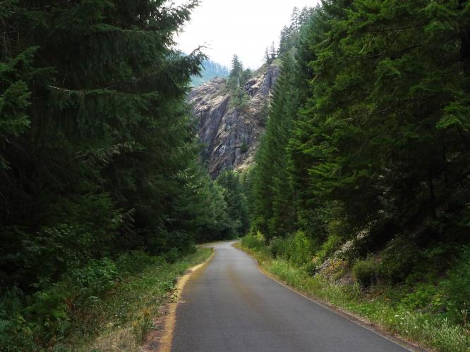
Photo - Don Baty

[Placeholder for Don Baty summary]  

It's a great ride.  If you do the over and back to Oakridge, coming back over Larison Creek BTW, you have that misspelled on the site as Lairson) , it's 9700 feet of climbing.  

The Roads are all open in Owens Valley.  Horseshoe Meadows was fine, but has expansion cracks that make for a bumpy descent. Whitney Portal was the beast overall ride with near perfect road condition, and epic scenery.

As far as riding later this year...not sure.  Maybe heading to Banff. Or back down to California and the Sequoia area.