24
PDI
12.8 mi
DISTANCE
4,018 ft
GAINED
6 %
AVG. GRADE
FULL CLIMB STATS
Page Contributor(s): Erwan Treguier, Brittany, France
INTRO
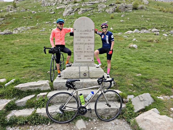
Col de la Cayolle links the Alpes-Maritimes and the Alpes-de-Haute-Provence at 2326 m (7,631 ft), and this southern approach from Saint-Martin-d'Entraunes follows the Var almost to its source. The climb runs 20.5 km (12.8 mi) and gains 1225 m (4,018 ft) at a 6.0% average on the D2202, part of the Route des Grandes Alpes, and it's the tougher of the pass's two sides - the road up from Barcelonnette is longer but gentler.
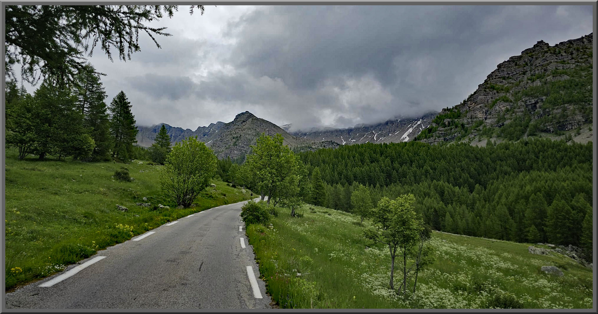
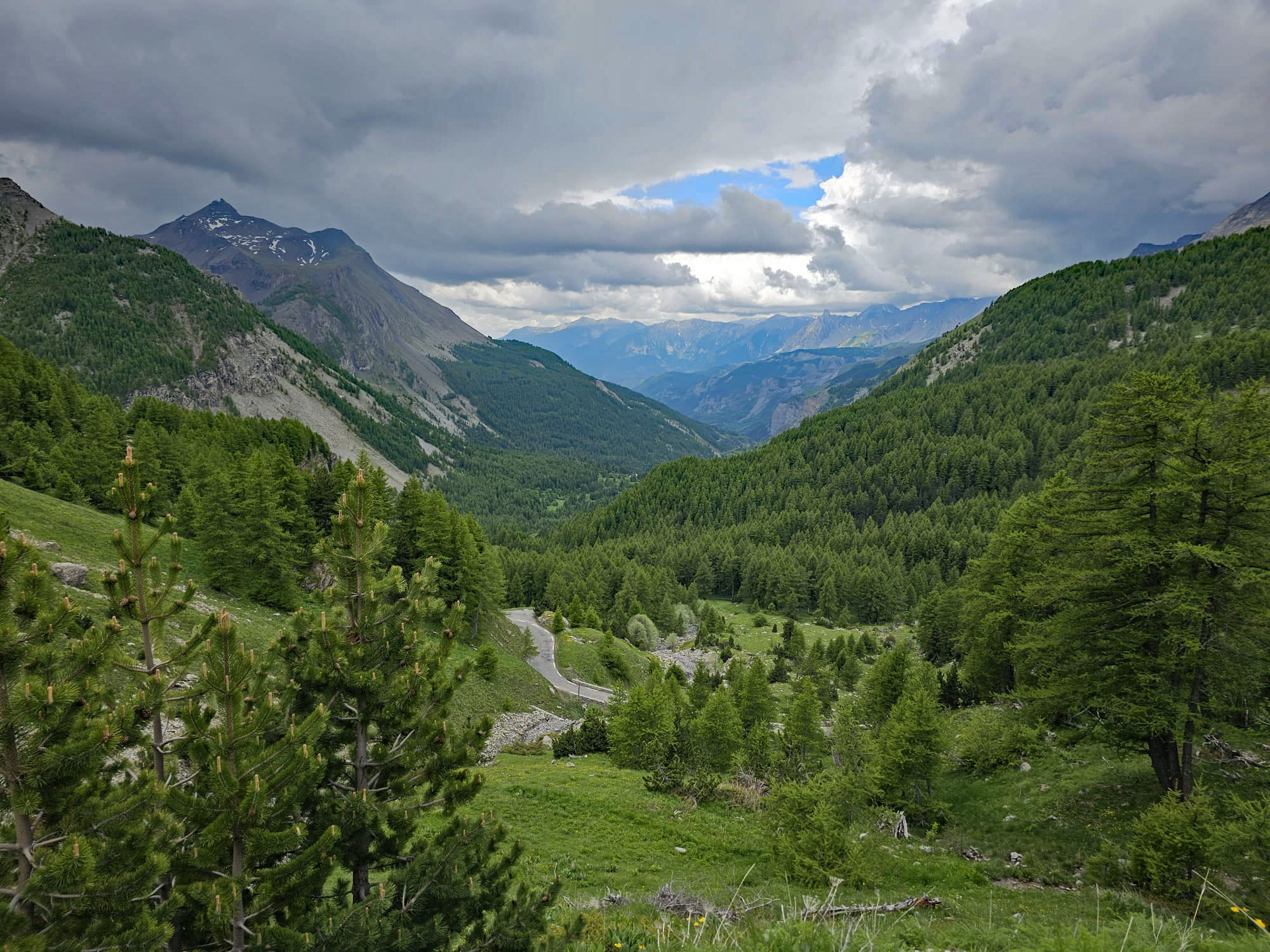
It builds slowly. The first 5-6 km to Entraunes are an easy warm-up, including the lit 230 m (755 ft) Bramus tunnel where the valley pinches shut. Past Entraunes the road crosses the Var and the real climbing begins, rising through the hamlet of Estenc and past its small lake before a string of hairpins carries you through bare, rocky terrain on the edge of the Mercantour National Park, where marmots are a common sight near the top.
The road over the pass was approved in 1894, and the Entraunes-to-Cayolle section was finished in 1914. The Tour de France has crossed it three times (1950, 1955 and 1973), and on the classic Trois Cols loop from Barcelonnette this side is the first big descent when ridden clockwise - see our Cayolle-Allos-Champs page. The pass is snowbound for much of the year, so check current conditions with our Weather tool before you go.
PLAN YOUR ROUTE
 We've partnered with Sherpa-Map.com to bring you the best route planning tool. With a PRO Membership you can use this climb as a reference when creating your route.
 The climb covers 20.5 km (12.8 mi) and gains 1225 m (4,018 ft) at an average of 6.0%.
The first 5-6 km to Entraunes average only about 4% - a genuine warm-up. After Entraunes the road climbs roughly 4 km at around 8% via the Pont de Garibaldi, eases for about 1 km, then holds 7-8% nearly all the way from the chapel hamlet of Saint-Sauveur through Estenc to the col.
The steepest kilometer averages 7.8%, the steepest 5 km 7.3%, and the steepest 10 km 7.1% - steady rather than savage, but long and high. Markers along the road count off each kilometer.
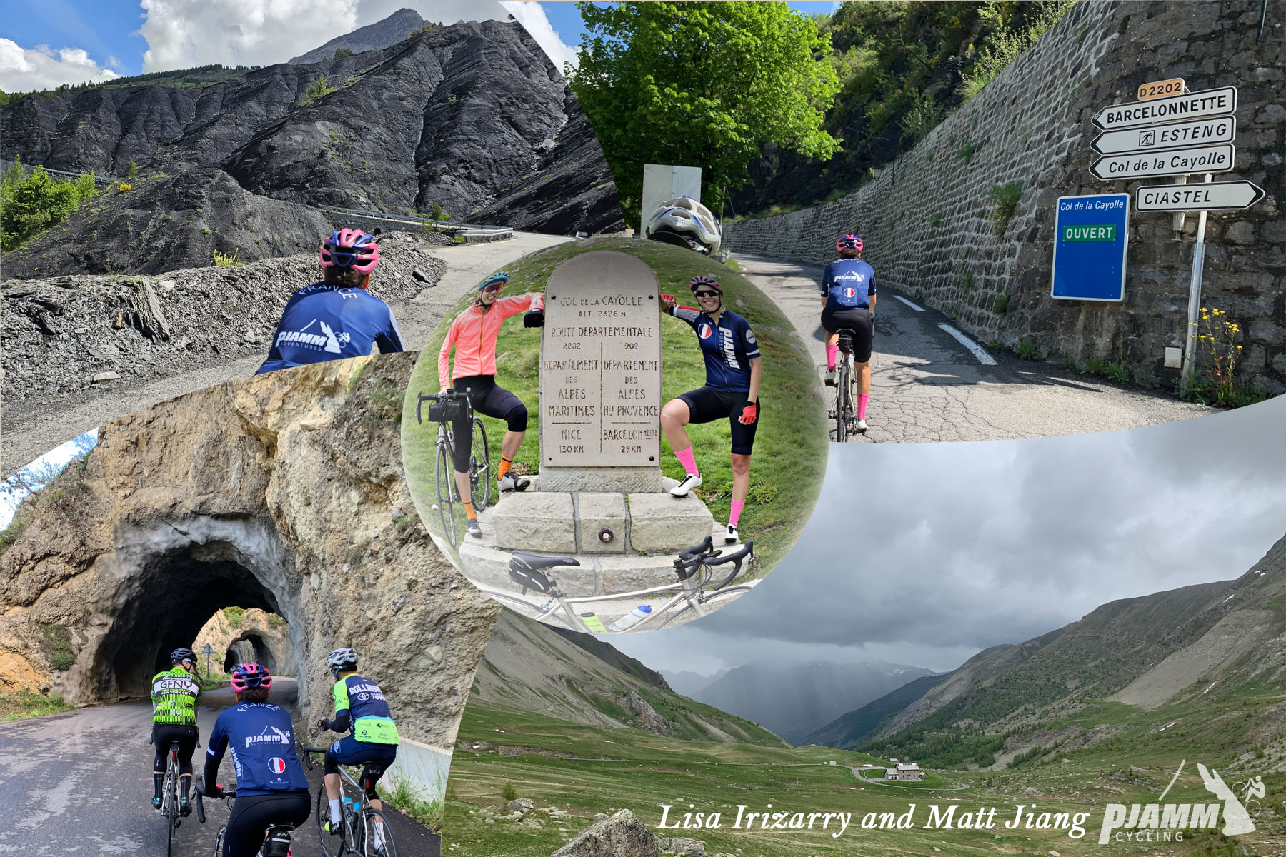
Roadway: Paved all the way, but narrow, only fair in places, and narrower still the higher you go. There are two tunnels: the 230 m (755 ft) Bramus tunnel low on the climb is lit, but a short, angled tunnel cut into the rock roughly 4 km from the top is quite dark, so carry front and rear lights. The pass is closed by snow in winter and usually reopens in late spring or early summer; check the Alpes-Maritimes department's Inforoutes06 service for the current status before you go.
Traffic: Light. The Cayolle is one of the quietest passes on the Route des Grandes Alpes, since most through traffic chooses the Bonette or the Col d'Allos instead - expect a trickle of cars and summer motorcycles rather than a steady stream.
Parking: Saint-Martin-d'Entraunes is a tiny village with no dedicated lot, so look for roadside space in the village and park considerately. It's also the start of the Col des Champs, so one parking spot covers two climbs. Entraunes, 5-6 km up the road, is an alternative start if you'd rather skip the gentle opening kilometers.
Provisions: Services are thin, so fill bottles in Saint-Martin-d'Entraunes before you start. The Auberge Roche Grande in Entraunes has a restaurant and bar, and the Relais de la Cayolle hotel-restaurant at Estenc, about 7 km below the col, is the last real stop on this side. Just over the top on the Barcelonnette side, the Refuge de la Cayolle serves meals in season.
Gear: Lights for the tunnels, a wind layer and arm warmers for a 2326 m summit and a long descent, and sunscreen - the trees thin out above Entraunes and the upper road is fully exposed.
Before heading out on any cycling adventure check out our Things to Bring on a Cycling Trip and use our interactive check list to ensure you don't forget anything.
Saint-Martin-d'Entraunes is worth a look before you roll out: its 13th-century Provençal Romanesque church holds a painted altarpiece by François Bréa from around 1550, and the wood-clad houses with deep overhanging roofs are classic upper-Var mountain architecture. Higher up, Estenc sits near the source of the Var and makes a good mid-climb pause by its lake, and the Relais de la Cayolle there is a quiet overnight option at the gateway to the Mercantour.
Saint-Martin is also the start of our Col des Champs climb, so a two-pass day is easy without moving the car. Ride this side up, descend to Barcelonnette, and you're on the Trois Cols loop over the Col d'Allos and the Col des Champs back to Saint-Martin. For the other side of the pass, see Col de la Cayolle from Barcelonnette.
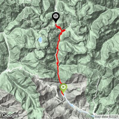
ROUTE MAP
MEMBER RATING
CURRENT WEATHER
PJAMM TRIPS ADVENTURE STARTER BUNDLES
Check out PJAMM Adventure's prepackaged (self-guided) cycling trips. They will help you plan, document and conquer your next adventure.
NEARBY CLIMBS (0) RADIAL PROXIMITY
FROM No Climbs Found
MEMBER REVIEWS & COMMENTS
Let us know what you thought of this climb. Signup for our FREE membership to write a review or post a comment.
Already have an account?
LOG IN HERE