16.1
PDI
7.1 mi
DISTANCE
2,504 ft
GAINED
6.7 %
AVG. GRADE
FULL CLIMB STATS
INTRO
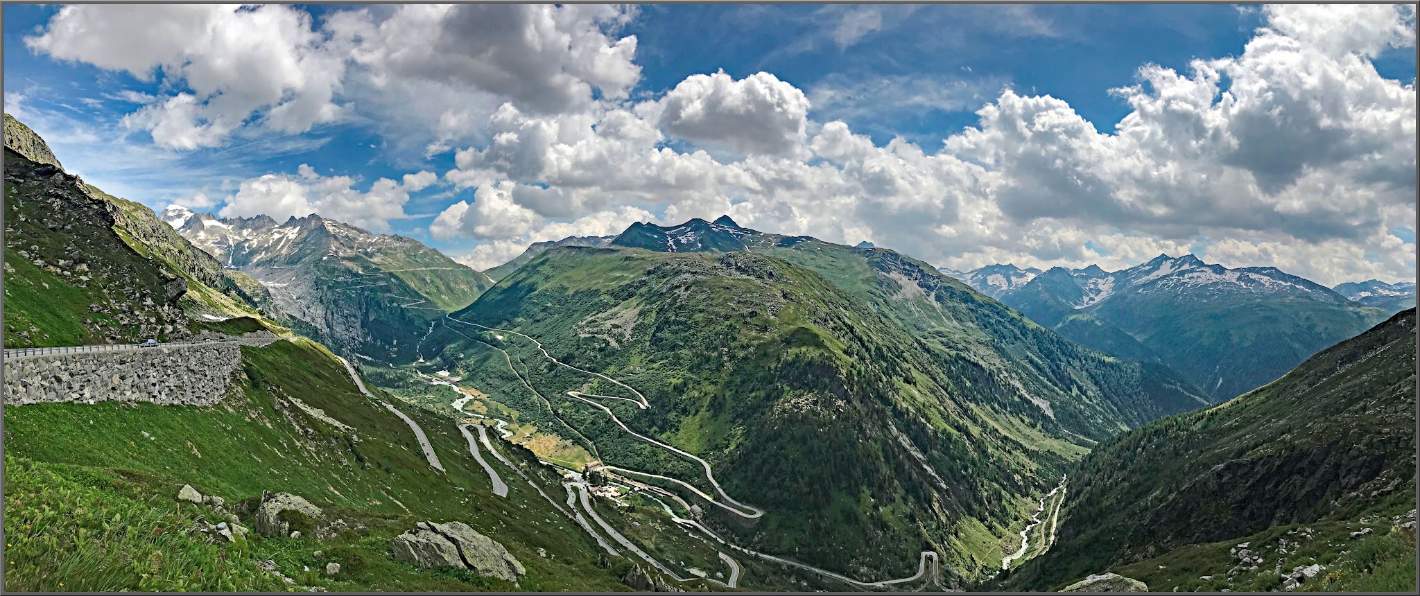
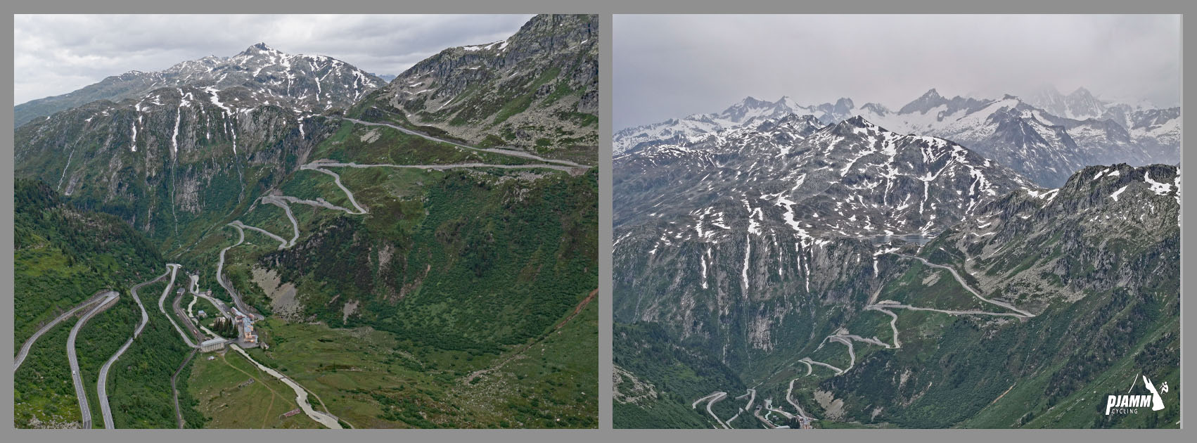
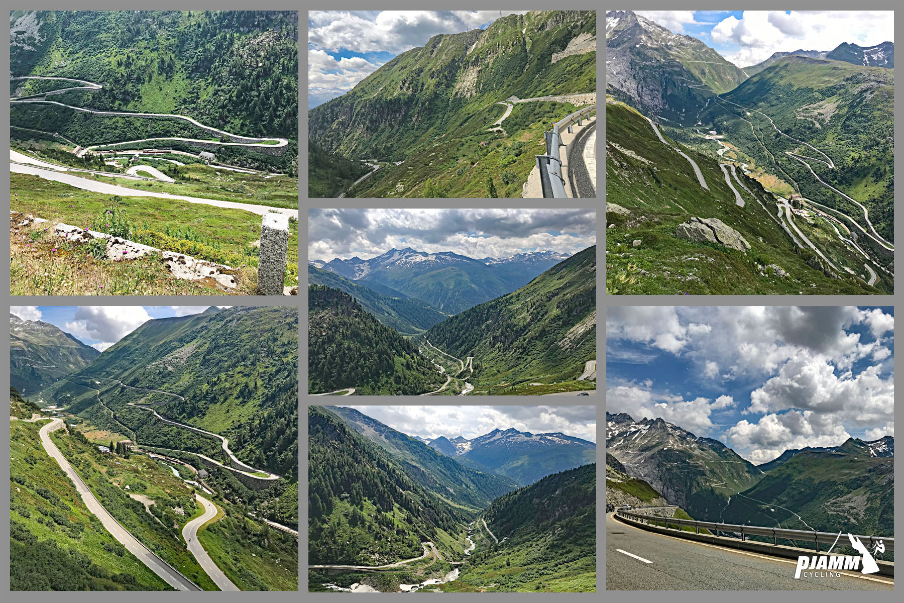
From the upper bends of this road you look straight across the valley at the Furka, its hairpins climbing toward the Rhône Glacier, and that view is half the reason to come up this side. The other half is the staircase itself: above Gletsch the road stacks seven hairpins into 3.9 km at 7.6%, on an open, treeless slope where you can see every bend you still have to ride.
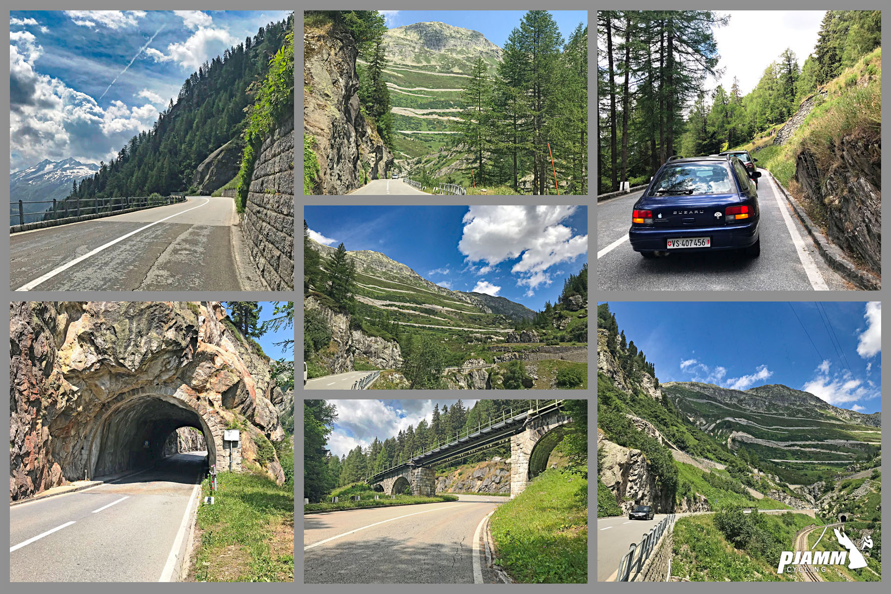
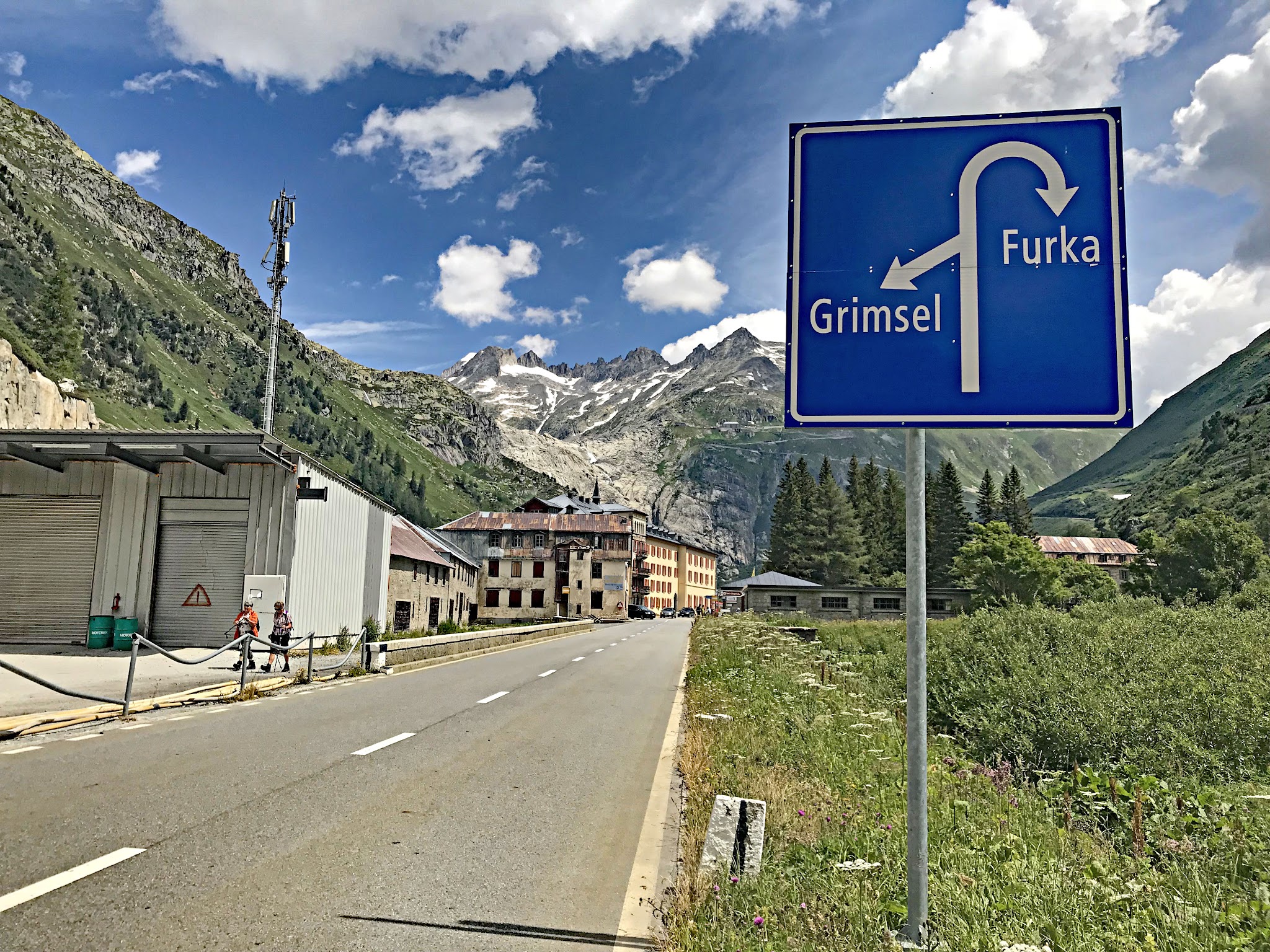
Our route runs 11.4 km (7.1 mi) from Oberwald, gaining 763 m (2504 ft) at 6.7%. The first 6 km follow the Furka road up out of the Goms, through forest and a narrow stretch of the Rhône valley, with the Furka steam railway's line running just below you. At Gletsch, a hamlet that is little more than a railway station, an old hotel and a road junction, the Furka goes right and you go left. Nothing is very steep - the hardest kilometer averages about 8% - but after Gletsch the gradient hardly changes, and the last stretch is above 2000 m.
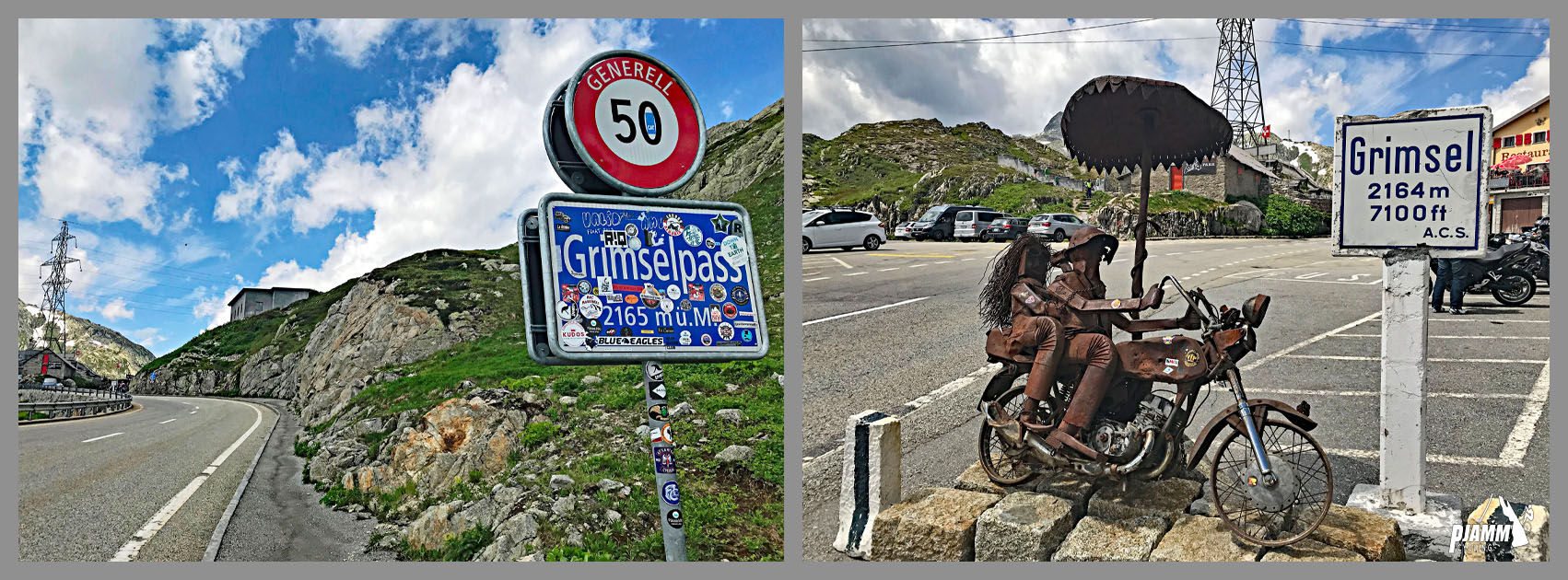
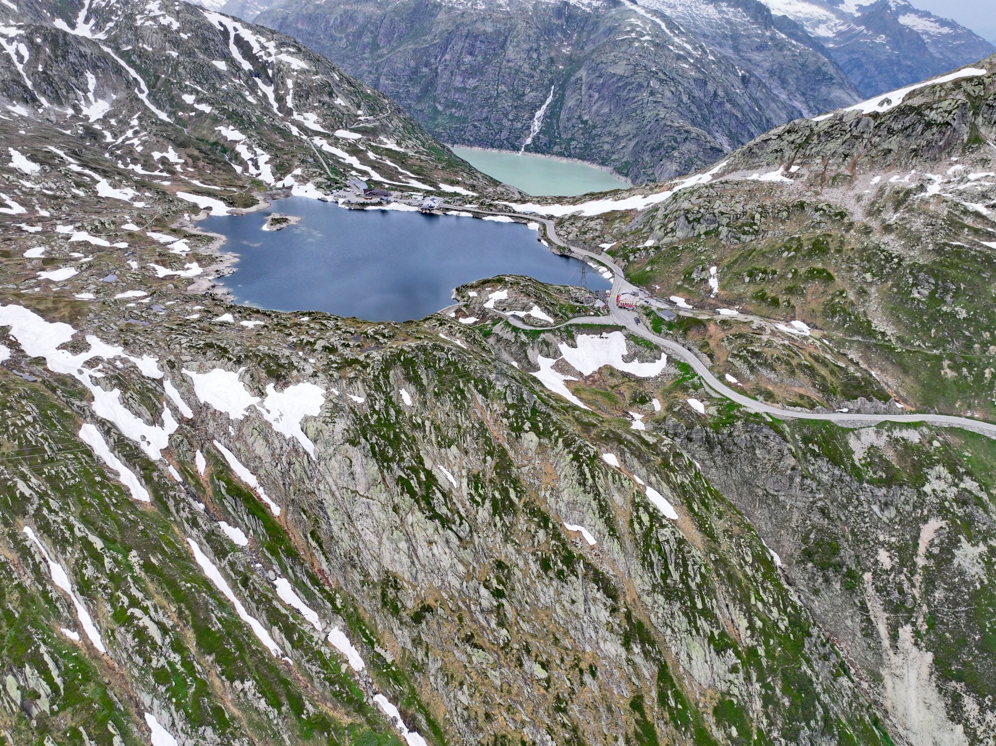
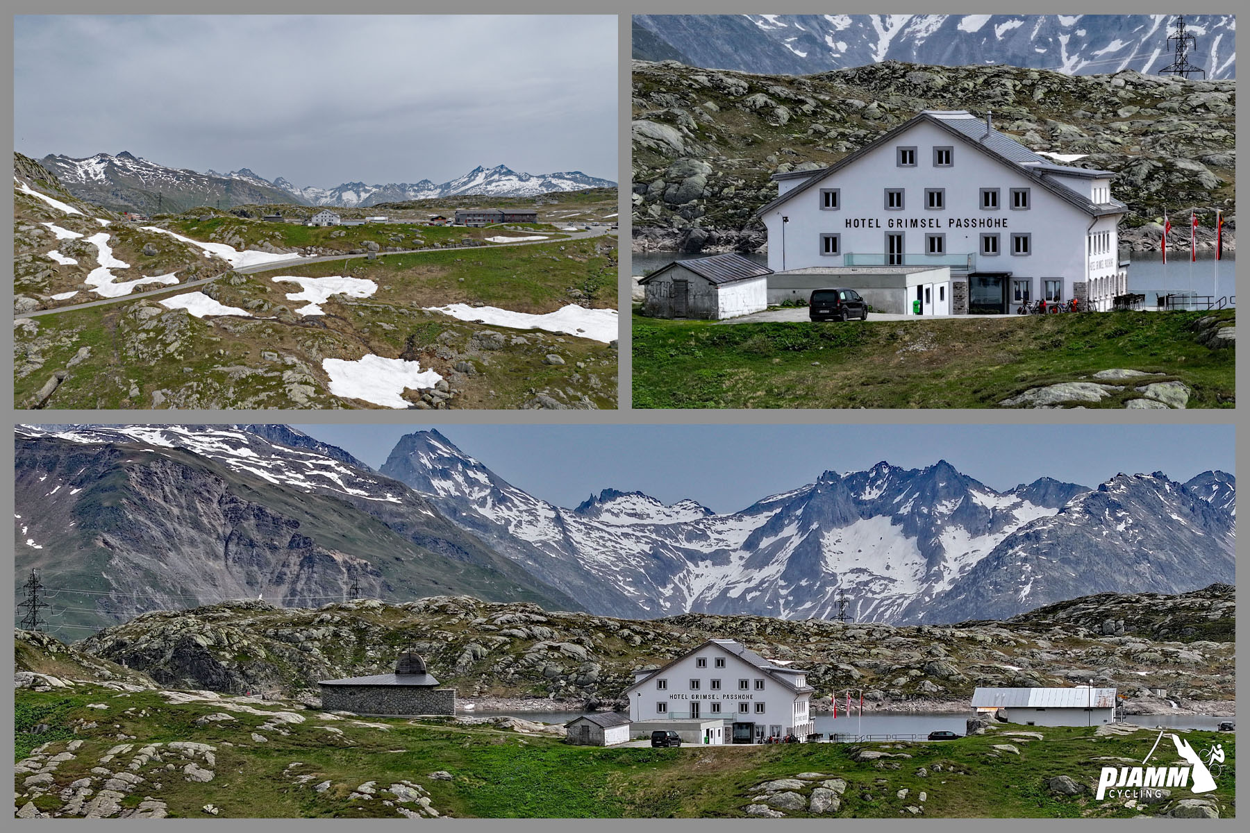
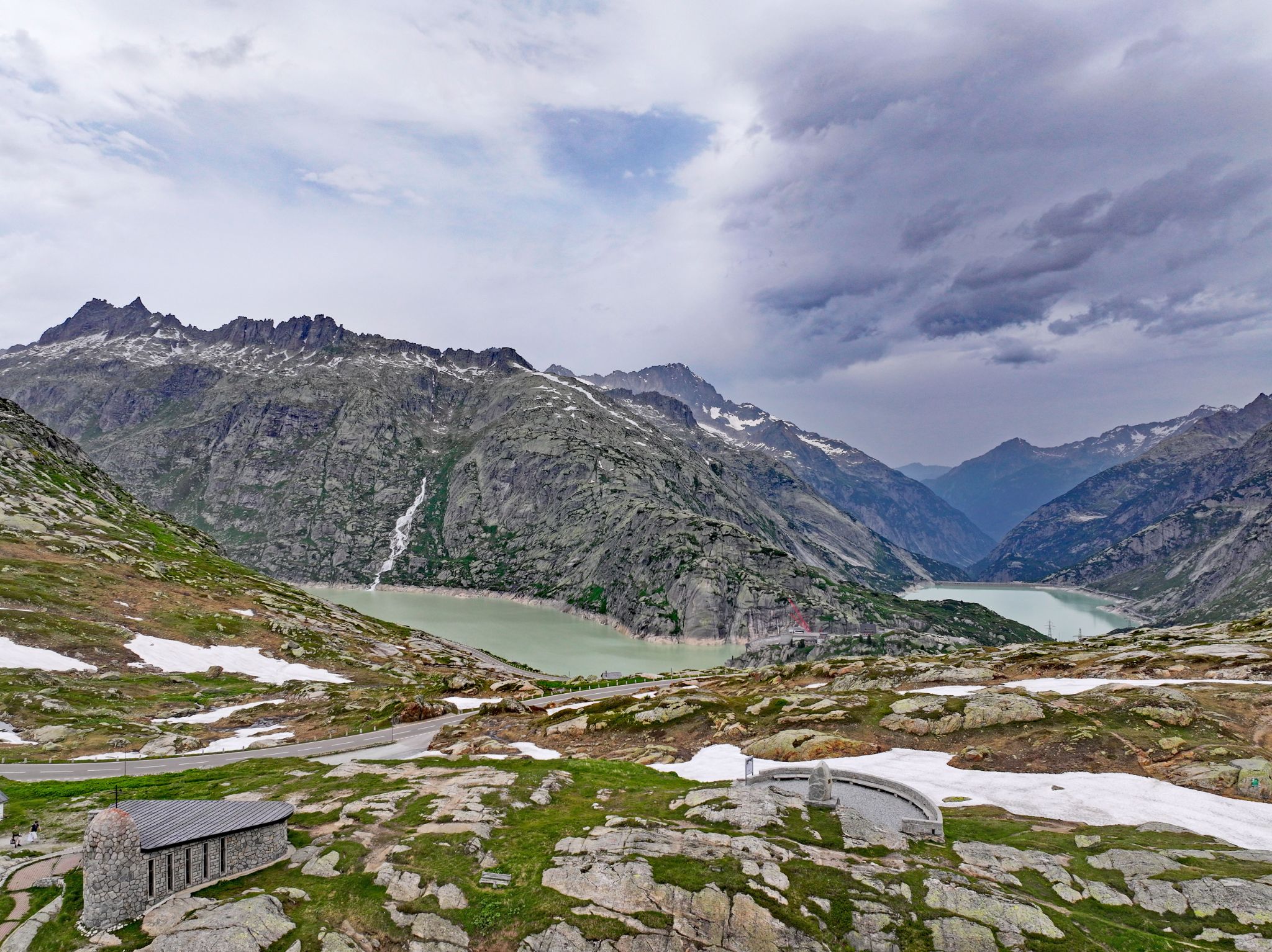
The top is a wide, rocky saddle at 2164 m (7100 ft) with the small Totensee beside the road, two hotels, a marmot enclosure and a big car park, and the turquoise Grimselsee reservoir just over the brow on the Bern side. On a fine summer afternoon it's a busy, noisy place full of motorcycles and coaches. When the cloud comes down it goes quiet and gray, and you'll want to be on your way down.
It's a short climb by Alpine standards, which is why most riders pair it with its neighbors: the Furka and the Nufenen start from the same few kilometers of valley, and the long descent to Innertkirchen leads on to the Susten.
PLAN YOUR ROUTE
 We've partnered with Sherpa-Map.com to bring you the best route planning tool. With a PRO Membership you can use this climb as a reference when creating your route.
Oberwald to Gletsch (km 0-6.2): A steady 5.5-6.5% on the main Furka road, with one easier kilometer around km 3-4 (4.5%) and one firmer one at km 4-5 (7.7%). This part is mostly in the trees, following the young Rhône up a narrow section of the valley.
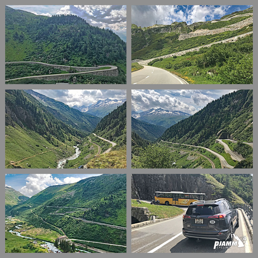
Gletsch to the pass (km 6.2-11.4): Turn left at Gletsch and the road settles straight into 7-8%. The seven hairpins cover 3.9 km at an average of 7.6%, and the steepest kilometer of the climb, about 8%, comes in the middle of them. The final kilometer eases very slightly as you reach the Totensee.
Climb stats: 11.4 km (7.1 mi), 763 m (2504 ft) of climbing, 6.7% average. The pass is at 2164 m (7100 ft).
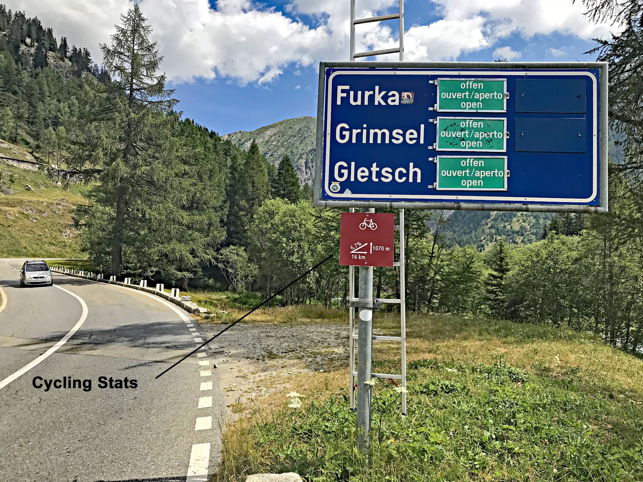
Roadway: Smooth, two-lane asphalt from Oberwald to the Totensee - this is a main Swiss pass road built for the PostBus and tour coaches, and the first 6 km are shared with the Furka. It's a summer-only road. The Grimsel closed for the 2026-27 winter on 6 November 2026 (the Furka on 28 October), and over the last five years it has reopened between 25 May and 14 June - 29 May in 2026. An early autumn snowfall can also shut it for a day or two before the winter closure. The Touring Club Schweiz (tcs.ch) and alpen-paesse.ch post the current status.
Traffic: Busy in July and August, especially with motorcycles. Below Gletsch you share the road with Furka traffic as well, and it's calmer above the junction, though the pass itself is crowded on fine afternoons. Early mornings are far quieter. Cloud often sits on the top, so run a rear light.
Parking: Oberwald is the natural start - our Furka Pass (Obergoms) page covers parking at the station there. There are pull-offs around Gletsch if you only want to ride the hairpins, and the large car park at the pass, beside the hotels, works for a pickup.
Gear: The gradient is steady and never steep, so a compact with a 28-tooth cog is plenty. Clothing matters more: you finish at 2164 m on an exposed saddle, and the descent through the hairpins is fast and cold even in August. Pack a windproof jacket and full-finger gloves.
Provisions: Fill up in Oberwald, which has a shop and restaurants. At the top, the Hotel Grimsel Passhöhe and the Hotel Restaurant Alpenrösli both serve food, and the Alpenrösli has a large sun terrace above the Totensee.
Before heading out on any cycling adventure check out our Things to Bring on a Cycling Trip and use our interactive check list to ensure you don't forget anything.
Stay in the Obergoms - Oberwald, Obergesteln or Ulrichen - and you can ride the Grimsel, Furka and Nufenen from the door on consecutive days, or link them in one long loop. Our Furka Pass (Obergoms) page covers Oberwald and the Rhône Glacier, and Oberaarsee South covers Obergesteln.
If you have time for one extra thing, ride the Furka steam railway (Dampfbahn Furka-Bergstrecke). Its restored trains run between Oberwald, Gletsch and Realp in summer, on the rack line you climb beside for the first 6 km. Over the top, the descent to Innertkirchen drops 26 km past the Grimselsee and Räterichsbodensee reservoirs and through a string of tunnels (see Grimselpass - Innertkirchen), and from there the Susten and the Furka make the classic three-pass loop back to Gletsch.
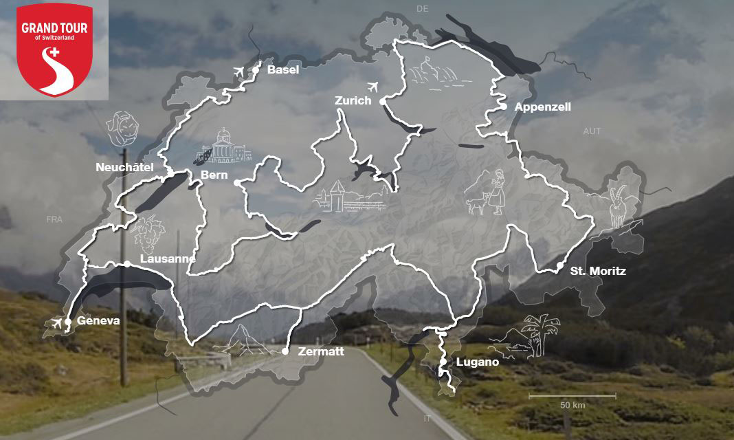
Without a car, PostBus crosses the Grimsel in summer between Meiringen and the Goms, and Oberwald's station links to Brig and Andermatt. The pass is also on the Grand Tour of Switzerland driving route, which explains the coaches. Our Weather tool shows conditions at the summit - worth a look, because the Totensee can be in cloud and wind while Oberwald sits in sunshine.
ROUTE MAP

MEMBER RATING
CURRENT WEATHER
PJAMM TRIPS ADVENTURE STARTER BUNDLES
Check out PJAMM Adventure's prepackaged (self-guided) cycling trips. They will help you plan, document and conquer your next adventure.
NEARBY CLIMBS (0) RADIAL PROXIMITY
FROM No Climbs Found
MEMBER REVIEWS & COMMENTS
Let us know what you thought of this climb. Signup for our FREE membership to write a review or post a comment.
Already have an account?
LOG IN HERE