26.9
PDI
12.7 mi
DISTANCE
4,223 ft
GAINED
6.2 %
AVG. GRADE
FULL CLIMB STATS
INTRO
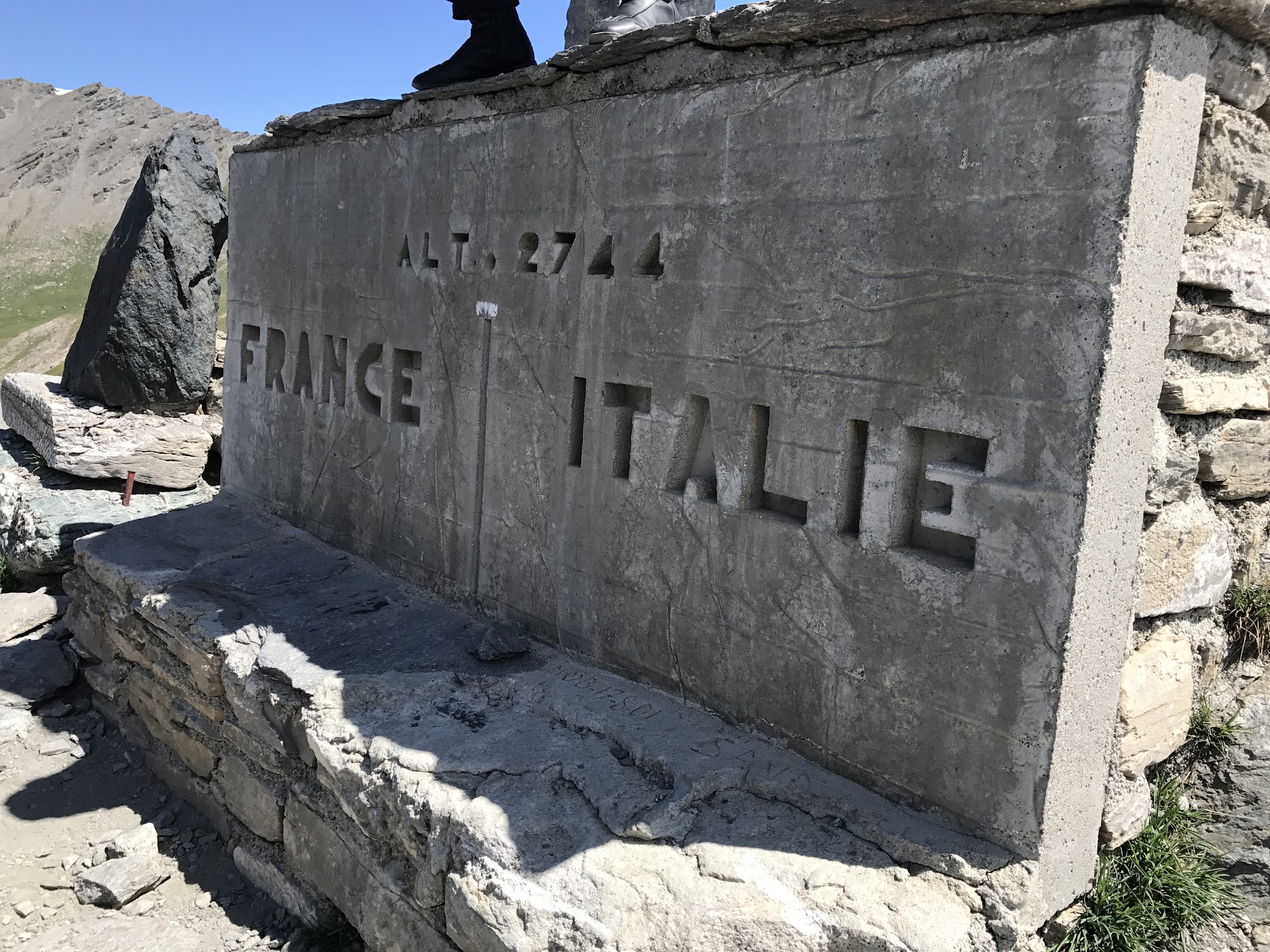
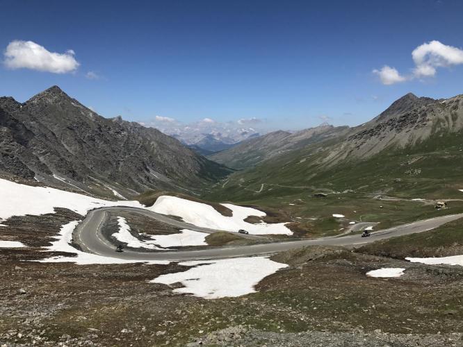
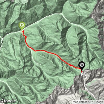
Col Agnel climbs 20.5 km (12.7 mi) out of Ville-Vieille in the Queyras valley of France's Hautes-Alpes, gaining 1,287 m (4,223 ft) at a 6.2% average grade to the France-Italy border. The pass crests at roughly 2,744 m (9,003 ft), the highest paved border crossing in the Alps and one of the highest paved passes in Europe - only Bonette, Iseran, and Stelvio go higher.
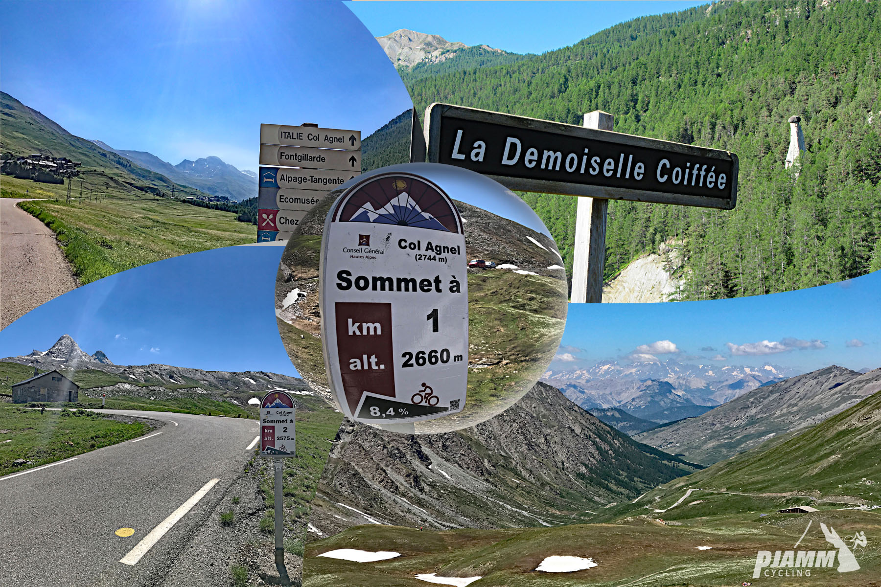
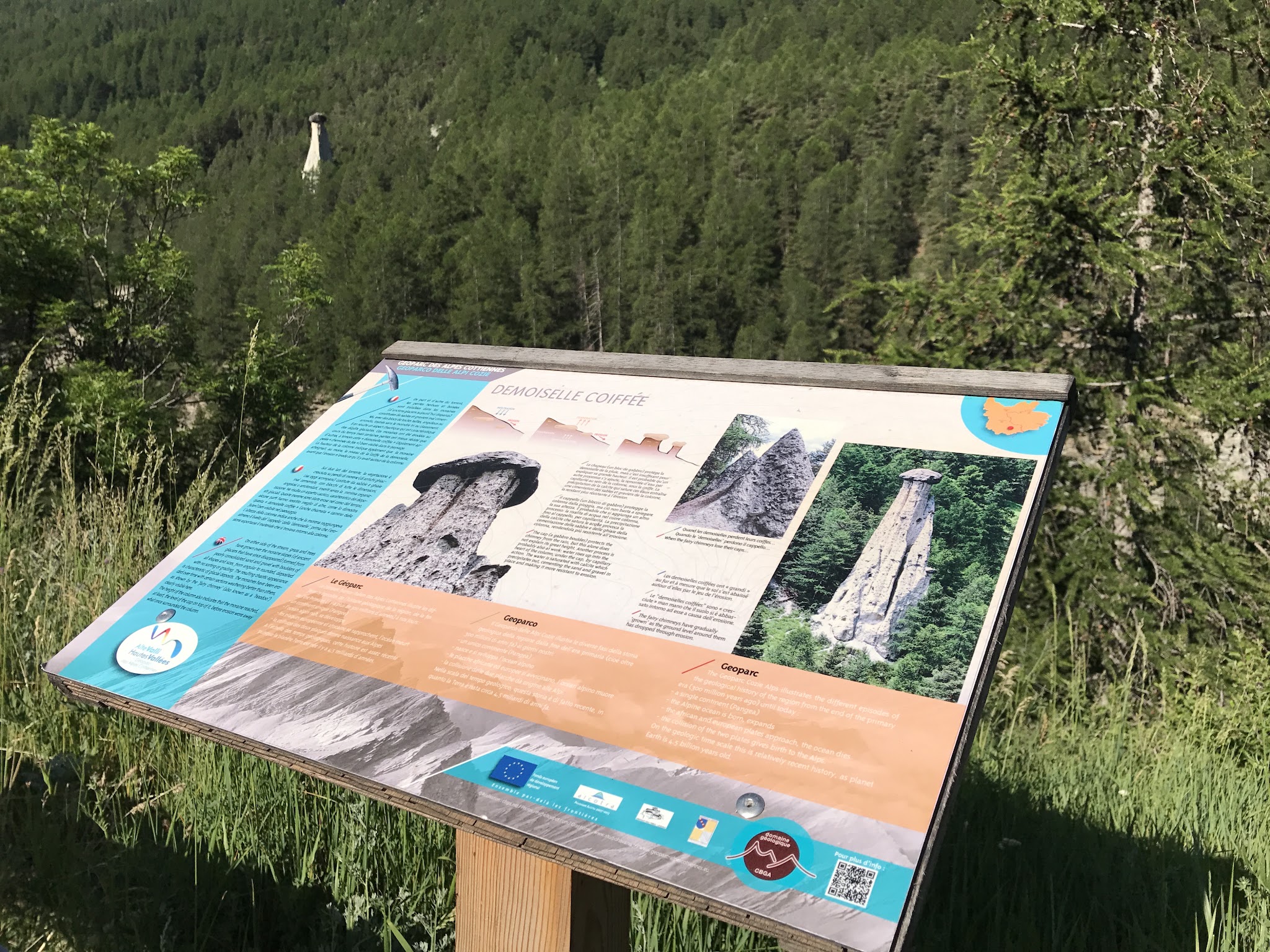
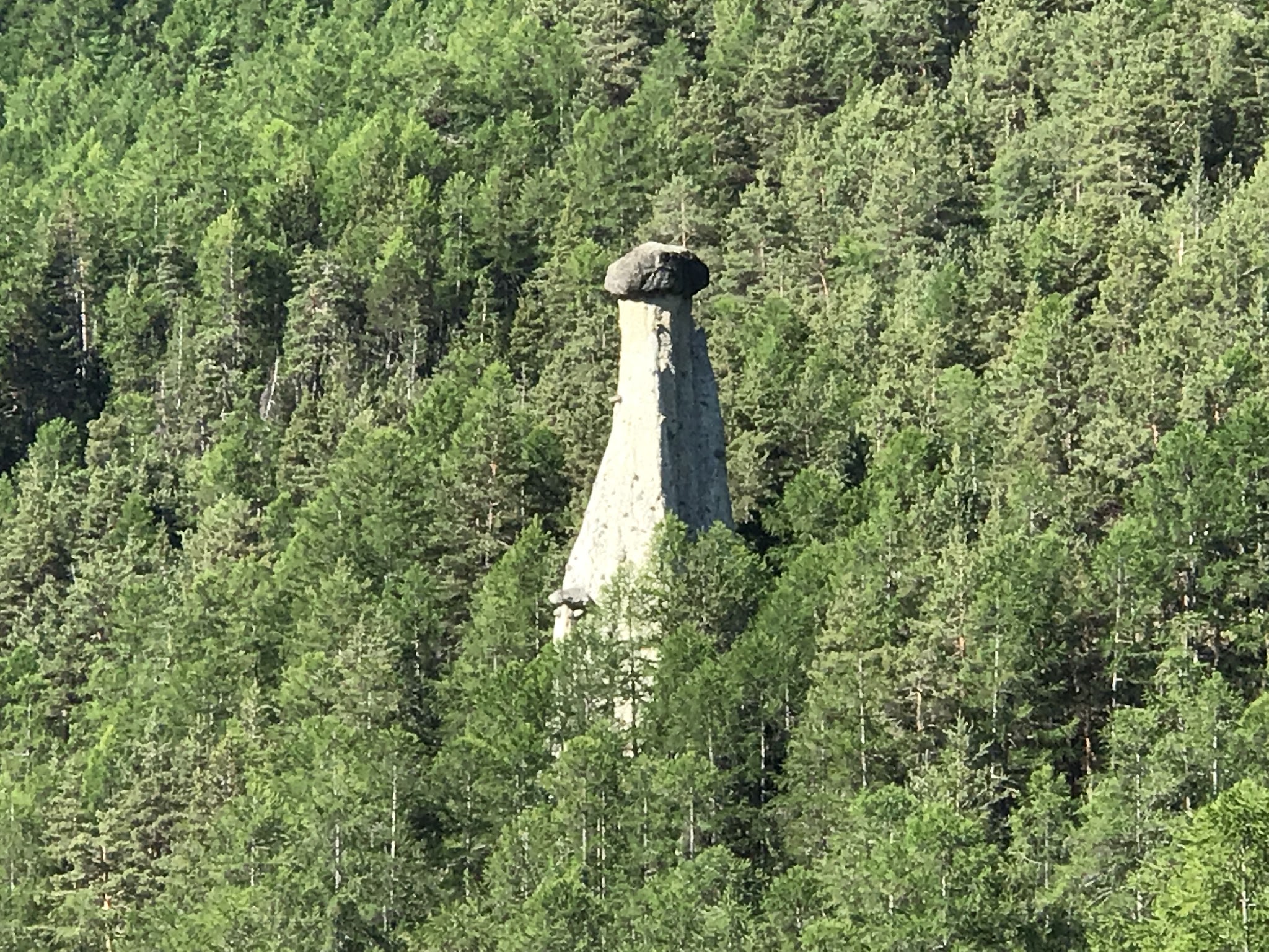
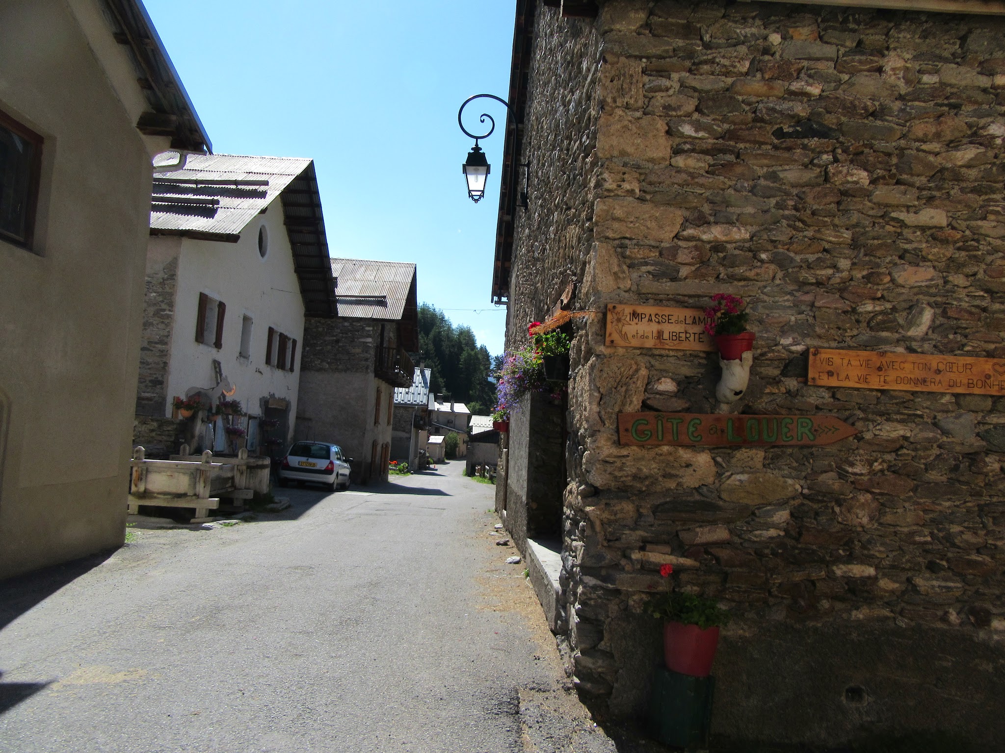
We've ridden Col Agnel ourselves, and while the grade never hits double figures - the steepest mile averages just 8.6% - it's one of the most scenic climbs around. A few kilometers up on the right, a cluster of "demoiselles coiffées" (glacial-till hoodoos capped with boulders, protected as a French Natural Monument) rises beside the road. The route then threads a few quiet stone hamlets, including Fontgillarde and its small church of St. Romanus, before opening onto high alpine meadow for the final push to the border.
The Tour de France has only used Agnel three times (2000, 2008, 2011 - added to the 2008 route late after Col de Larche was judged too dangerous), and the Giro d'Italia four times. A plaque on the French side marks it as one of the passes proposed for Hannibal's crossing of the Alps with elephants.
Saint-Véran, the highest permanently inhabited commune in Europe at 2,042 m, sits just below the start and is worth the short detour.
PLAN YOUR ROUTE
 We've partnered with Sherpa-Map.com to bring you the best route planning tool. With a PRO Membership you can use this climb as a reference when creating your route.
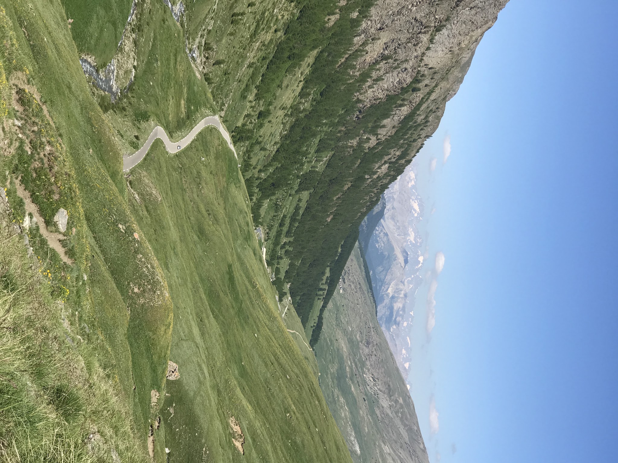
 Col Agnel gains 1,287 m (4,223 ft) over 20.5 km (12.7 mi) at a 6.2% average grade. The grade is remarkably consistent for a climb of this length and altitude - it never reaches double figures for a sustained stretch, with the steepest mile averaging 8.6% and the steepest kilometer 9.1%. That steepest section comes in the final few kilometers as the road leaves the last hamlets behind and climbs open, treeless terrain to the border.
Roadway: The road is paved the entire way and is in good condition, typical of a well-maintained French departmental mountain road. Col Agnel is a seasonal high pass - it typically closes for winter in late October and reopens by mid-June depending on snowmelt, so check the Hautes-Alpes department's pass status pages before an early- or late-season attempt. On select summer dates the Guillestrois-Queyras area also reserves several of its mountain passes, including Agnel, for cyclists.
Traffic: Traffic is light to moderate. The first several kilometers through Ville-Vieille and the small hamlets above it see local traffic, and the road carries a steady trickle of touring cyclists and motorcyclists in July and August since it's a scenic through-route into Italy. Above the last hamlets, traffic thins out considerably.
Parking: Ville-Vieille, in the Château-Ville-Vieille commune, is the natural start and has roadside parking near the village. Riders can also base themselves in nearby Molines-en-Queyras or make the short detour up to Saint-Véran, the highest village in Europe, before or after the ride.
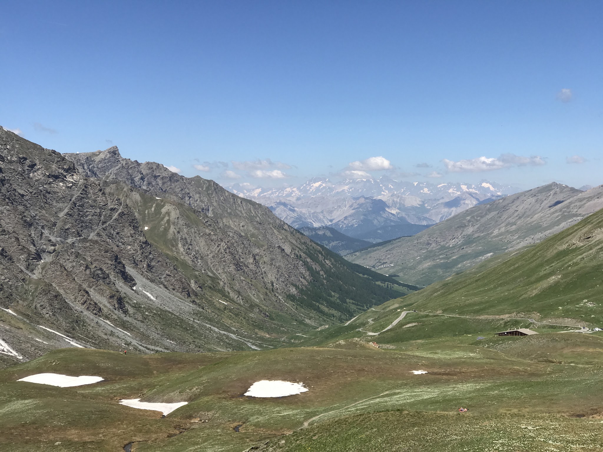
At nearly 2,744 m (9,003 ft), the summit is genuinely alpine - expect a real temperature drop and wind exposure over the final open kilometers even on a warm summer day, so pack a wind/rain shell regardless of conditions at the start. There's no services above the last hamlets until the Refuge Agnel, a mountain hut a couple of kilometers below the top that typically offers food and drinks in season - a good spot to refuel before the final push or the descent into Italy.
Before heading out on any cycling adventure check out our Things to Bring on a Cycling Trip and use our interactive check list to ensure you don't forget anything.
Ville-Vieille and Molines-en-Queyras, the small villages at the base, sit inside the Queyras Regional Natural Park - a quiet, less-touristed corner of the French Alps compared to its neighbors around Briançon. Saint-Véran, a few hundred meters up a side road from the start, is the highest permanently inhabited commune in Europe (2,042 m) and worth a wander for its traditional wood-and-stone Queyras architecture.
Because the pass tops out on the Italian border, it's a natural way to link a French and Italian ride - the descent into Italy leads to Chianale and the Varaita valley. The Queyras also has a cluster of shorter climbs out of the same valley worth combining into a multi-day trip; our Routes in the Area tool is a good way to see what else is nearby.
ROUTE MAP
MEMBER RATING
CURRENT WEATHER
PJAMM TRIPS ADVENTURE STARTER BUNDLES
Check out PJAMM Adventure's prepackaged (self-guided) cycling trips. They will help you plan, document and conquer your next adventure.
NEARBY CLIMBS (0) RADIAL PROXIMITY
FROM No Climbs Found
MEMBER REVIEWS & COMMENTS
Let us know what you thought of this climb. Signup for our FREE membership to write a review or post a comment.
Already have an account?
LOG IN HERE
carlinguernsey
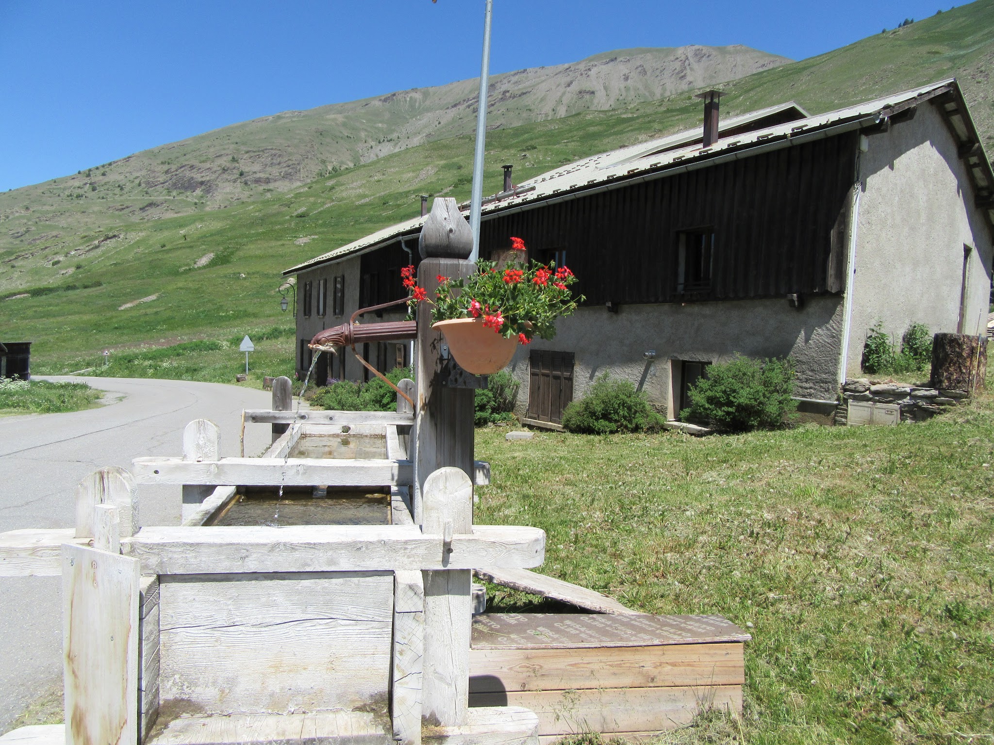
This climb is a difficult test buried deep in the French Alps. The gradient is very uneven so that there are some steep ramps mixed in with flat sections and even short descents. On a sunny day, the views from the top are exceptional. There is water available in some of the small villages along the route. It might have been the conditions on the day that I did the climb, but it was by far the most flies that I have seen on any climb.