45.8
PDI
13.2 mi
DISTANCE
5,888 ft
GAINED
8 %
AVG. GRADE
FULL CLIMB STATS
Page Contributor(s): Ard Oostra, Switzerland
INTRO
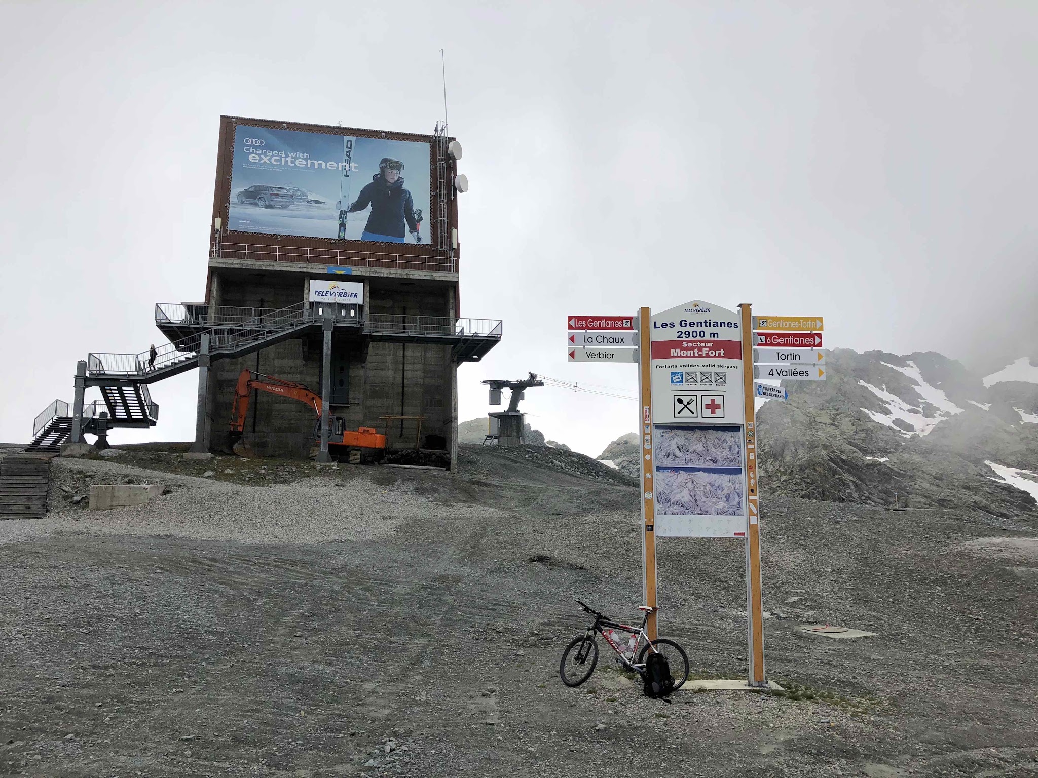
Col des Gentianes climbs 21 km (13.2 mi) out of Verbier in Switzerland's Val de Bagnes, gaining nearly 5,900 ft at a 7.95% average grade to finish at the Col des Gentianes cable-car station, 2,900 m (9,515 ft) up - one of the highest points reachable by bike anywhere in Europe, behind only Pico de Veleta in Spain.
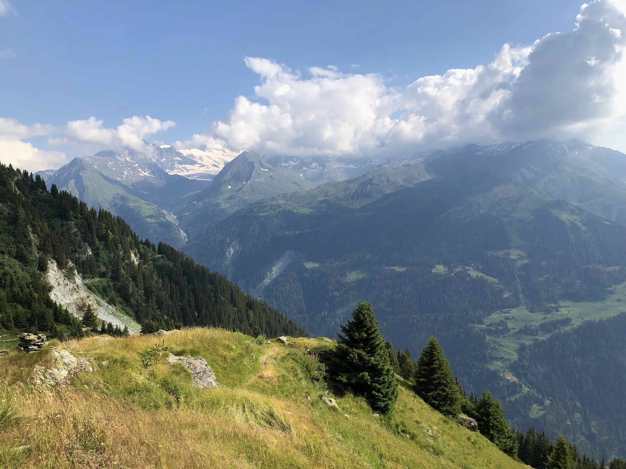
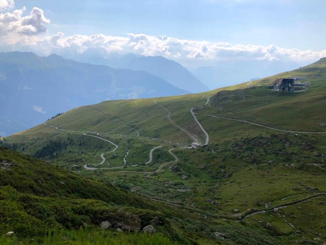
We first climbed this one on the recommendation of our friend Ard Oostra, who flagged it as a genuine World Top 100 climb. The lower two-thirds are paved and steady; above about 1,700 m the road turns to coarse, service-road gravel built for the ski lifts and stays that way to the top, with the steepest half-kilometer (18.2%) arriving around km 17. The upper half is entirely above treeline, on the edge of a glacier, with some of the best high-alpine views we've found on a bike.
Ard rode it on an MTB with roughly 35mm tires and reckons a fit rider with the right gearing could manage it on a road bike with 28mm tires, though the loose-gravel descent gets tricky on skinny rubber - we'd recommend a gravel bike as the sensible middle ground. The road typically closes for the season from around September/October through June depending on snowfall. If your legs give out, the Tortin-Gentianes cable car covers the same vertical in about 6 minutes - versus the 3+ hours it took us by bike.
PLAN YOUR ROUTE
 We've partnered with Sherpa-Map.com to bring you the best route planning tool. With a PRO Membership you can use this climb as a reference when creating your route.
 The overall number - 7.95% over 21 km - undersells how this climb actually rides. The lower two-thirds, on smooth pavement out of Verbier, sit mostly in the 6-8% range with a few short breathers.
Above roughly 1,700 m, where the pavement ends and the ski-service gravel begins, the road stiffens noticeably; the single steepest stretch is a brutal 18.2% half-kilometer starting around km 17, on loose surface, at over 2,600 m of altitude. Expect the last few kilometers to feel much harder than the average grade implies, both from the gravel and from the thin air near 2,900 m.
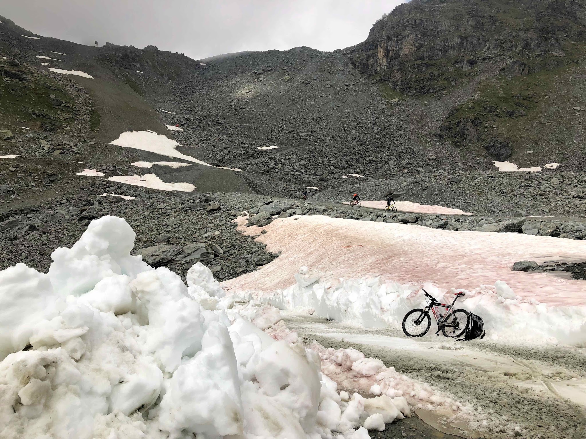
Roadway: Paved and in good condition for roughly the first 13-14 km out of Verbier. Above about 1,700 m the surface changes to coarse, unpaved gravel - a maintenance road built for the ski lifts, not a groomed cycling surface - and stays that way for the final push to the Col des Gentianes station at 2,900 m. Loose sections and sudden gravel breaks are real on the upper half; a gravel or cyclocross bike with wide tires handles it far better than a road bike, and the upper descent is genuinely tricky on anything narrower than about 30mm.
Traffic: Essentially no motor traffic on the upper gravel section - it exists to service the cable cars and ski infrastructure, not as a public through-road, so you'll see maintenance vehicles at most. The paved lower section carries normal light local/resort traffic through Verbier. The road is only reliably open roughly July through early September; it's typically snowbound and closed from around September/October through June, so check current conditions before planning a trip outside high summer.
Parking: Verbier has ample public parking and is the practical place to start and finish - it's a full-service Alpine resort village with everything a rider needs before or after the climb.
Ard Oostra, the PJAMM contributor who first identified this climb, rode it on an MTB with roughly 35mm tires; he reckons a strong rider with the right gearing could manage the climb itself on a road bike with 28mm tires, though the loose upper gravel makes the descent genuinely tricky on anything that skinny. A gravel or cyclocross bike with tires in the 30-35mm range is the sensible middle ground and what we'd recommend by default.
Bring more water and layers than the valley floor suggests - the top is above 2,900 m, exposed, and can be cold and windy even in summer. There's a restaurant at the Col des Gentianes cable-car station for food and drink once you're up, but nothing along the gravel section itself, so carry what you need for the climb.
Before heading out on any cycling adventure check out our Things to Bring on a Cycling Trip and use our interactive check list to ensure you don't forget anything.
Verbier is a well-known, full-service Alpine resort - hotels, restaurants, bike shops, and easy road/rail access from Martigny and the Rhône valley - so it's the obvious base for this climb. Plan your trip for July through early September; the road is typically snowbound and closed from around September/October through June, and conditions near the 2,900 m summit can turn quickly even in summer, with mist and wind common.
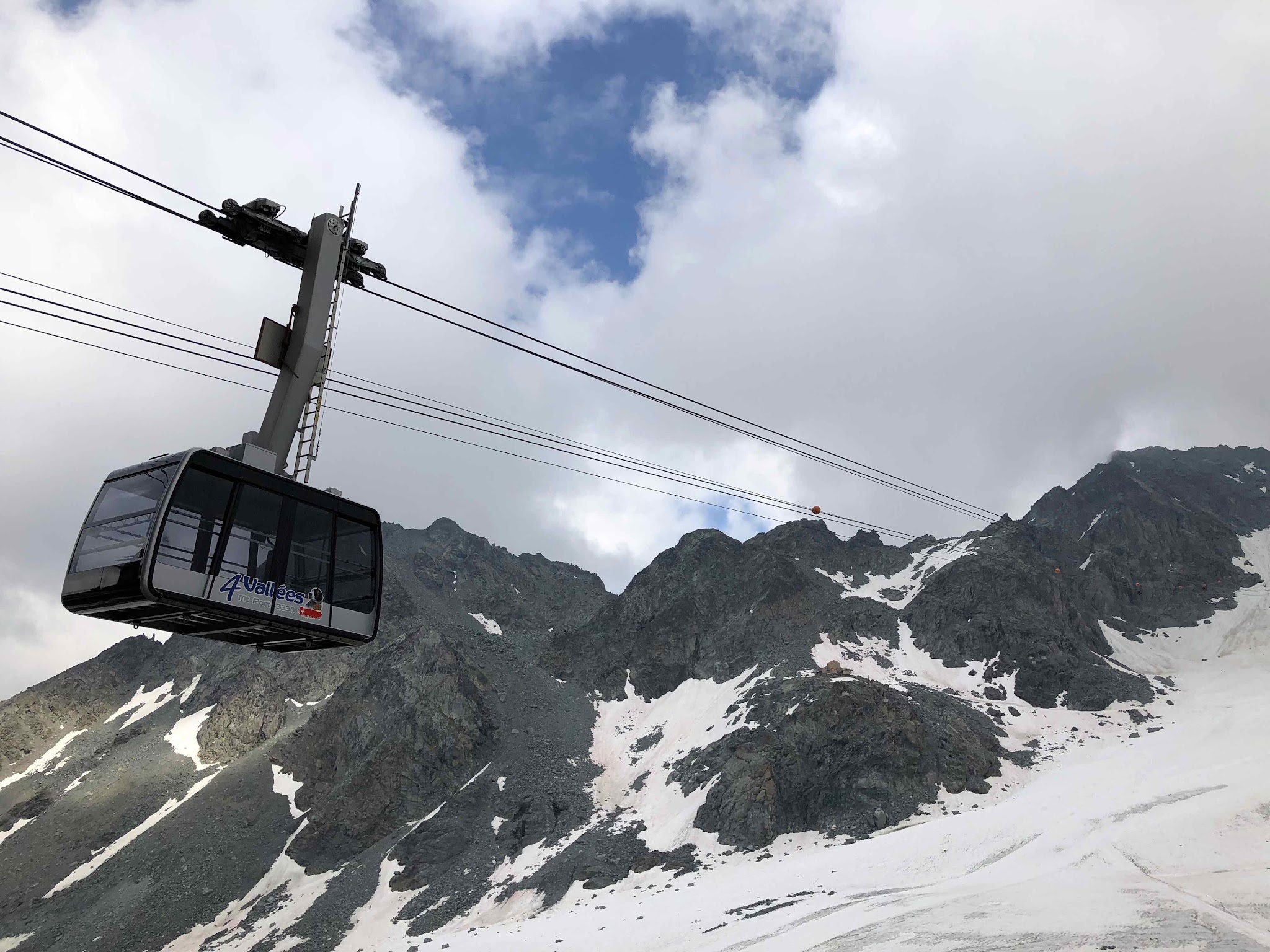
If you don't fancy the ride back down the gravel, or just want the view without the 3+ hour climb, the Tortin-Gentianes cable car covers the same ground in about 6 minutes and is a legitimate way to see the pass. Combine the climb with a stop at the summit restaurant, or extend into the wider Verbier/4 Vallées trail network if you're staying multiple days.
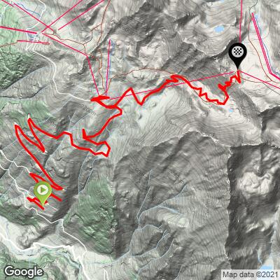
ROUTE MAP
MEMBER RATING
CURRENT WEATHER
PJAMM TRIPS ADVENTURE STARTER BUNDLES
Check out PJAMM Adventure's prepackaged (self-guided) cycling trips. They will help you plan, document and conquer your next adventure.
NEARBY CLIMBS (0) RADIAL PROXIMITY
FROM No Climbs Found
MEMBER REVIEWS & COMMENTS
Let us know what you thought of this climb. Signup for our FREE membership to write a review or post a comment.
Already have an account?
LOG IN HERE