30
PDI
15.2 mi
DISTANCE
5,027 ft
GAINED
6.2 %
AVG. GRADE
FULL CLIMB STATS
Page Contributor(s): Erwan Treguier, Brittany, France
INTRO
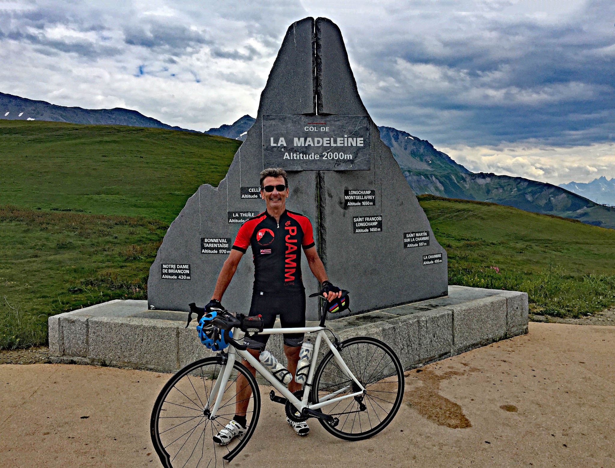
Col de la Madeleine North climbs 15.2 miles and 5,027 feet from La Léchère, in the Tarentaise valley, to the 6,463-foot summit - one of the true HC giants of the French Alps. The average grade is 6.2%, with the steepest mile touching 10.2% and the steepest kilometer reaching 10.4%, and there's rarely a real flat spot anywhere in the 15 miles.
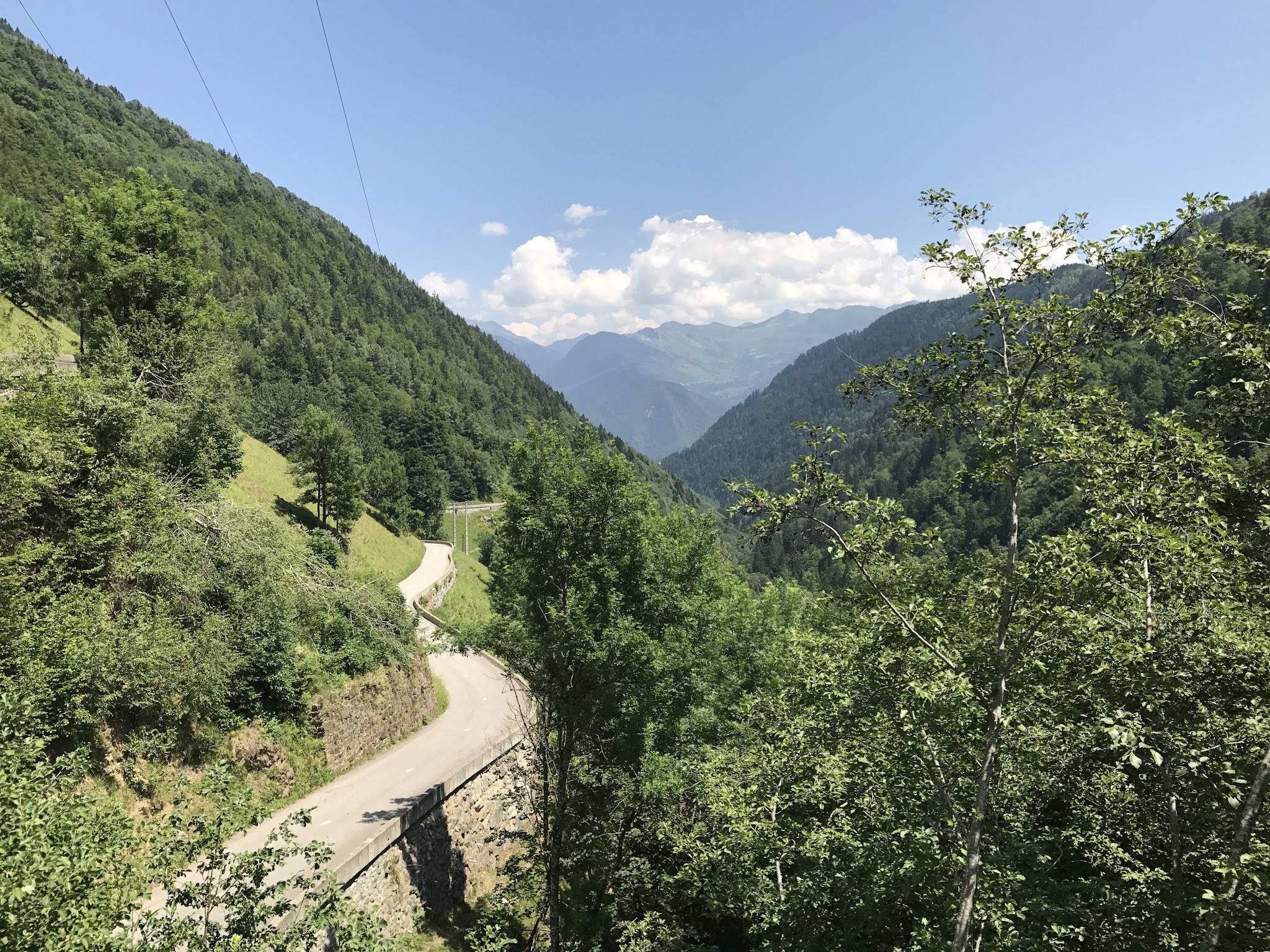
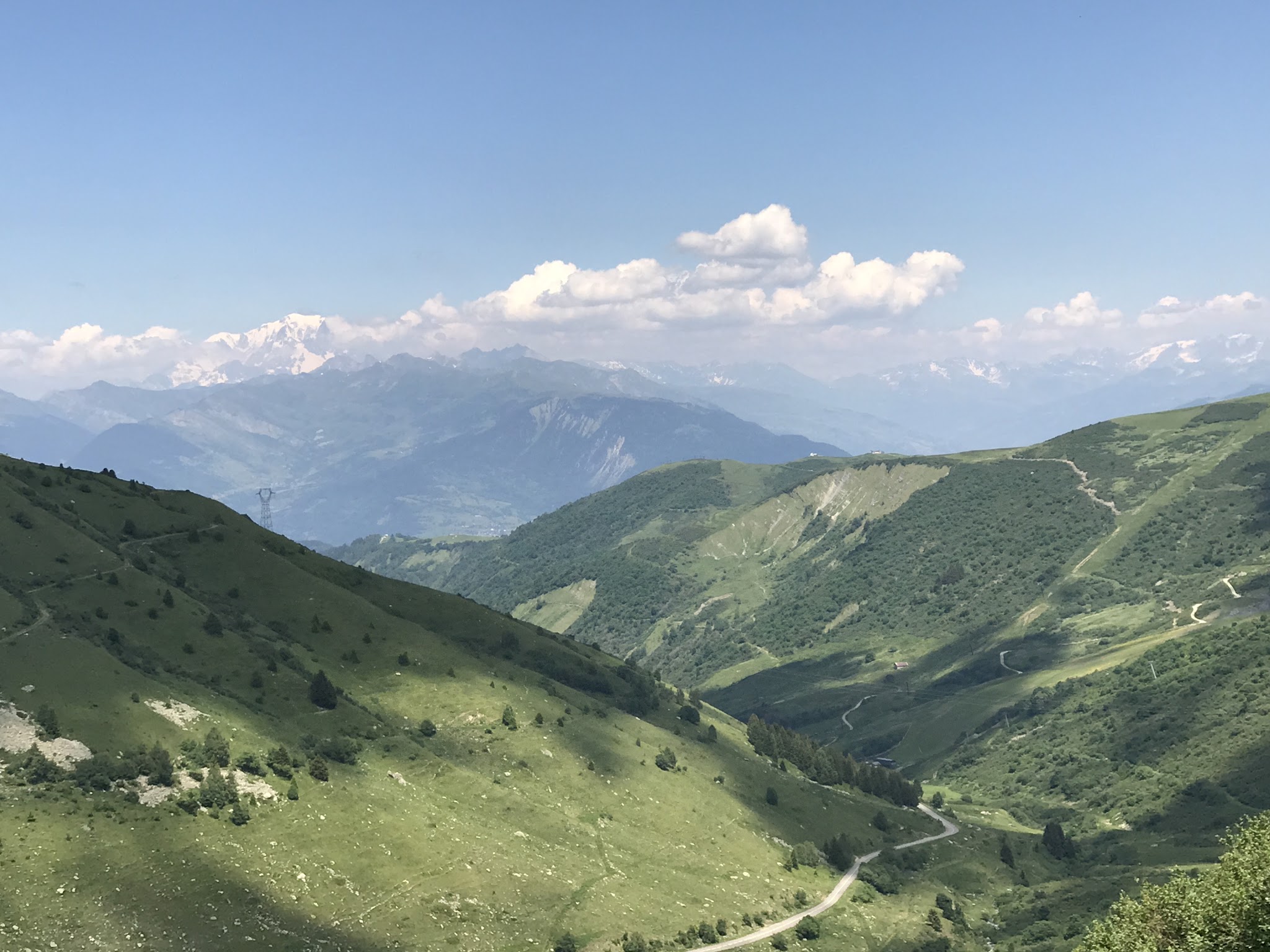
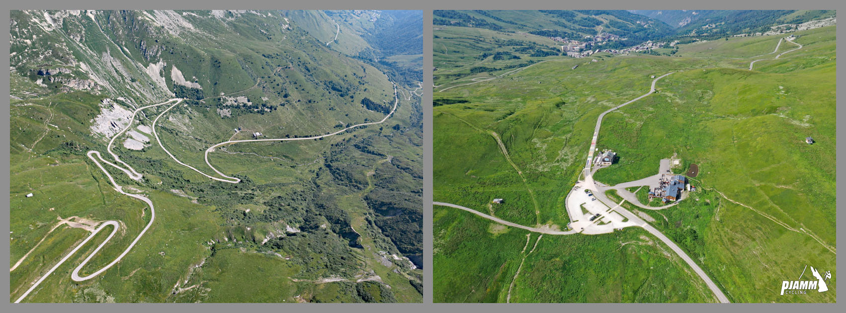
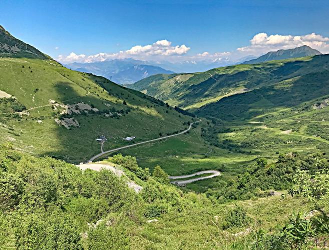
The climb sits at the heart of what we consider one of the greatest concentrations of legendary climbing anywhere in the world - the Col du Galibier, Col du Télégraphe, Col de l'Iseran, Col de Glandon, and Alpe d'Huez are all within a short drive. The route out of La Léchère starts with eight hairpins climbing straight out of town, then settles into a long, steady grind through forest before opening into high alpine pasture for the final several kilometers to the pass.
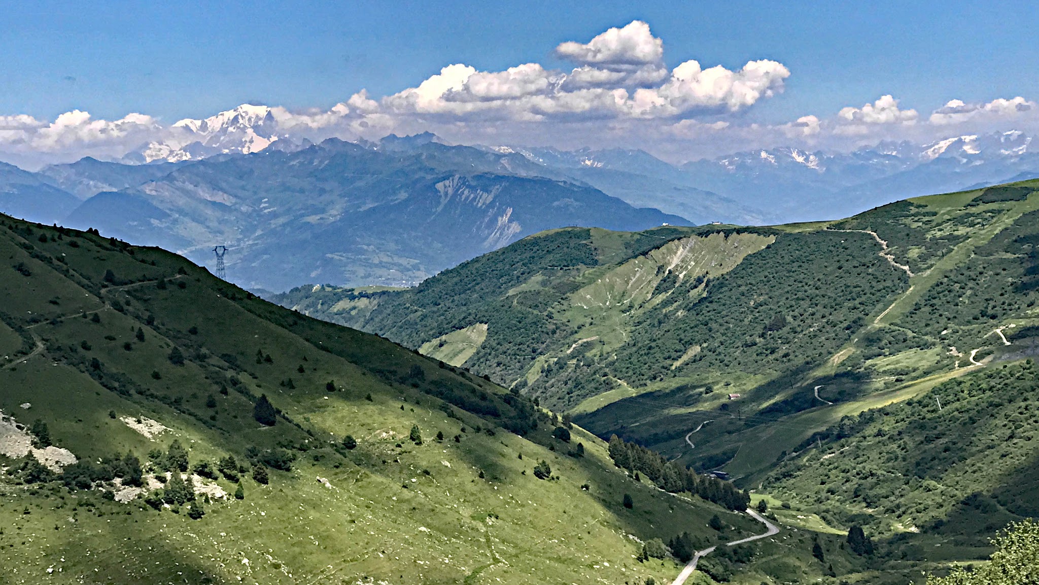
The Tour de France has sent riders over Col de la Madeleine 27 times since 1969, making it one of the race's most recurring HC summits - Richard Carapaz led the field over the top in 2020, continuing a list of climbers that includes some of the sport's biggest names. Add the surrounding company of Galibier, Télégraphe, and Alpe d'Huez, and this is about as complete a bucket-list day of climbing as exists in the Alps.
PLAN YOUR ROUTE
 We've partnered with Sherpa-Map.com to bring you the best route planning tool. With a PRO Membership you can use this climb as a reference when creating your route.
 Col de la Madeleine North averages 6.2% over 15.2 miles, gaining 5,027 feet from La Léchère (1,493 ft) to the summit (6,463 ft). The grade holds remarkably steady for such a long climb - the steepest mile averages 10.2%, the steepest 2.5 miles hold 8.6%, and the steepest kilometer touches 10.4% - which makes pacing more about managing 15 miles of sustained effort than surviving any one brutal pitch.
Roadway: The road is paved for the entire climb and, as one of the Alps' best-known cycling cols, is generally kept in good condition - though the RD213 through the Tarentaise does see periodic scheduled roadwork and short daytime closures for infrastructure repairs in the lower valley. Check Savoie département traffic alerts before you go, especially outside peak summer season, since these closures are usually brief but can affect timing.
Traffic: Traffic is heaviest on the lower hairpins out of La Léchère, where the road doubles as a local route through town, and again near the summit in summer when cars and tour buses share the final approach. The long middle section through the forest sees lighter, mostly cycling and local traffic.
Parking: La Léchère is a small thermal-spa town with parking available near the town center and along the road at the base of the first hairpins - a practical spot to start for riders not looking to add extra valley miles before the climb begins in earnest.
This is a long, sustained effort rather than a series of brutal ramps - a compact or wide-range cassette will make the 15 miles more comfortable, but nothing here demands the ultra-low gearing some of the steeper Alpine climbs require. Bring layers for the descent - temperatures at 6,463 feet can be dramatically cooler than the valley floor, even in summer - and carry enough food and water for the full climb, since services thin out above La Léchère.
Before heading out on any cycling adventure check out our Things to Bring on a Cycling Trip and use our interactive check list to ensure you don't forget anything.
La Léchère-les-Bains is a working thermal-spa town with cafes and restaurants for a pre- or post-ride stop, and makes a reasonable base for tackling several of the Tarentaise and Maurienne's other legendary climbs during a longer stay. The col is typically open from mid-May to mid-October depending on snowfall; check current conditions before an early- or late-season attempt, since the summit sits well above where spring arrives in the valley. With so many HC climbs within reach of this area, our Routes in the Area tool is worth a look for planning out the rest of a multi-day trip.
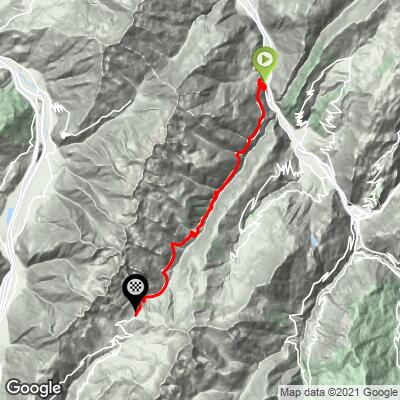
ROUTE MAP
MEMBER RATING
CURRENT WEATHER
PJAMM TRIPS ADVENTURE STARTER BUNDLES
Check out PJAMM Adventure's prepackaged (self-guided) cycling trips. They will help you plan, document and conquer your next adventure.
NEARBY CLIMBS (0) RADIAL PROXIMITY
FROM No Climbs Found
MEMBER REVIEWS & COMMENTS
Let us know what you thought of this climb. Signup for our FREE membership to write a review or post a comment.
Already have an account?
LOG IN HERE
zesoloist
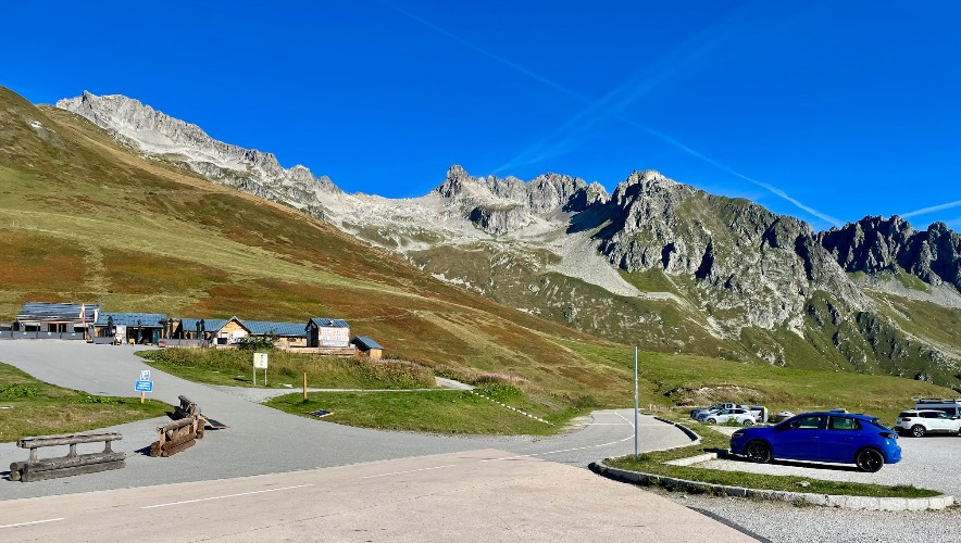
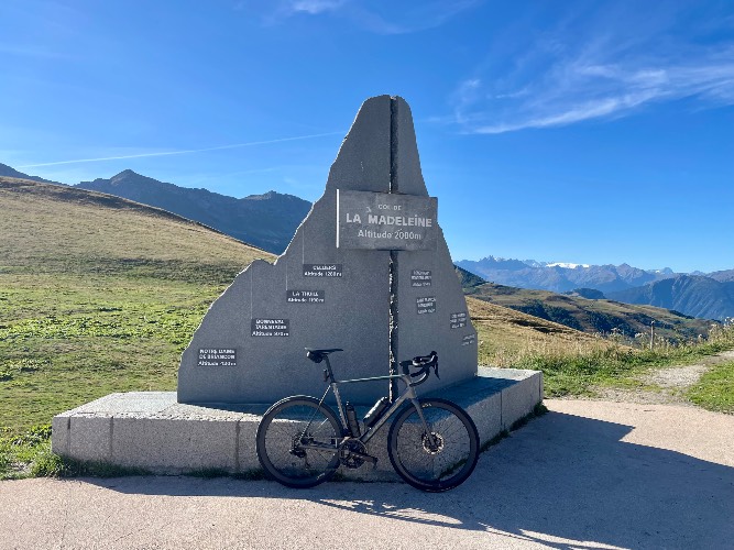
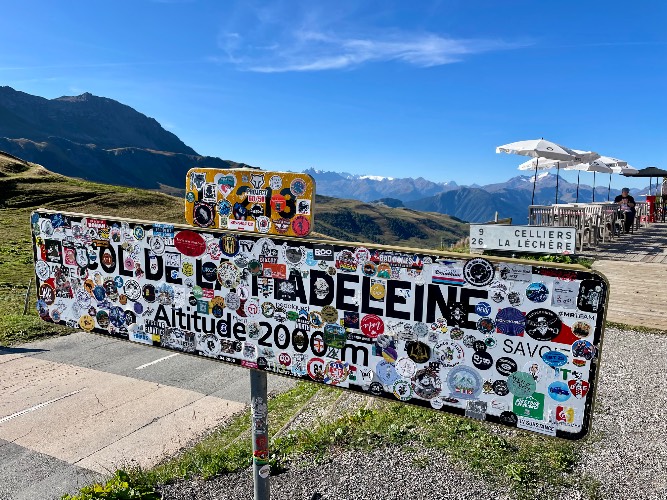
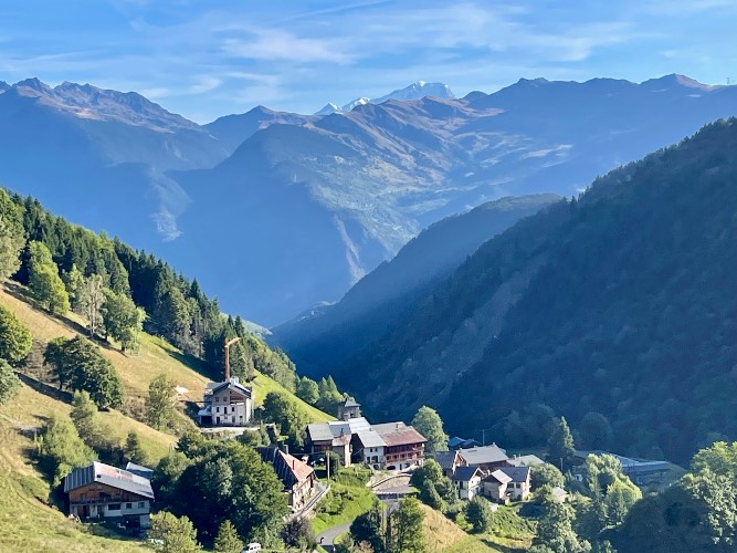
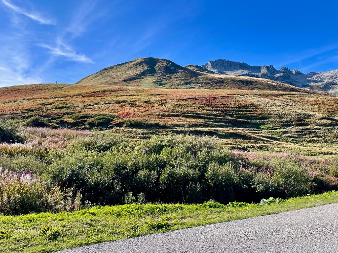
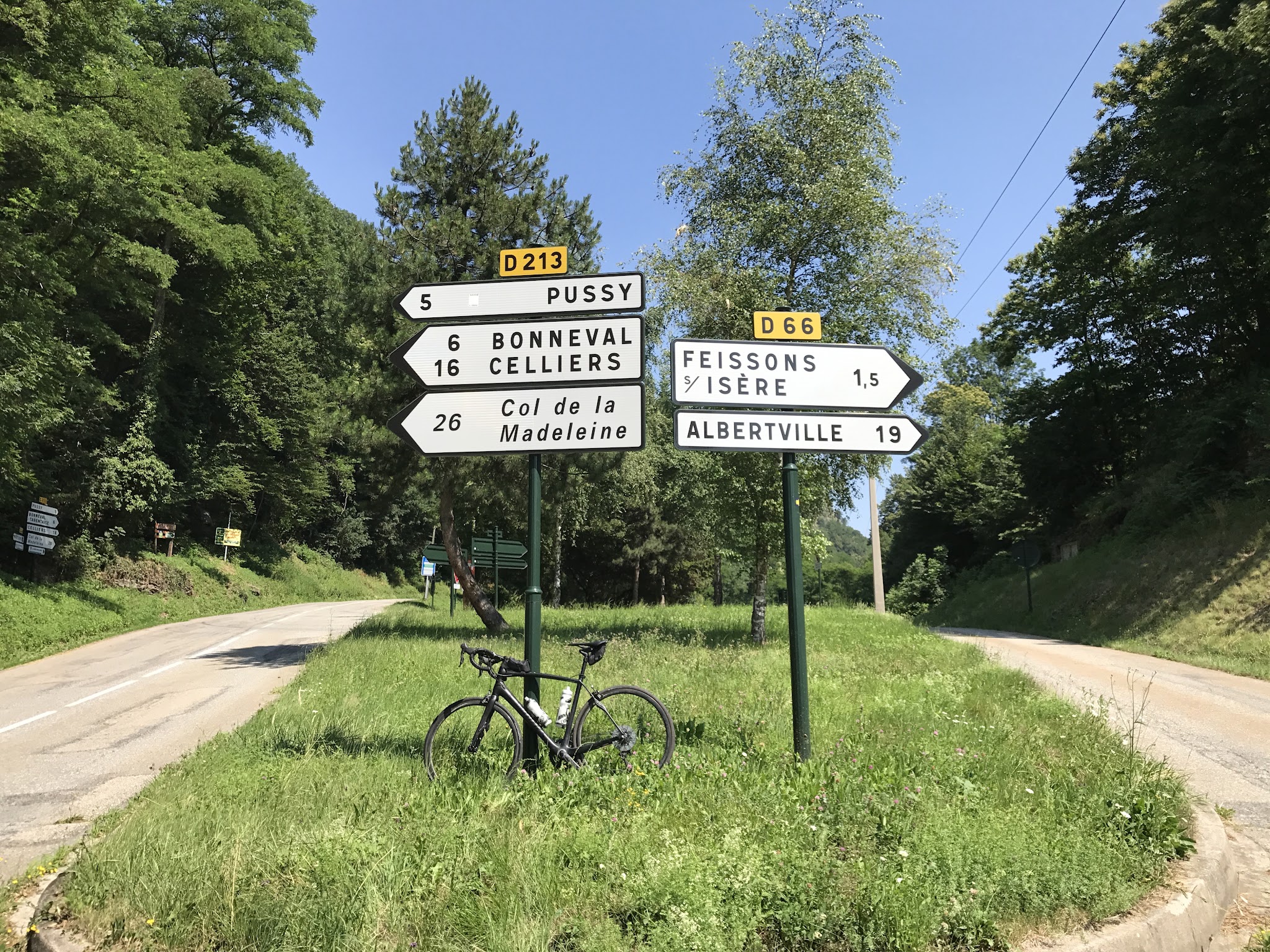
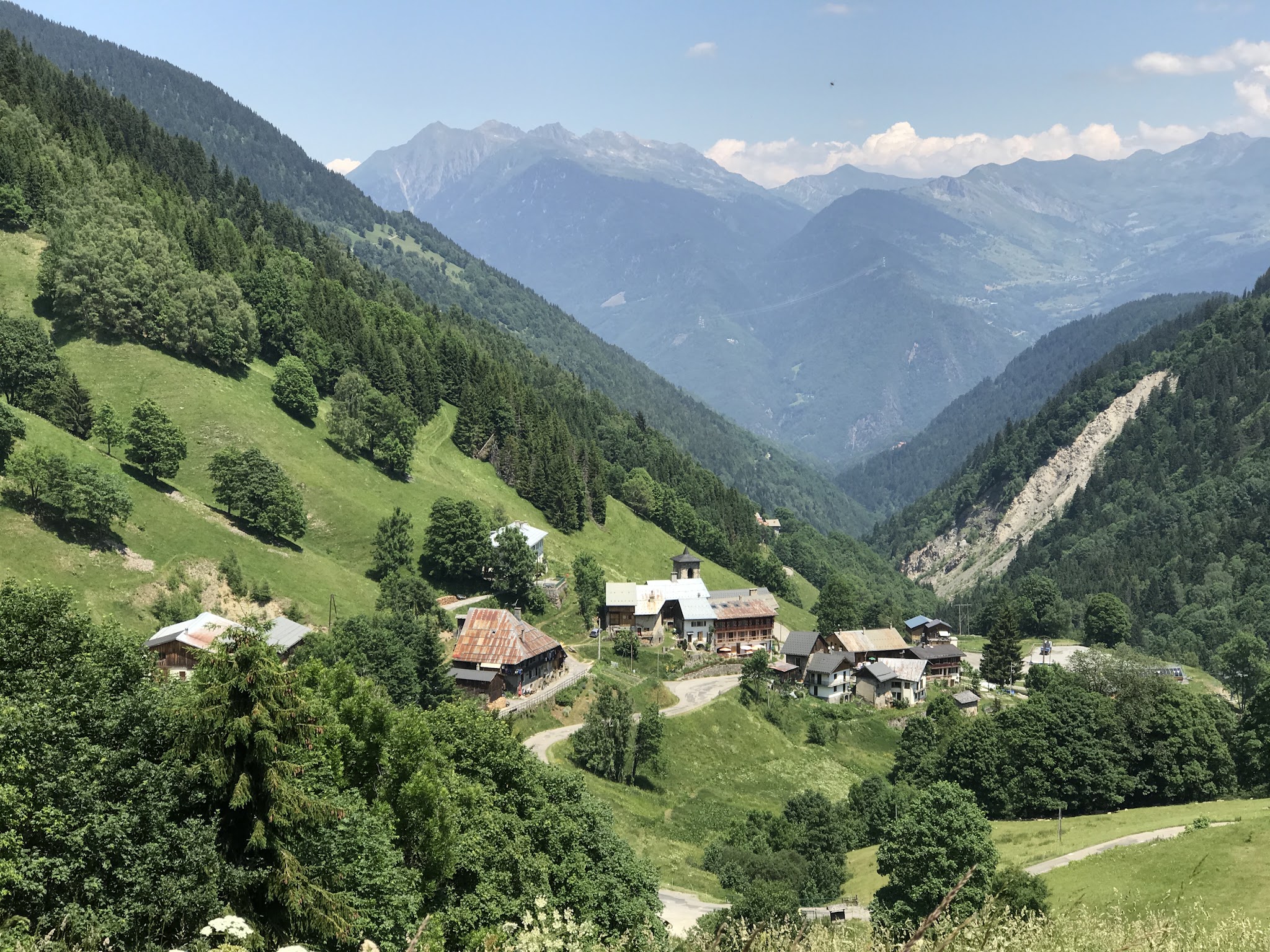
Rode this on a Saturday. More motos than cars. My first comment, an opinion, is this direction is not nearly as good (in all respects as south to north). In the trees most of the time so the only nice views are the last couple miles. Better to descend this side because there are only a couple small villages so you arent on the brakes all the time. Descending down around 5 PM after Glandon and Chaussy so there was minimal traffic and good sightlines. See my review for climbing up south to north. There are three water spouts in Celliers (two in the middle of town across the street from each other, one just after you leave town on the way up). Cafe at summit was empty when I got there around 7:45 AM.
golmstead


A wonderful climb through the forest in the lower half, then above the tree line it's really spectacular. A really natural setting that's very peaceful. In the village of Celliers there is a water spigot to fill bottles but then I don't remember another source until the finish.