20.1
PDI
18.4 mi
DISTANCE
4,281 ft
GAINED
4 %
AVG. GRADE
FULL CLIMB STATS
Page Contributor(s): Anja Kalan, Škofja Loka, Slovenija
INTRO
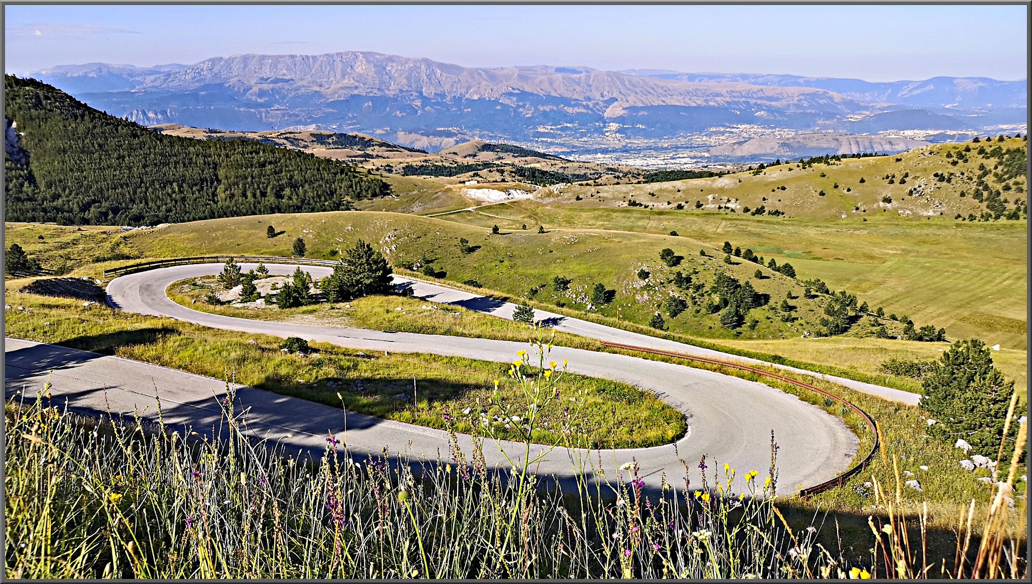
Gran Sasso d'Italia climbs 29.6 km (18.4 mi) from Assergi, in Abruzzo's Parco Nazionale del Gran Sasso e Monti della Laga, to the Piazzale Campo Imperatore at 2,100 m (6,889 ft). It gains 1,305 m (4,281 ft) from 918 m (3,012 ft) at a 4.0% average (about 5.5% if you count only the climbing), and it is currently ranked #977 in the world in our database.
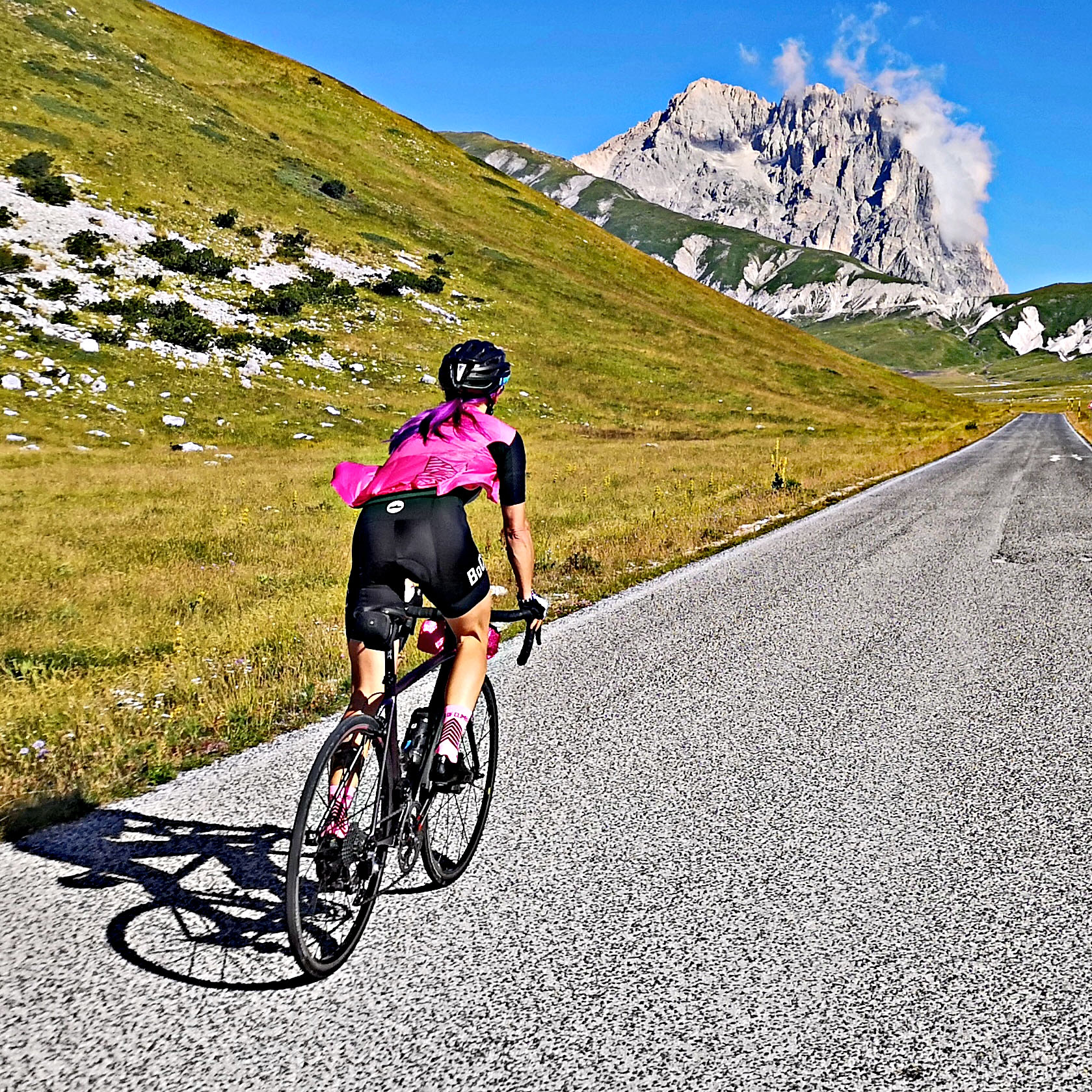
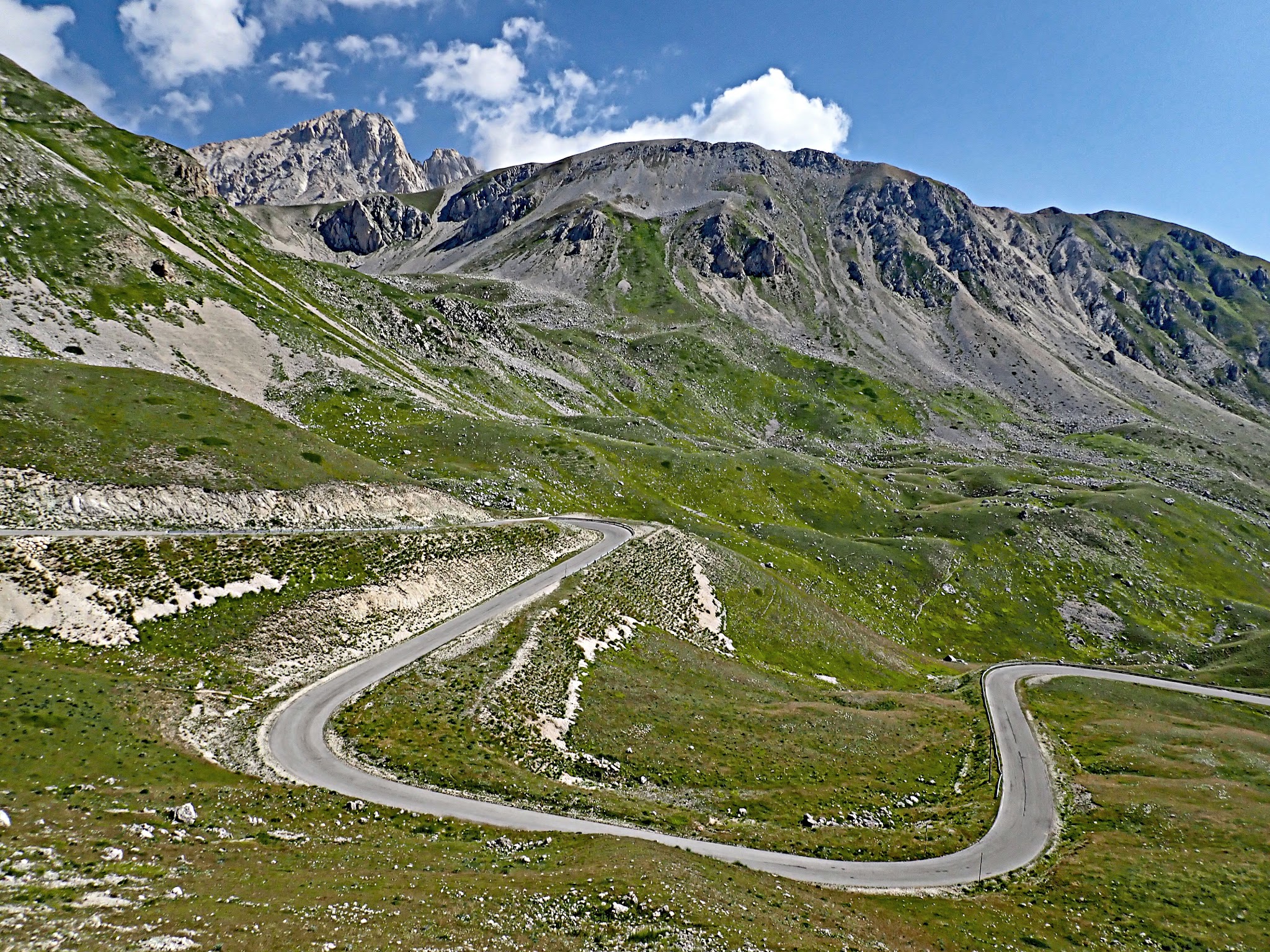
This is a long climb in two acts. The SS17 bis rises through Fonte Cerreto to about 1,705 m (5,594 ft) by the 18 km (11.2 mi) mark, dips about 64 m (210 ft) as it crosses onto the high plateau, then climbs again for the last 8 km (5.0 mi) or so to the Campo Imperatore finish. The steepest 5 km (3.1 mi) averages 7.3%. Corno Grande, at 2,912 m (9,554 ft) the highest peak in the Apennines, dominates the skyline.
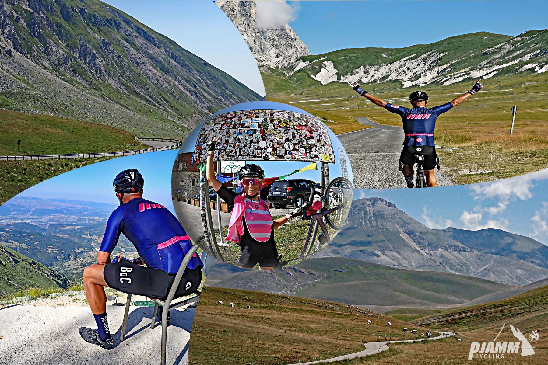
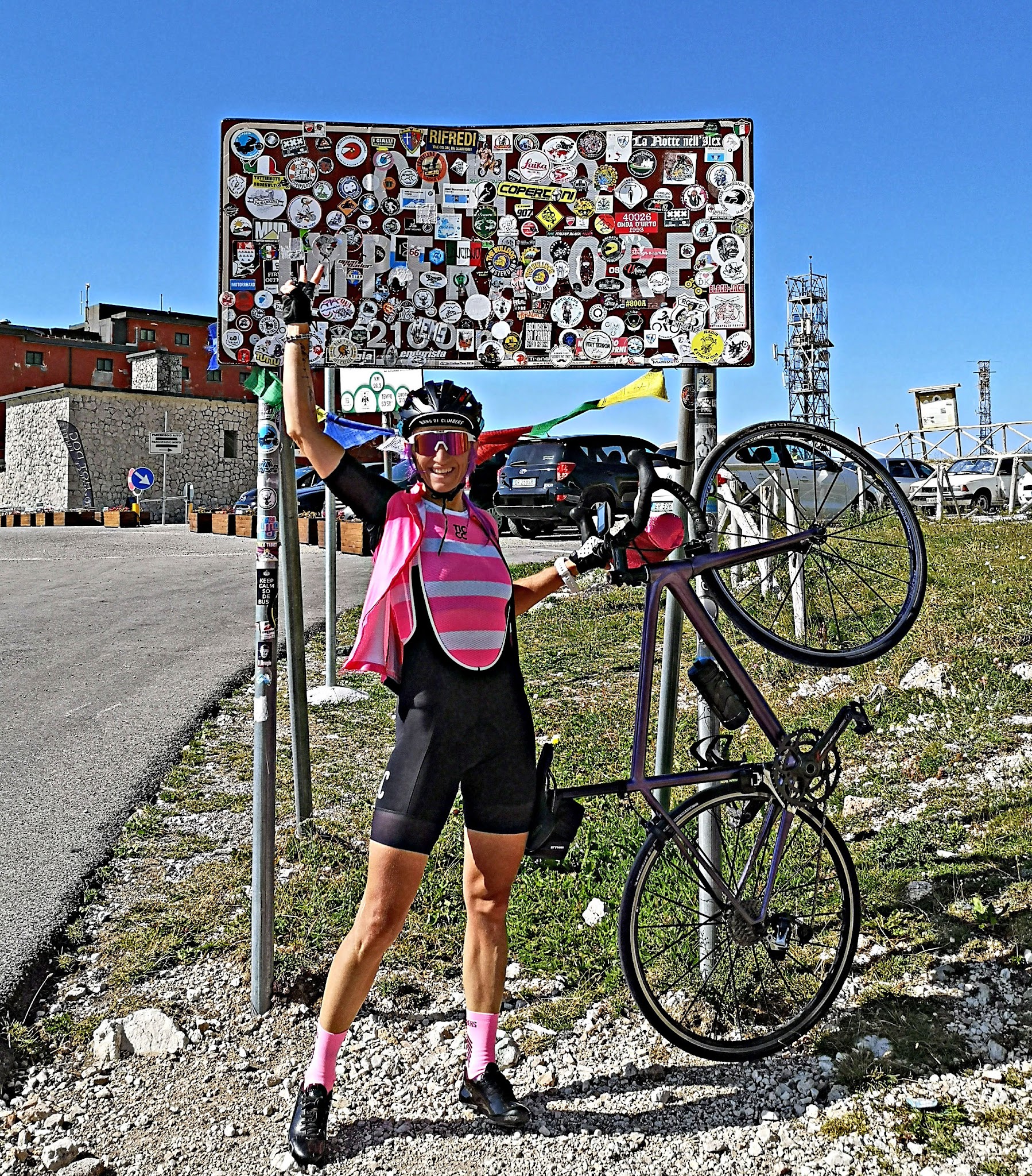
The Giro d'Italia has finished here repeatedly, first in 1971, with Marco Pantani winning in 1999, Simon Yates in 2018 and Davide Bais in 2023. Our thanks to PJAMM Ambassador Anja Kalan of Škofja Loka, Slovenia, for the photographs on this page.
PLAN YOUR ROUTE
 We've partnered with Sherpa-Map.com to bring you the best route planning tool. With a PRO Membership you can use this climb as a reference when creating your route.
The average grade is 4.0% over 29.6 km (18.4 mi), rising from 918 m (3,012 ft) to 2,100 m (6,889 ft). The steepest 0.5 km (0.3 mi) averages 9.6%, the steepest kilometer (0.6 mi) 9.5%, the steepest 5 km (3.1 mi) 7.3% and the steepest 10 km (6.2 mi) 5.3%. The hardest single pitch, about 100 yards (91 m), reaches 10.2%.
The average hides the shape of the ride. The first 18 km (11.2 mi) climbs about 787 m (2,582 ft) at roughly 4.4%, the road then dips and rolls across the plateau edge, and the final 8 km (5.0 mi) from about 1,641 m (5,384 ft) climbs at roughly 5.4%.
Roadway: The SS17 bis from Assergi is paved throughout and is the classic, most scenic way up from the west, with hairpins and views of Corno Grande. Pavement is generally good, though harsh winters leave cracks and dips, and wind and rain can leave gravel on exposed sections. Snow closes the upper road in winter; the plateau road is best from May to October, so check pass status before you go.
Traffic: Busy on summer weekends. Motorcyclists make this a destination road, and in July 2025 a barrier was introduced at the Fontari junction, about 3 km (1.9 mi) below the Albergo, which is lowered to cars when the 2,130 m (6,988 ft) parking lot is full.
Parking: Assergi is a village of just over 500 residents, a few minutes from the A24 Assergi exit, and the climb starts on the SS17 bis at its edge; park in the village rather than on the highway shoulder. At the top, cars are redirected to the free parking at the Fontari basin (1,900 m / 6,234 ft) when the main lot is full.
Provisions: There are no services on the lower climb, so start with full bottles and food. At the top the Albergo, Ostello and Rifugio Duca degli Abruzzi sit on the Campo Imperatore square, and a rifugio-restaurant operates at the Fontari basin at 1,900 m (6,234 ft).
Gear: A compact chainring suits the long 4% to 7% grades. At 2,100 m (6,889 ft) the weather turns quickly even in summer, so carry a windproof jacket, arm warmers and a spare layer for the long descent.
Before heading out on any cycling adventure check out our Things to Bring on a Cycling Trip and use our interactive check list to ensure you don't forget anything.
Assergi is the right place to spend an afternoon before or after the ride. Its church of Santa Maria Assunta dates to the 12th century, with a 15th-century facade like that of Santa Maria di Collemaggio in L'Aquila, frescoes and a crypt carved from rock. The village still shows damage from the 2009 earthquake, and beneath the massif the Gran Sasso National Laboratory, run by the INFN, sits under about 1,400 m (4,593 ft) of rock.
The cable car from Fonte Cerreto, 3 km (1.9 mi) up the road, reaches the Albergo Campo Imperatore in minutes. The hotel held Benito Mussolini prisoner from August 1943 until German commandos freed him on 12 September 1943. On the plateau, look for the Alpine Botanical Garden (founded 1952), the CINEOS observatory and the church of Madonna della Neve.
The hill towns on the far side of the plateau, Calascio and Santo Stefano di Sessanio, are covered on our Calascio and Gran Sasso d'Italia (Campo Imperatore) pages. Before heading up, check conditions at the base and at the 2,100 m (6,889 ft) finish with our Weather tool.
ROUTE MAP

MEMBER RATING
CURRENT WEATHER
PJAMM TRIPS ADVENTURE STARTER BUNDLES
Check out PJAMM Adventure's prepackaged (self-guided) cycling trips. They will help you plan, document and conquer your next adventure.
NEARBY CLIMBS (0) RADIAL PROXIMITY
FROM No Climbs Found
MEMBER REVIEWS & COMMENTS
Let us know what you thought of this climb. Signup for our FREE membership to write a review or post a comment.
Already have an account?
LOG IN HERE