16.3
PDI
7 mi
DISTANCE
2,354 ft
GAINED
6.4 %
AVG. GRADE
FULL CLIMB STATS
Page Contributor(s): (Cover photo) Enrique Alcaraz, Google
INTRO
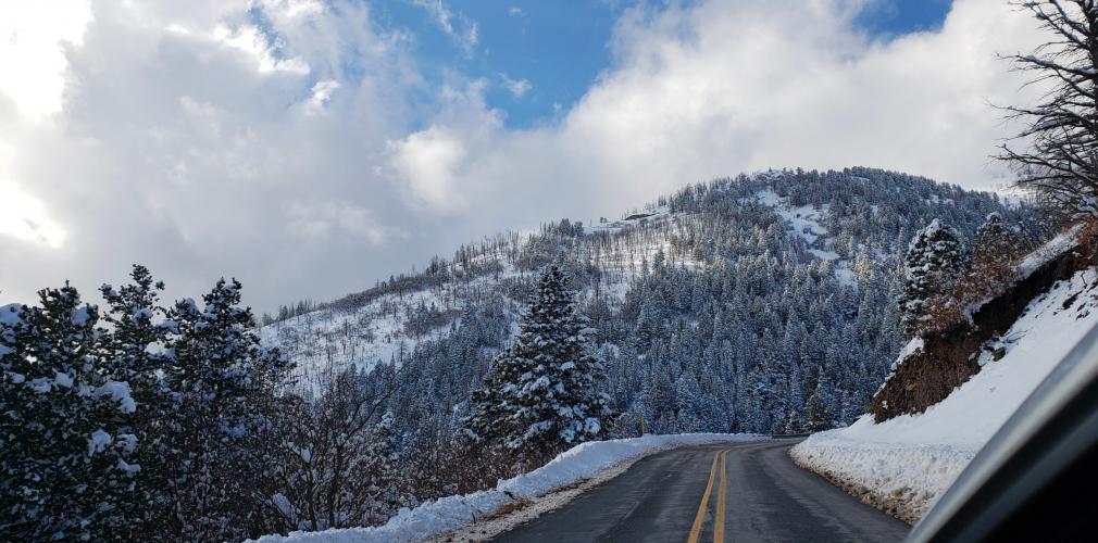
"The ascent of Ski Apache may be the most spectacular in New Mexico. A high altitude start and along a narrow road much of the route (and poor pavement in places as of late 2011), the grade is challenging and you ride over multiple switchbacks, some of which contain double digit grade. Through thick trees over part of the route, big mountain views are available near the top as well. The listed climb ends as a right hand bend with a gravel parking area at an overlook on the left. You can continue to ride along very shallow/flat and then descending terrain to the actual ski area. Ski Apache is a challenging descent as well." (This quote is presented with the approval of John Summerson, from his book, The Complete Guide to Climbing (by Bike), 2nd Edition, pg. 202.)
PLAN YOUR ROUTE
 We've partnered with Sherpa-Map.com to bring you the best route planning tool. With a PRO Membership you can use this climb as a reference when creating your route.
 See more details and tools regarding this climb's grade via our interactive Profile Tool.
Information Not Available
If you have any information regarding this climb, we'd like to hear from you. Click the CONTRIBUTE button to share your thoughts with us.
Information Not Available
If you have any information regarding this climb, we'd like to hear from you. Click the CONTRIBUTE button to share your thoughts with us.
Before heading out on any cycling adventure check out our Things to Bring on a Cycling Trip and use our interactive check list to ensure you don't forget anything.
Information Not Available
If you have any information regarding this climb, we'd like to hear from you. Click the CONTRIBUTE button to share your thoughts with us.
ROUTE MAP

MEMBER RATING
CURRENT WEATHER
PJAMM TRIPS ADVENTURE STARTER BUNDLES
Check out PJAMM Adventure's prepackaged (self-guided) cycling trips. They will help you plan, document and conquer your next adventure.
NEARBY CLIMBS (0) RADIAL PROXIMITY
FROM No Climbs Found
MEMBER REVIEWS & COMMENTS
Let us know what you thought of this climb. Signup for our FREE membership to write a review or post a comment.
Already have an account?
LOG IN HERE
carbon23
I did this climb in September when Ski Apache was closed so my experience may be atypical, but traffic was light although there was an area of construction near the top. No part of the climb is too bad if you are accustomed to the altitude. The road condition is alright so be careful on the descent.

