![]()
Cycling Go Road Summit
Ride 6.6 miles gaining 3,089’ at 8.9% average grade.
![]()
Climb begins on Go Road as you cross the bridge over the South Fork of the Smith River.
Thanks to PJAMM contributor Don Baty, Corvallis, OR for the following summary of this climb:
1) It is most certainly paved, but the road ends at the 11.8 mile mark, then turns to a trail. The 8.3 miles I rode looks like a residential road in a nice neighborhood...there is curbing along most of it, and some fancy drainage infrastructure. It would make for an outstanding ride to start in Hiouchi, ride along Upper Smith River, then top it off with this beauty of a climb.
![]()
Go Road is in Six Rivers National Forest (957,590 acres, established 1947)
2) Road conditions.. Short history of the road is that the Forest Service built it against almost everyone's advice. Since there was so much controversy they all but gave up trying to maintain the whole road. Since there is not much traffic, there are areas of rocks in the road, and some tree debris. I had no problem with debris, as you can get through it without dismounting
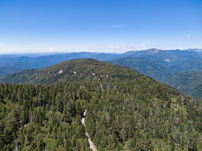
3) Scenery on this ride is best in the lower part, with classic lush evergreen canopy, As you ascend, the trees become smaller and more thinned out. There are a few areas where you can see the surrounding hills, but it won't win any awards...but down along the Upper Smith...wow! That is super scenic.
![]()
4) Nearest provisions would probably be in Hiouchi. There is a campground near where G-O splits off from Upper Smith, but I don't know what's there...probably like most campgrounds...nothing.
![]()
Unmarked finish at the steep grade sign.
That's about all I know. I rode Upper Smith River road a couple of years ago, and wondered where it ended up.So this trip passing through I decided to just explore it. Turned out better (and way harder) than I was expecting!
![]()

 We've partnered with Sherpa-Map.com to bring you the best route planning tool. With a PRO Membership you can use this climb as a reference when creating your route.

