44.8
PDI
7.6 mi
DISTANCE
4,613 ft
GAINED
11.4 %
AVG. GRADE
FULL CLIMB STATS
Page Contributor(s): Erwan Treguier, Brittany, France; Patrick Blonk, Netherlands.
INTRO
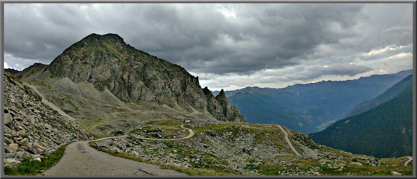
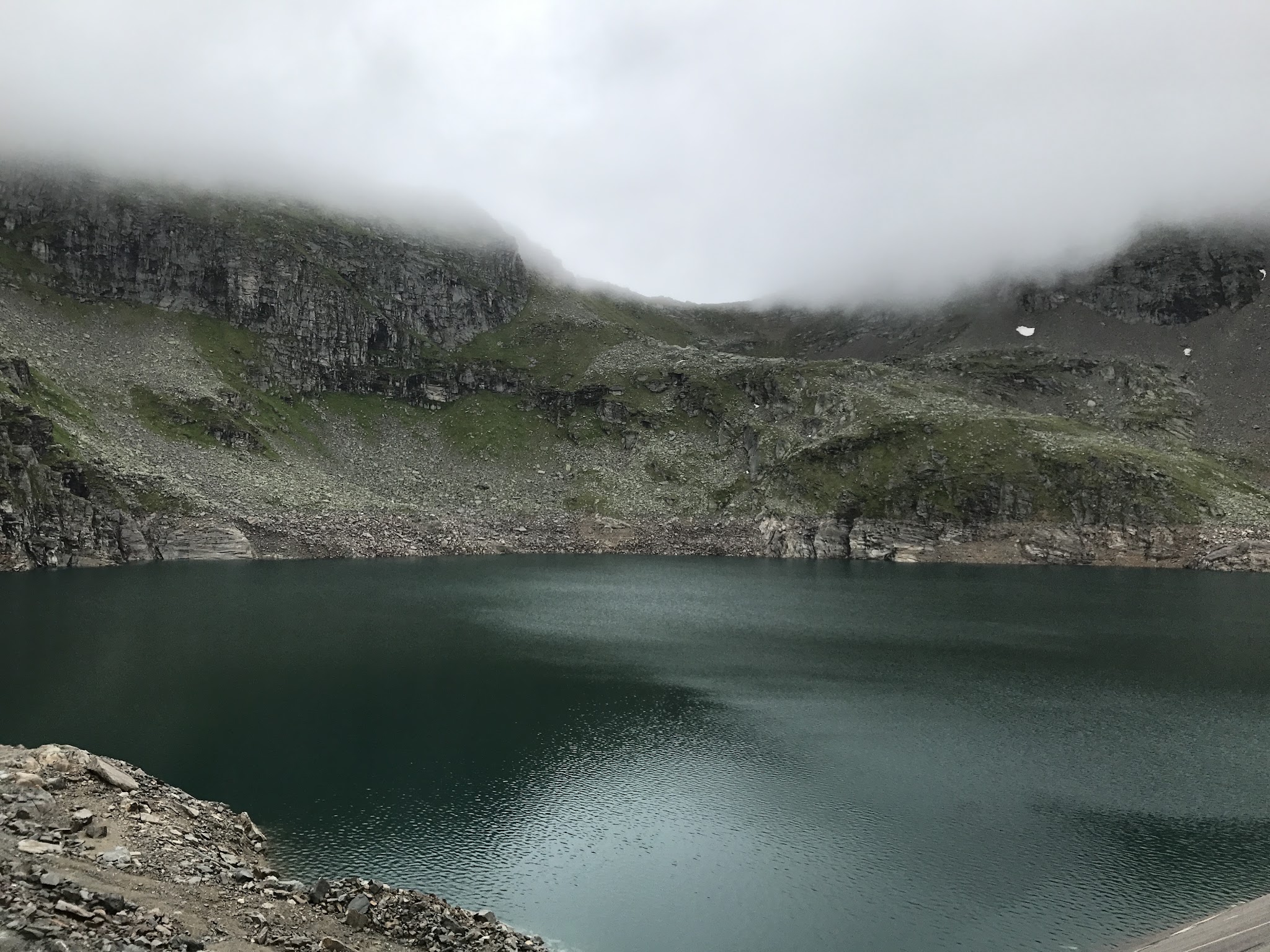
Grosser Oscheniksee is a dead-end climb up a narrow utility road built by the Kärntner Elektrizitätswerke (KELAG) to the Oscheniksee reservoir at 2,394 meters (7,854'), tucked in the Fragant valley - a side valley of the Mölltal, just below the Grossglockner High Alpine Road in Austria's Hohe Tauern range. From the fork above Innerfragant, we climb 12.3 km (7.6 mi) and gain roughly 1,400 meters (4,600') at an 11.4% average grade.
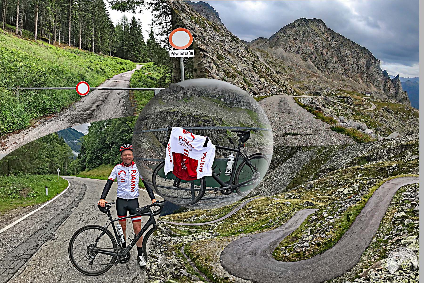
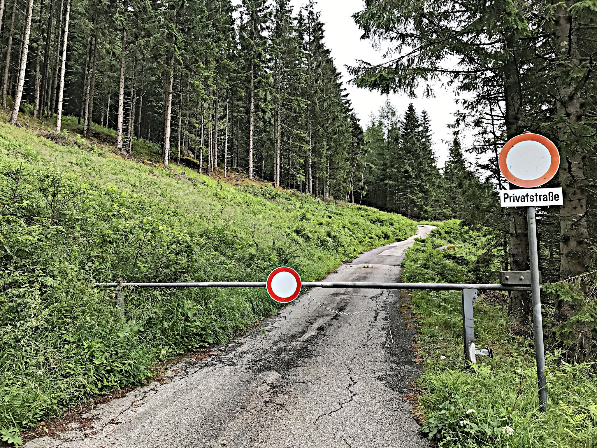
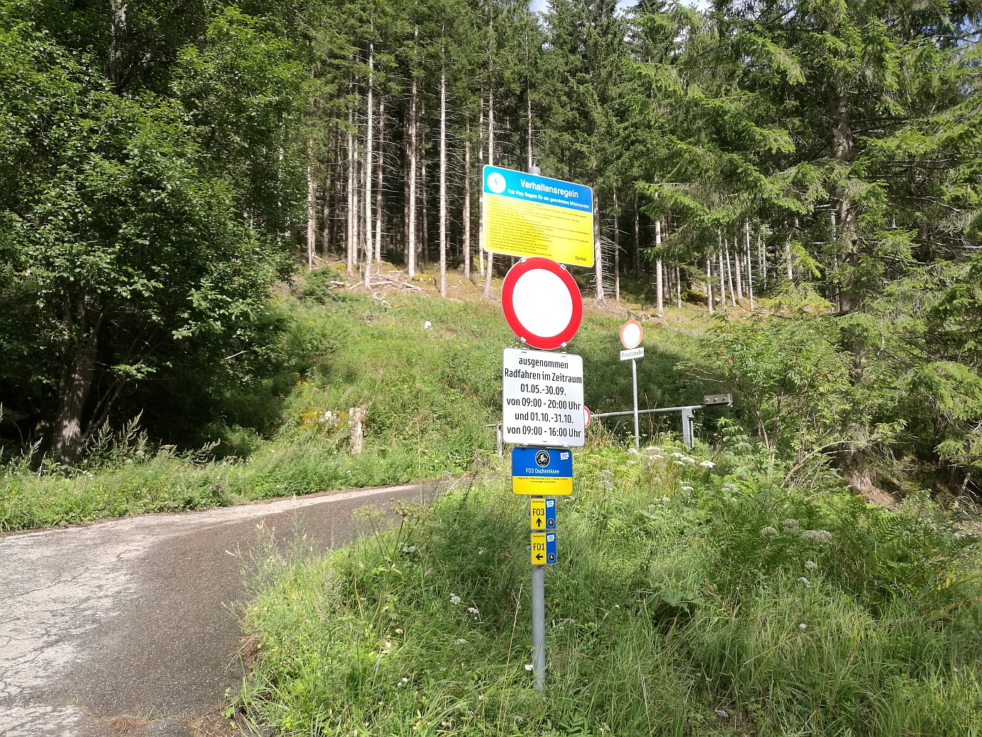
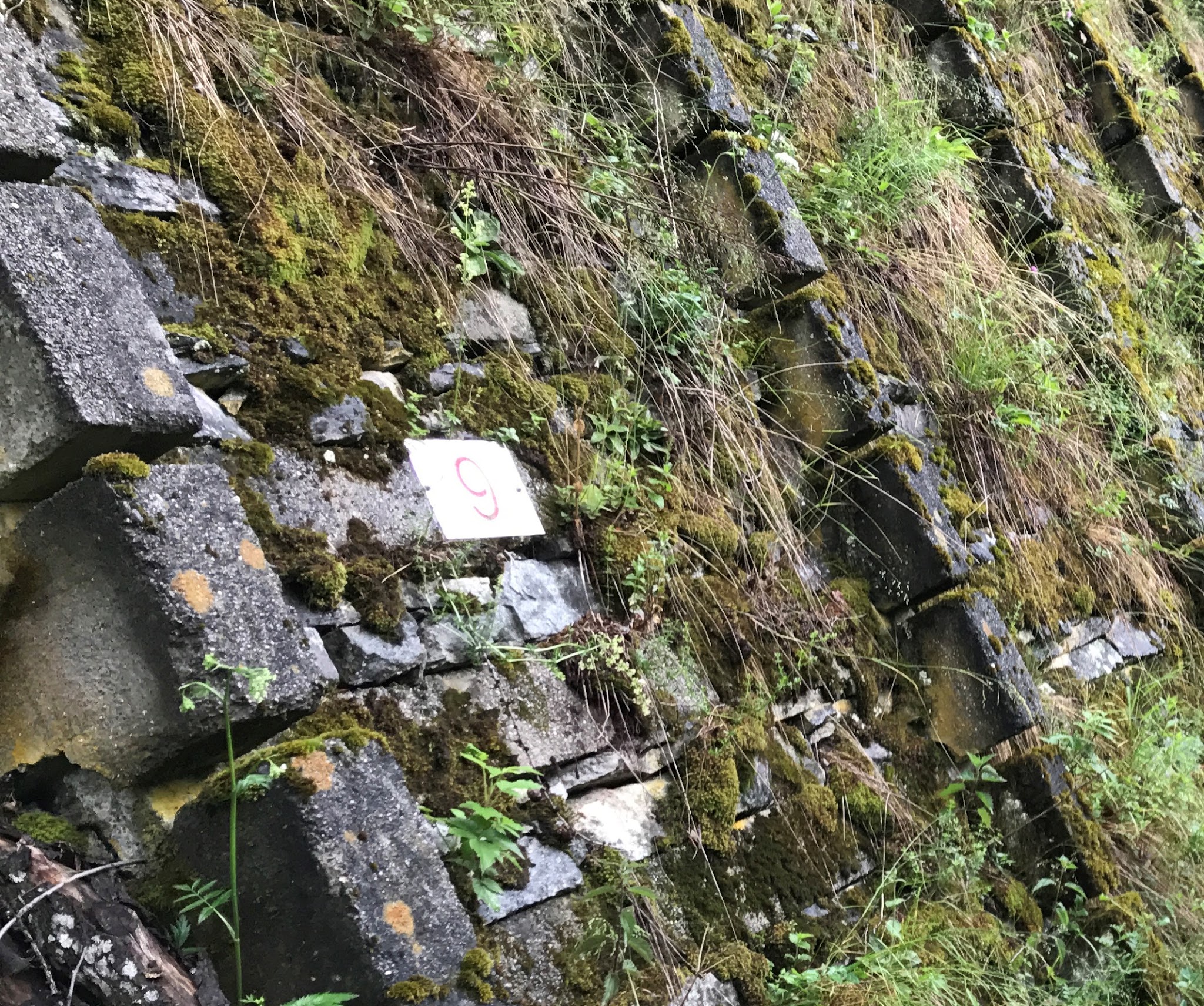
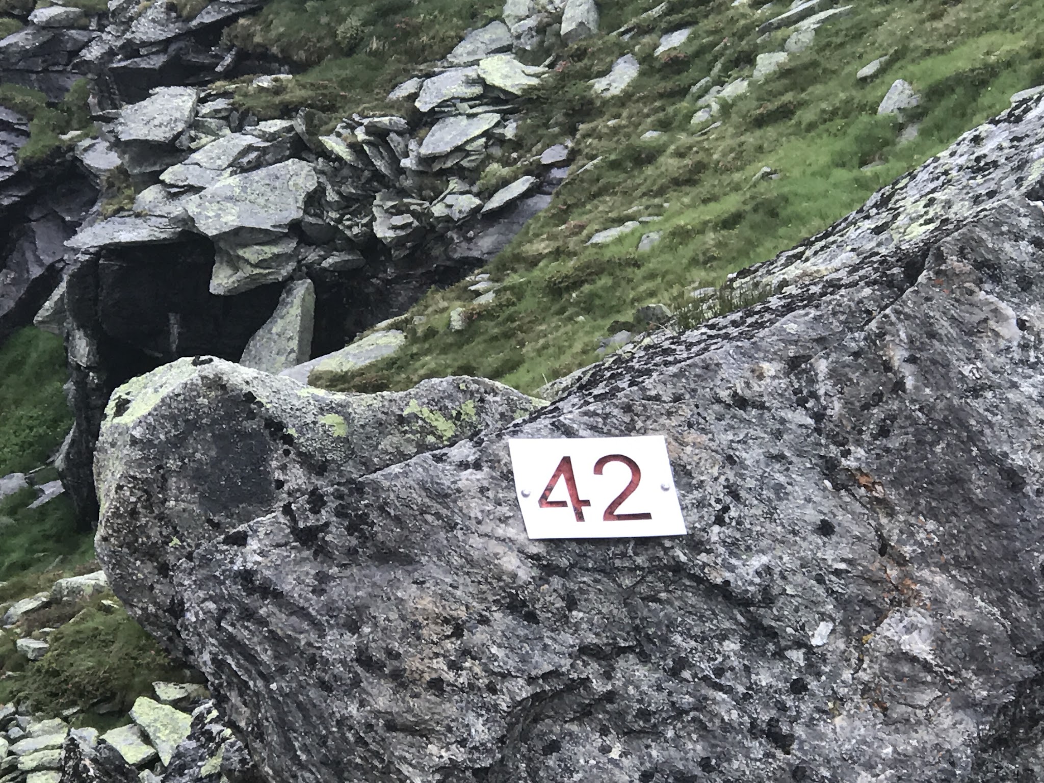
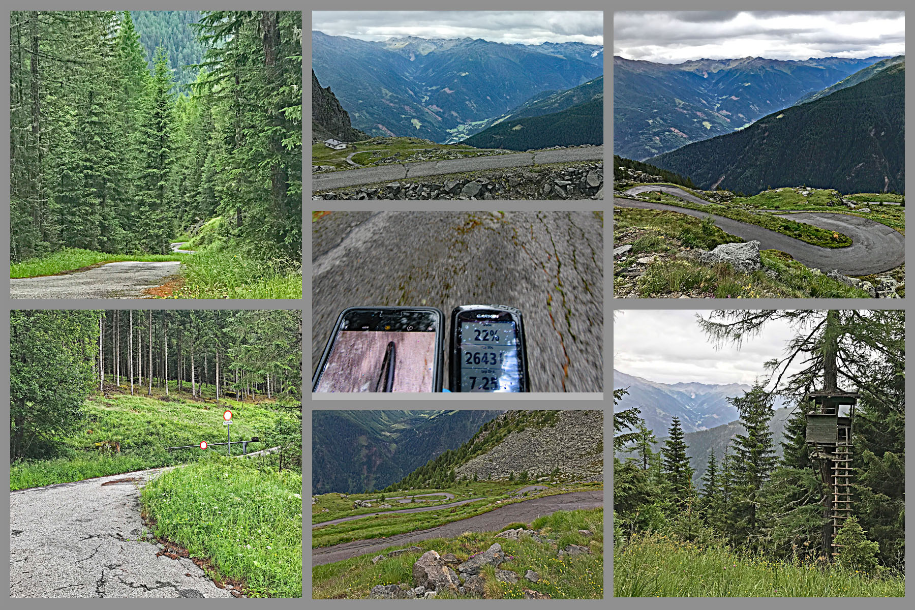
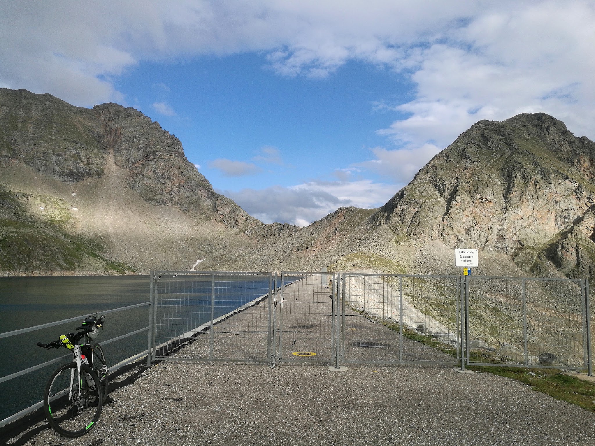
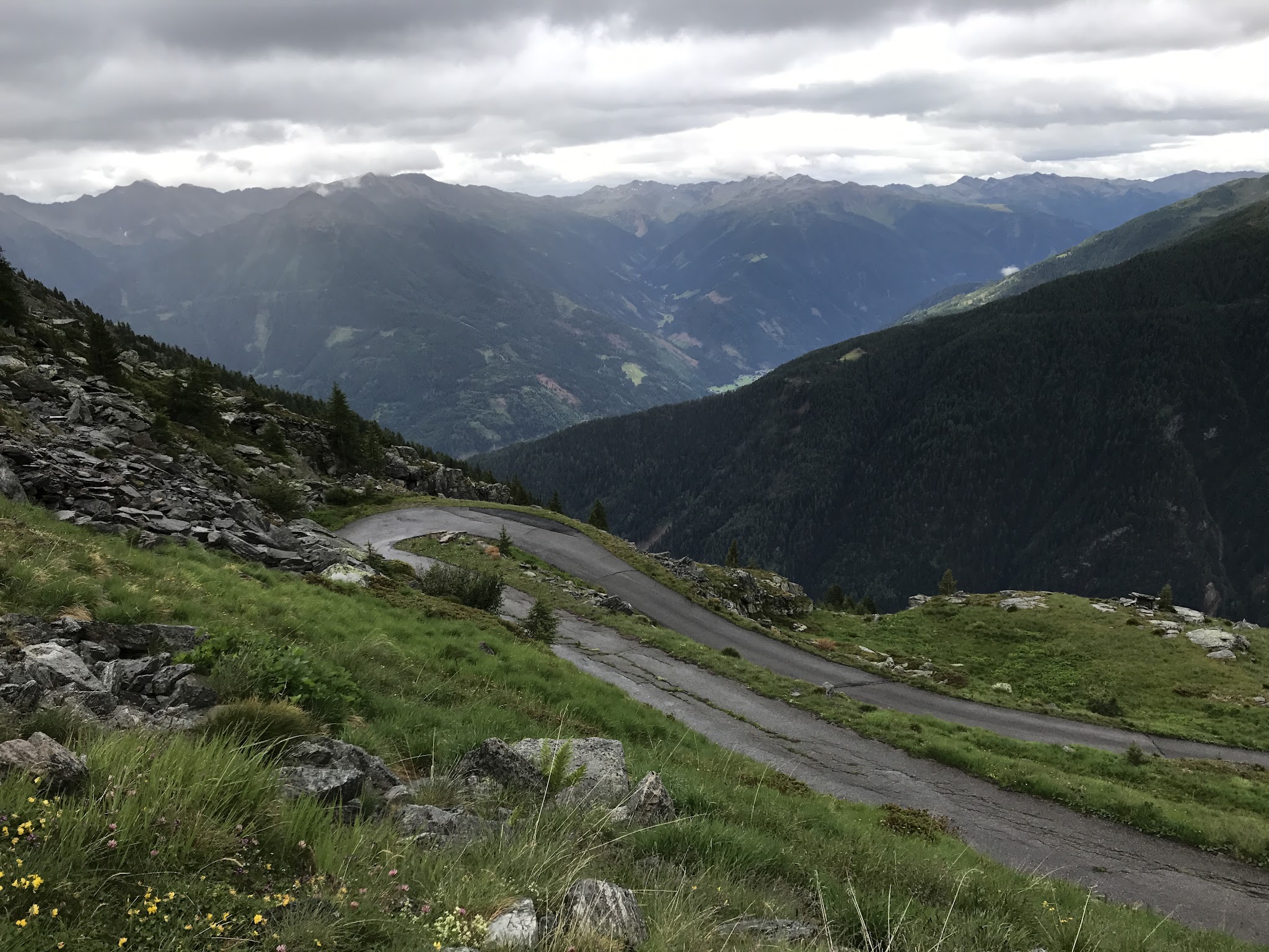
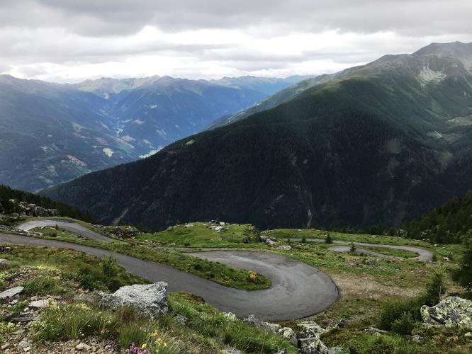
What makes it distinctive is the sheer concentration of hairpins - somewhere between 39 and 42 of them, depending on who's counting - stacked up a one-lane forest road that never really lets up. Ramps hit 18-20% in several spots, and because this is a private KELAG access road rather than a public through-route, cyclists are only exempted from the vehicle closure during set hours (May-September 9:00-20:00, October 9:00-16:00) - outside that window, expect the gate to be closed.
Traffic is essentially nonexistent; you'll likely have the whole mountain to yourself. Grosser Oscheniksee is one of the "Kärntner Monster" - a trio of brutal dead-end Carinthian climbs alongside Hochwurtenspeicher and Großsee - and by some measures it's now rated among the very hardest climbs in Austria when ridden from its full base at Außerfragant.
PLAN YOUR ROUTE
 We've partnered with Sherpa-Map.com to bring you the best route planning tool. With a PRO Membership you can use this climb as a reference when creating your route.
 11.4% average grade over the climb's 12.3 km (7.6 mi) from the Innerfragant fork. The road turns steep almost immediately and rarely relents - long stretches sit in the 12-15% range, with several ramps that hit an estimated 18%, including two exposed sections partway up that are also the most heavily graveled. Locals describe it well: when the grade eases back to 12%, it feels flat by comparison.
See more details and tools regarding this climb's grade via the "Profile Tool" button.
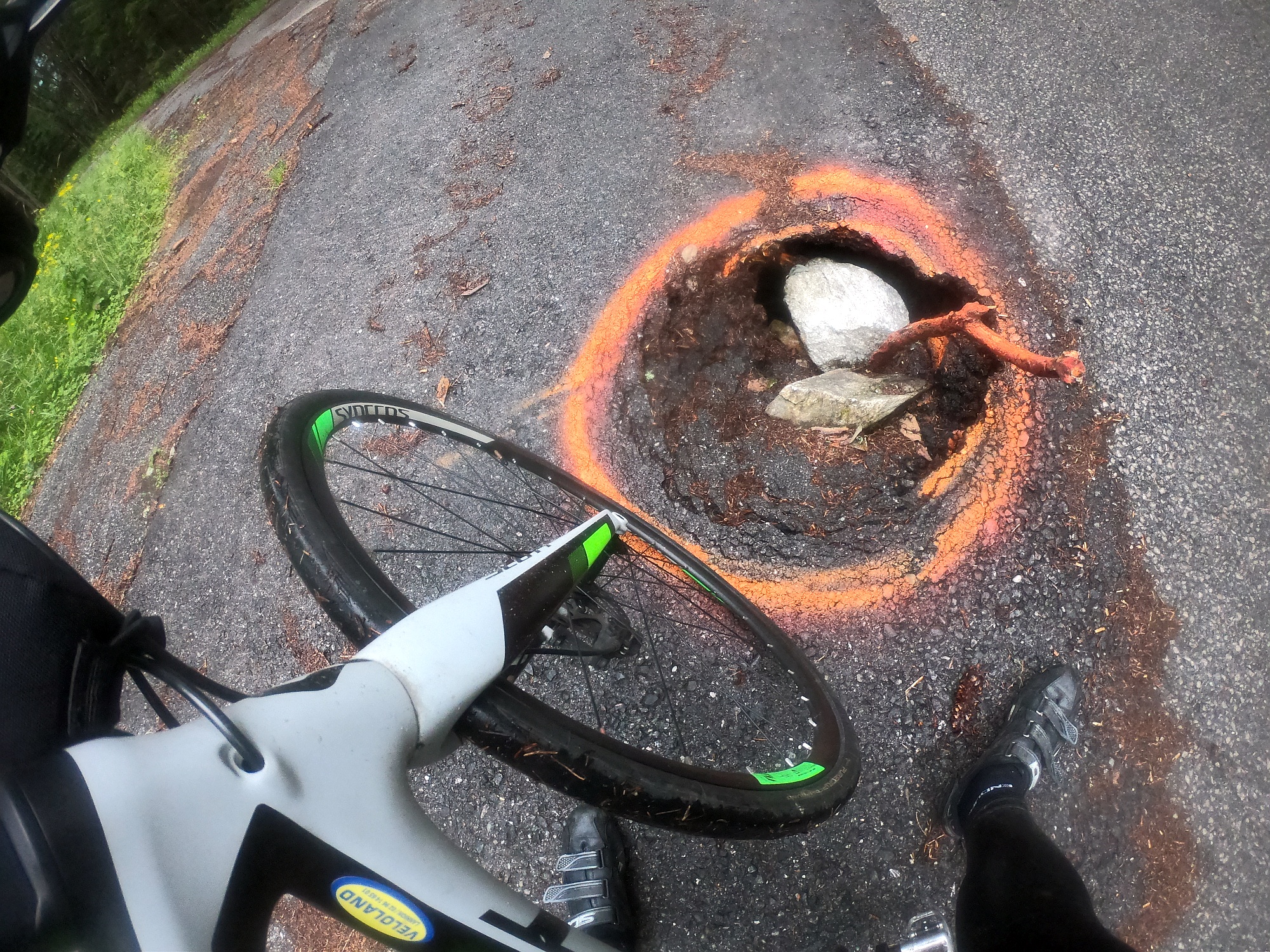
Roadway: Paved but rough in long sections - expect longitudinal ruts, potholes, and loose gravel, especially on the two steepest ~18% ramps, where the road narrows to a single lane and some sections are only partially asphalted. As of mid-2026, riders report about 2.5 km of newly repaved surface in the lower part of the climb, easing what's otherwise a technical, white-knuckle descent; resurfacing work has reportedly been ongoing for several years and is expected to continue.
Traffic: Essentially none - this is a private KELAG utility road to a reservoir, not a through-route, so the only other people you're likely to see are fellow cyclists or hikers.
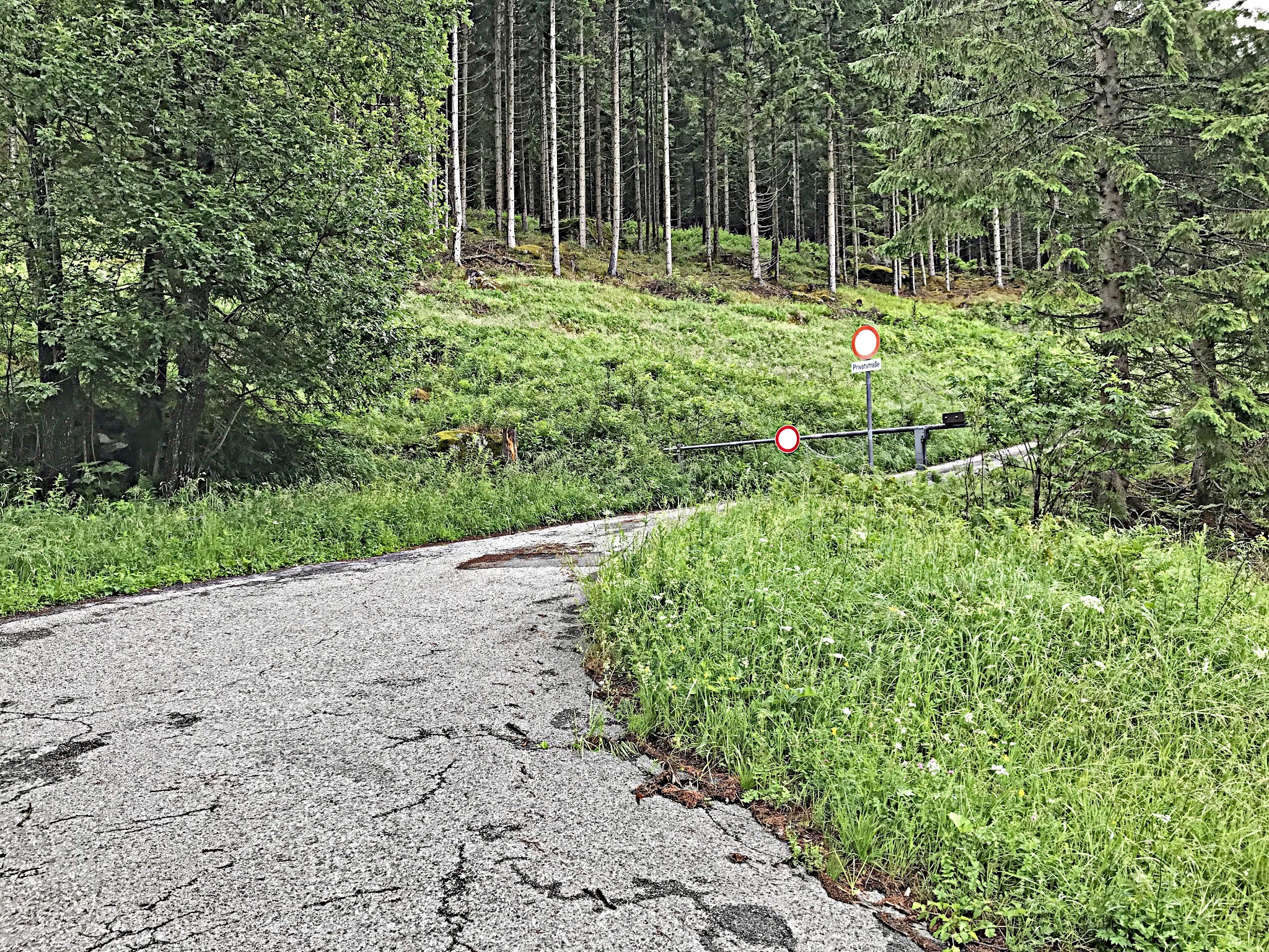
Access: The road is gated just above Innerfragant and normally closed to vehicles; cyclists are specifically exempted May-September from 9:00-20:00 and in October from 9:00-16:00. Outside those hours, expect the gate to be closed.
Parking: Park in Innerfragant village before the fork - there's no dedicated lot at the base of the climb itself.
Provisions: Nothing at all along the climb - this is a dead-end reservoir access road through remote alpine forest, so stock up in Innerfragant or Flattach before you start. There are no shops, water sources, or huts until you're back down. One consolation: several riders mention a swim in the Oscheniksee itself is a great reward at the top on a warm day.
Before heading out on any cycling adventure check out our Things to Bring on a Cycling Trip and use our interactive check list to ensure you don't forget anything.
Grosser Oscheniksee is one of the "Kärntner Monster" - three brutally steep, dead-end KELAG access roads in this corner of Carinthia, alongside Hochwurtenspeicher and Großsee. If you're making the trip out to the Fragant valley, it's worth combining with the nearby Hochwurtenspeicher climb (same valley, same fork point) for a true Kärntner Monster day, and the Grossglockner High Alpine Road is close by in the main Mölltal for a very different, much busier ride.
Because the road is gated and only open to cyclists during set hours, plan your visit around the May-September (9:00-20:00) or October (9:00-16:00) access windows.
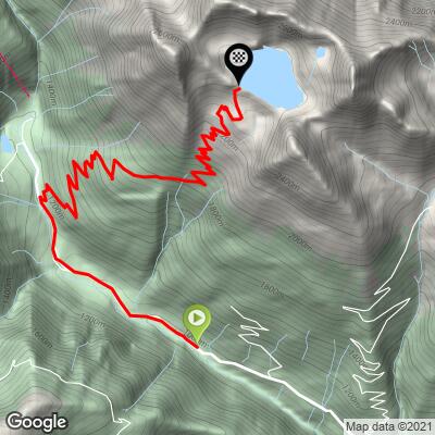
ROUTE MAP
MEMBER RATING
CURRENT WEATHER
PJAMM TRIPS ADVENTURE STARTER BUNDLES
Check out PJAMM Adventure's prepackaged (self-guided) cycling trips. They will help you plan, document and conquer your next adventure.
NEARBY CLIMBS (0) RADIAL PROXIMITY
FROM No Climbs Found
MEMBER REVIEWS & COMMENTS
Let us know what you thought of this climb. Signup for our FREE membership to write a review or post a comment.
Already have an account?
LOG IN HERE
TiesArts
One of europe's toughest climb. 10km segment >12.5% average makes you push hard to get up this 'private' mountain. In the woods very steep and when above the three line the scenery is better and mentally also (almost there). Breathtaking sceneries above and nearby the dam and lake.
Tigerwanito
A true monster climb!
(probably the most difficult I ever did... having climbed the nearby Hochwurtenspeicher right before, in poor weather conditions, didn't help)
Apart from a few 'big holes' in the road (marked with some flashy painting), the pavement was very good. I didn't see any other humain being during the whole climb. You start in the forest, and then you get open views (lots of hairpins!).