21.9
PDI
5.6 mi
DISTANCE
2,764 ft
GAINED
9.3 %
AVG. GRADE
FULL CLIMB STATS
Page Contributor(s): Ard Oostra, Switzerland.
INTRO
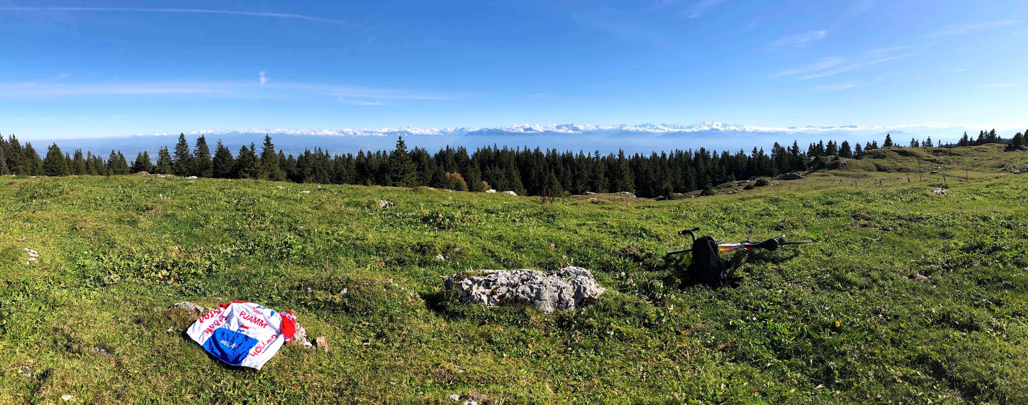
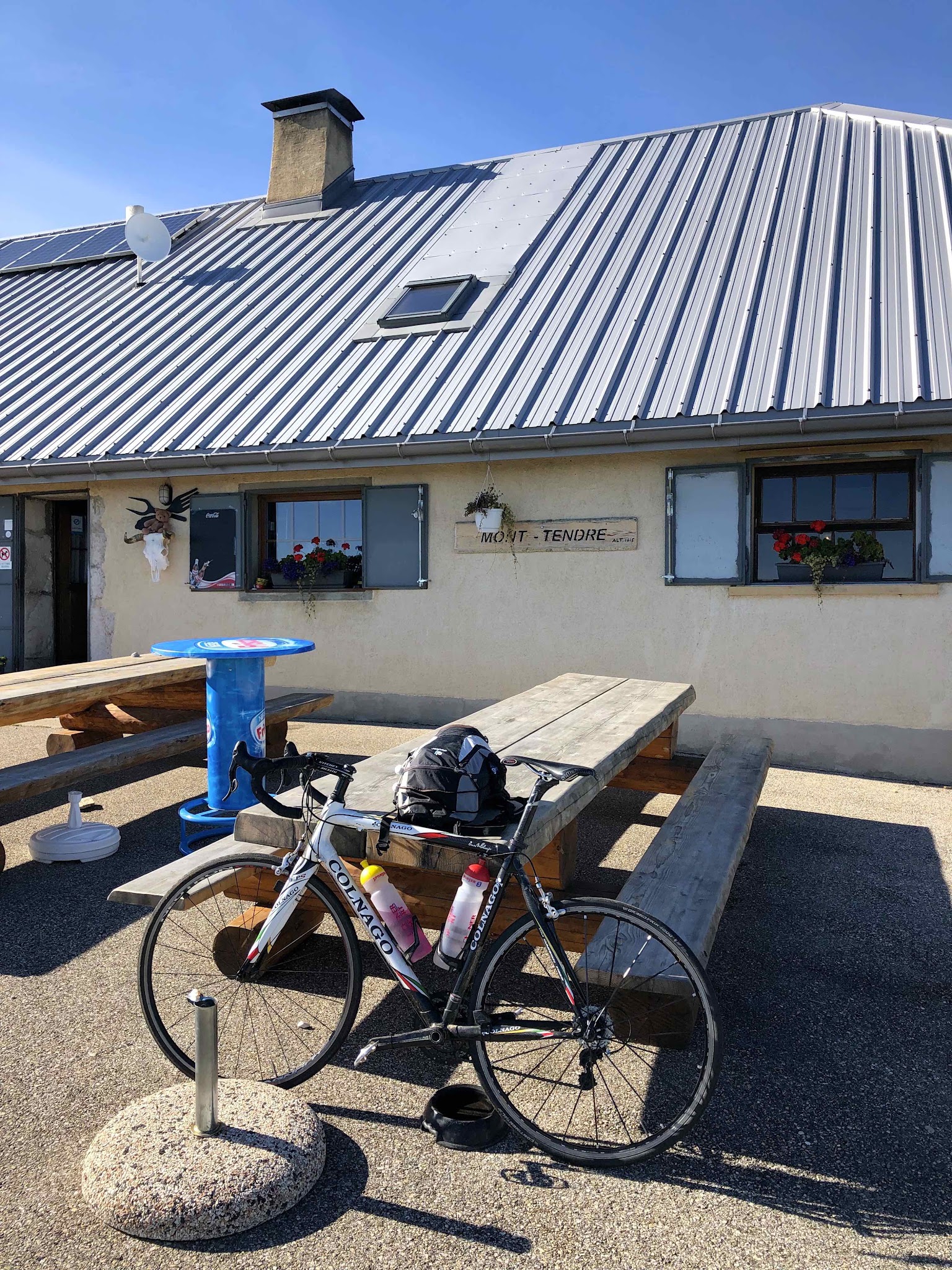
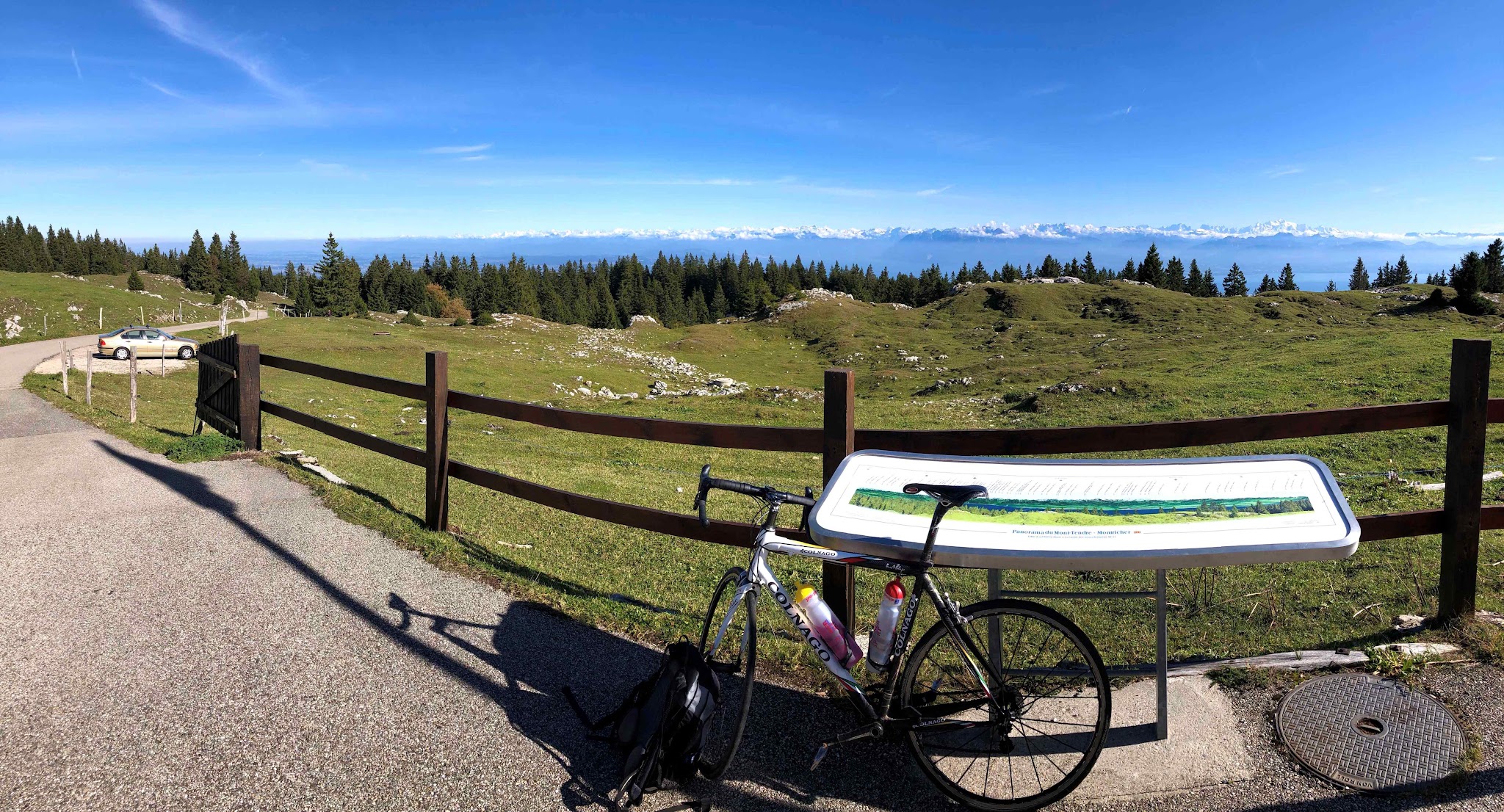
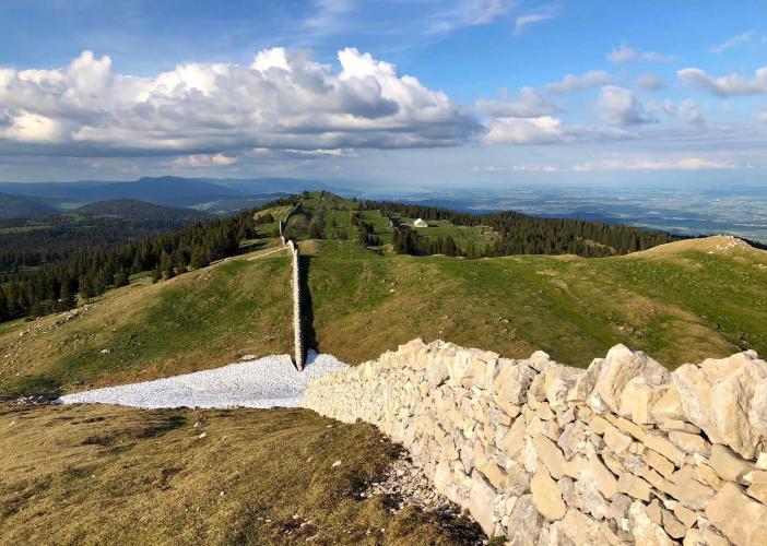
Mont Tendre is a short, steep road climb in the Swiss Jura: 9.1 km (5.6 mi) from the village of Montricher, gaining 842 m (2,764 ft) at a 9.3% average to finish at 1,612 m (5,288 ft) beside the alpine chalet just below the summit. The summit itself, at 1,679 m (5,509 ft), is the highest point in the Swiss Jura, and the paved road stops just below it at the Buvette du Mont-Tendre.
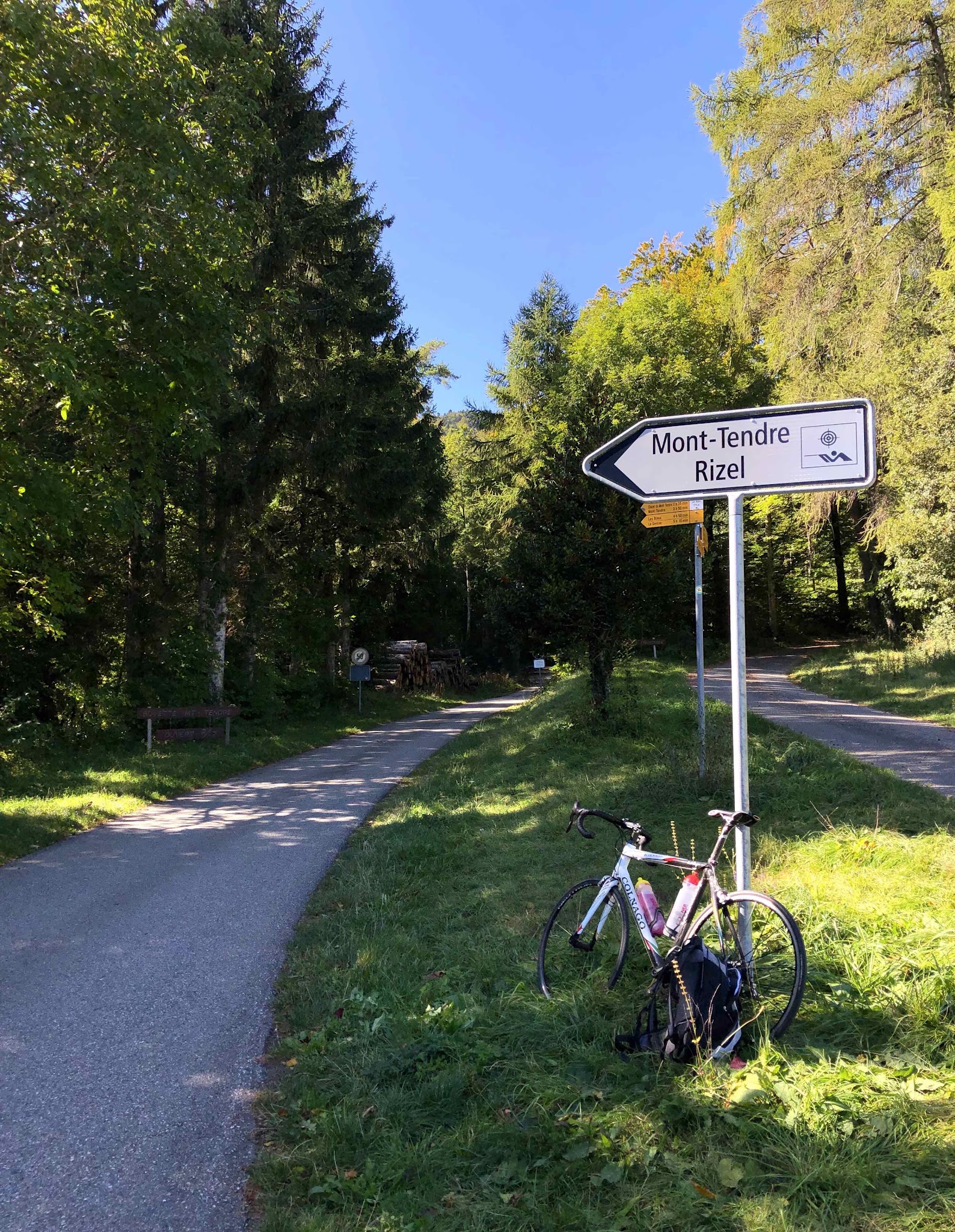
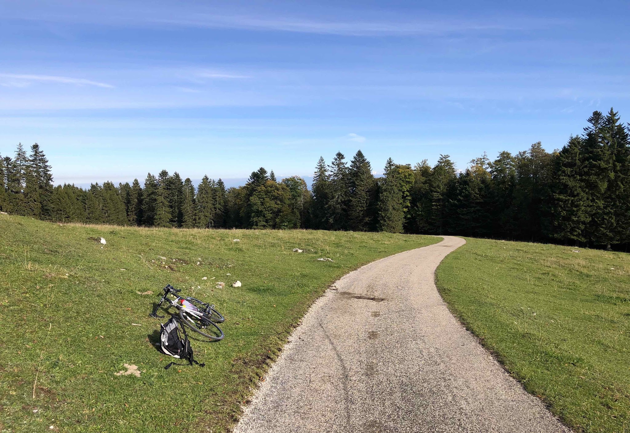
The road is a single-lane strip of asphalt that starts in the forest above Montricher and stays mostly shaded on the way up. There is very little to relax on: the steepest 5 km (3.1 mi) average 10.5%, and the final ramp up to the chalet is one of the steepest pitches of the day. Traffic is light, the surface is generally good on the lower slopes, and the upper road opens out onto Jura pasture where it gets rougher and more exposed to the weather.
The reward at the top is a working mountain buvette serving traditional meals cooked on a wood fire, which makes Mont Tendre a natural ride-then-lunch objective. In spring, snow can still block the upper road, so check conditions before an early-season attempt.
PLAN YOUR ROUTE
 We've partnered with Sherpa-Map.com to bring you the best route planning tool. With a PRO Membership you can use this climb as a reference when creating your route.
 Mont Tendre averages 9.3% over 9.1 km (5.6 mi), and unlike many climbs that hide their difficulty in one short wall, this one spreads it out. The steepest half kilometer (0.3 mi) averages 11.4%, the steepest full kilometer (0.6 mi) 10.8%, and the steepest 2 km (1.2 mi) 10.7%. Even the steepest 5 km (3.1 mi) holds 10.5%, and the steepest 8 km (5.0 mi) still averages 9.5%, so there is almost no easy road to recover on.
The steepest 100 yards (91 m) tops out at 13.7%, and the last ramp to the chalet is a punchy finish. The takeaway for pacing: start in your easiest gear and keep it steady, because from the edge of Montricher this climb is close to a continuous 10% effort.
Roadway: The Route du Mont Tendre is a narrow, single-lane paved road for its whole length. Riders describe the lower section as having good asphalt, while the upper part gets rougher and more irregular; one account notes a resurfacing in autumn 2020. Watch for stones, gravel and forest debris on the tight forested bends, especially on the descent. Snow can linger near the top in spring.
Traffic: Light. The road is open to vehicles because it serves the buvette (about a 25-minute drive from Montricher), so you may share it with the occasional car, but riders report going long stretches without seeing one.
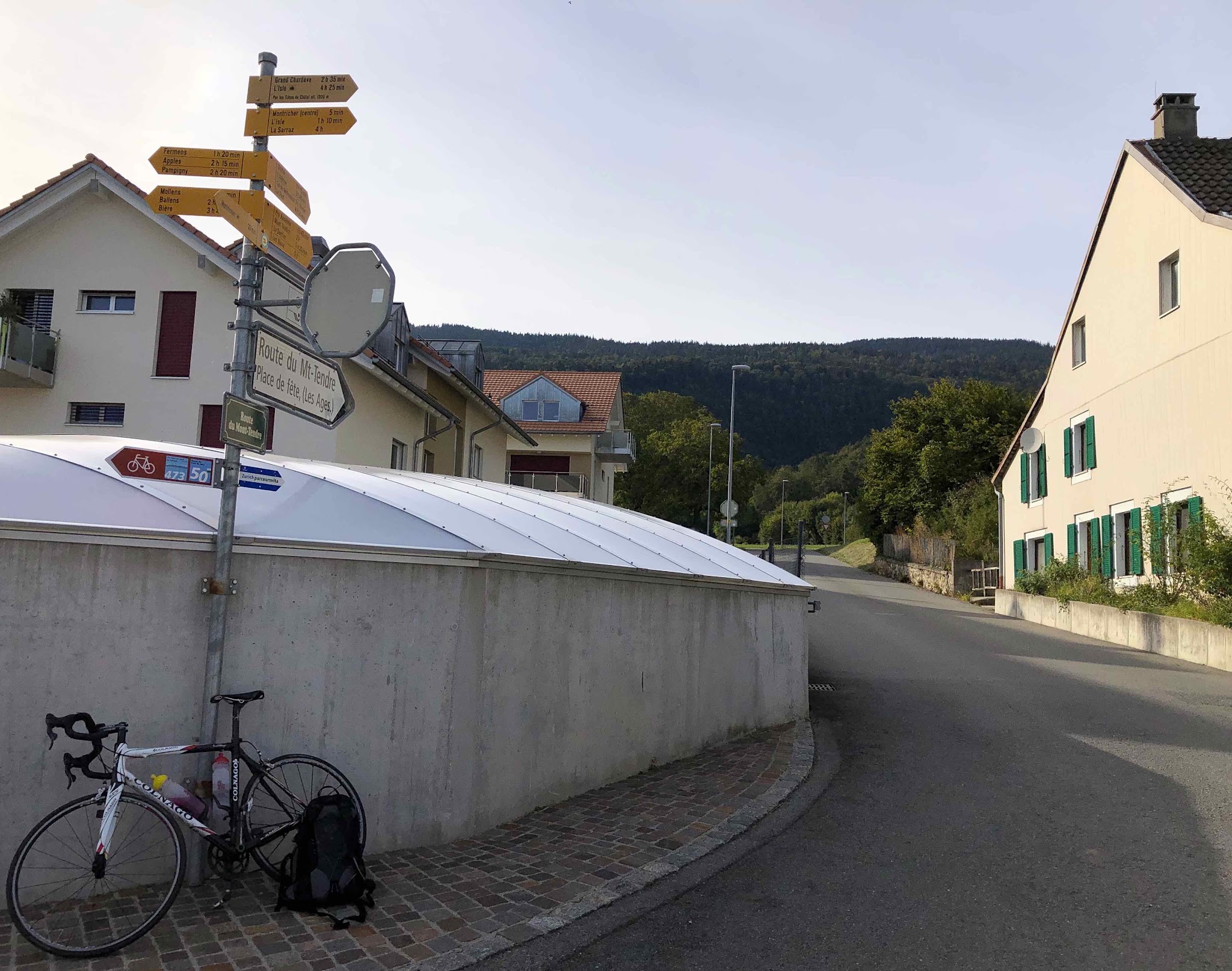
Parking: Montricher is a village of about 960 residents at 752 m (2,467 ft), so parking is informal near the start on Rue du Bourg. You can also arrive by rail: Montricher has a station on the Bière-Apples-Morges line (R57), roughly 1.5 km (0.9 mi) from the start of the climb.
Bring enough water and food for the 9.1 km (5.6 mi) ascent, but you do not need to carry a full lunch: the Buvette du Mont-Tendre at the top serves meals and drinks (it lists Tuesday to Sunday opening in season, so check its website before planning around it). Low gearing is welcome on a climb that averages close to 10% for most of its length, such as a compact crankset with a 32- or 34-tooth cassette. At about 1,615 m (5,299 ft) the top can be noticeably cooler and windier than Montricher, so pack a layer for the descent and take it slowly on the narrow, debris-prone bends.
Before heading out on any cycling adventure check out our Things to Bring on a Cycling Trip and use our interactive check list to ensure you don't forget anything.
Montricher is a small village at the foot of the Jura, and it is worth a stop beyond the climb: the Jan Michalski Foundation for Writing and Literature has a library, exhibitions and Café La Canopée, and is open Tuesday to Sunday. For a longer day, the chalet sits on the Jura ridge route (Suisse Mobile route 5, the Chemin des Crêtes du Jura), midway between the Mollendruz and Marchairuz passes, with the Vallée de Joux on the far side of the ridge.
If you are riding here as part of a Jura trip, the buvette does not take outdoor reservations because the weather at 1,615 m (5,299 ft) is unpredictable, so plan to eat indoors and call ahead on busy days. Check current conditions at the base and the top with our Weather tool before you go.
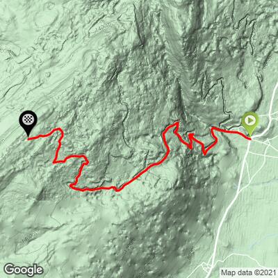
ROUTE MAP
MEMBER RATING
CURRENT WEATHER
PJAMM TRIPS ADVENTURE STARTER BUNDLES
Check out PJAMM Adventure's prepackaged (self-guided) cycling trips. They will help you plan, document and conquer your next adventure.
NEARBY CLIMBS (0) RADIAL PROXIMITY
FROM No Climbs Found
MEMBER REVIEWS & COMMENTS
Let us know what you thought of this climb. Signup for our FREE membership to write a review or post a comment.
Already have an account?
LOG IN HERE