26.2
PDI
17.1 mi
DISTANCE
4,961 ft
GAINED
4.9 %
AVG. GRADE
FULL CLIMB STATS
INTRO
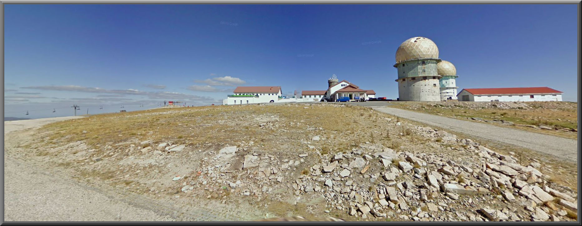
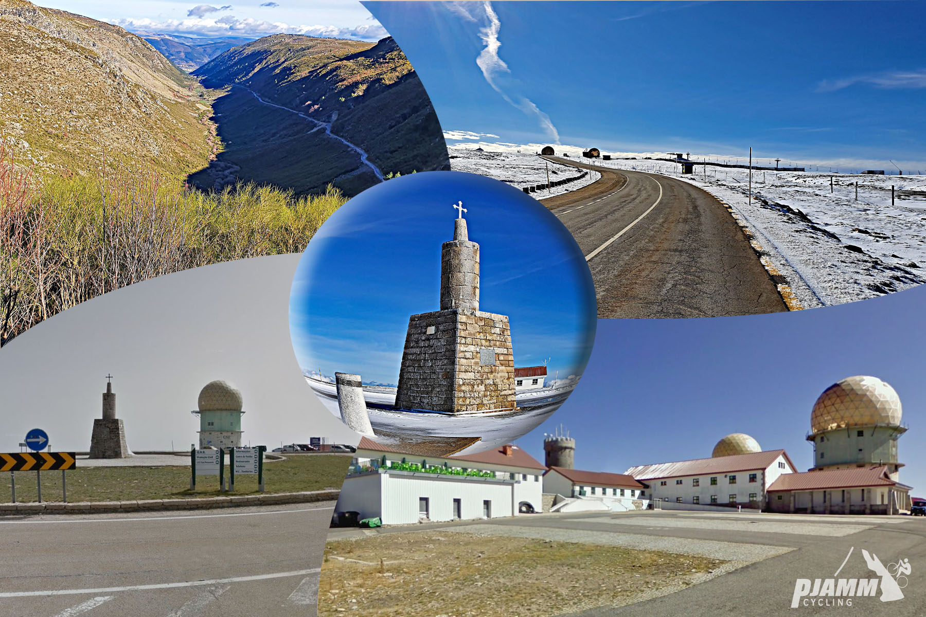
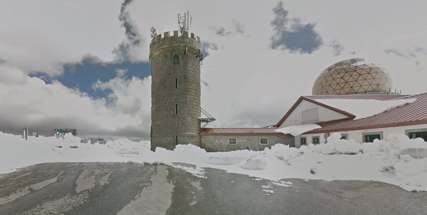
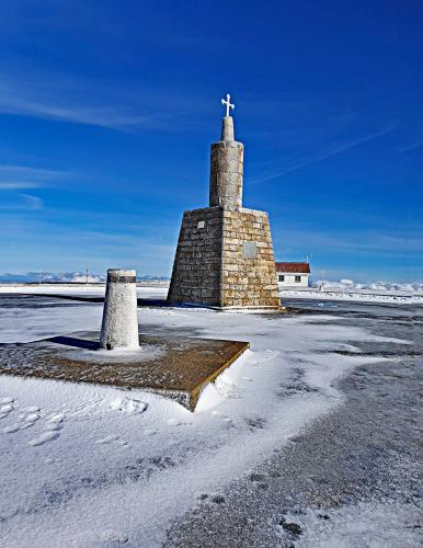
Serra de Estrela (Seia) is a 27.5 km (17.1 mi) paved climb from the town of Seia, gaining 1,512 m (4,961 ft) at a relatively gentle average grade of 4.9% on the way to the summit plateau near the Torre - the stone tower marking the highest point in mainland Portugal, built in 1817 at the direction of King Dom João VI. It's one of four paved roads that reach the top; the others start from Covilhã, Manteigas, and Unhais da Serra.
Seia bills itself as the gateway to the Serra da Estrela, and it's the historic home of the mountain's namesake cheese - Queijo Serra da Estrela, a soft raw sheep's-milk cheese that's one of Portugal's best-known. The town also runs the CISE interpretation center, a good starting point for the natural park's history, along with smaller museums dedicated to bread, toys, and electricity.
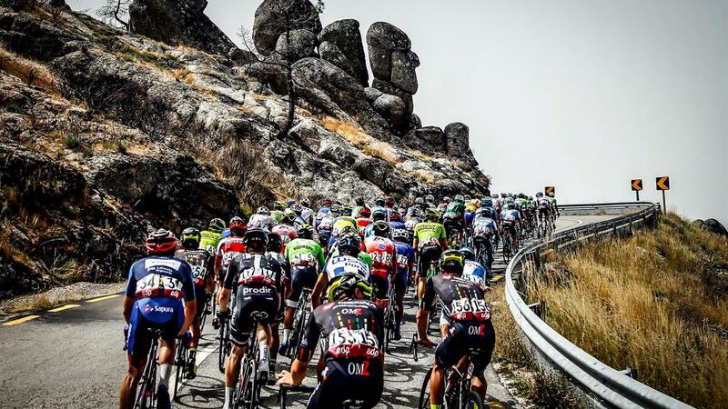
The road to the Torre has been part of the Volta a Portugal nearly every year since 1971, almost always climbed via Seia or Covilhã - see our Covilhã page for that side's most recent race history. Being the longer of the two historic race approaches, Seia's climb is a steadier, more gradual grind rather than a short, sharp fight to the summit.
PLAN YOUR ROUTE
 We've partnered with Sherpa-Map.com to bring you the best route planning tool. With a PRO Membership you can use this climb as a reference when creating your route.
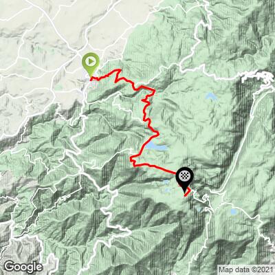
 Serra de Estrela (Seia) climbs 27.5 km (17.1 mi) from Seia to the summit plateau, gaining 1,512 m (4,961 ft) at an average grade of 4.9% - the gentlest average of the mountain's four approaches, though "gentle" is relative on a climb this long. The road starts around 653 m (2,142 ft) and finishes near 2,004 m (6,573 ft).
The grade is uneven along the way - the steepest quarter-mile touches 11.9%, and the steepest kilometer holds 10.1% - but long stretches higher up settle into a much easier grind that pulls the overall average down.
Roadway: The climb runs on the N339, described in recent accounts as good asphalt with spectacular curves, including a well-known switchback section near the top sometimes nicknamed the "Portuguese Stelvio." We found no report of an active 2026 closure on this side, though the upper road through the natural park is exposed and can close for snow outside the summer season - confirm current conditions before an early- or late-season ride.
Traffic: Traffic is moderate to heavy on summer weekends, when day-trippers drive up to the Torre from both the Seia and Covilhã sides - a weekday or early start gets you a much quieter road.
Parking: Seia is a proper town rather than a trailhead village, so there's no single designated climb-start lot - park near the town center at the base of the climb. At the top, there's a large paved parking area at the Torre summit itself, shared with the ski area in winter.
Gear: The overall grade is manageable on standard gearing, but this is a long day at altitude - budget for over 1,500 m (4,961 ft) of climbing across 27.5 km (17.1 mi), and keep a lower gear in reserve for the steeper pitches near the top, where the grade briefly touches 10-12%.
Provisions: Seia has full services at the base, including grocery stores and cafes. Once you're on the mountain, services thin out quickly, so carry enough water and food for the full climb - there's little until you reach the Torre itself.
Before heading out on any cycling adventure check out our Things to Bring on a Cycling Trip and use our interactive check list to ensure you don't forget anything.
Seia is worth a stop beyond just the climb's start line. As the self-styled gateway to the Serra da Estrela, it's the historic center of Queijo Serra da Estrela production - a soft, buttery raw sheep's-milk cheese that's one of Portugal's most famous exports - and the CISE interpretation center is a good first stop for understanding the natural park you're about to ride into.
The road to the Torre has been a fixture of the Volta a Portugal nearly every year since 1971, almost always climbed via Seia or Covilhã; see our Covilhã page for that side's most recent stage history. For other climbs in the area, our Routes in the Area tool is a good way to see what else is nearby if you're planning to ride more than one side of this mountain.
ROUTE MAP
MEMBER RATING
CURRENT WEATHER
PJAMM TRIPS ADVENTURE STARTER BUNDLES
Check out PJAMM Adventure's prepackaged (self-guided) cycling trips. They will help you plan, document and conquer your next adventure.
NEARBY CLIMBS (0) RADIAL PROXIMITY
FROM No Climbs Found
MEMBER REVIEWS & COMMENTS
Let us know what you thought of this climb. Signup for our FREE membership to write a review or post a comment.
Already have an account?
LOG IN HERE