27
PDI
12.9 mi
DISTANCE
4,407 ft
GAINED
6.4 %
AVG. GRADE
FULL CLIMB STATS
INTRO
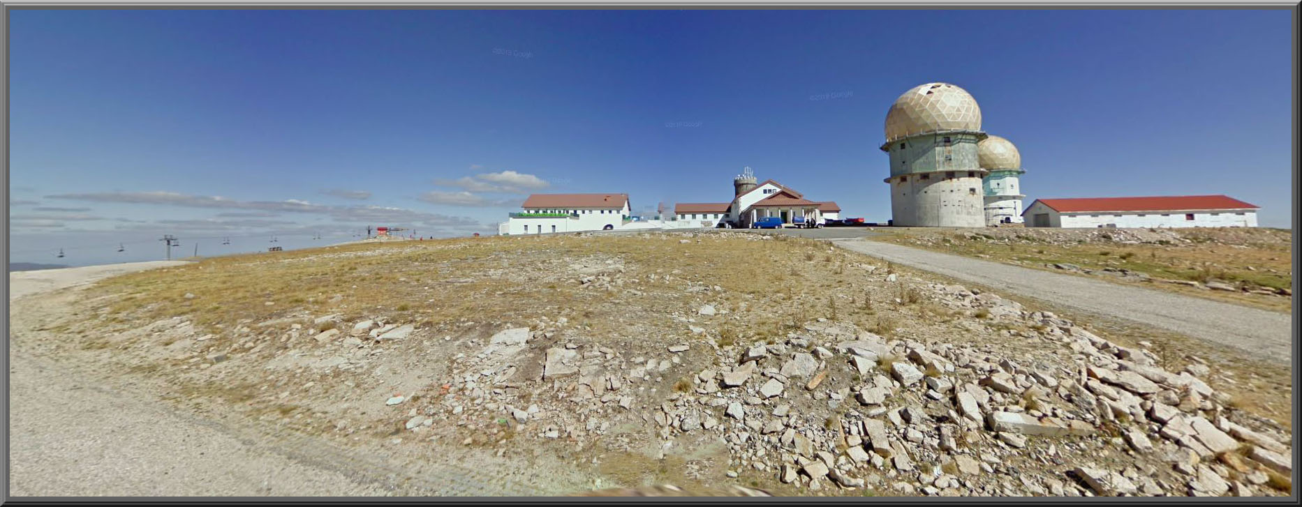
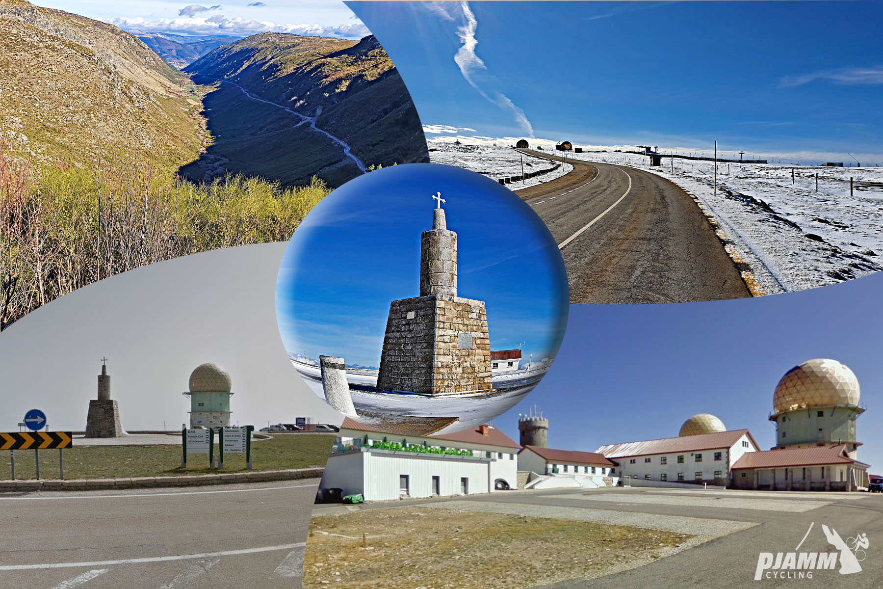
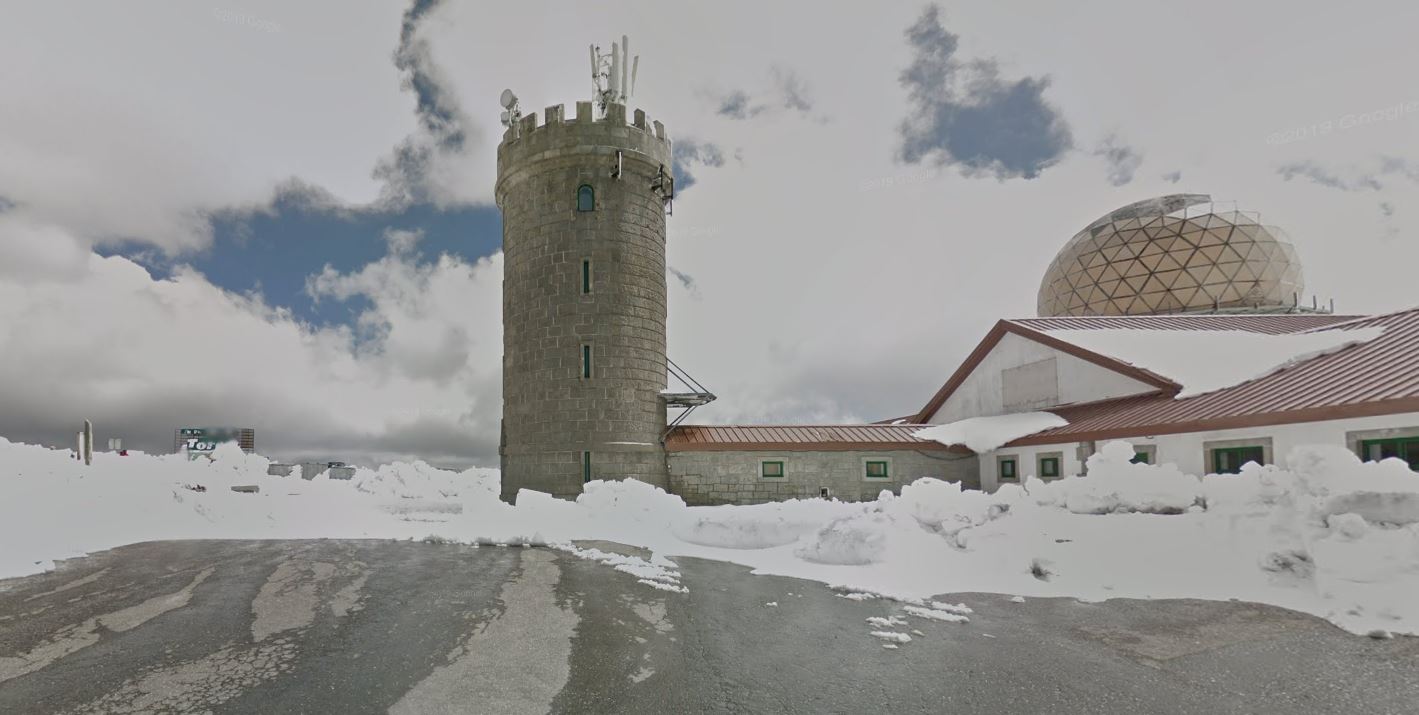
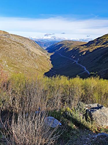
Serra da Estrela is the highest point in mainland Portugal, and this route from Unhais da Serra is the toughest of the four paved roads that reach its summit plateau and the Torre, the stone tower marking the true high point - the others start from Seia, Manteigas, and Covilhã. From Unhais da Serra the climb runs 20.8 km (12.9 mi) and gains 1343m (4,407 ft), averaging 6.4% - noticeably steeper throughout than any of the other three approaches.
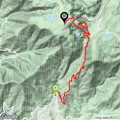
The road climbs out of Unhais da Serra's glacial valley through pine forest, crosses the high alluvial plain of Nave de Santo António, and joins the shared upper road used by the other approaches for the final push across bare granite highlands to the plateau. The steepest kilometer averages 10.0%, and the steepest mile 9.6%.
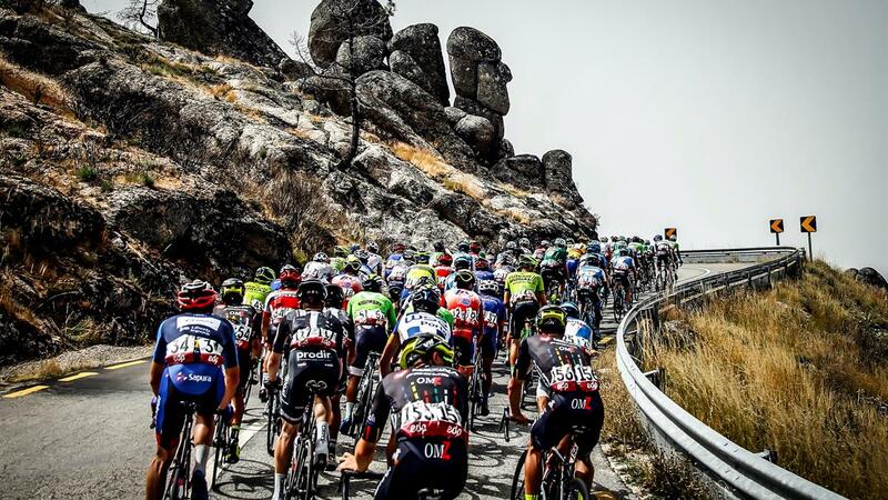
Unlike the Covilhã and Seia sides, this route isn't the one Volta a Portugal riders climb - the race has gone to the Torre nearly every year since 1971, almost always via those two towns - so Unhais da Serra sees far less race history and far less traffic, even as it delivers the hardest numbers of the four.
The Torre itself was built in 1817 at the direction of King Dom João VI, and the entire route sits within Parque Natural da Serra da Estrela, established in 2005 and, at roughly 1000 km², the largest protected natural area in Portugal. Because the summit sits at nearly 2,000 m, conditions there can be dramatically different from the valley floor - check current conditions before you go with our Weather tool.
PLAN YOUR ROUTE
 We've partnered with Sherpa-Map.com to bring you the best route planning tool. With a PRO Membership you can use this climb as a reference when creating your route.
 Serra da Estrela (Unhais da Serra) climbs 20.8 km (12.9 mi) and gains 1,343 m (4,407 ft), averaging 6.4% from about 655 m (2,150 ft) up to the Torre plateau at roughly 1,990 m (6,529 ft) - the steepest average grade of the mountain's four paved approaches.
The climb builds steadily rather than front- or back-loading its difficulty, with the steepest kilometer averaging 10.0% and the steepest mile 9.6%. There's no long easy stretch to recover on, which is the main reason this side has a harder reputation than the routes from Seia, Manteigas, or Covilhã despite a similar overall elevation gain.
Roadway: Paved the entire way, climbing out of Unhais da Serra via the N230 before joining the shared upper road system - used by all four approaches - for the final stretch across the plateau to the Torre. Like the rest of the mountain, the upper road is exposed above the treeline and can close for snow outside the summer season, so check current conditions before an early- or late-season attempt.
Traffic: Light in the lower valley out of Unhais da Serra, since this side carries far less traffic than the Covilhã or Seia approaches used by the Volta a Portugal. Traffic increases somewhat near the top as all four routes converge and tourist traffic to the Torre picks up, especially on summer weekends.
Parking: Unhais da Serra is a small spa village with straightforward on-street parking near the town center, close to the Aquadome thermal spa.
Unhais da Serra has a handful of cafes and a small grocery store for a final stop before heading up - it's a real village, not a resort strip, so don't expect much variety. There's little else along the climb itself until the shared upper road near the Torre, where a cluster of shops and cafes serve summit visitors. Carry enough water and food for the full climb, since this is the longest stretch without services of any of the four approaches.
Before heading out on any cycling adventure check out our Things to Bring on a Cycling Trip and use our interactive check list to ensure you don't forget anything.
Unhais da Serra's own claim to fame is the Aquadome Termas de Unhais da Serra, billed as Portugal's first mountain spa - a large wellness complex built around the village's natural mineral springs, traditionally used for respiratory and rheumatic treatments. It's a genuinely good way to recover after 1,343 m (4,407 ft) of climbing, and a different amenity than the thermal spa on the Manteigas side of the mountain, which draws from a separate spring.
Because this side isn't part of the Volta a Portugal's usual route to the Torre, Unhais da Serra stays quieter than Covilhã or Seia even during race season - a reasonable choice if you'd rather ride the mountain's hardest side without the crowds those two towns see. Riders based here can also reach the other three approaches, along with the Poço do Inferno waterfall and Zêzere glacial valley on the Manteigas side, within an hour's drive.
ROUTE MAP
MEMBER RATING
CURRENT WEATHER
PJAMM TRIPS ADVENTURE STARTER BUNDLES
Check out PJAMM Adventure's prepackaged (self-guided) cycling trips. They will help you plan, document and conquer your next adventure.
NEARBY CLIMBS (0) RADIAL PROXIMITY
FROM No Climbs Found
MEMBER REVIEWS & COMMENTS
Let us know what you thought of this climb. Signup for our FREE membership to write a review or post a comment.
Already have an account?
LOG IN HERE