27.5
PDI
13 mi
DISTANCE
4,602 ft
GAINED
5.8 %
AVG. GRADE
FULL CLIMB STATS
Page Contributor(s): Heiko Linnert, Amberg, Germany.
INTRO
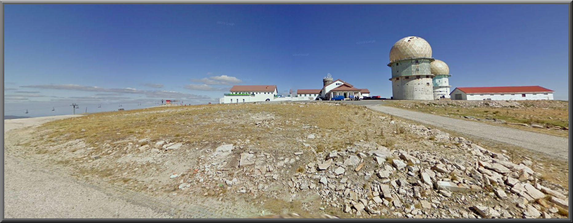
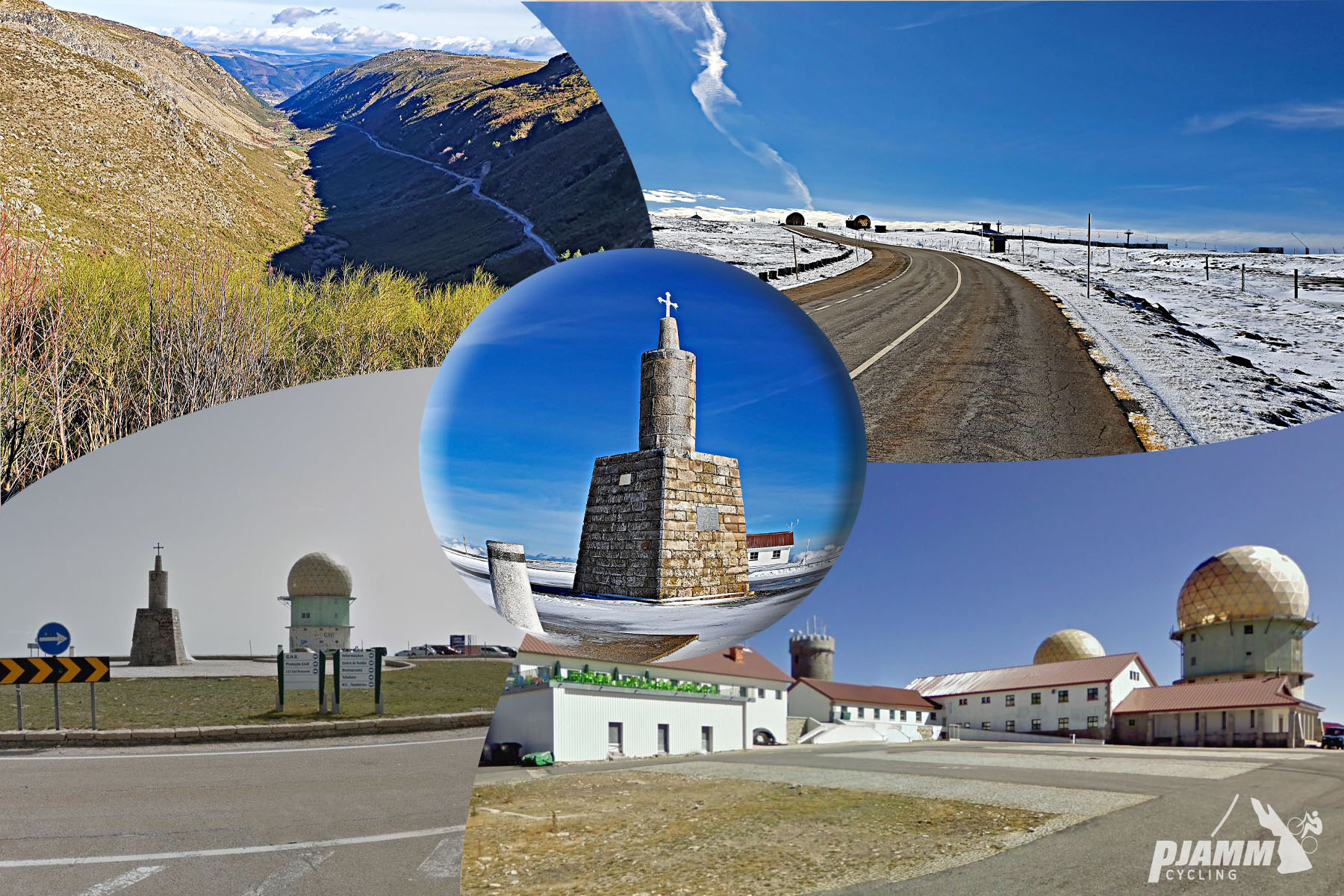
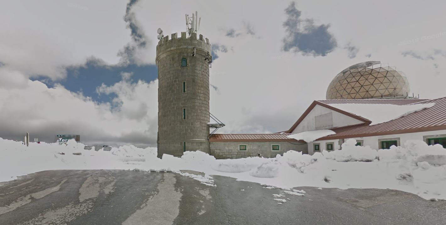
Serra da Estrela is the highest point in mainland Portugal, and this route climbs to its summit plateau directly from Manteigas, a spa town tucked into the glacially-carved Zêzere valley on the range's northeastern flank. From Manteigas the climb runs 21.0 km (13.0 mi) and gains 1,403 m (4,602 ft), averaging 5.8% - one of four paved roads that reach the Torre, the stone tower marking the true summit at 1,991 m (6,529 ft); the others start from Seia, Covilhã, and Unhais da Serra.
The Manteigas side is arguably the most scenic of the four approaches. The road (N338) climbs out of town along the U-shaped Zêzere glacial valley, one of the best-preserved examples of glacial carving on the Iberian Peninsula, passing near the Poço do Inferno waterfall and the high alluvial plain of Nave de Santo António (about 1,550 m) before breaking above the treeline for the final push to the plateau. The steepest kilometer averages 13.1%, but the climb settles into a long, rolling grind above that rather than a steady grind.
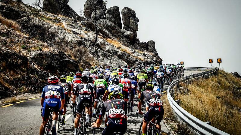
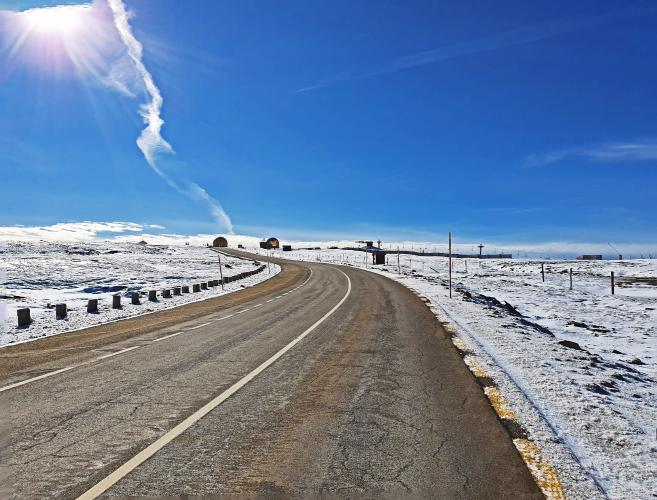
Torre has been a fixture of the Volta a Portugal since 1971, though the race almost always summits via Covilhã or Seia rather than this side. The stone tower at the top was built in 1817 under King Dom João VI, and the entire route sits inside Parque Natural da Serra da Estrela, Portugal's largest protected natural area at roughly 1,000 km². Above the treeline the N338 is exposed and closes for snow in winter - it was shut to traffic as recently as January 2026 - so check current conditions before riding outside summer.
PLAN YOUR ROUTE
 We've partnered with Sherpa-Map.com to bring you the best route planning tool. With a PRO Membership you can use this climb as a reference when creating your route.
 The average grade from Manteigas to the Torre is 5.8% over 21.0 km (13.0 mi). It's a rolling climb rather than a steady grind: the steepest kilometer averages 13.1%, the steepest 2 km settles to 10.3%, and the steepest 5 km comes in at 7.6% - the hardest pitches are short and offset by easier stretches, especially through the Zêzere valley floor near the start. The final kilometers above Nave de Santo António open onto exposed, wind-swept plateau riding with far-reaching views back down the glacial valley.
Roadway: The N338 is paved the entire way from Manteigas to the Torre, climbing out of town along the Zêzere glacial valley before breaking above treeline for the final approach to the summit plateau. The exposed upper section closes for snow in winter - it was shut to traffic as recently as January 2026 - so check current road conditions before heading up outside summer.
Traffic: Traffic is light on the lower valley road through town, picking up somewhat near the Caldas de Manteigas thermal-spa turnoff. Above treeline, the road sees noticeably more car traffic on summer weekends, when day-trippers drive up to the Torre for the view - a weekday or early start keeps the upper switchbacks quieter.
Parking: Manteigas is a small town built along the valley floor, so there's no dedicated climb-start lot - park along the main street near the town center, or near the Caldas de Manteigas thermal baths at the southern edge of town, right where the climb begins in earnest.
Manteigas has grocery stores, cafes, and a handful of guesthouses at the base of the climb, but services thin out fast once you leave town for the valley road - carry the food and water you'll need for the climb itself. At the top, the Torre plateau has its own cluster of souvenir shops and a small café inside the Centro Comercial da Torre building, along with kiosks selling local Serra da Estrela cheese and smoked meats, so a warm layer is worth carrying even in summer - temperatures at 1,991 m (6,529 ft) run noticeably cooler than in the valley.
Before heading out on any cycling adventure check out our Things to Bring on a Cycling Trip and use our interactive check list to ensure you don't forget anything.
Manteigas' thermal spa, the Termas de Manteigas (also known as Caldas de Manteigas), sits along the climb's lower slopes and makes a genuinely good post-ride stop - the mineral water is drawn from 60 m underground at a natural 48°C and is traditionally used to treat rheumatic and respiratory conditions, a fitting reward after 1,403 m (4,602 ft) of climbing.
The Zêzere glacial valley the road follows out of town is one of the best-preserved U-shaped glacial valleys on the Iberian Peninsula, and if you have an extra hour, the Poço do Inferno waterfall - a short detour off the main road - is worth the stop for its granite gorge and cascade.
In winter, the plateau above Manteigas becomes home to Portugal's only ski resort, so this same road doubles as the access route for skiers between roughly December and April - one more reason the upper N338 closes on short notice when snow moves in. Conditions at the Torre are consistently colder and windier than in the valley below, so check current conditions before you go with our Weather tool.
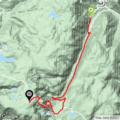
ROUTE MAP
MEMBER RATING
CURRENT WEATHER
PJAMM TRIPS ADVENTURE STARTER BUNDLES
Check out PJAMM Adventure's prepackaged (self-guided) cycling trips. They will help you plan, document and conquer your next adventure.
NEARBY CLIMBS (0) RADIAL PROXIMITY
FROM No Climbs Found
MEMBER REVIEWS & COMMENTS
Let us know what you thought of this climb. Signup for our FREE membership to write a review or post a comment.
Already have an account?
LOG IN HERE