30.2
PDI
12.7 mi
DISTANCE
4,790 ft
GAINED
6.4 %
AVG. GRADE
FULL CLIMB STATS
INTRO
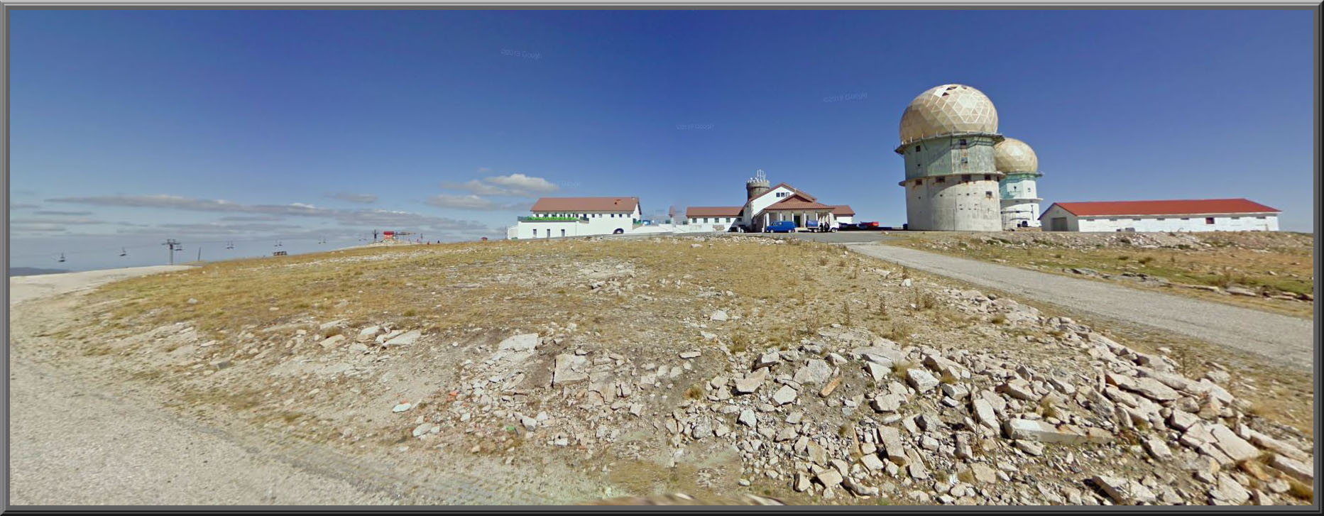
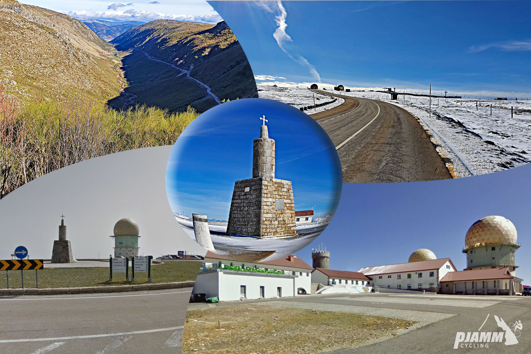
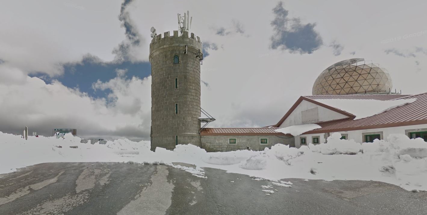
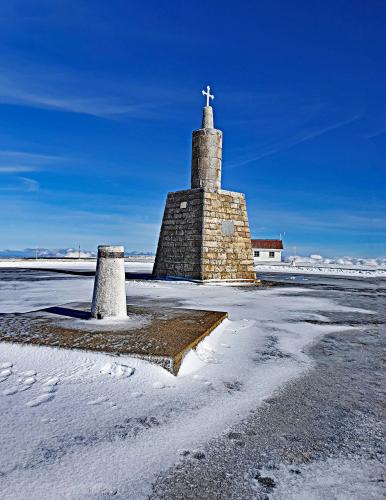
Serra da Estrela is the highest point in mainland Portugal, and this route from Covilhã is one of four paved roads that reach its summit plateau and the Torre (the stone tower marking the true high point) - the others start from Seia, Manteigas, and Unhais da Serra. From Covilhã, the climb runs 12.7 miles and gains 4,790', averaging 6.4% but with real variation along the way - the steepest quarter mile touches 20.5%, while long stretches higher up settle into a much gentler grind.
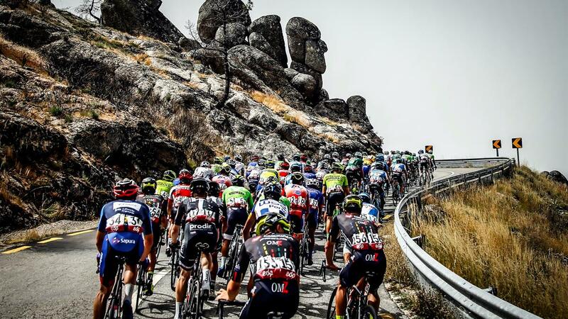
This is one of the roads Volta a Portugal riders know well. The race has climbed to the Torre nearly every year since 1971, almost always by way of either Covilhã or Seia, and the 2026 edition finished Stage 4 at the Torre via this exact route on August 9, 2026, after roughly 1,500 meters of cumulative climbing on the final ascent alone.
The Torre itself was built in 1817 at the direction of King Dom João VI, and the entire route sits within Parque Natural da Serra da Estrela - established in 2005 and, at roughly 1,000 square kilometers, the largest protected natural area in Portugal. Covilhã, the climb's starting point, has its own history worth knowing: nicknamed the "Portuguese Manchester" for centuries of wool and textile production, it's now also home to the University of Beira Interior.
PLAN YOUR ROUTE
 We've partnered with Sherpa-Map.com to bring you the best route planning tool. With a PRO Membership you can use this climb as a reference when creating your route.
 Average grade is 6.4%. The steepest quarter mile is a sharp 20.5%, but that's a short outlier - the steepest full mile averages a more moderate 11.1%, and the steepest 5-mile stretch is just 8.0%. This is a long, rolling climb rather than a steady grind, so expect real variation in pitch throughout.
See more details and tools regarding this climb's grade via the "Profile Tool" button.
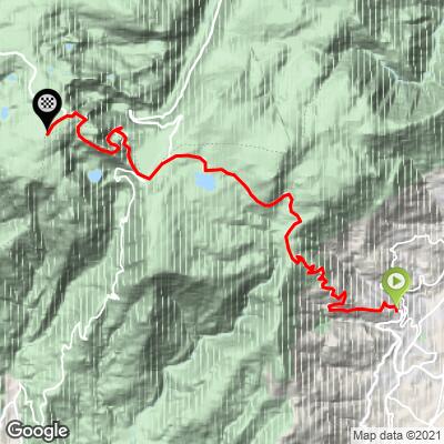
Roadway: The route runs largely paved via N230, then Nave de Santo António, N339, and Estrada da Torre, but includes a roughly 1.1-mile (1.8 km) unpaved/gravel section around the midpoint - manageable on a road bike, but worth knowing about beforehand. Above treeline, winter weather can also affect conditions; the N339 corridor through the park has closed for snow as recently as December 2025, so check current conditions before heading up outside summer.
Traffic: The N339 sees noticeably more car traffic on summer weekends, when day-trippers drive up to the Torre - ride on a weekday or early in the day if you want the road to yourself.
Parking: Covilhã is a full-sized city rather than a trailhead town, so there's no single designated climb-start lot - park in the city center near the base of the climb on the Serra da Estrela side, and expect to share the road with local city traffic before the climb proper begins.
Covilhã is a full city with everything a cyclist needs - bike shops, hotels, and grocery stores - right at the base of the climb, and it's home to the University of Beira Interior, so it has more year-round infrastructure than most Portuguese mountain-climb towns. Services thin out fast once you leave the city, though - carry the food and water you need, since there's little available again until you're near the Torre area at the top. Given the gravel stretch partway up, wider road-bike tires (28mm or more) are worth considering over a fully race-oriented setup.
Before heading out on any cycling adventure check out our Things to Bring on a Cycling Trip and use our interactive check list to ensure you don't forget anything.
Before heading out on any cycling adventure check out our Things to Bring on a Cycling Trip and use our interactive check list to ensure you don't forget anything.
Covilhã's own history is worth a stop before or after the ride - it's nicknamed the "Portuguese Manchester" for its centuries-old wool and textile industry, and the Museu de Lanifícios (Wool Museum), housed in a former royal textile factory, tells that story inside the same water-powered buildings that once ran it.
This is also one of the roads Volta a Portugal riders know well: the race has climbed to the Torre nearly every year since 1971, almost always via Covilhã or Seia, and the 2026 edition finished Stage 4 at the Torre by way of this exact route on August 9, 2026.
The Torre sits at nearly 6,500', so conditions at the summit can be dramatically different from Covilhã's valley floor - check current conditions before you go with our Weather tool.
ROUTE MAP
MEMBER RATING
CURRENT WEATHER
PJAMM TRIPS ADVENTURE STARTER BUNDLES
Check out PJAMM Adventure's prepackaged (self-guided) cycling trips. They will help you plan, document and conquer your next adventure.
NEARBY CLIMBS (0) RADIAL PROXIMITY
FROM No Climbs Found
MEMBER REVIEWS & COMMENTS
Let us know what you thought of this climb. Signup for our FREE membership to write a review or post a comment.
Already have an account?
LOG IN HERE