19.3
PDI
14.2 mi
DISTANCE
3,734 ft
GAINED
4.9 %
AVG. GRADE
FULL CLIMB STATS
Page Contributor(s): Patrick Morris, San Francisco, CA, USA - veloasia.com and indochinatravel.com
INTRO
This is the southern approach to the Transfăgărășan, the DN7C highway that crosses Romania's Făgăraș Mountains between Wallachia and Transylvania. It covers 22.8 km (14.2 mi) and gains 1,138 m (3,734 ft) at a 4.9% average, from 892 m (2,927 ft) in the upper Argeș valley above Lake Vidraru to about 1,999 m (6,557 ft) at the southern portal of the Bâlea Tunnel, the road's highest point.
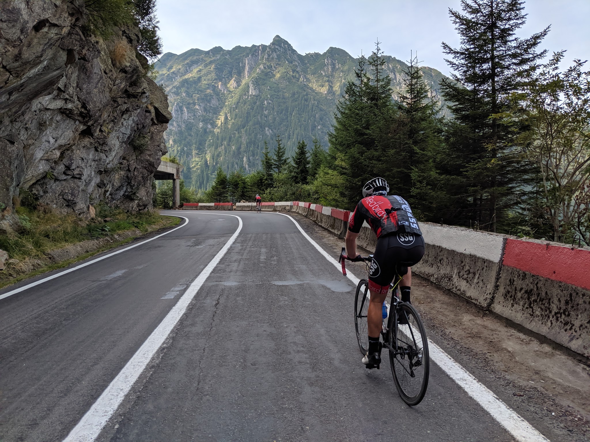
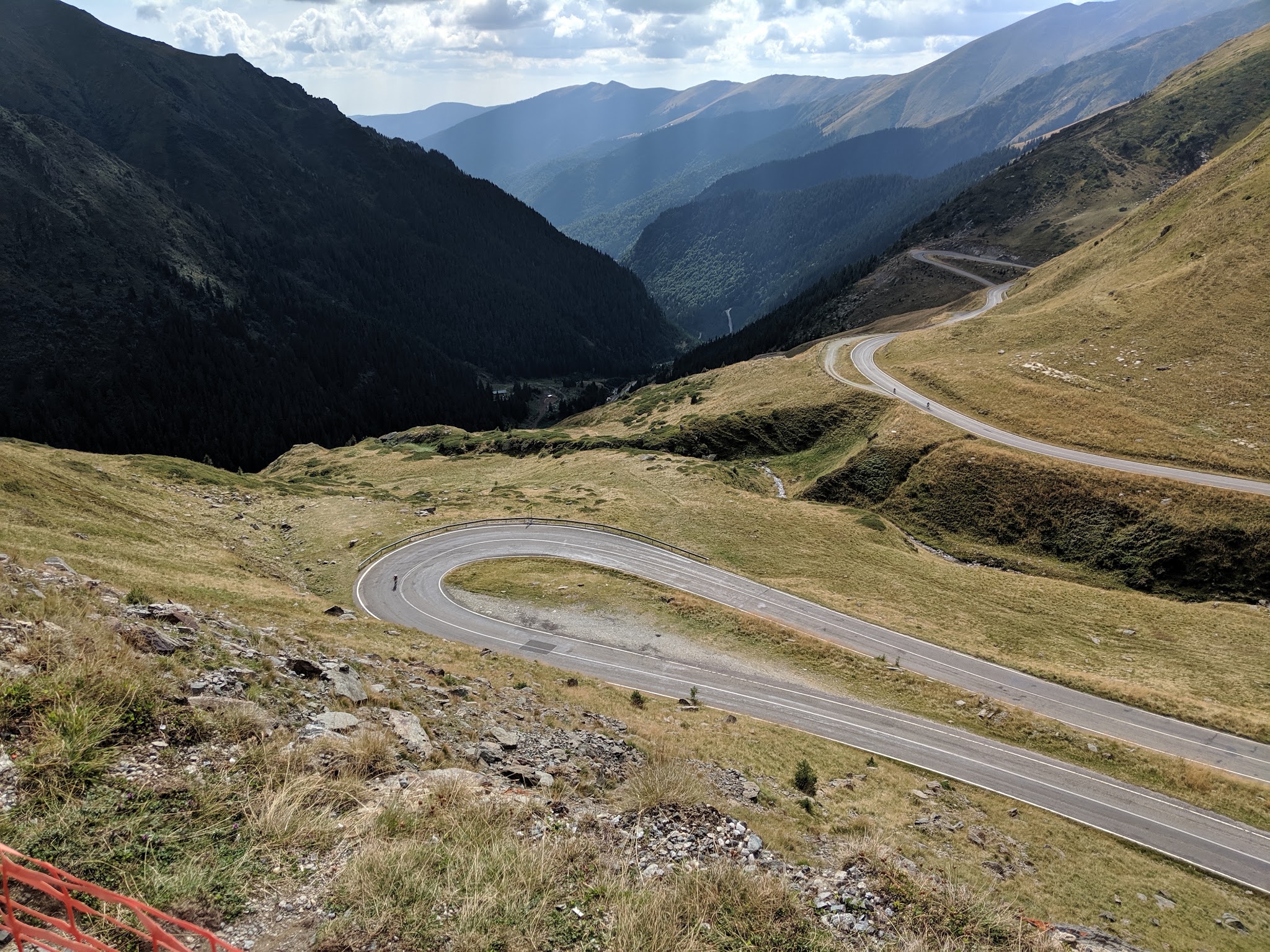
It's a climb in two halves. The first 10 km follow the Argeș river upstream through forest at a gentle 2-4%, a long, quiet warm-up past a string of lodges. Around Piscu Negru the character changes completely: the road leaves the valley floor and climbs about 800 m (2,600 ft) in the last 12-13 km at around 6.5%, winding past Cabana Capra and up through a series of switchbacks above the treeline toward the bare main ridge of the Făgăraș. The steepest kilometer averages 9.9%.
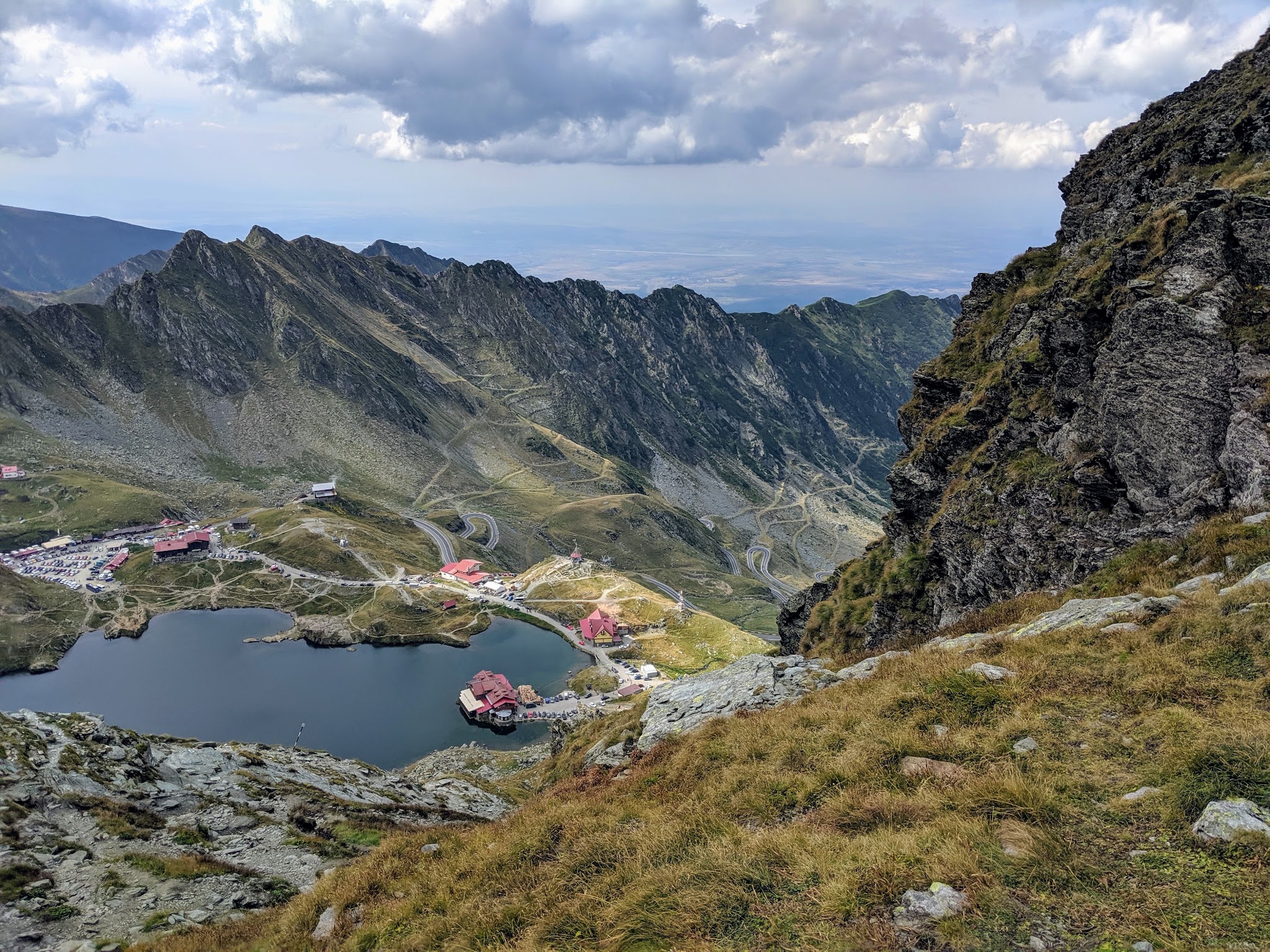
From the finish, the 884 m Bâlea Tunnel - the longest road tunnel in Romania - carries the highway through the ridge to Bâlea Lake and the descent toward Sibiu, which is covered on our Pasul Bâlea (Transfagarasan North) page. Built in the early 1970s as a strategic military road, the Transfăgărășan is one of Europe's great bucket-list rides.
PLAN YOUR ROUTE
 We've partnered with Sherpa-Map.com to bring you the best route planning tool. With a PRO Membership you can use this climb as a reference when creating your route.
The climb covers 22.8 km (14.2 mi) with 1,138 m (3,734 ft) of gain at a 4.9% average, but that average blends two very different sections. The first 10 km gain only about 280 m (920 ft), averaging roughly 3% as the road follows the Argeș valley upstream.
The real climbing starts near Piscu Negru, around 10.5 km in. From there to the tunnel the road climbs about 800 m (2,600 ft) at around 6.5%, with most kilometers between 5% and 8% and the steepest kilometer averaging 9.9%. The steepest mile averages 8.4%, the steepest 5 km (3.1 mi) 7.6% and the steepest 10 km (6.2 mi) 6.6%. The gradient is steady rather than savage, and the challenge is the altitude and the weather near 2,000 m (6,562 ft).
Roadway: Paved the whole way, on a well-engineered mountain highway. The alpine section from Piscu Negru (km 104) to Bâlea Cascadă on the north side (km 130.8) closes every winter and usually reopens in June or early July - in 2026 it reopened on June 12, with traffic allowed daily from 07:00 to 21:00. It can close temporarily for bad weather even in summer, and it typically shuts again in late October or November, so check the CNAIR traffic updates before you go. Bring lights if you plan to ride through the Bâlea Tunnel at the top.
Traffic: The valley section is quiet midweek, but the whole road gets busy with cars, motorcycles and tour buses on summer weekends, and traffic thickens toward the tunnel. Bears are a real presence on this side - they're often seen near the roadway, especially around Lake Vidraru, because tourists feed them. Feeding them is illegal and dangerous; if one is on the road ahead, wait and pass alongside a vehicle rather than riding by alone.
Parking: There's no village at the start - the climb begins on the open highway north of the lake - so the practical approach is to stay at one of the lodges or hotels in the upper Argeș valley or around Lake Vidraru and ride to the start, rather than counting on a formal car park. Piscu Negru, about halfway up, is a natural place to meet a support car before the alpine section.
Provisions: The valley section passes several lodges and hotels, and Cabana Capra, roughly 10 km below the tunnel, is the last reliable stop on the way up. Bâlea Lake, just through the tunnel on the north side, has a chalet, restaurant and vendor stalls. Fill up before you leave the valley and treat anything higher as a bonus.
Gear: Standard road gearing works on these steady grades, though a compact crankset makes the last 12 km easier at altitude. Pack a real jacket and full-finger gloves: the finish is close to 2,000 m (6,562 ft), well above the treeline, and it can be cold, wet and windy there even in July. Bring front and rear lights for the tunnel.
Before heading out on any cycling adventure check out our Things to Bring on a Cycling Trip and use our interactive check list to ensure you don't forget anything.
The south side of the Transfăgărășan has history of its own below the start. Lake Vidraru is held back by the Vidraru Dam, the biggest dam in Romania, with a road across its crest and lake cruises from the hotels nearby. Just downstream, Poenari Fortress - the cliff-top castle associated with Vlad the Impaler, the real figure behind the Dracula legend - is visible from the road between the dam and Arefu, and Curtea de Argeș, where the highway ends, has the monastery where members of Romania's royal family are buried.
For a base, the lodges along the valley and around the lake put you closest to the climb, including the Piscu Negru hotel, Conacul Ursului and Cabana Capra, with larger four-star hotels near the dam; Curtea de Argeș has the widest choice. Riding the north side as well makes a classic two-day crossing - Bâlea Lake, its cable car, the winter ice hotel and the Sibiu side are all covered on our Pasul Bâlea page. The finish is high and exposed, so check current conditions before you go with our Weather tool.
ROUTE MAP

MEMBER RATING
CURRENT WEATHER
PJAMM TRIPS ADVENTURE STARTER BUNDLES
Check out PJAMM Adventure's prepackaged (self-guided) cycling trips. They will help you plan, document and conquer your next adventure.
NEARBY CLIMBS (0) RADIAL PROXIMITY
FROM No Climbs Found
MEMBER REVIEWS & COMMENTS
Let us know what you thought of this climb. Signup for our FREE membership to write a review or post a comment.
Already have an account?
LOG IN HERE
SKCBT
Super highly recommended! Absolutely amazing!!