La Muerte Bike Climb - PJAMM Cycling

92.3
PDI
45 mi
DISTANCE
14,095 ft
GAINED
5.5 %
AVG. GRADE

FULL CLIMB STATS

Page Contributor(s): Mitch Reid, Reno, NV, USA; Luke Hise, Phoenix, AZ, USA

INTRO

La Muerte begins near sea level in the lowland town of Naranjal, in coastal Guayas province, and climbs 45 kilometers (28 miles) up the E-582 - the Cuenca-Molleturo-Naranjal highway - into Parque Nacional Cajas, finishing at the Mirador Tres Cruces overlook on the continental divide at 4,144 meters (13,596'). Along the way we gain 4,297 meters (14,095'), averaging 5.45% - and by our numbers, no other graded climb on earth gains more total elevation in a single ride

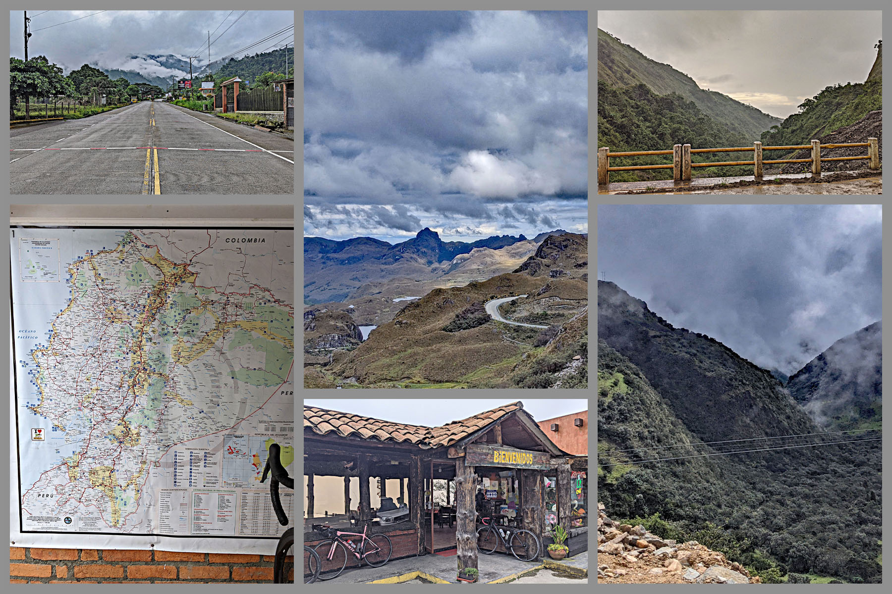
The route is also a tour through three of Ecuador's ecosystems in one ride: banana and cacao lowlands near Naranjal, dense cloud forest through the foothills, and above treeline, the cold, wind-swept Andean paramo grassland that gives El Cajas its many glacial lakes. We found this climb in 2019 via a Strava segment simply named "la muerte" - "the death" - while one of our contributors was studying in nearby Cuenca; at the time barely a dozen riders had ever logged a full ascent

Locally, though, the pass has an older name: Cuenca residents call it El Alto de Tres Cruces, "Three Crosses Pass," after three crosses that once marked the summit in memory of travelers who died there of cold and exhaustion crossing the Andes on foot - a grim history that both names, old and new, independently point back to. La Muerte currently ranks as the #2 hardest cycling climb in the world, behind only Mauna Kea

The reward is real, but so is the risk: weather at the finish is notoriously unpredictable, and you can leave 90-degree coastal heat behind for cold, wind, fog, and rain by the time you reach the paramo, often with little warning. Plan accordingly (see Gear & Provisions and Roadway & Parking below).

PLAN YOUR ROUTE

We've partnered with Sherpa-Map.com to bring you the best route planning tool. With a PRO Membership you can use this climb as a reference when creating your route.
If we eliminate the few descents (the most significant 3.7 km at -7.1%) the average grade for the La Muerta bike climb spikes from 5.4% to 7.1%.  The steepest 500 meter segment of the climb is 15%, and there are a full two kilometers at 9.5% average.  11% of the entire climb is at ≥10% grade.
 
See more details and tools regarding this climb's grade via the “Profile Tool” button.
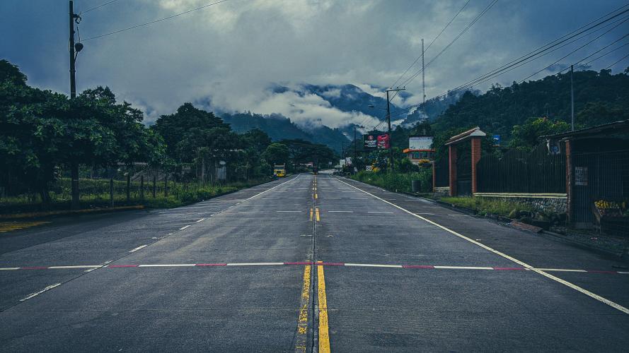
Roadway The E-582 (Cuenca-Molleturo-Naranjal highway) is chronically prone to landslides during Ecuador's rainy season and is currently (as of August 2026) undergoing a $21.8 million, World Bank-financed rehabilitation. A landslide closed the road at kilometer 101 in mid-2026; that section currently has partial clearance restricted to vehicles under 3.5 tons, and Ecuador's emergency service ECU911 has flagged several other points along the route (roughly km 49, 53, 57, 85, 91, and 92) for ongoing monitoring or active slope-stabilization work. Check current road status before you ride - conditions here change quickly and locally, and our 2019 note that the surface was in great shape no longer reflects the whole route today.

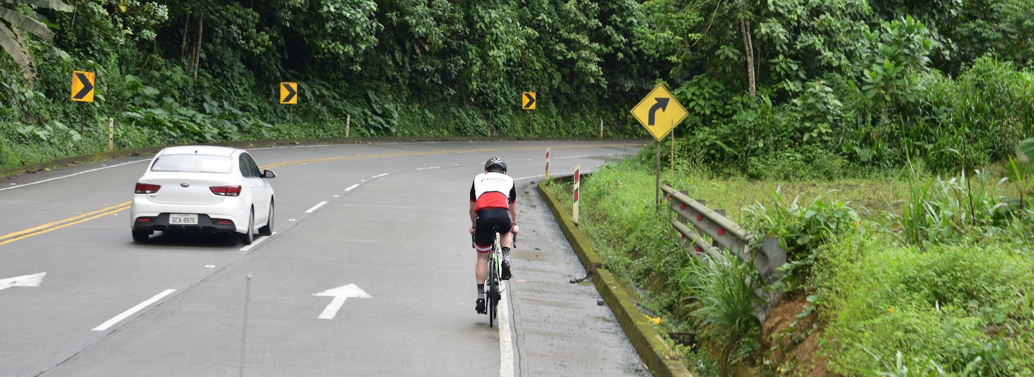
Traffic Buses and light/medium vehicles use this road regularly as the main link between the coast (Naranjal) and Cuenca, but its tight turns and steep grades keep large freight trucks off it - a separate coastal logistics corridor is being built specifically because this route can't handle big rigs. Traffic is moderate rather than heavy, and drivers generally give cyclists room to pass.

ParkingYou should use a support vehicle for this climb. However, if you intend to go it self-supported, ask to park at the gas station located at the start of the climb - MapStreet View
ProvisionsThere are food and beverage at the start of the climb at the Estacion de servicio San Jose (PDV) - Google Map + Reviews or the fast food restaurant Estacion Pio Pio - Google Map + Reviews. Restaurant" Brisa Costanera" is at kilometer 20.5 (Google Map + Reviews) and at least 10 other restaurants over the last 50 kilometers. 

Weather
You finish this climb at 4,144 meters, nearly 4,000 meters higher than where you start.  Therefore, be sure to consult the PJAMM "Full Forecast" feature for the time you expect to arrive at the finish to assess what clothing to bring on your ride.
Before heading out on any cycling adventure check out our Things to Bring on a Cycling Trip and use our interactive check list to ensure you don't forget anything.
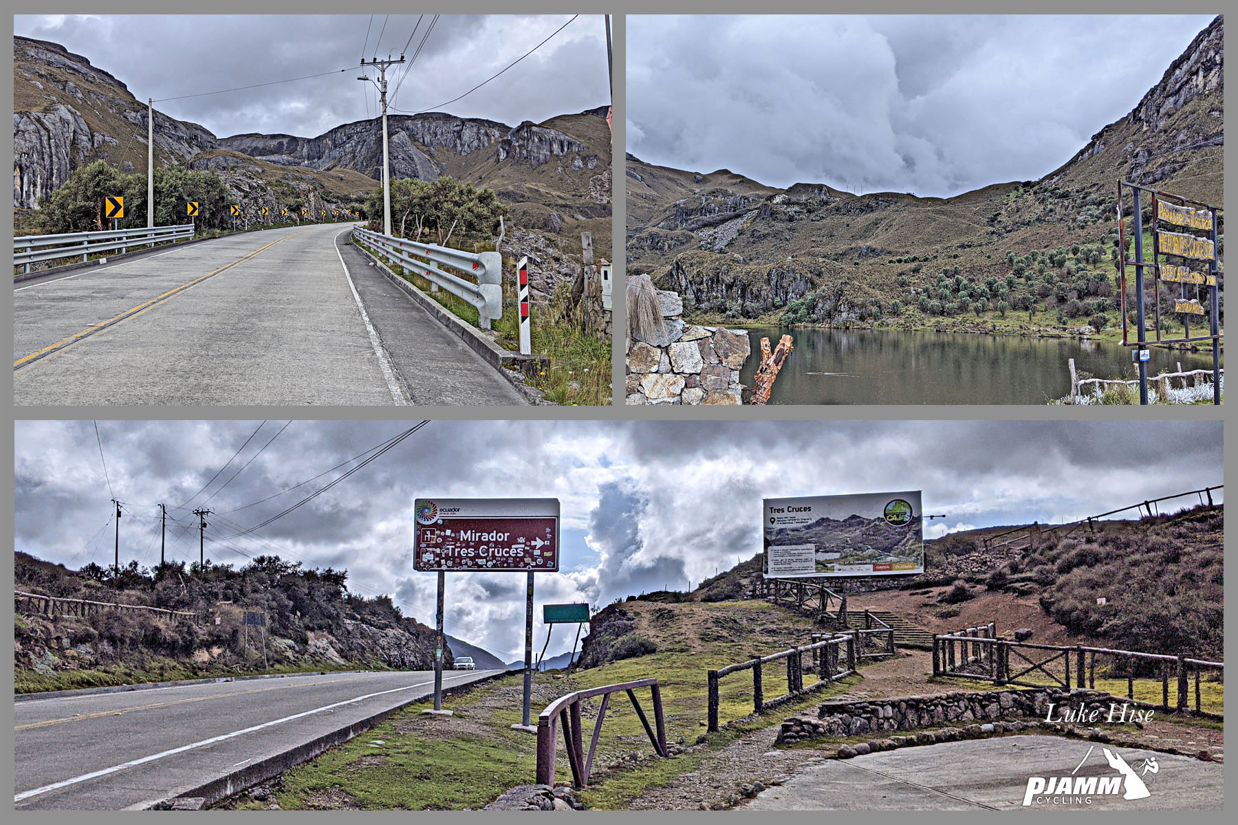
You finish this ride inside Parque Nacional Cajas at the Mirador Tres Cruces overlook, on the continental divide - a genuine highlight in its own right, with views over Cajas' glacial lakes on a clear day (a rarity - see Roadway & Parking above for how variable the weather gets up there). Google Map + Reviews.

Cuenca, about 30 kilometers beyond the summit, is the nearest city with real lodging, food, and bike shops if you need to resupply or stage a vehicle before or after the ride - most riders base out of there rather than Naranjal.

A support vehicle is strongly recommended given this ride's length, its extreme elevation swing from sea level to nearly 4,150 meters, and how quickly weather changes near the top - this isn't a climb to do fully self-supported.

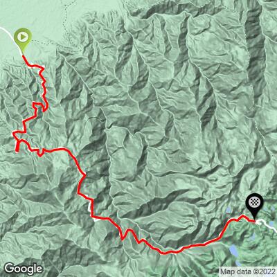
ROUTE MAP
MEMBER RATING

Difficulty: Extreme
4/5
Road
3/5
Traffic
5/5
Scenery

CURRENT WEATHER

PJAMM TRIPS ADVENTURE STARTER BUNDLES

Check out PJAMM Adventure's prepackaged (self-guided) cycling trips. They will help you plan, document and conquer your next adventure.
ALL TRIPS
Browse all of our prepackaged trips and find your next adventure!

NEARBY CLIMBS (0) RADIAL PROXIMITY

FROM
No Climbs Found

MEMBER REVIEWS & COMMENTS

Let us know what you thought of this climb. Signup for our FREE membership to write a review or post a comment.
Already have an account?

Nov 17, 2024
difficulty: Extreme
scenery: 5
traffic: 3
road: 4
Nov 17, 2024
scenery: 5
traffic: 3
road: 4
Hi there, here in Cuenca, Ecuador we know this climb as El Alto de Tres Cruces, I didn know the name La Muerte. I started the ride at the Naranjal Toll Station, I rode 84 km and the positive gain was 4.400m. I suggest to chance the name of this route.
ROUTE MAP
PROFILE TOOL
Route Data
S.G. (%)
hide
Segment Data
hide
CLIMB SUMMARY

La Muerta, Ecuador

The eighth hardest bike climb in the world.

Ride 72.5 kilometers to 4,144 meters gaining 4,470 meters at 5.4% average grade.

We gain more elevation on this than any other climb in the world - 14,670’ v. Alto de Letras 14,526’.  This is also the 5th longest bike climb in the world putting La Muerta in the Top 10 World for difficulty, distance and altitude gained.

Summary by Mitch Reid, Reno, Nevada, USA.

The story of how I discovered La Muerte is also the story of how I became involved with PJAMM cycling. About a year ago in December 2018, I found out from my school that I had been accepted into a program to study abroad in Cuenca, Ecuador at the beginning of the next year. Knowing that there was no way I was going to go two months without training, I immediately decided that I would be bringing my bike with me down to Ecuador, and began looking into what the riding was like in the area. During my research into the cycling situation around Cuenca, I stumbled across a relatively nearby Strava segment simply called “la muerte” (which translates to “the death” in spanish) that absolutely blew me away. The segment was 44 miles long, with 12,242 feet of climbing! I had never seen another climb like it in my life. This insane segment seemed even more daunting when I saw that only 13 people had ever finished the full climb on Strava. The second I saw this segment I knew that there was no way I was going to live about two hours from the start of the climb for two months and not give it a shot, so I set out to learn as much as I could about the ride and what I would need to be prepared for it. During this process of gathering information on the climb, I commented on the Strava activity of the last person to have ridden up La Muerte, asking about the road conditions and what suggestions he had for the ride. A few months later, when I was finally in Ecuador, John from PJAMM commented on that same Strava activity feed, asking for information about the ride and saying that it looked like a climb that would rank really high on his site. I saw this comment and reached out to John to let him know that I was planning on riding La Muerte in the coming weeks, and that’s how my involvement with PJAMM began.


A BEAST of a climb!

The Ride:


There’s a saying out there that says something along the lines of, “man plans, God laughs,” and there have been few other times in my life where that saying was as accurate as the day that I rode up La Muerte. Because I am an overconfident 21 year old male, I had decided that I was going to try to beat the current KOM on the La Muerte Strava segment, which was five hours and 21 minutes.  I was in really good shape, and after planning things out for many weeks in advance, I was confident that I had thought of everything that I needed to be ready to do my fastest possible time on the climb. Nutrition, pacing, hydration: I was certain I had everything dialed in.

On the morning of the big day, the driver who I had hired to take me to the start of the climb and follow me up the mountain, picked me up along with my photographer/roommate Max, who I had convinced to come along to take photos and help me document the climb. The two hour drive from Cuenca to the start of the climb involves driving to the top of the mountain where La Muerte finishes, and then descending down the road to where it starts at the base of the mountain.  We spent the entire drive talking about how lucky we had gotten with the weather. You see, the weather in the mountains around La Muerte is notorious with locals for how impossible it is to predict, and how quickly it can change, and the entire drive to the start we had blue skies with just a couple of clouds, so we were excited that we had lucked out.


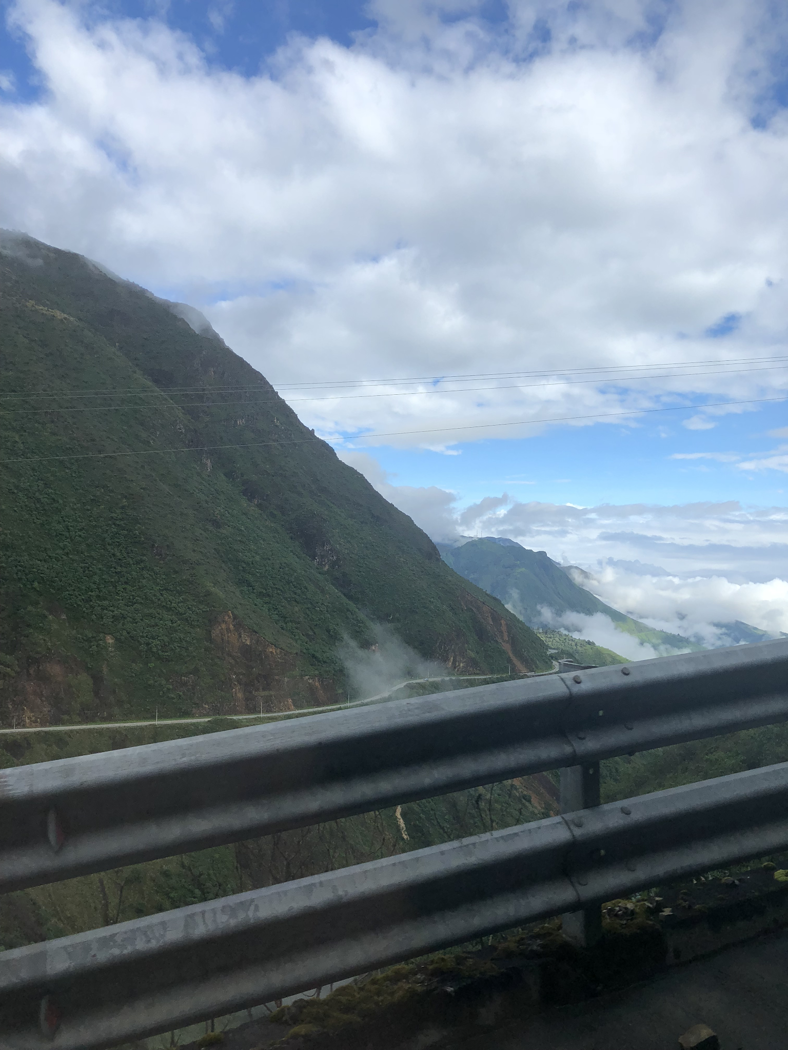
A fuzzy shot from the drive to the start of the climb.

The road can be seen just over the guardrail. Notice the calm blue sky.

There is a service station located just a few hundred yards from the start of the Strava segment, so we parked there to get all set up for the ride. Because I had a driver and Max to help out, I was fortunate enough to be able to leave all of my food, water, and warm clothes in the truck that was following me up the “hill”. The plan was for the driver and Max to trail me up the road with the truck’s hazard lights on, with Max taking pictures, and then anytime I needed food or water, I could wave them up and Max would hand me a bottle or some food out of the car. After talking with Max and the driver about my plans to not stop riding until the end of the climb, I saddled up and hit the road.

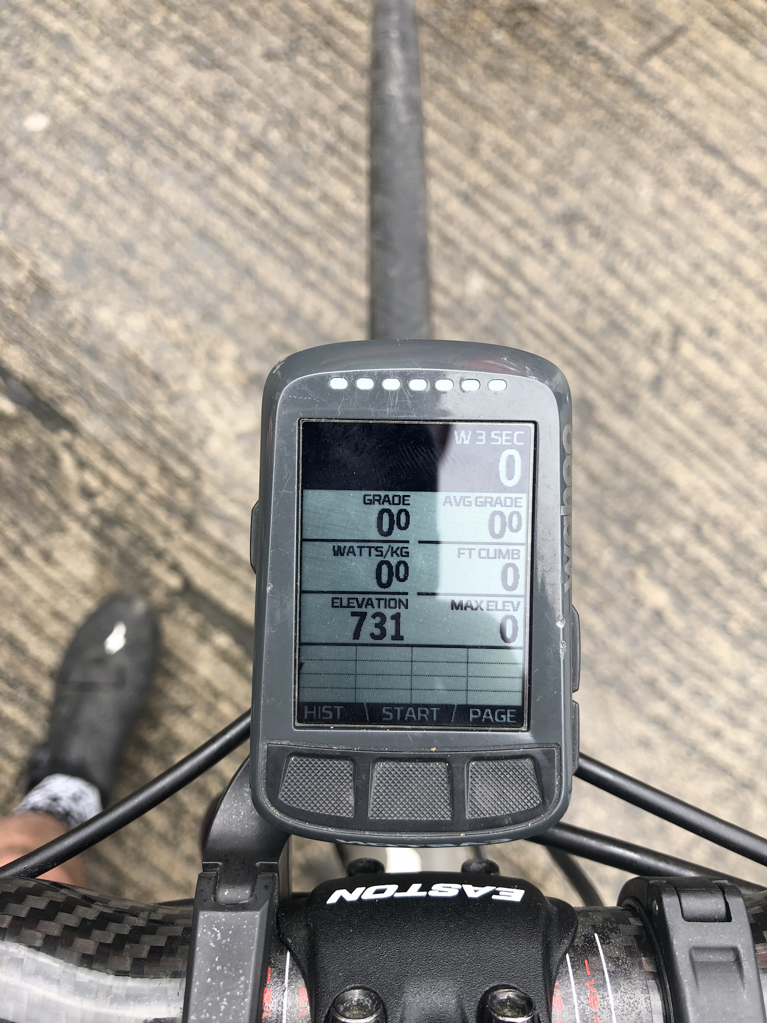
The starting elevation from the service station parking lot at the base of the climb: 731ft (223m).

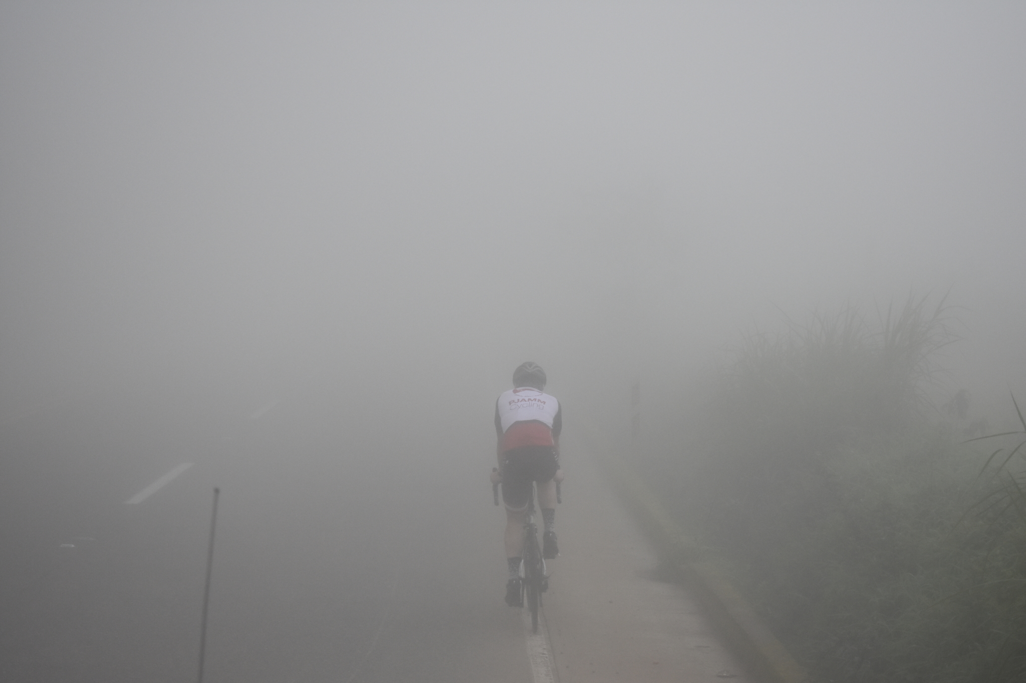
The second I started pedaling up the mountain, the weather flipped a hard 180 degrees and things started to get gross quickly. It was as if the mountain itself had heard us discussing how nice the weather was that morning and said, “Sike! You thought you had lucked out?” Super thick fog started to roll in, and rain and wind started to pick up. The temperature at the start of the ride was about 88 degrees fahrenheit, so the wind and rain weren’t freezing, but the moisture in the air combined with the humidity and the fog was pretty brutal.

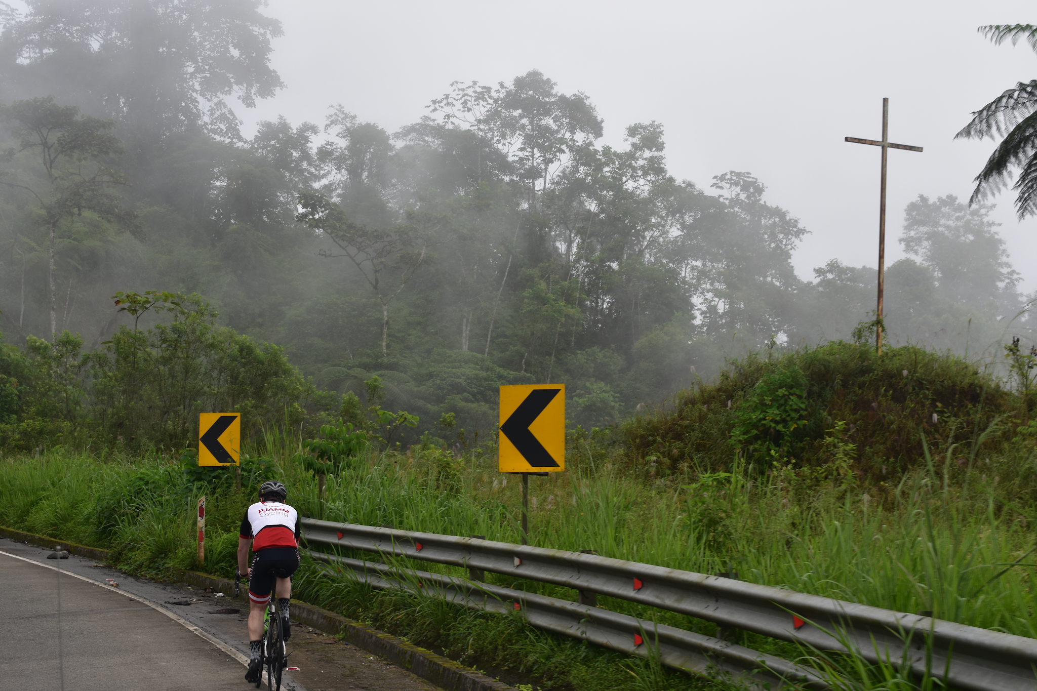
The fog creeping in just shortly after the start of the ride.

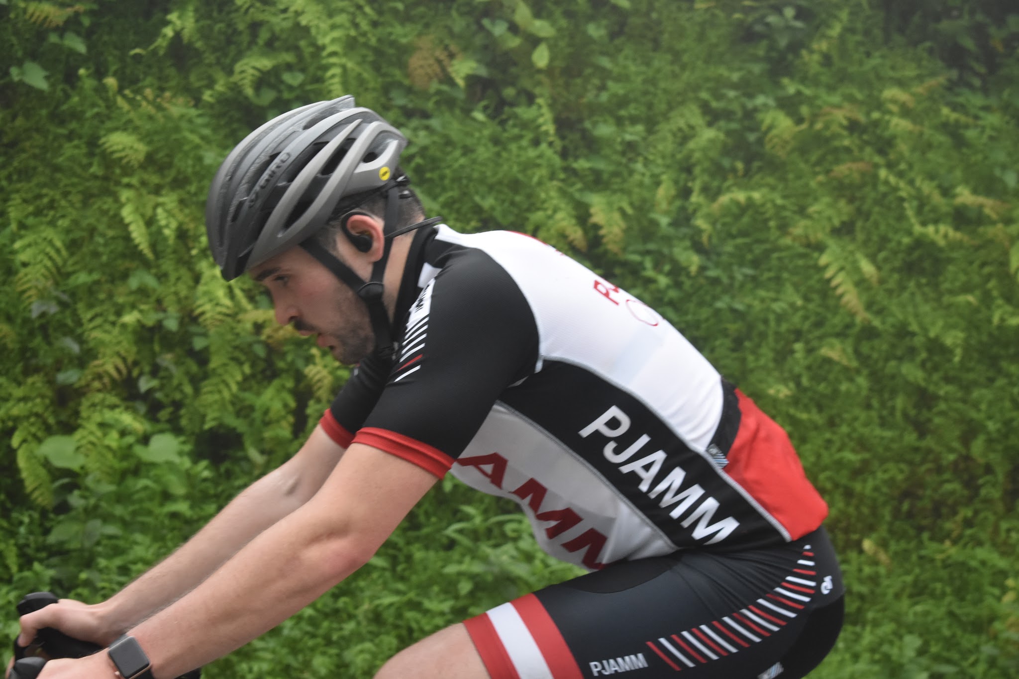
Despite the thickening fog and slowly increasing rain and wind, I was feeling really good at the start of the climb. Because I had been training in Cuenca at an elevation of 8,500 feet for the past two months, I knew that I would be feeling really strong at such a lower altitude, so I had strict power number that I was going to pace myself by. I settled in to the effort and began steadily working my way up the climb. With a climb that was expecting to take me over five hours of non-stop ride time, I knew that nutrition was incredibly important, so I made sure to go through one bottle of water every 40 minutes and to get something to eat from Max whenever he handed me a new bottle.

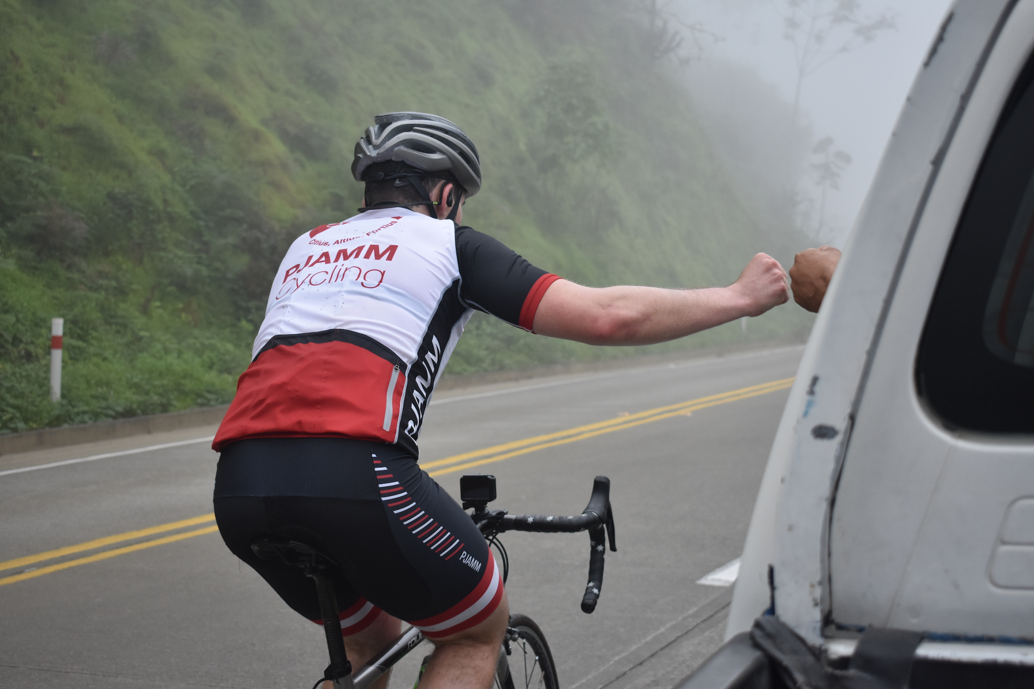
Saying a quick thanks to my driver after a successful bottle swap maneuver.

Max and I had talked for a few days about the incredible shots of the surrounding scenery he would be able to take while I rode, so it was a huge bummer that by about an hour into the ride, the fog was so thick that we couldn’t see anything but maybe 50 feet of the road in front of us.

The fog growing thicker, and the air wetter, as I slowly work my way up the road.

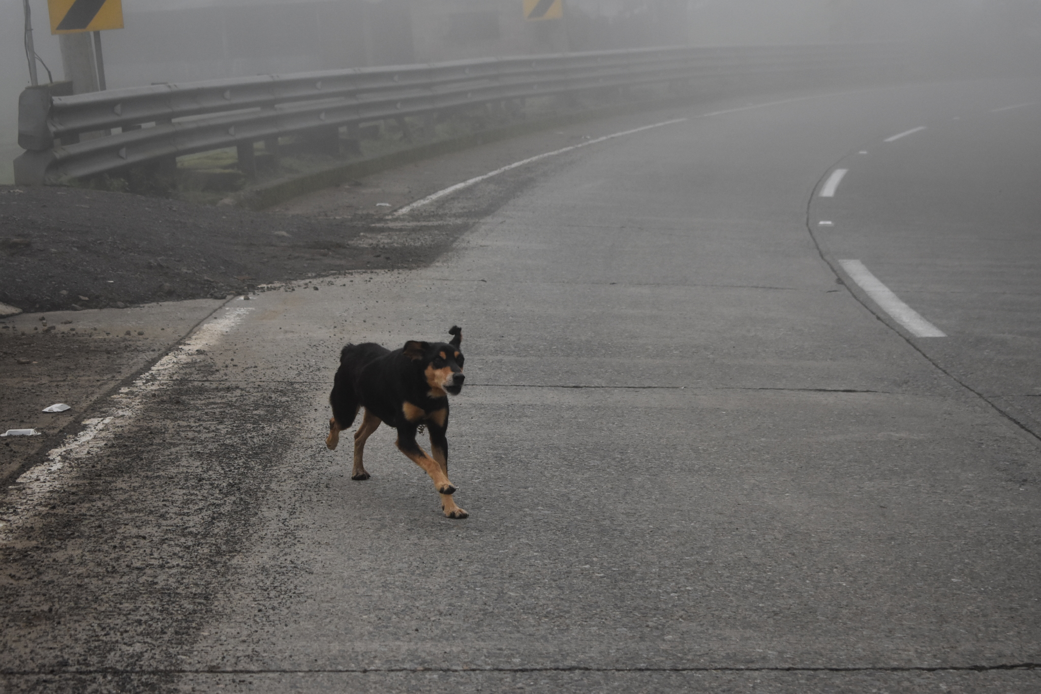
The next hour of riding featured more of the same, with me getting food and water from the car, and Max trying to get some cool pictures despite the extremely limited visibility and ever increasing rain and wind. After having to sprint away from a pack of stray dogs (not a fun thing to do 2.5 hours into a five hour effort), the weather got to the point that I told Max (who had been hanging out in the bed of the truck to take photos) to get in the cab to get out of the rain and to protect his camera.

It’s not a ride in South America unless you have to sprint away from some dogs!

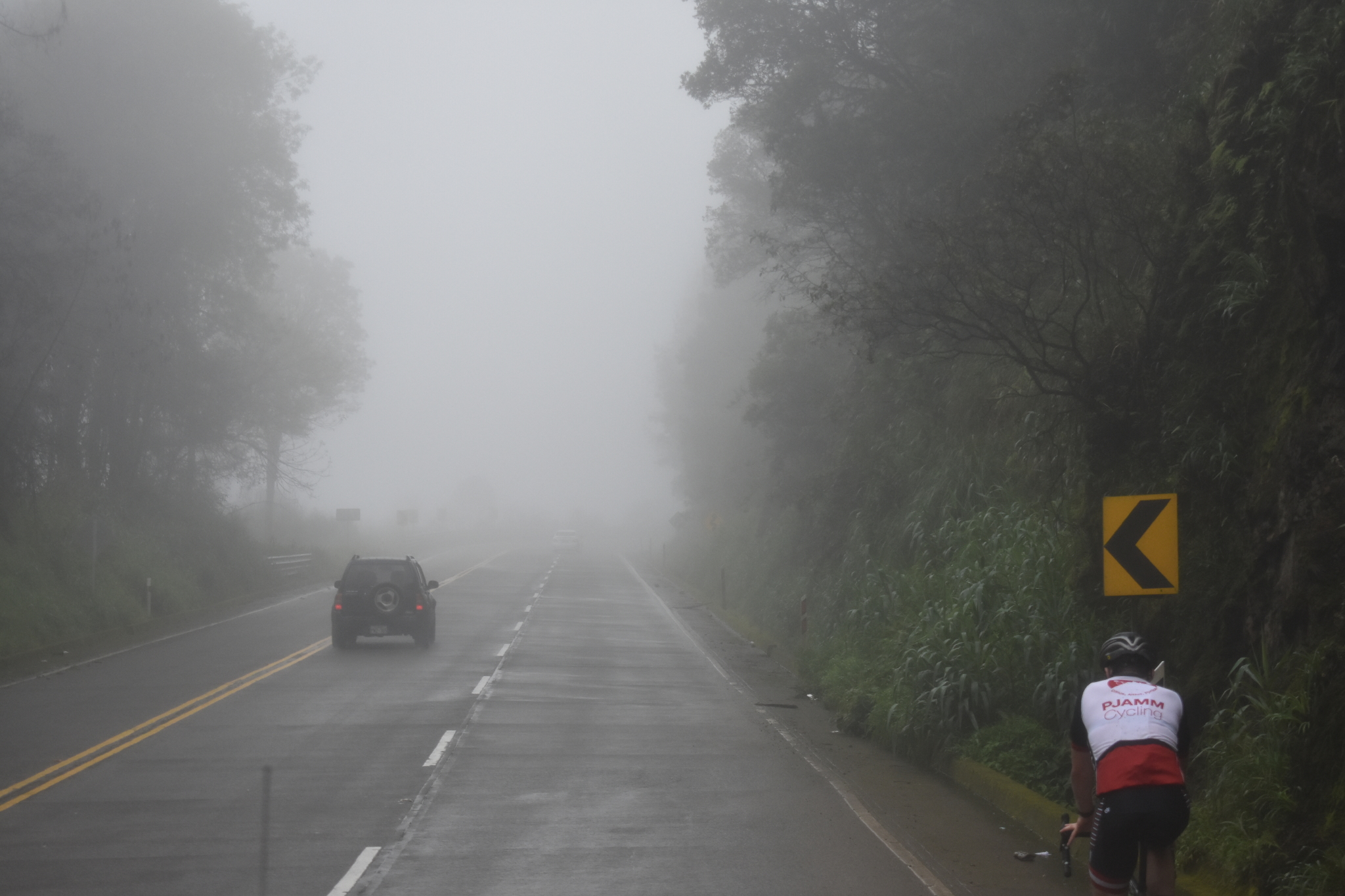
With the weather to the point that we could barely see cars coming down the mountain in the opposite direction (Ecuadorian drivers seem to be REALLY against driving with their headlights on, even with only about 20 feet of visibility), the day turned into even more challenging ordeal. With nothing to focus on as I rode but the fog in front of me, I just slowly watched the elevation reading on my bike computer tick up. As the rode became wetter and wetter, it even got to the point where I “crashed” twice because my tires lost traction on the slick road, causing me to slide out and fall over. After roughly 3.5 hours of consistent 7-9% grades, I finally began to understand why this climb was ranked as the sixth hardest in the world.

This photo sums up the weather for the entire ride:  

Soaking wet, windy, and impossible to see anything but the road right in front of you.

 By this point, the only thing that kept me motivated was the two mile descent waiting for me once I got to about 9,100 feet, however I was definitely not in my right mind, because between the pouring rain on the sleek roads, and the terrible visibility from the fog, the descent would prove to be the most stressful part of the whole ride.

Despite the truly awful weather, up until the descent, I was still feeling strong. I was following my pacing plan really well, and it felt like an effort I’d be able to sustain for the remainder of the ride. However, after not pedaling at all as I navigated my way down the sketchy descent, when I started to climb back up again, things started to turn sour fast. I had thought that I had been eating enough the whole ride, but with a climb this long, one small mistake can have some pretty serious repercussions. At about 31 miles in to the climb, with 9,500 feet of climbing done thus far, I started to hit a wall -- hard. My power began to drop drastically, and I slowly grew more and more out of it. After grinding it out for a few more miles and about 1,000 more feet of climbing, I started to have some serious issues. I began to black out a little bit, and was slowly slipping into delirium, unable to control my bike and swerving sketchily all over the road. At 34.7 miles, I regained awareness while sitting on the side of the wet road and watching Max and my driver load my bike in to the back of the truck. Apparently I had pulled over to the side of the road and pulled the plug on the day, but I did not remember stopping. I then proceeded to vomit a few times before crawling into the passenger seat of the truck to get driven home.

Finish

At the end of the day, I had ended the climb with 10 miles still to go, but I had still done 34 miles and 10,500 feet of climbing. If the fact that I had to bail with 22% of the mileage of the climb left to go, but still finished with 10,500 feet of elevation gain doesn’t help you understand how much of a challenge La Muerte is, I don’t know what will. Between some of the worst weather I have ever ridden in, and the relentless gradient, La Muerte was hands down the hardest ride I have ever done. There is no doubt in my mind that this is one of the hardest climbs in the entire world.

Despite the awful weather and the worst implosion of my life, I’d do this climb again in a heartbeat.

La Muerte is truly a climb with few equals.

A Bit About the Area:

The La Muerte climb is located in the Andes Mountains in southern Ecuador’s Parque Nacional Cajas, a high-altitude national park area, west of the city of Cuenca.  Cuenca (urban area population: 400,000/metropolitan area population: 700,000) is approximately two hours from this bike climb, and is the capital largest city in Ecuador’s Azuay province.  It is an old city (founded in 1557), and as such, has been named as a UNESCO world heritage site because of the many historical buildings found within the city’s center.  In this part of the Andes Mountains, the mountain range itself is older, and is prone to less volcanic activity.  The old mountains form extensive plateaus, lending themselves to the accumulation of water, therefore, the Cajas National Park is known for its many lakes and lagoons.  

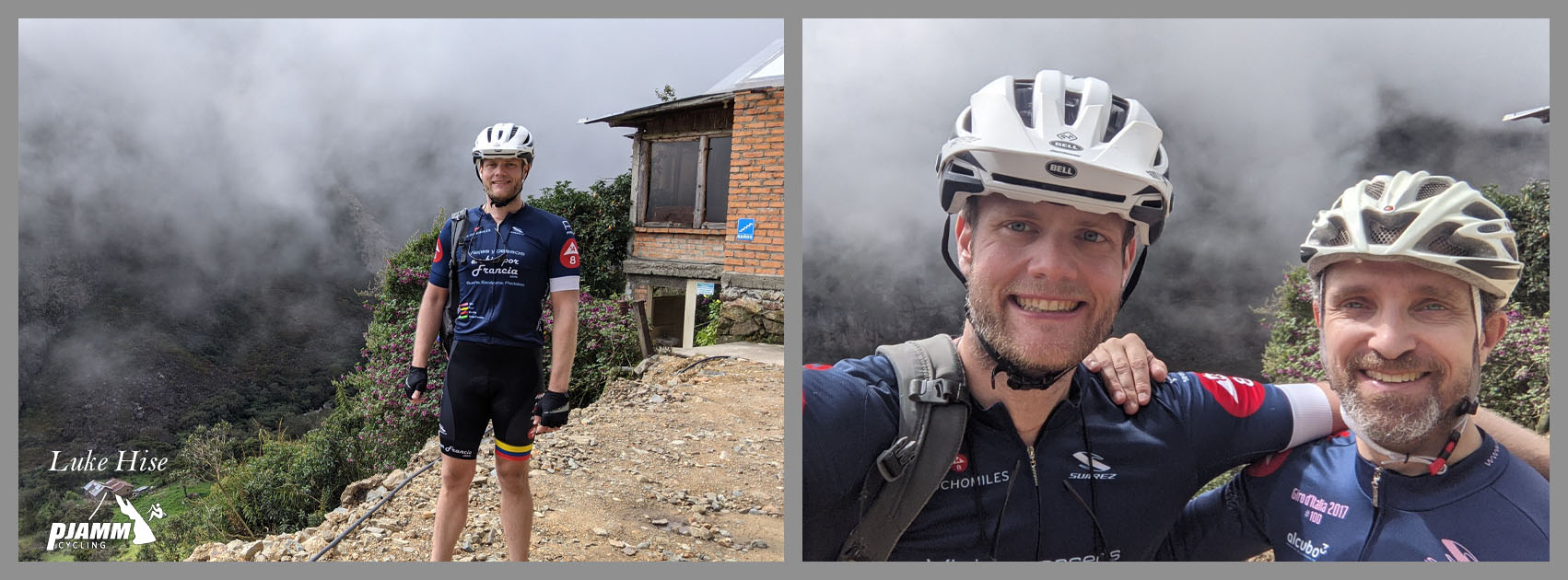
Thanks to Luke Hise for photos in better weather!!