29.2
PDI
9.4 mi
DISTANCE
4,082 ft
GAINED
8.2 %
AVG. GRADE
FULL CLIMB STATS
Page Contributor(s): Ard Oostra (BIG 108), Switzerland.
INTRO
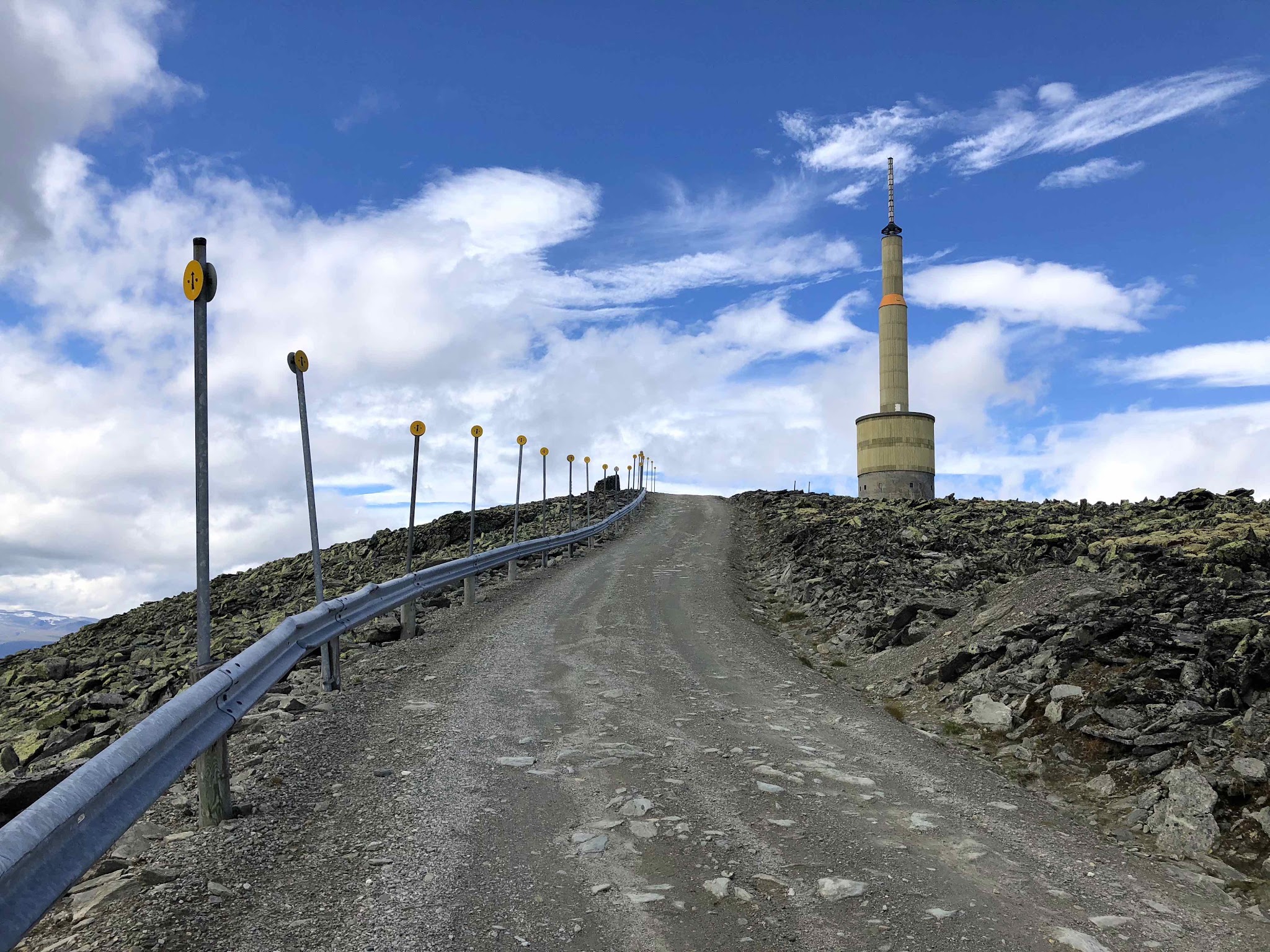
Blaho is one of the highest points in Norway you can reach by bike, climbing 15.1 km (9.4 mi) and gaining 1,244 m (4,082 ft) at an 8.2% average grade from the village of Vagamo to a 1,611 m (5,286 ft) summit - making this Norway's third-highest road. The first couple of kilometers out of Vagamo are paved before the road turns to gravel for the rest of the climb, gravel that gets progressively coarser and looser the higher you go.
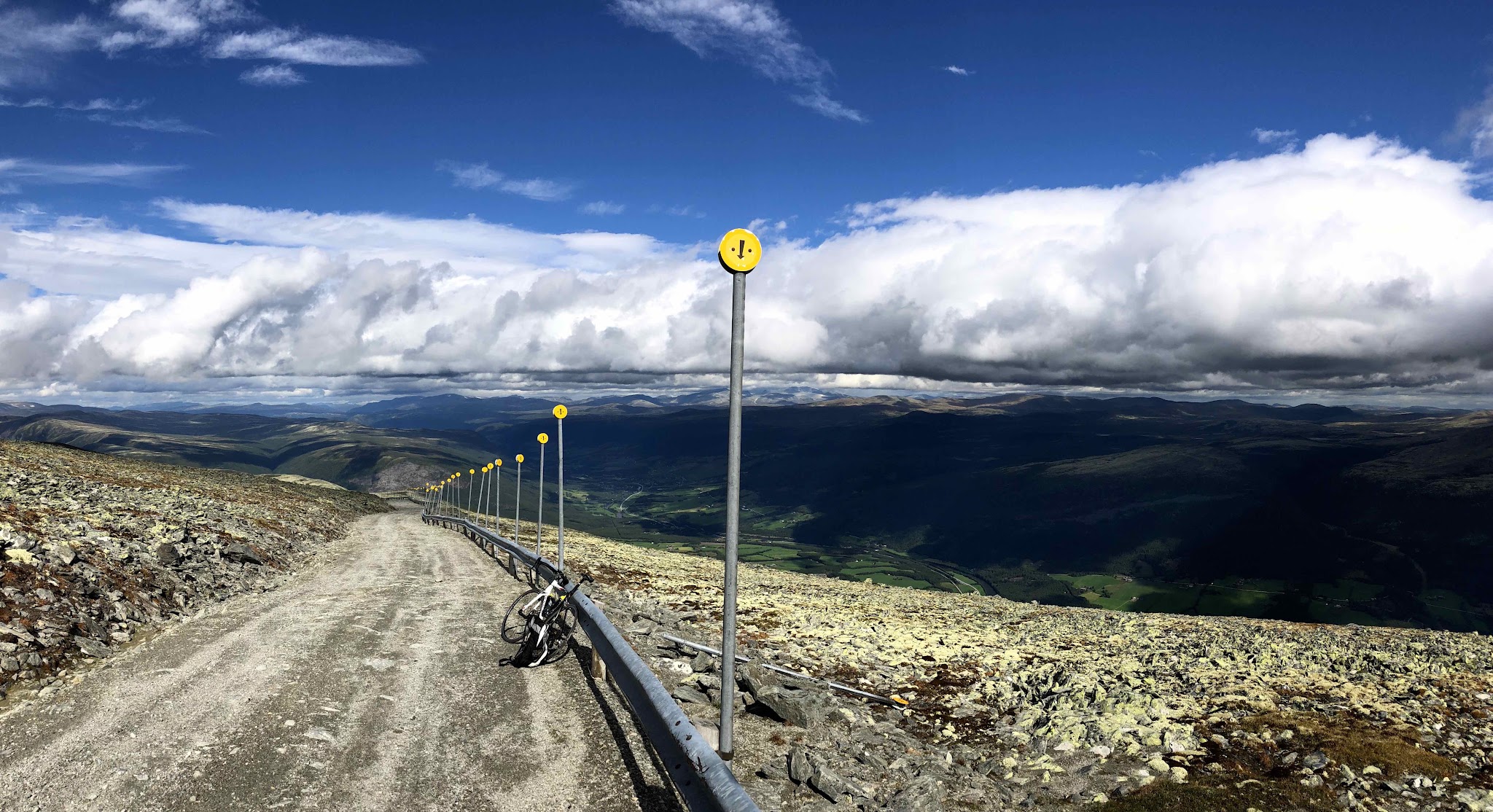
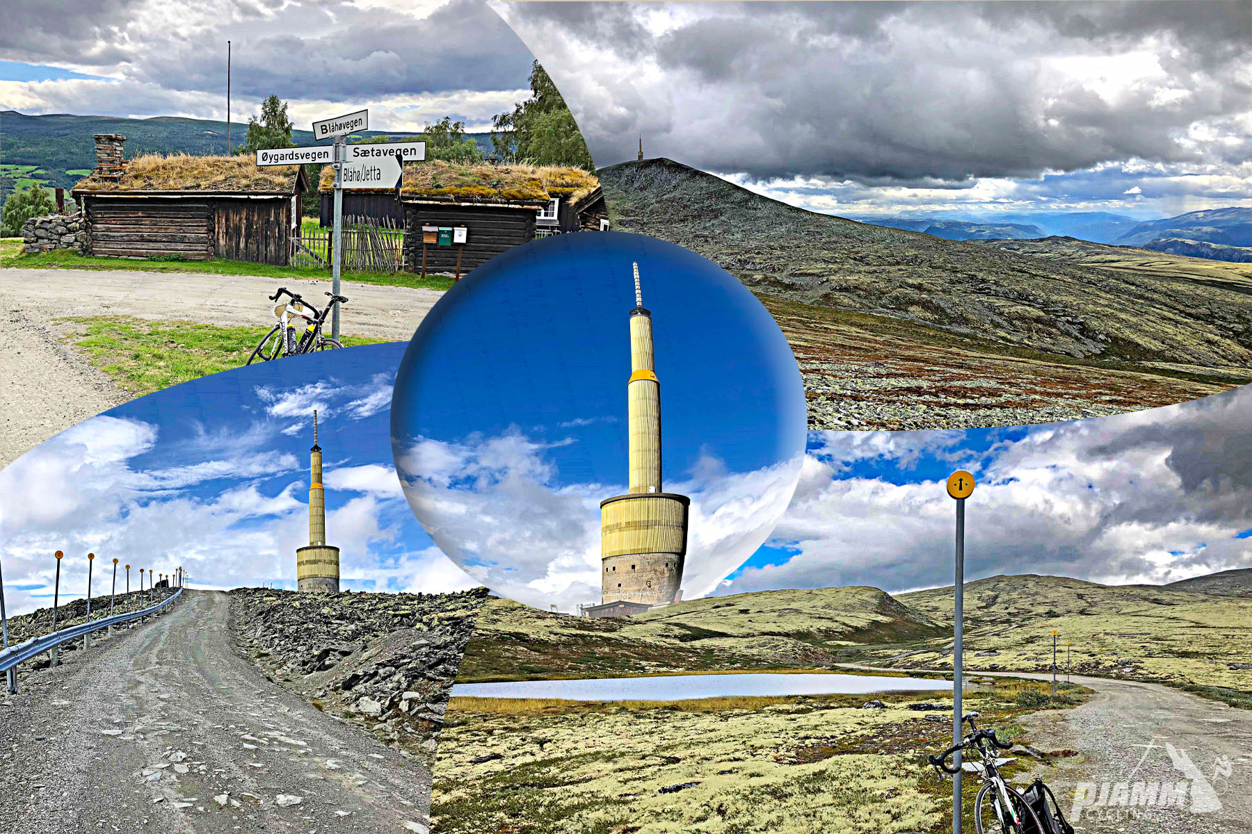
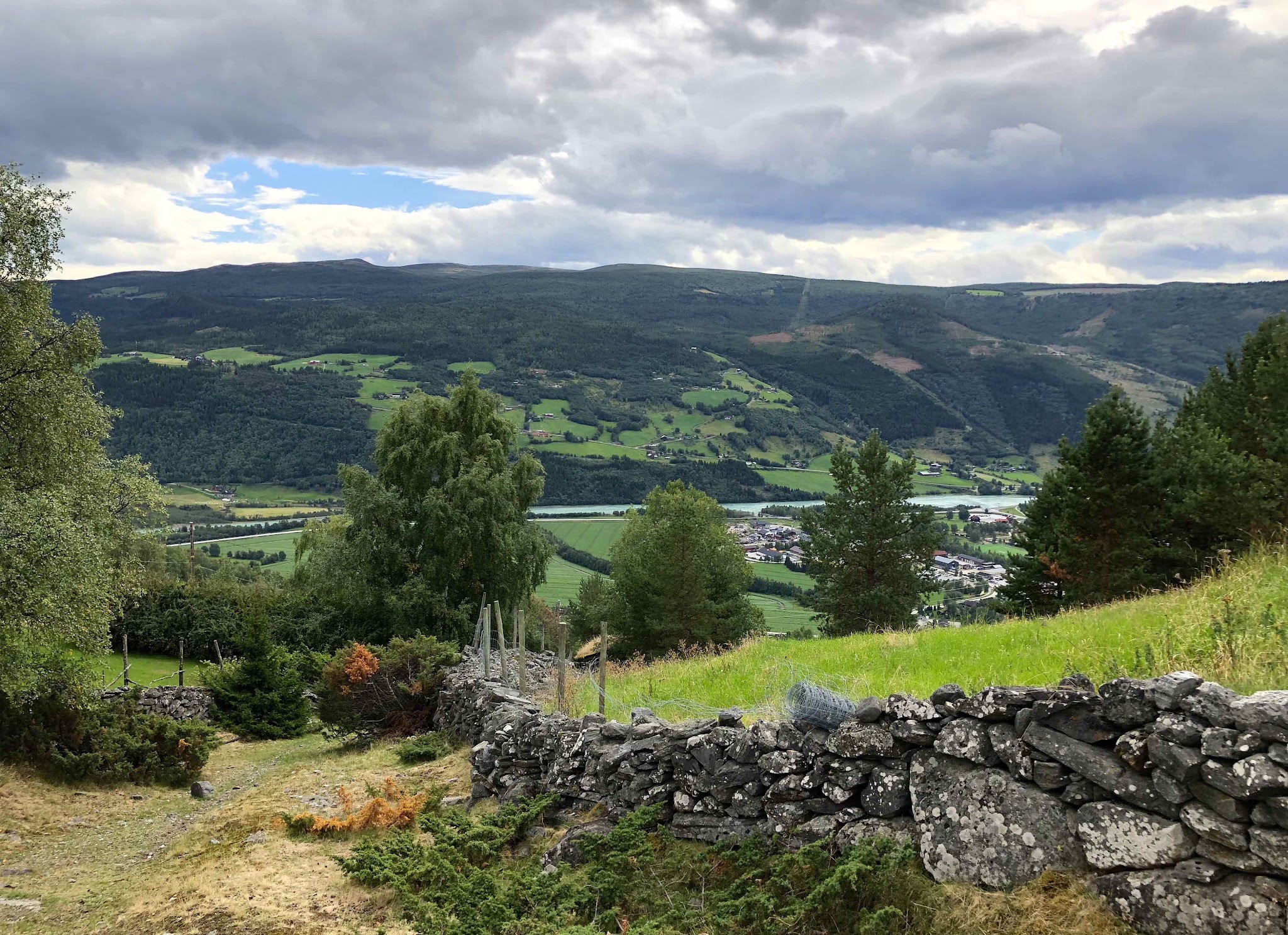
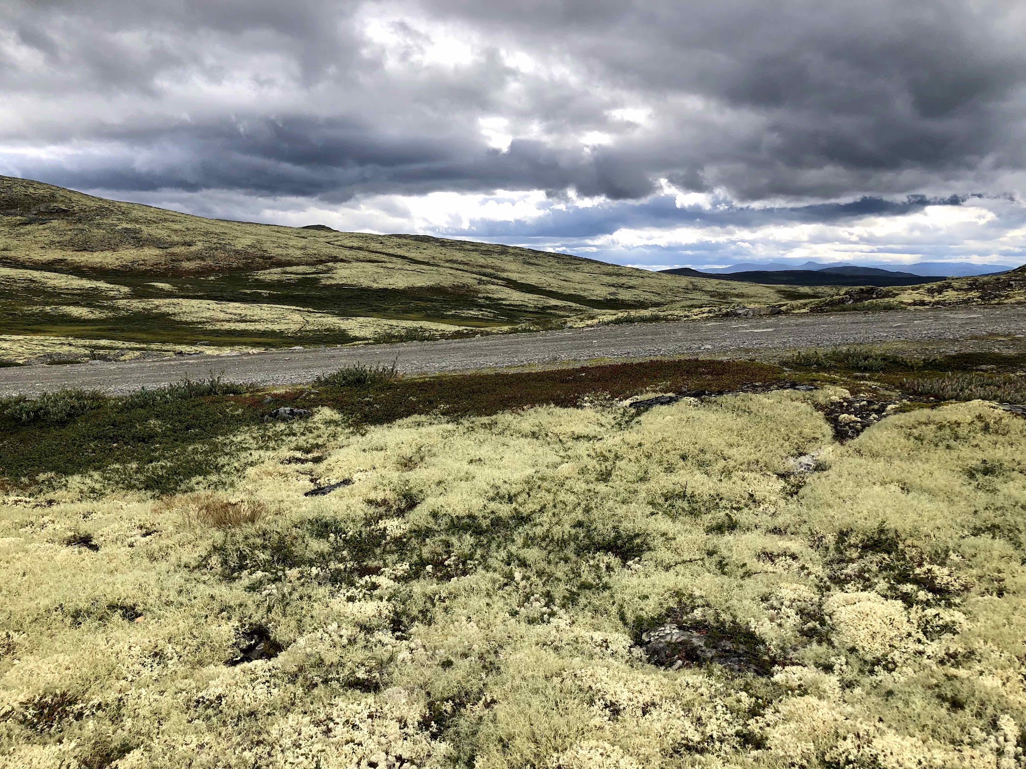
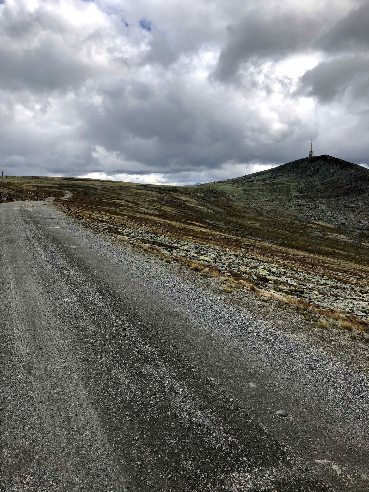
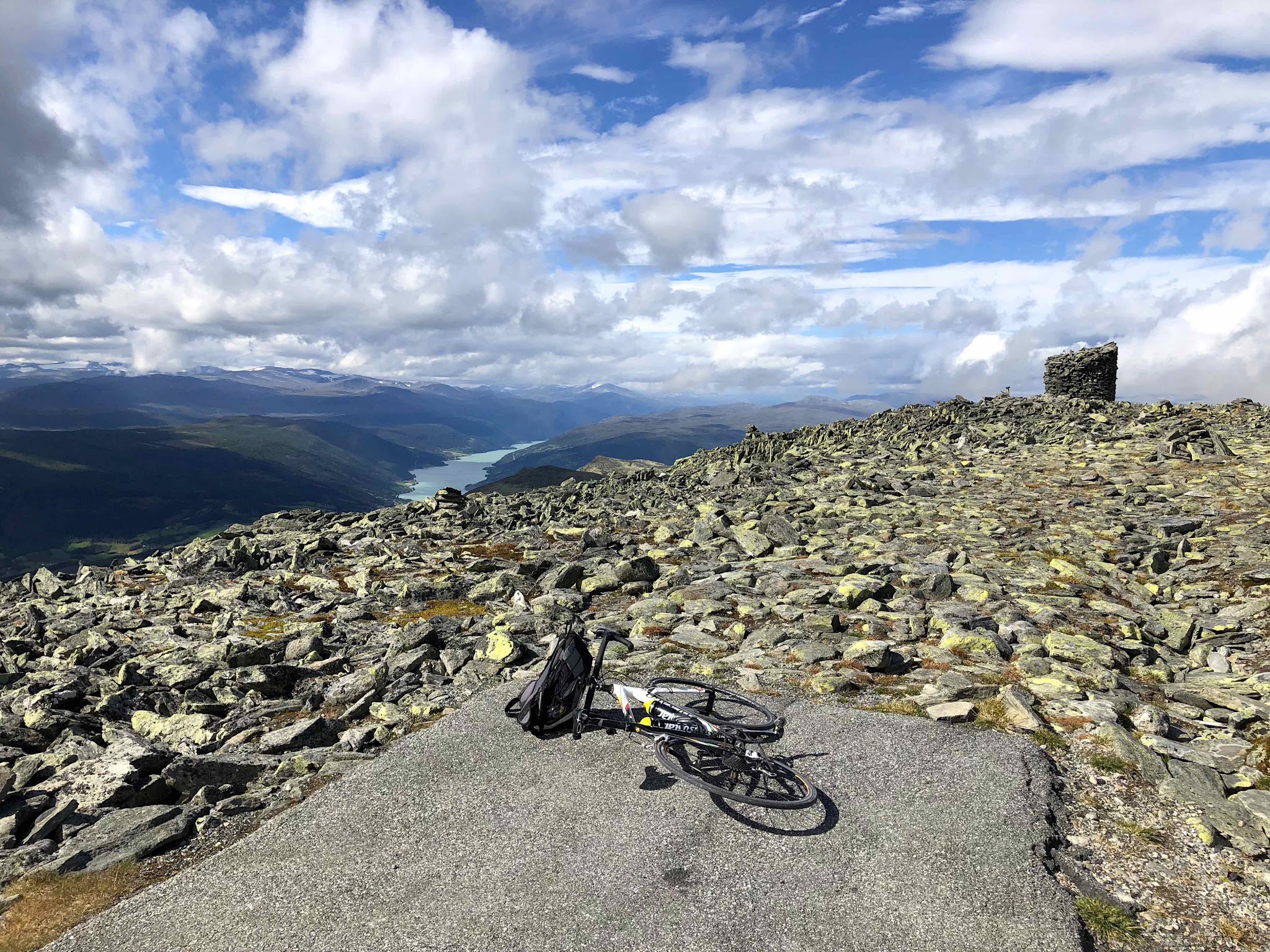
The lower slopes pass working farms, gardens, and forest above Lake Vagavatnet, which stays in view from changing angles for much of the ride; past about the halfway point the terrain opens into stark, treeless mountain tundra. The final kilometer ramps back up to around 12% on loose gravel, curving up to a summit crowned by a large transmission mast, with 360-degree views that include the lake more than 1,200 m below.
Weather at this elevation can turn fast even in summer - PJAMM's own August ascent recorded temperatures dropping from the mid-30s Fahrenheit to well below freezing with wind chill near the top. The descent is just as demanding as the climb in its own way: the gravel is loose enough that riders should go slow and stay alert to avoid a puncture on the way down.
PLAN YOUR ROUTE
 We've partnered with Sherpa-Map.com to bring you the best route planning tool. With a PRO Membership you can use this climb as a reference when creating your route.
 Blaho averages 8.2% over 15.1 km (9.4 mi), but the climb comes in distinct pitches rather than one steady grade. The first roughly 6 km out of Vagamo is the steepest sustained stretch, gaining about 700 m by itself; the steepest kilometer on the whole route averages 14.2%, and the steepest 100 yards touches 16.5%. The steepest quarter mile averages 15.3% and the steepest half mile 14.8%. Between about km 6.5 and 9.5 the grade eases noticeably across the open tundra, before the road steepens again from km 10.5 to 12, and the final kilometer to the summit runs close to 12% on loose gravel. Zoomed out, the steepest mile averages 13.6% and the steepest 2 km 13.9% - reflecting how much of the real climbing is concentrated in two distinct steep sections rather than spread evenly across the route. Total elevation gain is 1,244 m (4,082 ft), with just 6 m (21 ft) of descent along the way.
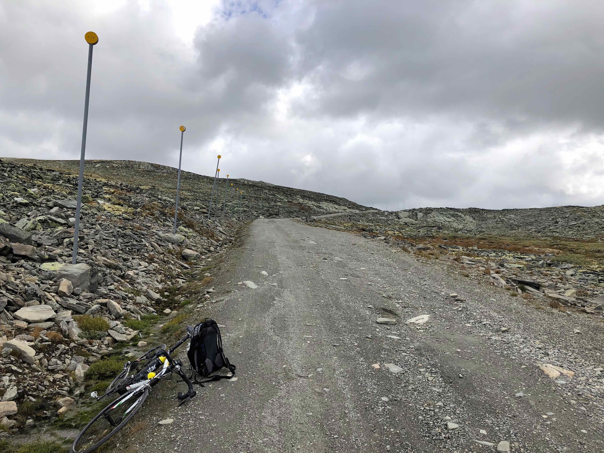
Roadway: The road is paved for the first couple of kilometers out of Vagamo, then transitions to gravel for the remainder of the climb - smooth at first, but progressively coarser and looser over the final few kilometers to the summit. It's manageable on a road bike in dry conditions, though the surface softens and gets more difficult when wet. This is a genuinely high-altitude gravel mountain road, not a maintained highway, so expect a rougher ride than the pavement percentage alone would suggest.
Traffic: Very light. This is a narrow, remote mountain road serving little beyond the summit transmission mast, so expect solitude for nearly the entire ride - just be aware winds can be strong enough near the top to affect your line on the loose gravel.
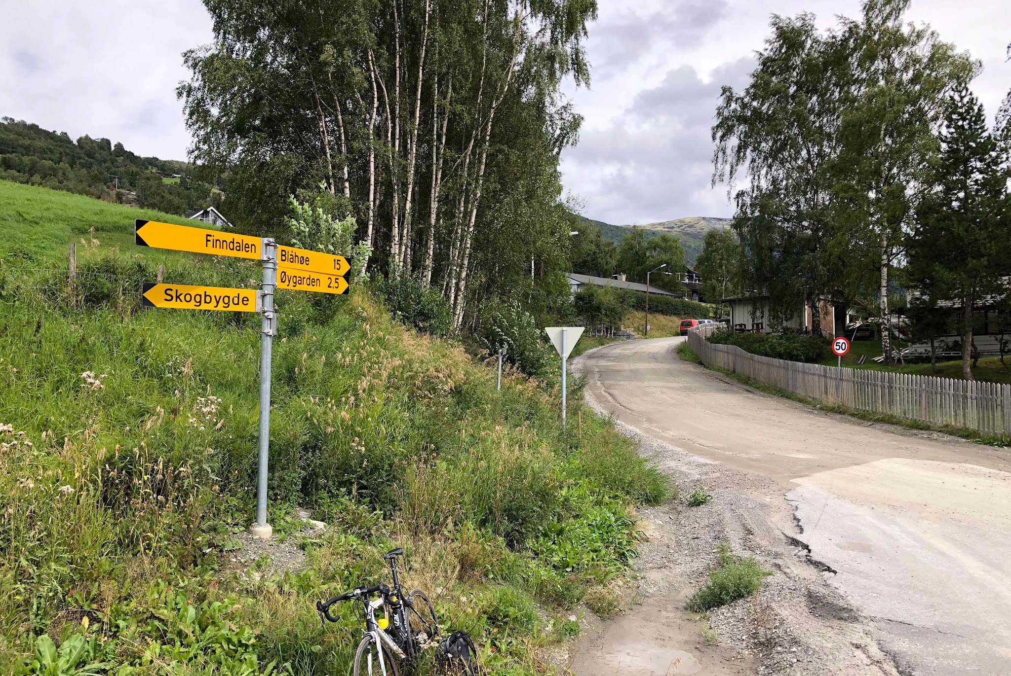
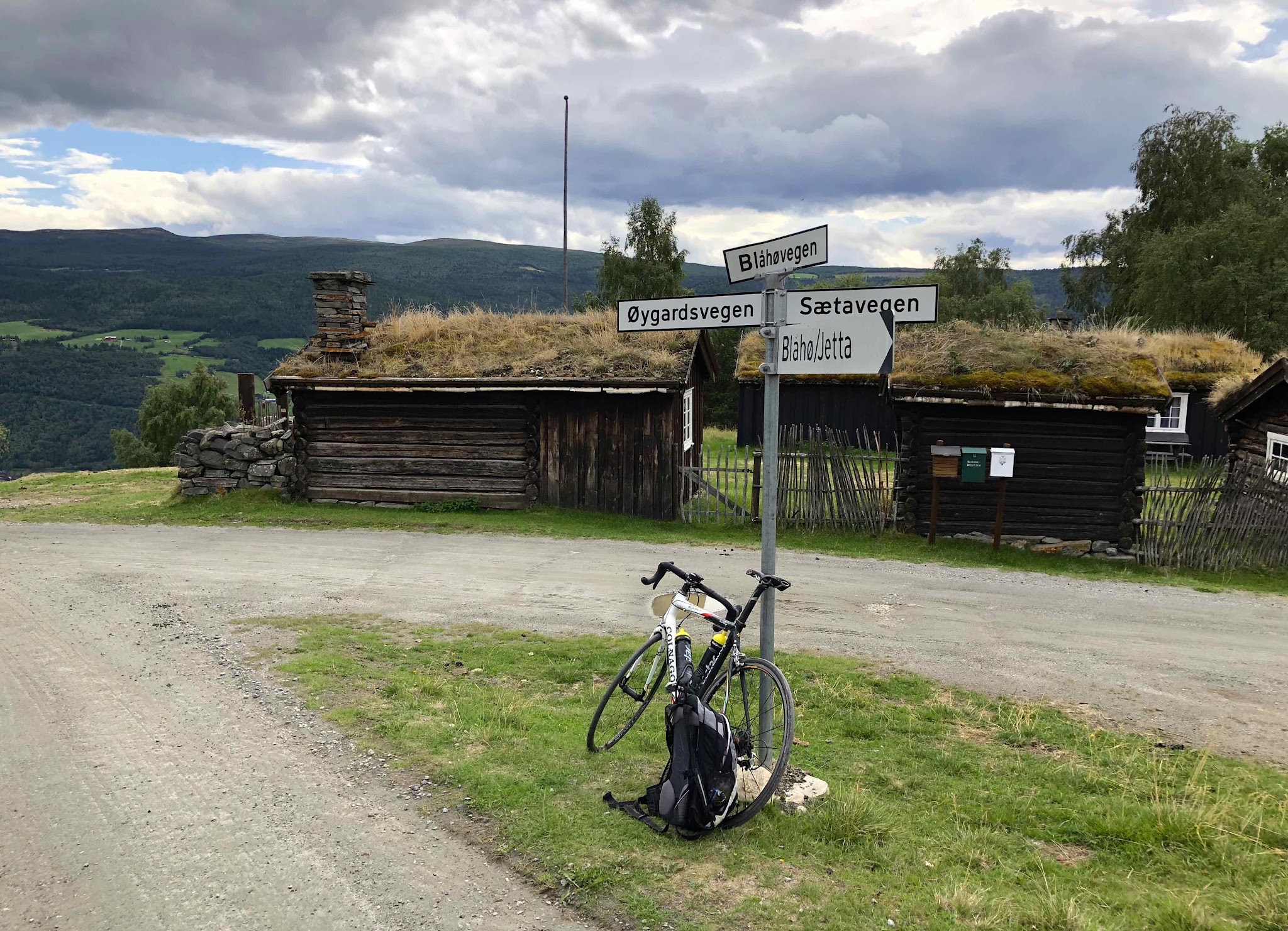
Parking: Vagamo is a small village and informal roadside parking near the start of Oygardsvegen, at its intersection with Skogbygdsvegen, works fine. Vagamo sits along National Road 15 next to Lake Vagavatnet, so it's an easy stop if you're already traveling through the Gudbrandsdalen valley.
There's nothing in the way of food, water, or repair services once you leave Vagamo, so carry what you need for the full climb and descent - a spare tube or two is worth having given how easy it is to pinch-flat or cut a tire on the loose upper gravel. This is a genuinely alpine environment: even in August, summit temperatures have dropped from the high 30s Fahrenheit to well below freezing with wind chill, so pack real wind and cold protection regardless of what the weather looks like in Vagamo. Wider tires with some tread help considerably on the coarser sections above the halfway point, and the same caution applies on the way back down - go slow on the gravel descent to avoid a puncture.
Before heading out on any cycling adventure check out our Things to Bring on a Cycling Trip and use our interactive check list to ensure you don't forget anything.
Vagamo, the start of the climb, sits along National Road 15 next to Lake Vagavatnet in the Gudbrandsdalen valley, roughly the geographic middle of southern Norway - a practical stop if you're road-tripping between Oslo and the fjords or the Jotunheimen mountains, both within reach by car. The village itself is small, so don't expect much beyond basic services; Otta and Lom, each about a 30-45 minute drive away, have more lodging and dining options.
Given how sharply the weather can change at Blaho's summit even in summer, our Weather tool is worth checking before you commit to the climb - conditions at 1,611 m (5,286 ft) can be a different season entirely from what you left in Vagamo.
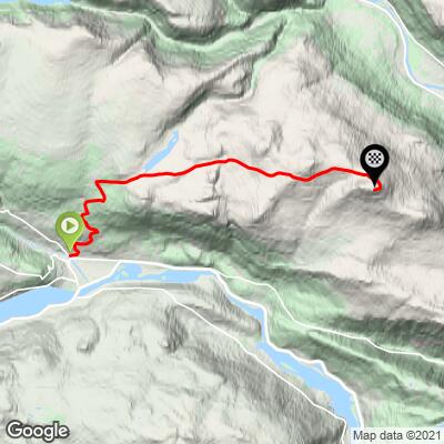
ROUTE MAP
MEMBER RATING
CURRENT WEATHER
PJAMM TRIPS ADVENTURE STARTER BUNDLES
Check out PJAMM Adventure's prepackaged (self-guided) cycling trips. They will help you plan, document and conquer your next adventure.
NEARBY CLIMBS (0) RADIAL PROXIMITY
FROM No Climbs Found
MEMBER REVIEWS & COMMENTS
Let us know what you thought of this climb. Signup for our FREE membership to write a review or post a comment.
Already have an account?
LOG IN HERE