27.2
PDI
14 mi
DISTANCE
4,273 ft
GAINED
5.8 %
AVG. GRADE
FULL CLIMB STATS
Page Contributor(s): Hernando Bermudez, Bellevue, WA, USA
INTRO
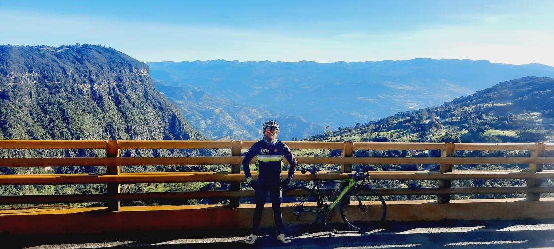
This 14 mile bike climb is located in Cundinamarca, Colombia. The average gradient is 5.8% and there is a total elevation gain of 4,273 ft, finishing at 10,279 ft.
Use the profile tool, route map, and weather forecast to conquer this cycling climb.
Use the profile tool, route map, and weather forecast to conquer this cycling climb.
PLAN YOUR ROUTE
See more details and tools regarding this climb's grade via our interactive Profile Tool.
Information Not Available
If you have any information regarding this climb, we'd like to hear from you. Click the CONTRIBUTE button to share your thoughts with us.
Information Not Available
If you have any information regarding this climb, we'd like to hear from you. Click the CONTRIBUTE button to share your thoughts with us.
Before heading out on any cycling adventure check out our Things to Bring on a Cycling Trip and use our interactive check list to ensure you don't forget anything.
Information Not Available
If you have any information regarding this climb, we'd like to hear from you. Click the CONTRIBUTE button to share your thoughts with us.
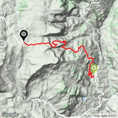
ROUTE MAP
MEMBER RATING
CURRENT WEATHER
PJAMM TRIPS ADVENTURE STARTER BUNDLES
Check out PJAMM Adventure's prepackaged (self-guided) cycling trips. They will help you plan, document and conquer your next adventure.
NEARBY CLIMBS (0) RADIAL PROXIMITY
FROM No Climbs Found
MEMBER REVIEWS & COMMENTS
Let us know what you thought of this climb. Signup for our FREE membership to write a review or post a comment.
Already have an account?
LOG IN HERE
xjezreel

The climb starts in the town of Choachi about 25 miles outside of Bogota. Bogota is located in a plateau nestled in the Eastern Cordillera of the Andes at an altitude of about 8600 feet and the road connecting it to Choachi shares the same characteristics as several others leaving the city in that it begins with a short climb to a mountain pass that then descends towards the outlying towns. The most likely route for doing this climb then is to start in Bogota and climb to the mountain pass at Paramo del Verjon, descend down to Choachi and reverse the route.
The views on this climb are truly breathtaking on a clear day including experiencing the typical flora of the Paramo such as the Frailejon plant and then the lush greens of the mountains at lower altitudes as one gets closer to Choachi. The road is in very good condition although it includes some bumps to force cars to slow down and as is typical in Colombia there are a significant number of trucks traveling the route.