22.5
PDI
8.6 mi
DISTANCE
3,392 ft
GAINED
7.5 %
AVG. GRADE
FULL CLIMB STATS
Page Contributor(s): Ard Oostra, Montreux, Switzerland
INTRO
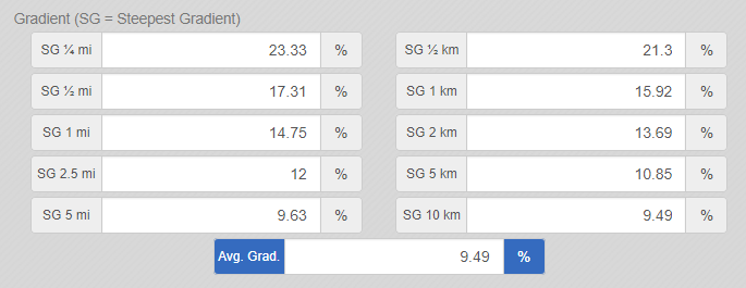
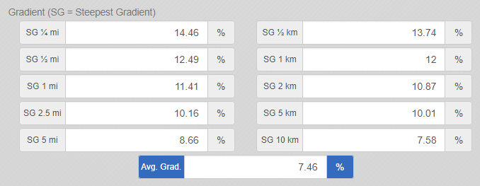
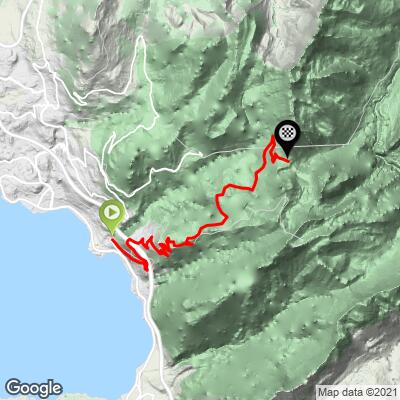
Col du Jaman climbs 13.9 km (8.6 mi) from the lakeside town of Montreux, on Lake Geneva, up to the 1,514 m (4,967 ft) col, gaining 1,034 m (3,392 ft) at a 7.5% average grade. It's the longer and gentler of the two ways up this col - the shorter Clarens approach a couple of kilometers west averages a punishing 9.5% - though "gentler" is relative: the steepest kilometer here still touches 12%.
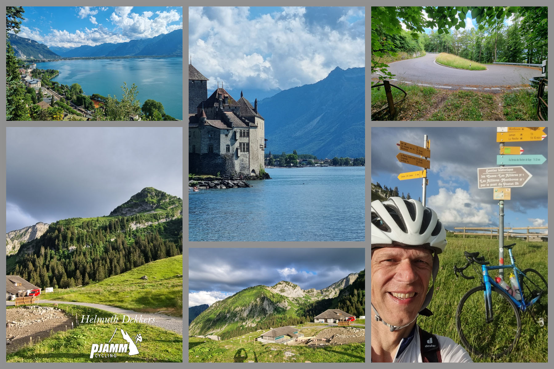
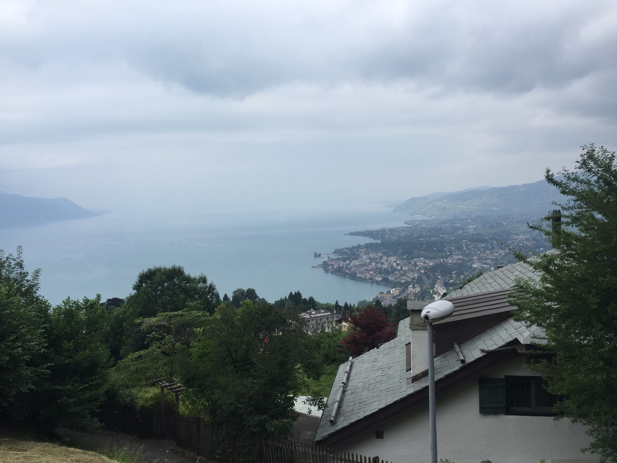
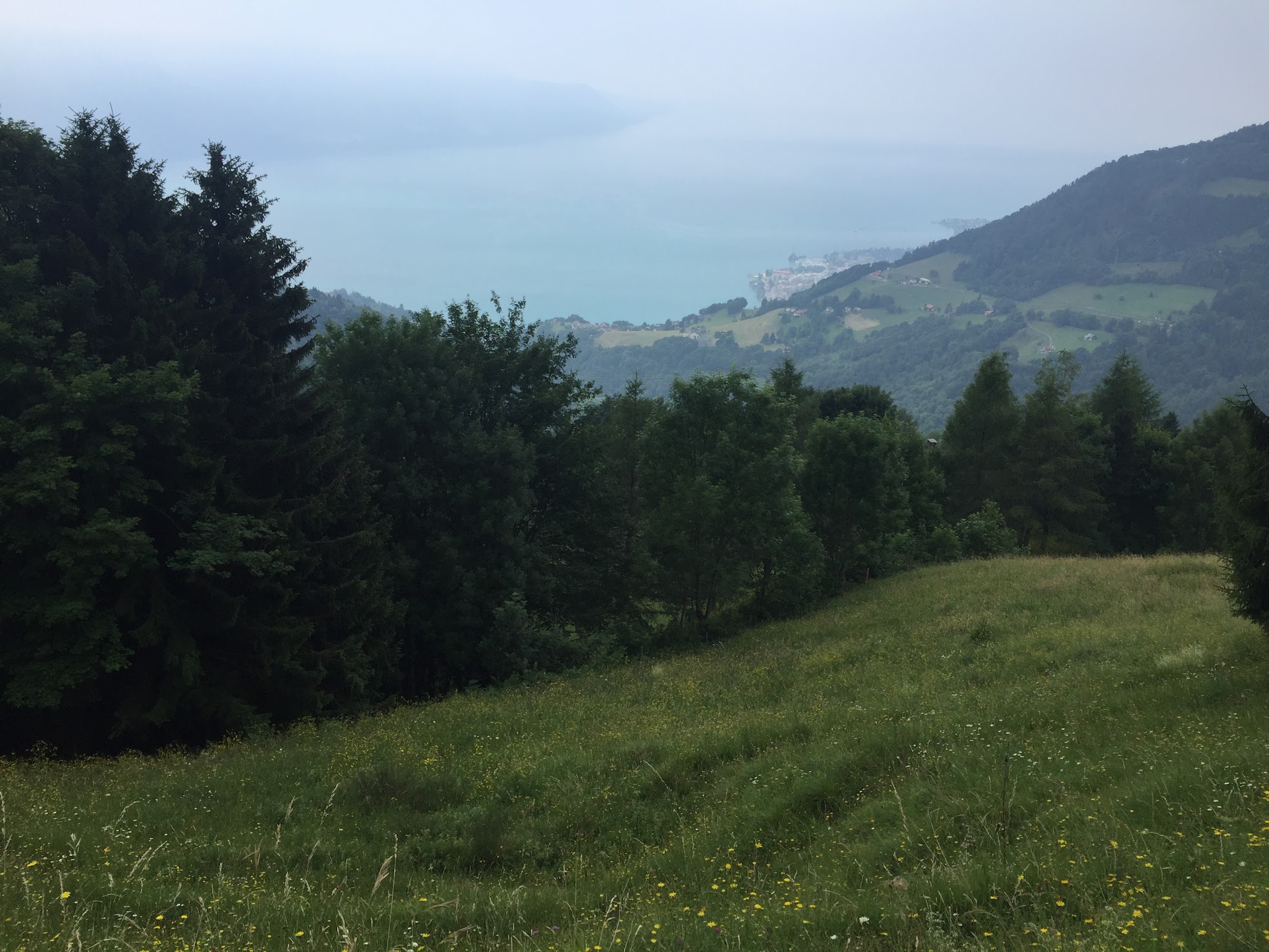
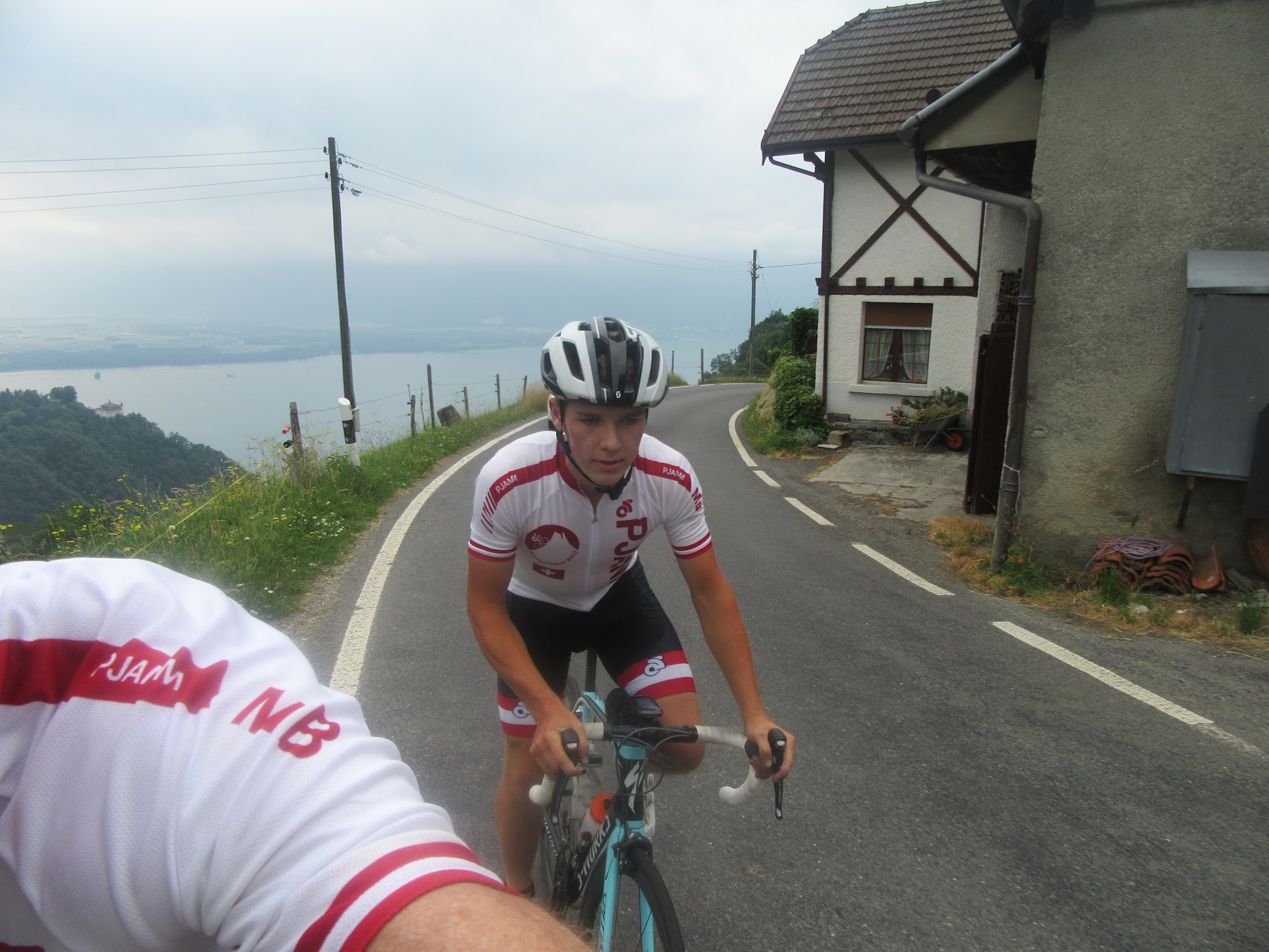
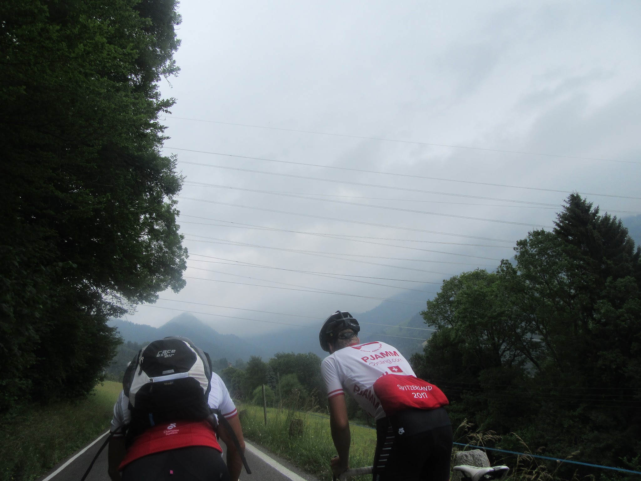
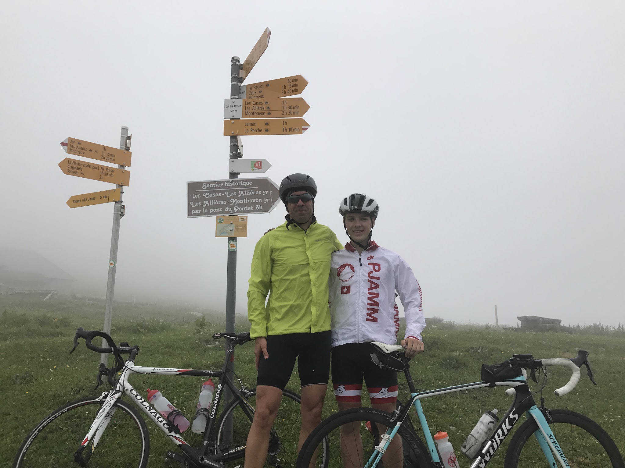
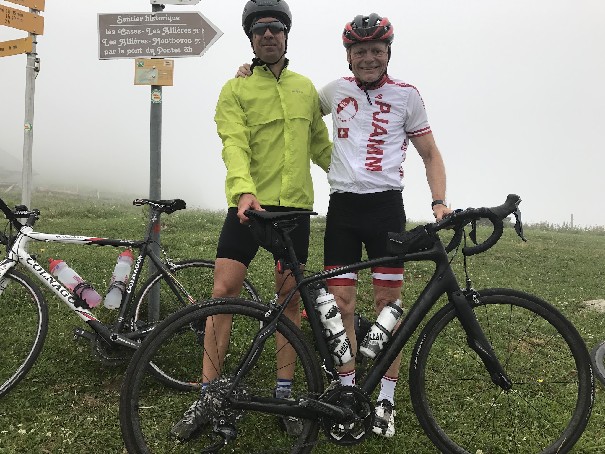
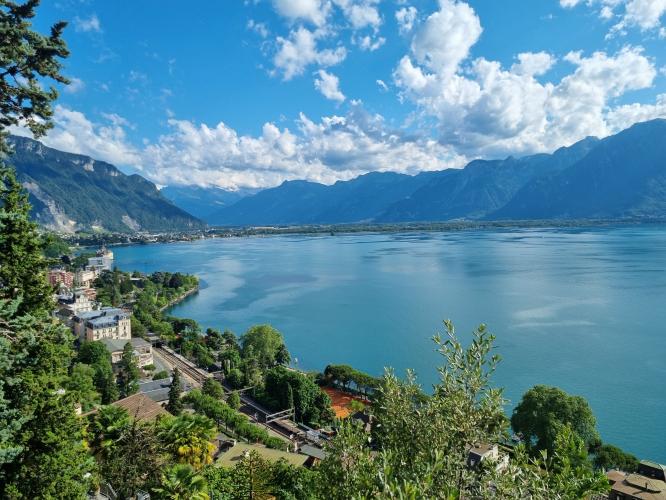
The road climbs out of Montreux past Glion and through a scattering of small hillside hamlets before settling into forest for the long middle section, then opens onto pasture in the final stretch below the col. We first rode this route with Ard Oostra, a Montreux local, guiding Brad and John to the summit - overcast weather rolled in before the top and cost us the clear-day views back over Lake Geneva and the Alps beyond, which is worth keeping in mind when picking a day for this one.
Montreux itself adds a reason to linger beyond the ride: Château de Chillon, one of Switzerland's most-visited monuments, sits right on the lakeshore a few kilometers from where this climb begins, and is well worth combining with a ride up to the col. Col du Jaman is one of several serious climbs radiating out from Montreux into the Vaud Prealps, alongside Le Molard and Plan de Châtel, making the town a genuine multi-day base without needing to change hotels.
PLAN YOUR ROUTE
 We've partnered with Sherpa-Map.com to bring you the best route planning tool. With a PRO Membership you can use this climb as a reference when creating your route.
 The grade builds in stages rather than staying constant. The lower kilometers out of Montreux, past Glion, are the mildest part of the climb. The middle section through forest holds a sustained 7-9%, and the steepest kilometer of the whole route - averaging 12%, with brief pitches over 20% - comes in the upper third before the road eases through the final open pasture to the col. The Clarens approach nearby is shorter and considerably steeper throughout, so riders looking for the harder of the two options should look there instead.
Roadway: The road is paved the entire way. Surface quality is generally good for a narrow secondary Vaud mountain road, narrowing further in the upper hairpins near the col. As with any high, shaded prealpine road, it's worth checking for lingering winter or spring snow before an early- or late-season ride. Route de Sonloup, the section of this corridor above Les Avants, went through a significant repaving and stabilization project in 2025 after ground-instability concerns closed it to all traffic, including cyclists, for a stretch that year - check Montreux's own road-status announcements before a visit if you're riding outside summer, since it's not fully clear whether that work has concluded.
Traffic: Light to moderate through Montreux and Glion at the base, thinning out considerably once the road climbs into forest above the villages. This is a narrow lane serving small hillside hamlets rather than a through-route, so cars are infrequent above the lower slopes.
Parking: Montreux has ample paid parking near the lakefront and train station, an easy place to start given the town's rail connections. Glion, a short way up the climb, is a quieter alternative if you'd rather skip the lowest, most urban kilometer.
Standard gearing handles the lower slopes fine, but a compact or wide-range cassette makes real sense for the steepest kilometer near the top, which averages 12% with pitches well beyond that. Carry enough water for the full effort - services thin out quickly above Glion, with nothing reliable again until the col. Montreux sits at lake level, but the col is over 1,500 m higher and can be noticeably colder and windier, especially if cloud rolls in off the lake as it did on our own visit, so a packable layer is worth the space.
Before heading out on any cycling adventure check out our Things to Bring on a Cycling Trip and use our interactive check list to ensure you don't forget anything.
Montreux is a well-known Lake Geneva resort town with full rail access and a lakefront promenade, making it an easy, comfortable base for this climb and its neighbors. Château de Chillon, a lakeside medieval castle with a first written record dating to 1005 and now Switzerland's most-visited historic monument, sits just off the lakeshore a few kilometers from the start of this route - well worth a visit before or after the ride, and an easy add-on given how close it sits to town. Col du Jaman is one of several serious climbs radiating out from Montreux into the Vaud Prealps alongside Le Molard and Plan de Châtel, so riders based here for a few days can string together more than one without relocating - see our Routes in the Area tool to explore what else is nearby.
ROUTE MAP
MEMBER RATING
CURRENT WEATHER
PJAMM TRIPS ADVENTURE STARTER BUNDLES
Check out PJAMM Adventure's prepackaged (self-guided) cycling trips. They will help you plan, document and conquer your next adventure.
NEARBY CLIMBS (0) RADIAL PROXIMITY
FROM No Climbs Found
MEMBER REVIEWS & COMMENTS
Let us know what you thought of this climb. Signup for our FREE membership to write a review or post a comment.
Already have an account?
LOG IN HERE