23.4
PDI
4.2 mi
DISTANCE
2,506 ft
GAINED
11.4 %
AVG. GRADE
FULL CLIMB STATS
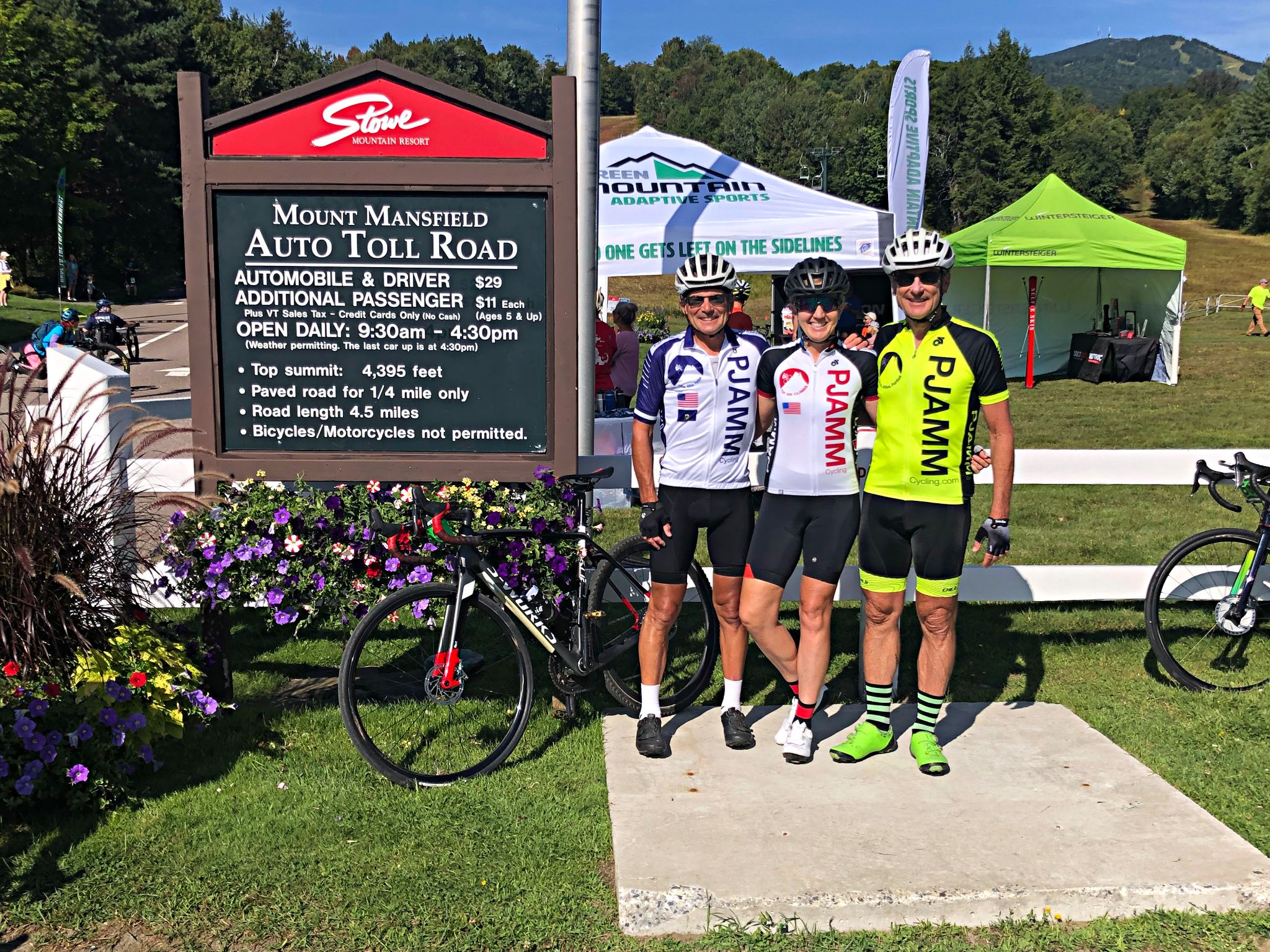
Page Contributor(s): Drew Bressem, Southwick, MA; Bruce and Stacy Topping, Midway, UT; Bruce Pauly, Truckee, CA.
INTRO
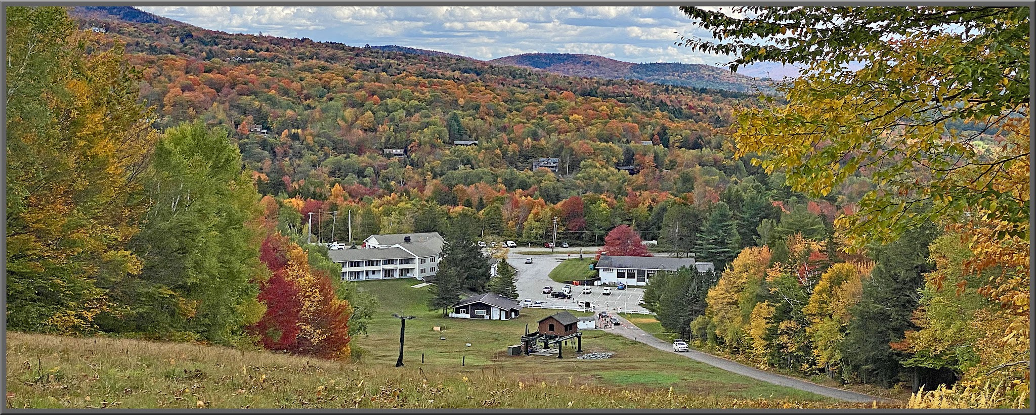
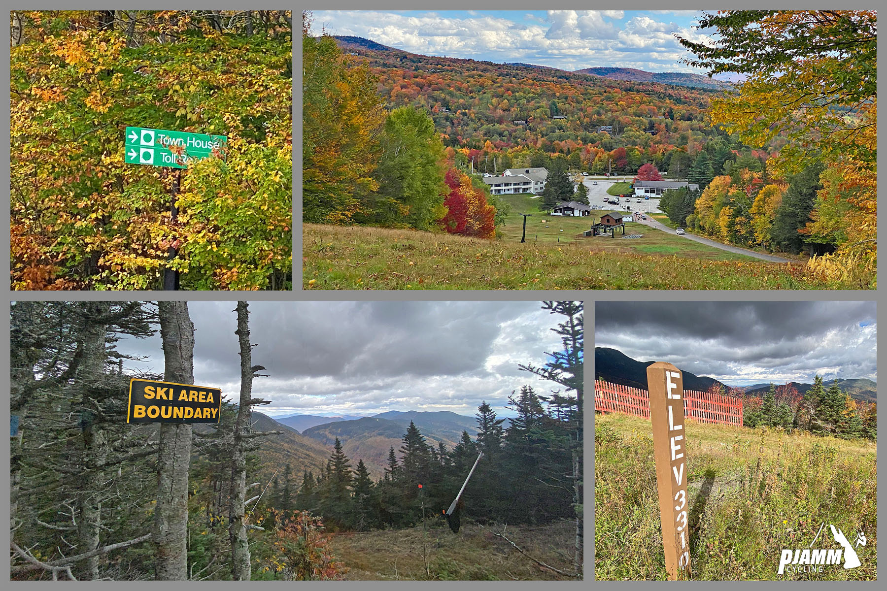
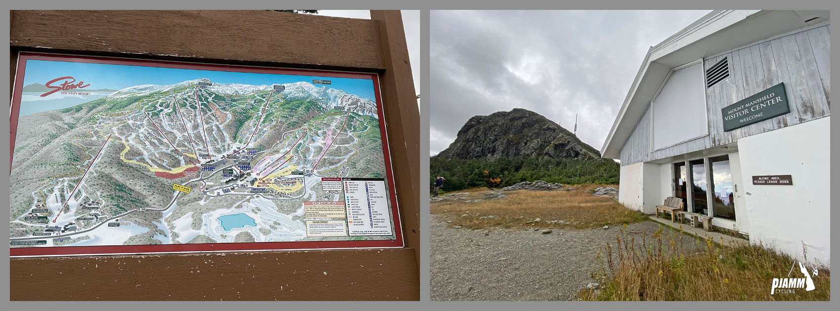
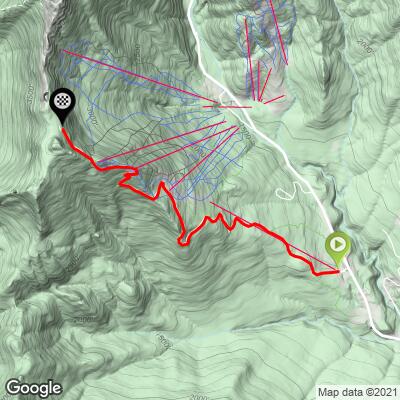
Mount Mansfield is Vermont's highest peak (4,395 feet), and its access road is the only place in the state to ride a bike to the top of it - just not on most days. The Toll Road climbs 4.2 miles and 2,506 feet at an 11.4% average grade through Mount Mansfield State Forest, starting a few miles north of Stowe within Stowe Mountain Resort.
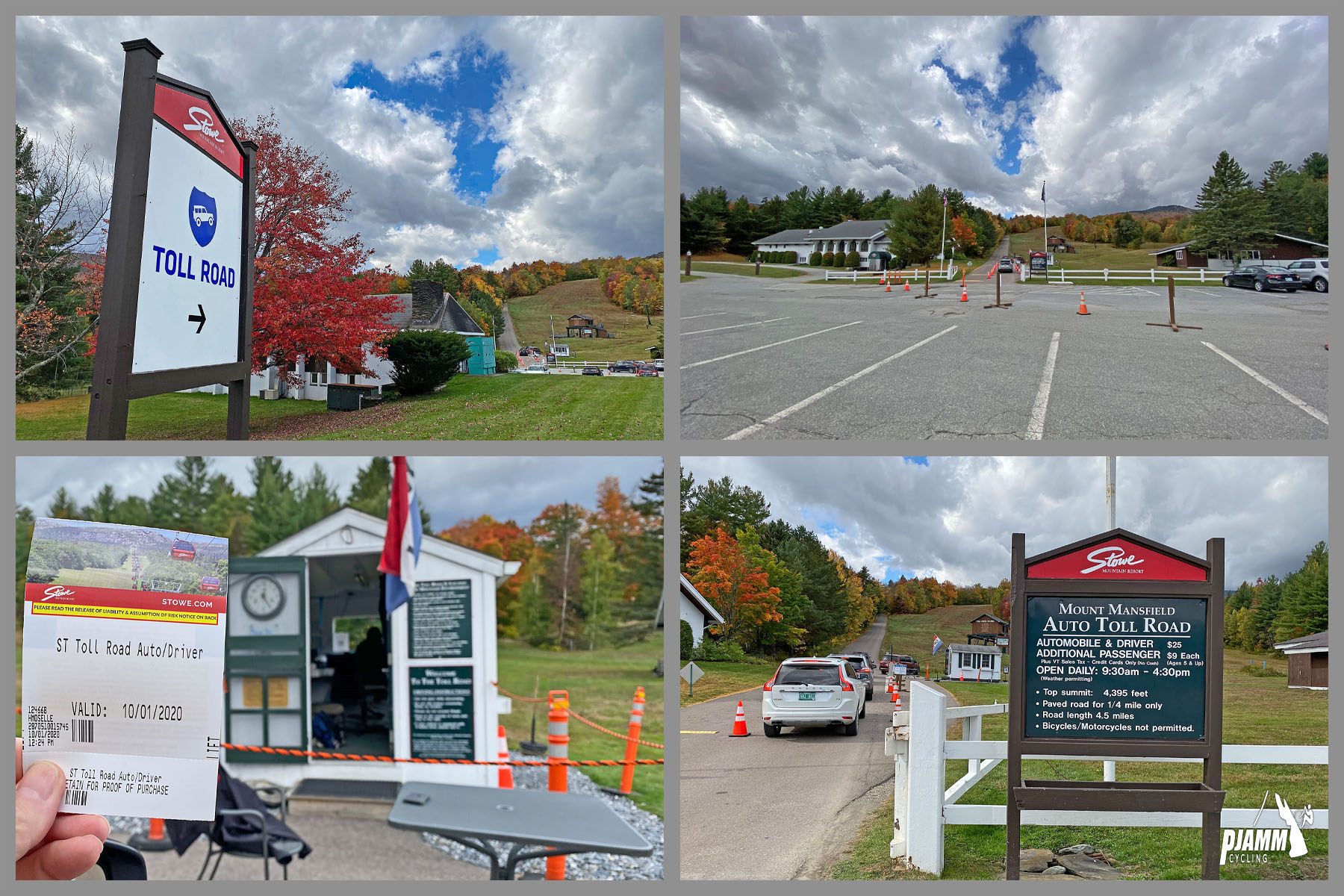
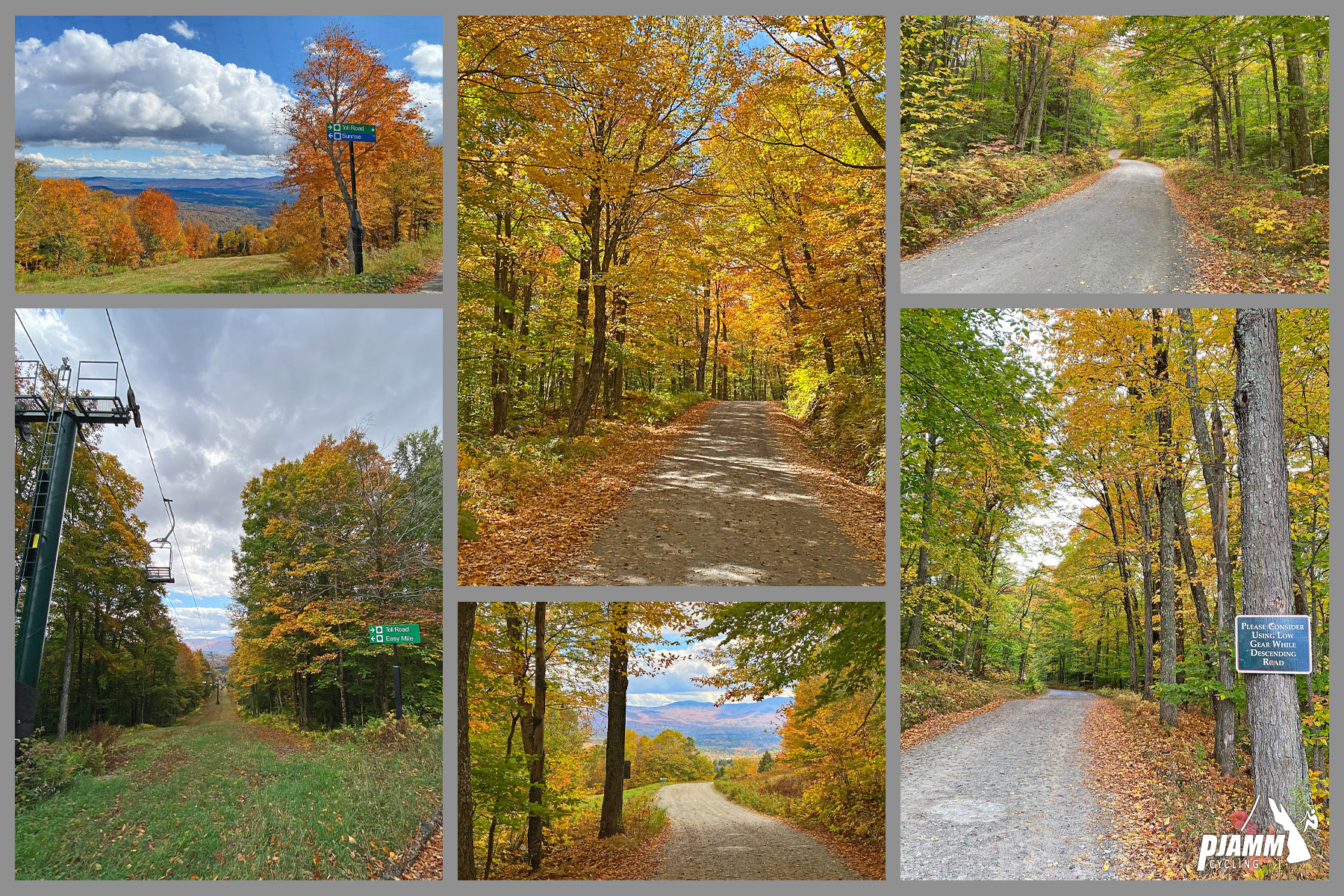
The road is a privately-operated toll road open to cars all summer, but bikes are allowed exactly one day a year, during the Race to the Top of Vermont - there's no other legal way to ride it. The first quarter mile out of the gatehouse is paved, then the road turns to rough, hard-packed dirt the rest of the way, with several stretches where the grade eases enough to recover before the next pitch. It's not as long or as hard as Mount Washington's Auto Road - a similar one-day, private-toll-road climb held around the same time of year - but the loose surface makes for a different kind of difficulty, and a genuinely tough day in wet weather.
The payoff is real: sweeping views across the Green Mountains from above treeline, and a fully car-free mountain road for the length of the event. Because access is this restricted, it stays a comparatively small event despite how good the climb itself is - worth building a trip around if you can get a registration.
PLAN YOUR ROUTE
 We've partnered with Sherpa-Map.com to bring you the best route planning tool. With a PRO Membership you can use this climb as a reference when creating your route.
 The average grade is 11.4% over 4.2 miles, gaining 2,506 feet. About 47% of the climb sits at 10-15% grade and another 12% is at 15-20%, with roughly 1.4% of the distance at 20% or steeper. The steepest quarter mile comes in at 16% and the steepest full mile averages 13.2% - there are a few stretches where the grade eases enough to recover, but nothing that could be called flat.
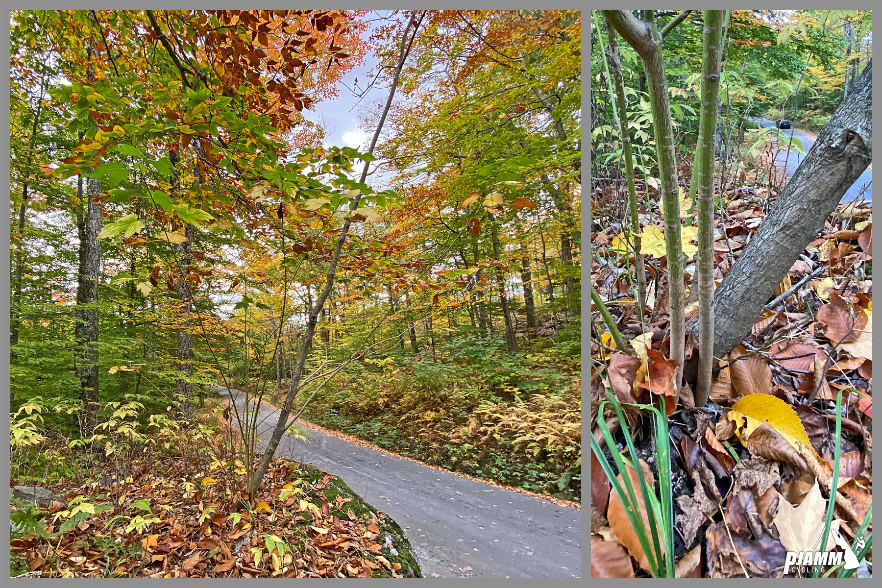
Roadway: Race day aside, this is a private, paid auto toll road through Stowe Mountain Resort - cyclists get exactly one day of access a year, during the Race to the Top of Vermont, and on every other day the road is open to cars only, not bikes. The first quarter mile out of the gatehouse is paved, then the surface changes to rough, hard-packed dirt and gravel the rest of the way to the summit. The event's own rules call for gravel or knobby tires and reserve the right to turn back road-tire entrants, though actual grip on the day depends heavily on recent weather - dry, dusty stretches and damp, shaded stretches can both get slick.
Traffic: None on race day - the toll road is fully closed to cars while the event runs. On the descent, riders follow a pace car that leaves the summit every 20 minutes rather than descending freely at will.
Parking: Park at the main or overflow lot near the toll road entrance/gatehouse on the Mountain Road (VT-108) side of Stowe Mountain Resort - both lots are part of the event's normal race-day logistics.
Provisions: There's no on-course food or water beyond the event's own aid stations on race day, and nothing at all on this road any other day since it's closed to bikes - fuel up in Stowe before you start.
Gear: The event's own rules call for gravel or knobby tires and reserve the right to turn back entrants on road tires, and that's the right call in practice. The first quarter mile out of the gatehouse is paved, but the rest of the climb is rough, hard-packed dirt that turns slick in shaded or damp sections; one PJAMM contributor rode it on 30mm road tires and got away with it, but said conditions that day were right at the edge of rideable either wetter or drier. Drew Bressem, who's ridden it three times, uses a Cannondale Slate with 650x41mm Surly Knards and rates that setup best; 28-38mm gravel or cyclocross tires with some tread are common among other finishers. There's no shuttle down, so plan on descending your bike too - knobbies and disc brakes help on the way down as much as the way up.
Before heading out on any cycling adventure check out our Things to Bring on a Cycling Trip and use our interactive check list to ensure you don't forget anything.
Riding Mount Mansfield requires entering the Race to the Top of Vermont event - the toll road is open to cyclists on this one day a year, and there's no other legal way up by bike. Registration is worth locking in early since the field is limited; check the event's own site for the current date, which has landed in late August in recent years but can shift slightly from year to year. Many riders treat it as a bookend to Mount Washington's Auto Road race, held around the same time of year, since the two private-road climbs pair naturally into one New England trip. Stowe itself is a full-service resort town at the base of the mountain and a comfortable place to stay for race weekend. Use our Routes in the Area tool to see what else is worth riding nearby if you're making a longer trip of it.
ROUTE MAP
MEMBER RATING
CURRENT WEATHER
PJAMM TRIPS ADVENTURE STARTER BUNDLES
Check out PJAMM Adventure's prepackaged (self-guided) cycling trips. They will help you plan, document and conquer your next adventure.
NEARBY CLIMBS (0) RADIAL PROXIMITY
FROM No Climbs Found
MEMBER REVIEWS & COMMENTS
Let us know what you thought of this climb. Signup for our FREE membership to write a review or post a comment.
Already have an account?
LOG IN HERE