33.9
PDI
28.4 mi
DISTANCE
7,184 ft
GAINED
4.1 %
AVG. GRADE
FULL CLIMB STATS
Page Contributor(s): Ron Hawks, Las Vegas, Nevada, USA
INTRO
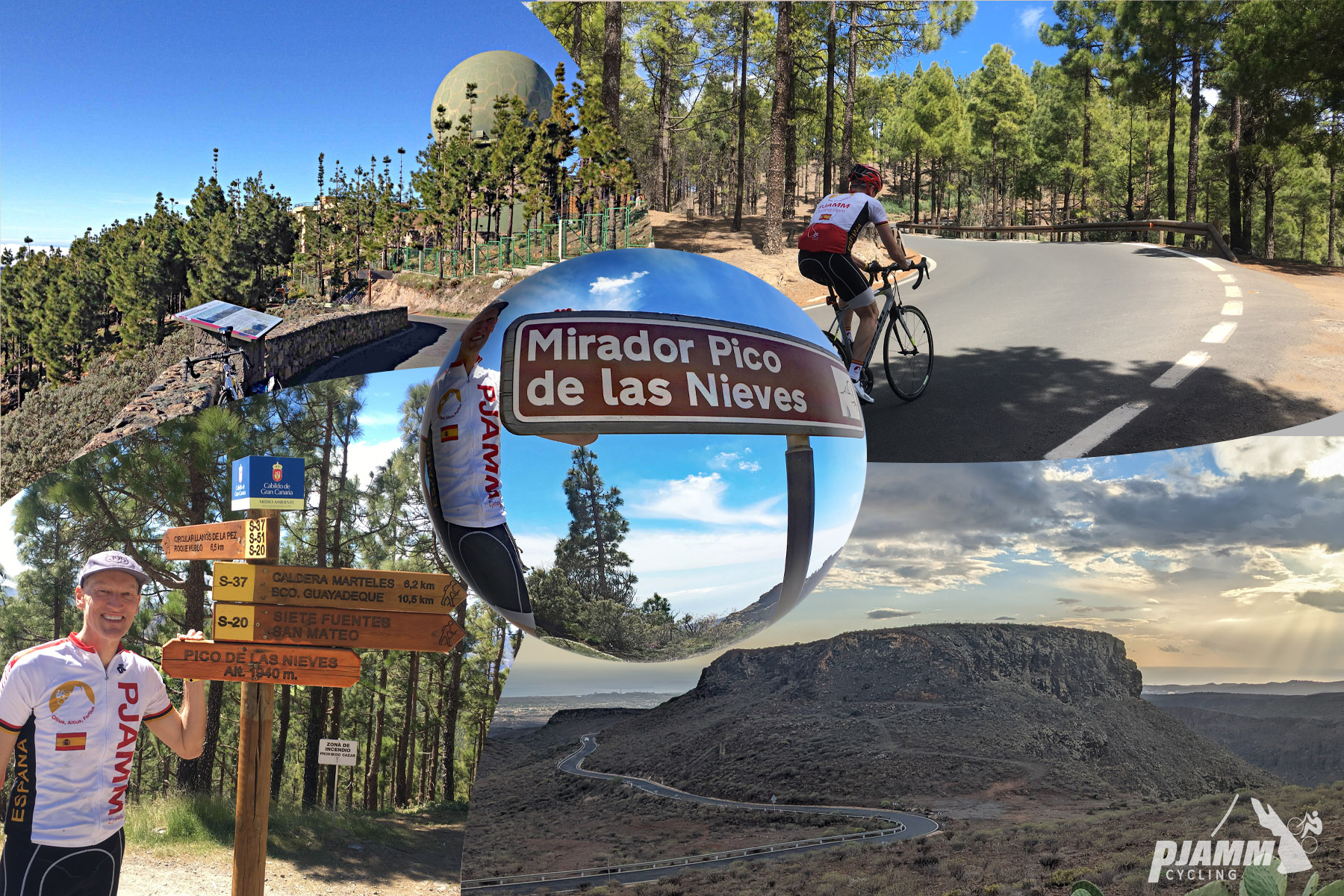
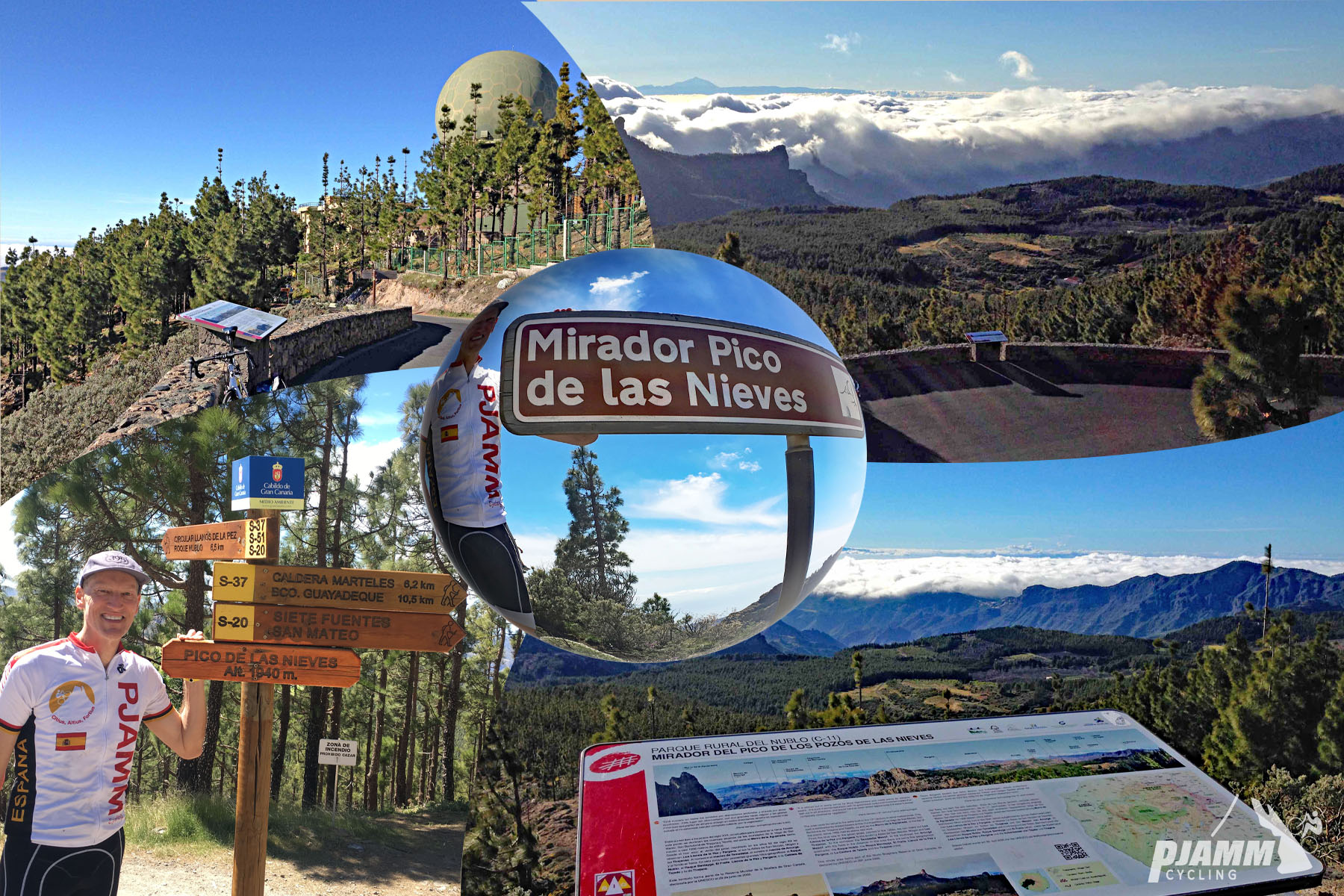
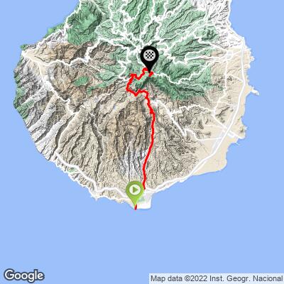
This is the southernmost of several ways up to Pico de las Nieves, Gran Canaria's high point, the most popular, and the longest. Starting near sea level in Maspalomas, it climbs 28.4 miles and gains 7,184 feet at a 4.1% average grade.
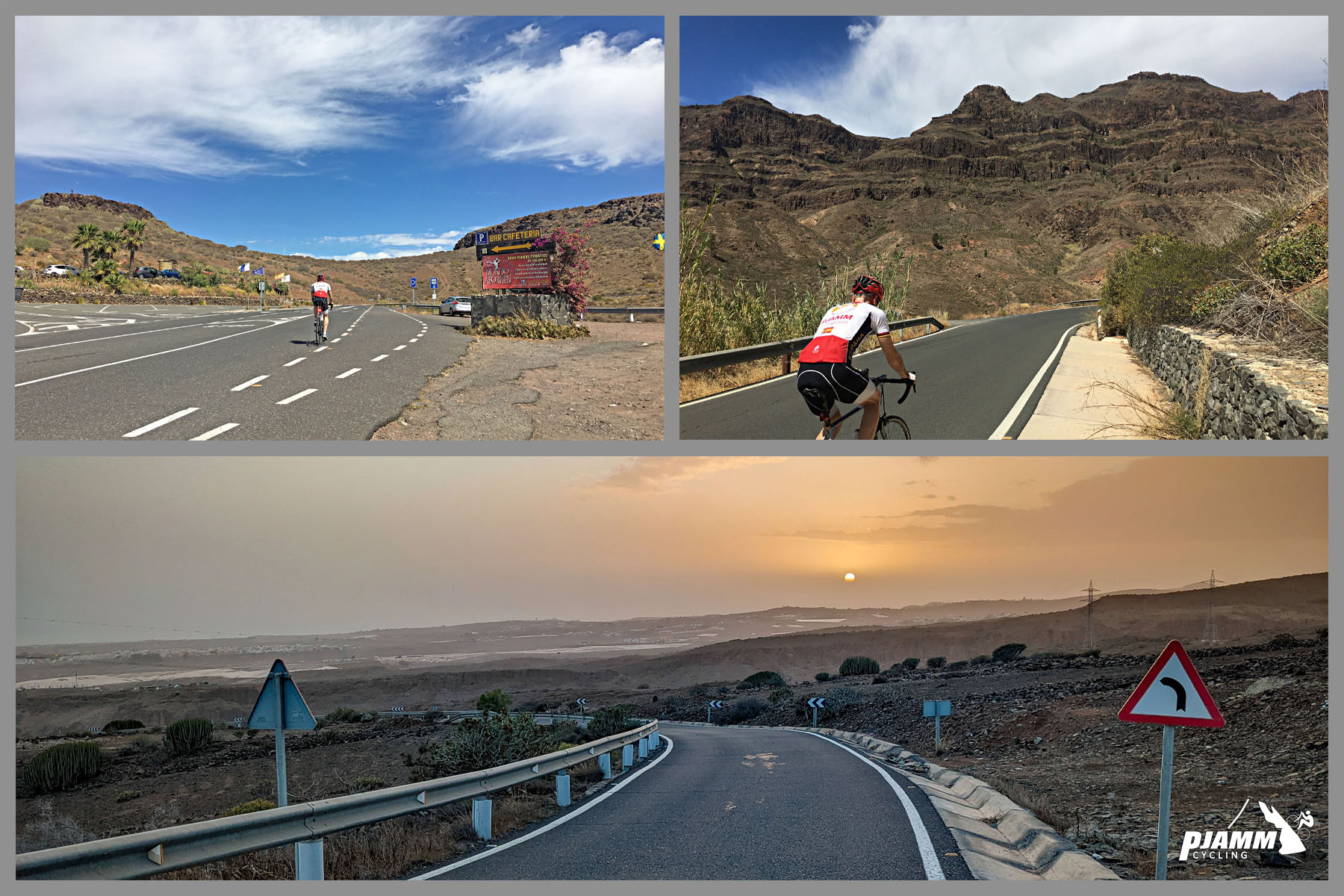
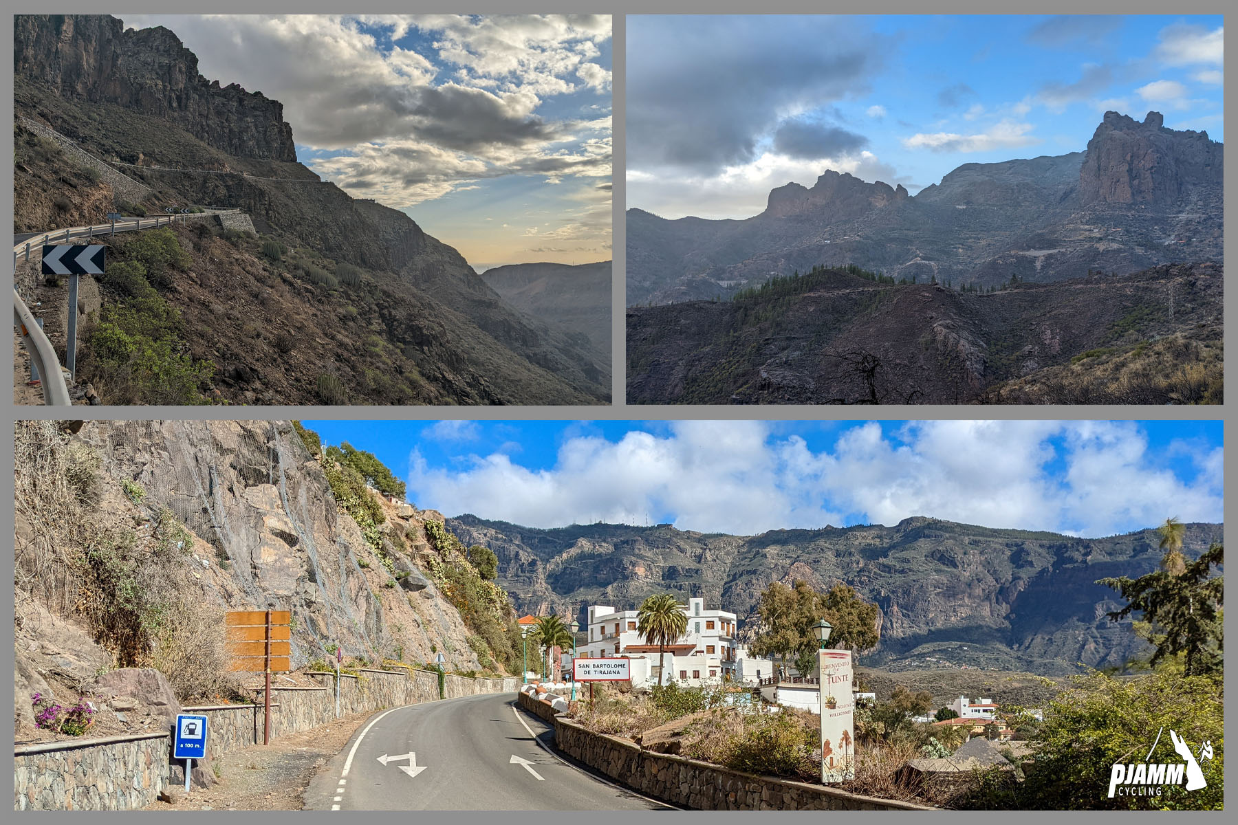
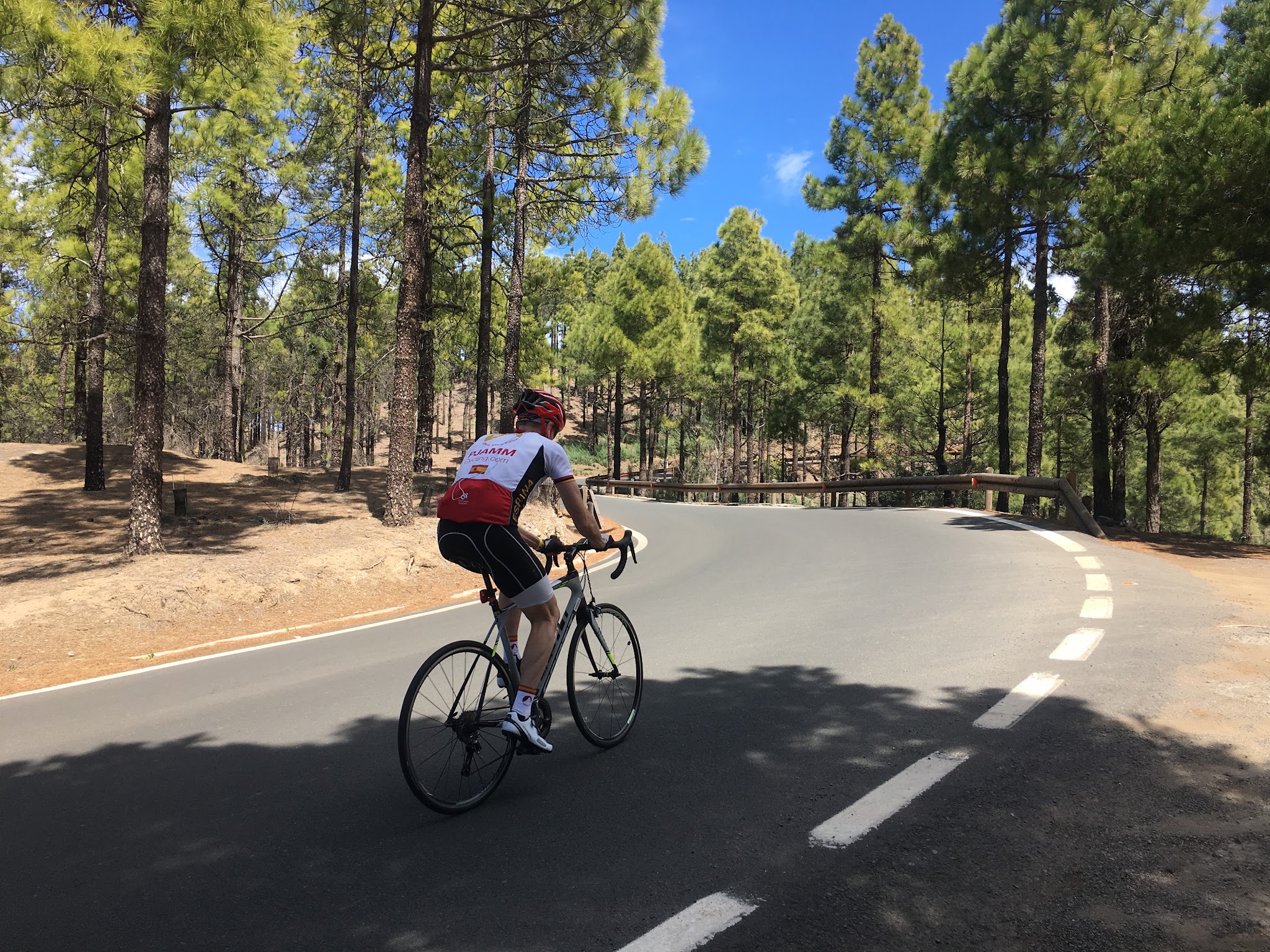
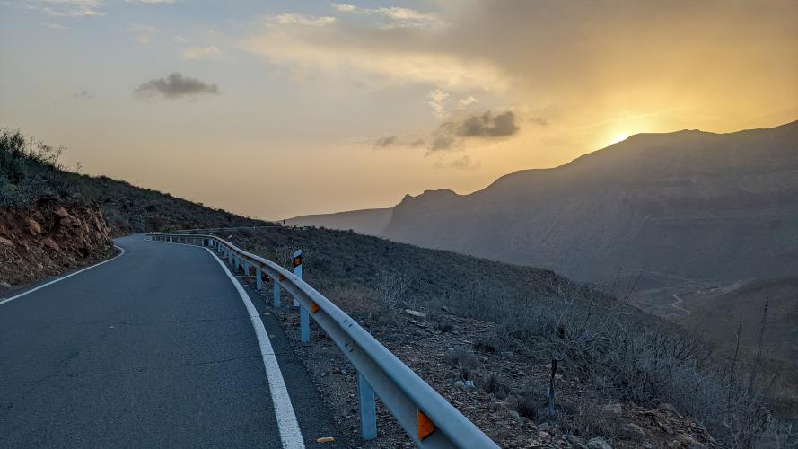
The ride starts in the middle of Maspalomas, a tourist town of roughly 36,000 people at Gran Canaria's southern tip, and the first few miles through town traffic are the most hectic part of the day. Once clear of the city on GC-60, the road opens into desert scenery on smooth pavement, climbing steadily with a few short descents mixed in - the back half of the route runs essentially uphill the whole way.
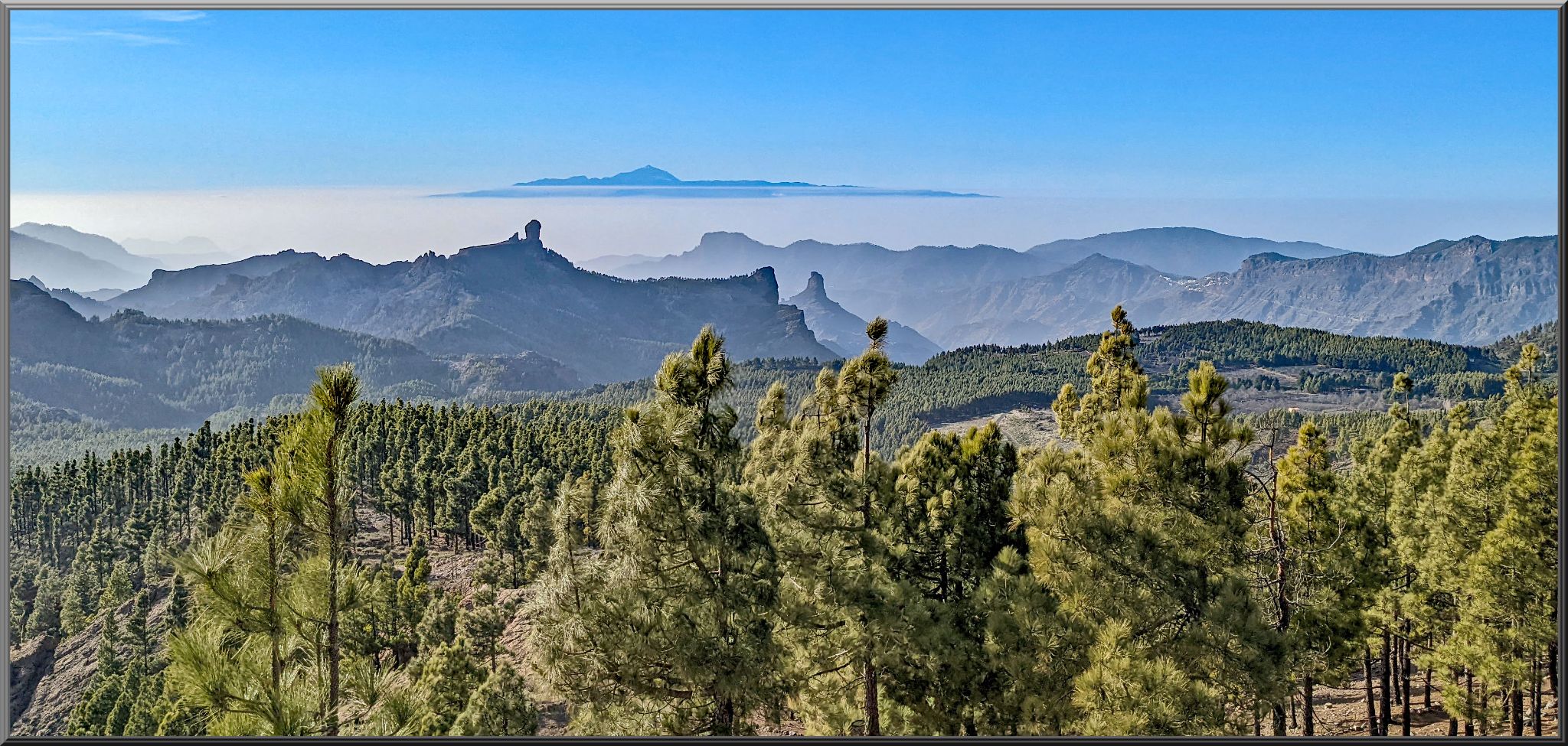
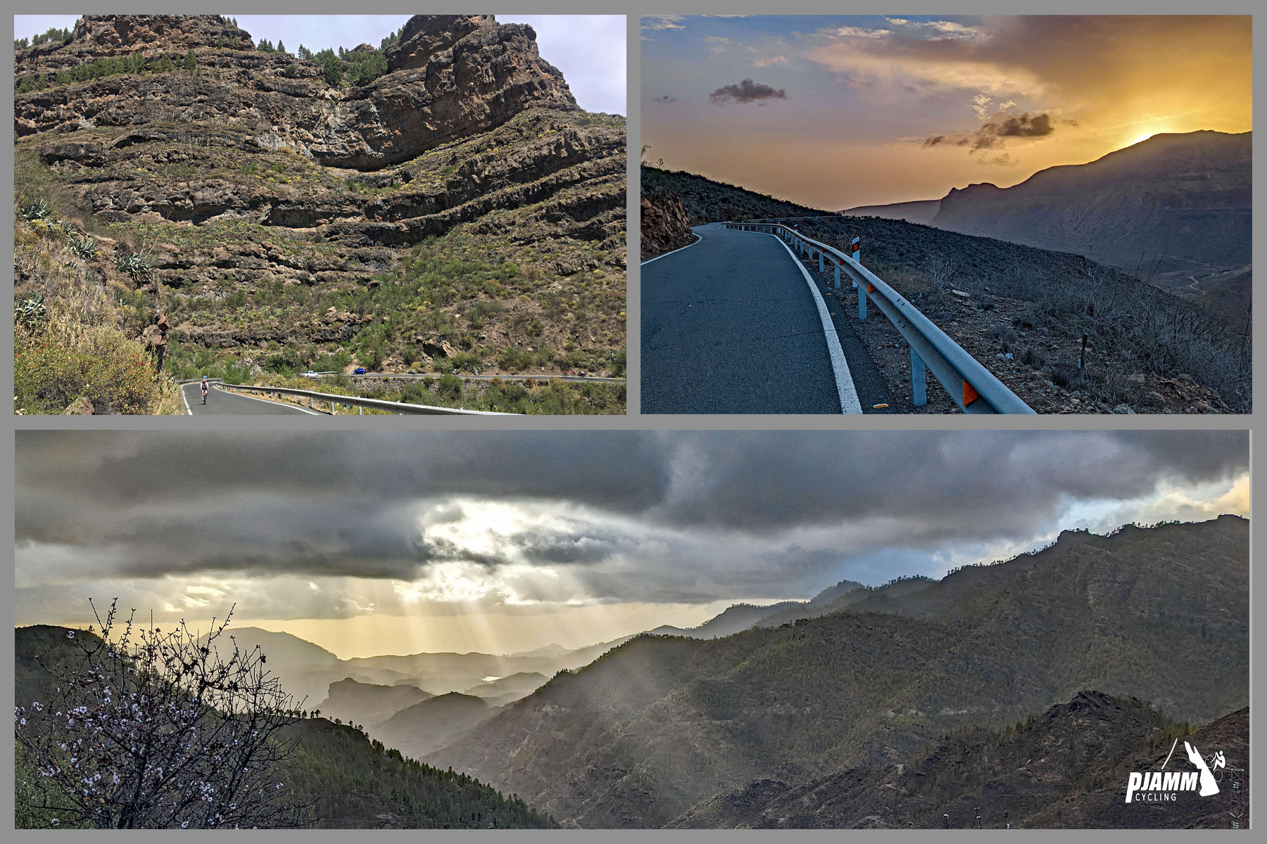
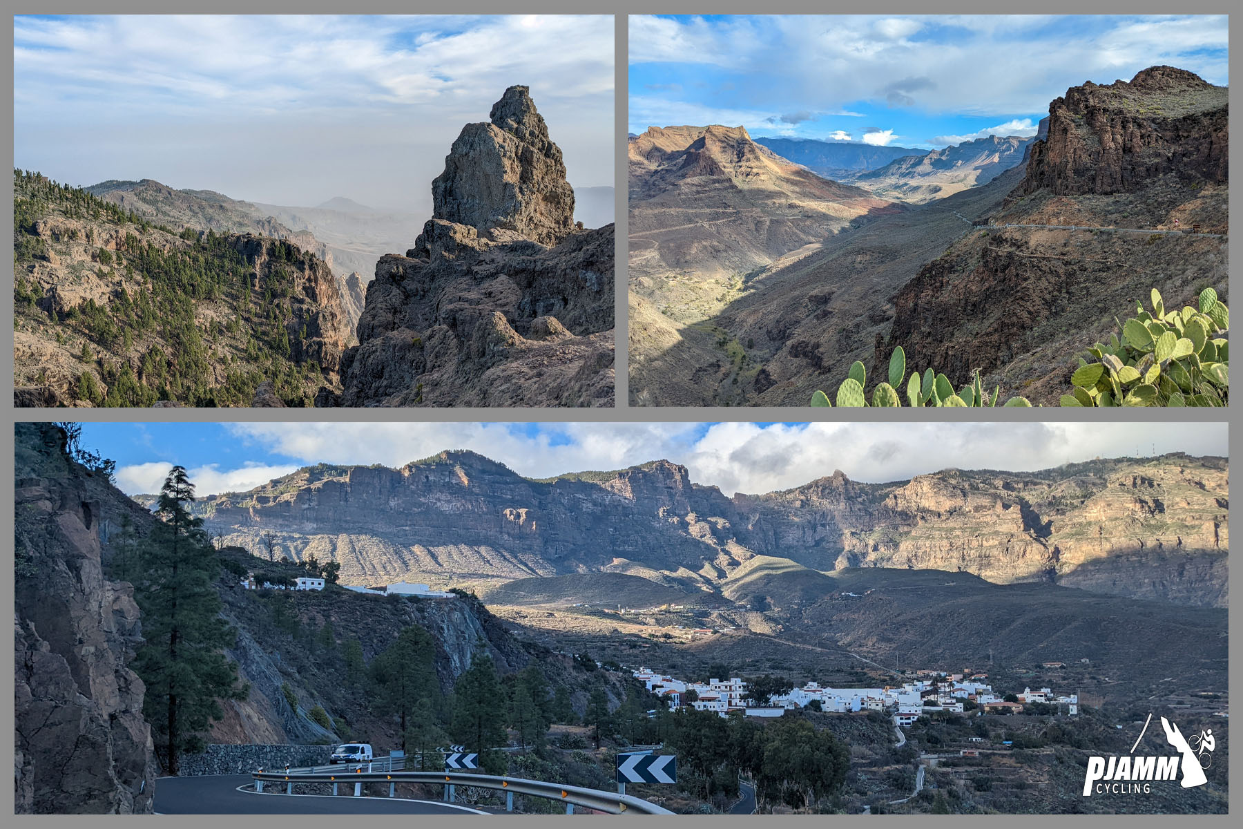
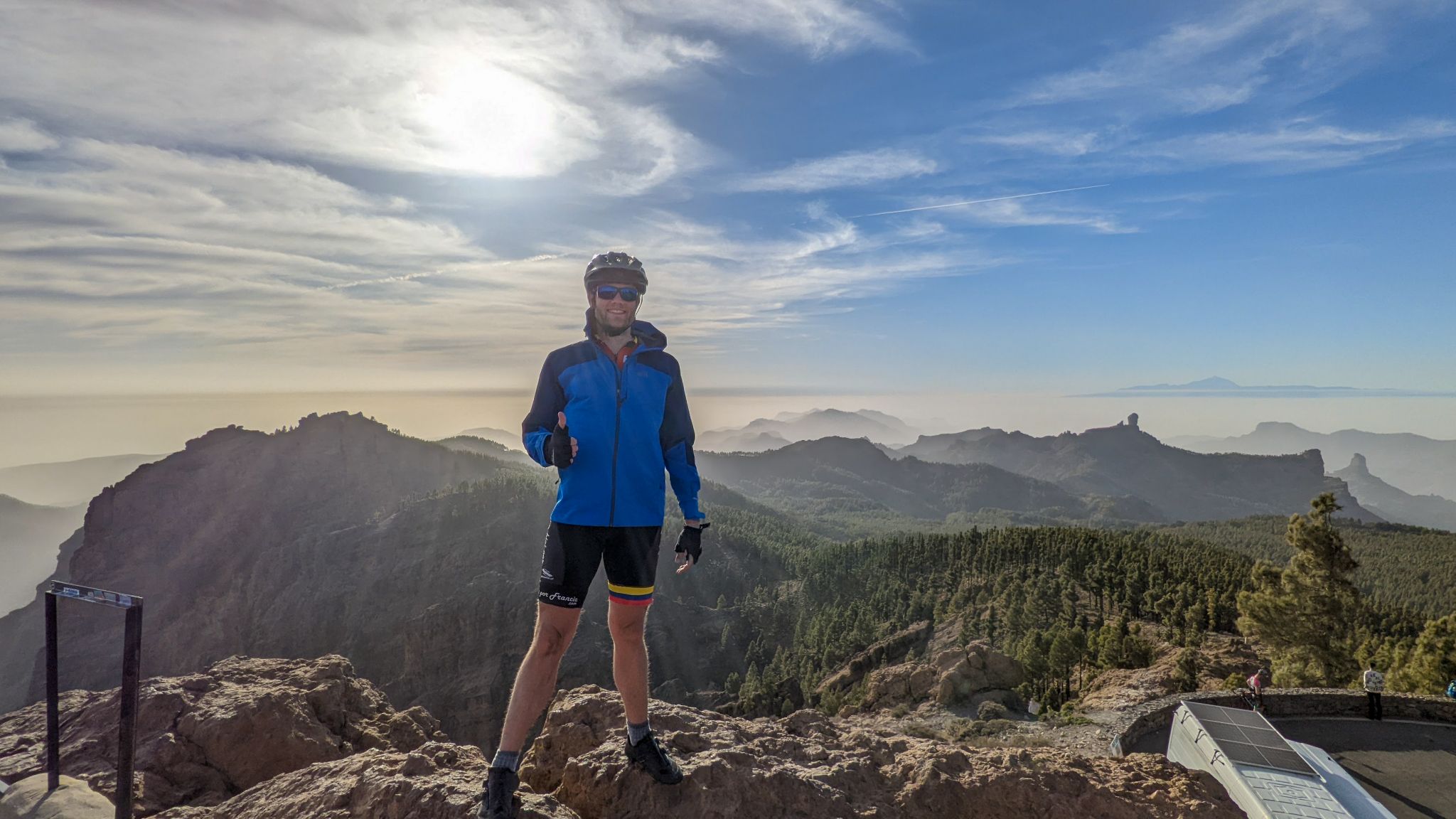
Around mile 22, near the village of Ayacata, the route turns north onto GC-600 and the character changes completely: the road roughens and the grade steepens as the landscape shifts from volcanic desert to pine forest. A few miles later, a turn east onto GC-130 brings good pavement back for the rest of the way, finishing with a short final stretch south on GC-134 to where the road ends near the summit viewpoint, with views of Tenerife on a clear day.
PLAN YOUR ROUTE
 We've partnered with Sherpa-Map.com to bring you the best route planning tool. With a PRO Membership you can use this climb as a reference when creating your route.
 The climb averages 4.1% over 28.4 miles, but the grade is far from constant. The early miles out of Maspalomas and the long desert run on GC-60 are gentle by comparison, with most of the real climbing packed into the back half. The steepest, most demanding section comes after Ayacata (around mile 22) on GC-600, where the grade steps up noticeably at the same point the road surface roughens - expect this final third to feel considerably harder than the overall average suggests, before the grade eases again on GC-130 near the top.
Roadway: The route is paved the entire way. GC-60 and the lower GC-600 toward Roque Nublo were resurfaced in 2024 and remain in very good condition. The road roughens on the short GC-600 stretch near Ayacata before the route turns onto GC-130, which is smooth the rest of the way to the top. Nearby, winter storm damage closed a different stretch of GC-600 (Ayacata toward Presa de las Niñas) for extensive repairs in early 2026, with reopening targeted for around August-September - this route doesn't take that fork, but it's a reminder that these mountain roads are exposed to storm damage, so check current conditions before a winter or early-spring visit.
Traffic: Busy and a bit chaotic through Maspalomas itself for the first couple of miles, easing once you're clear of town and onto GC-60. Traffic stays light to moderate the rest of the way, with more vehicles near the summit viewpoint on weekends when sightseers drive up for the views.
Parking: The climb starts at the roundabout at Plaza del Faro, next to the Maspalomas Lighthouse (Faro de Maspalomas), a 19th-century lighthouse with a free small museum at its base and pay parking nearby along Avenida Cristóbal Colón - an easy spot to leave a car before setting out.
Maspalomas and the resort area at the start have full services - bike shops, cafes, and grocery stores. Once you're through town there's little until the summit, where food and drinks are sold at the top, so carry enough water and food for the several hours in between, especially through the exposed desert miles before Ayacata. Gran Canaria's central highlands sit well above the coast, so pack a light layer for the descent - it's noticeably cooler and windier at the summit plateau than at sea level in Maspalomas.
Before heading out on any cycling adventure check out our Things to Bring on a Cycling Trip and use our interactive check list to ensure you don't forget anything.
Maspalomas is Gran Canaria's main resort town, with the famous Maspalomas Dunes and Playa del Inglés beach right at the start of the ride - a good base if you're combining cycling with a beach vacation, since it has by far the widest range of hotels, restaurants, and bike rental/repair shops of any town at the base of Pico de las Nieves' several approaches. Gran Canaria Airport is about a 25-minute drive away.
However - our favorite place to stay is the Parador de Cruz de Tejeda, sitting at around 5,000ft above sea level. Exceptional views, food, and the perfect staging point if you want to ride any side of the island from your hotel door without having a day with 15,000ft of climbing!
This is the longest and most varied of the routes up to Pico de las Nieves - desert lowlands, pine forest, and high plateau all in one ride - so budget a full day and start early to beat both the midday heat on the lower miles and the afternoon cloud that regularly builds over the summit. Because conditions at nearly 2000 meters can differ sharply from the coast, check current conditions before you go with our Weather tool.
ROUTE MAP
MEMBER RATING
CURRENT WEATHER
PJAMM TRIPS ADVENTURE STARTER BUNDLES
Check out PJAMM Adventure's prepackaged (self-guided) cycling trips. They will help you plan, document and conquer your next adventure.
NEARBY CLIMBS (0) RADIAL PROXIMITY
FROM No Climbs Found
MEMBER REVIEWS & COMMENTS
Let us know what you thought of this climb. Signup for our FREE membership to write a review or post a comment.
Already have an account?
LOG IN HERE