Col du Grand St. Bernard Bike Climb - PJAMM Cycling

29.1
PDI
15.6 mi
DISTANCE
4,893 ft
GAINED
6 %
AVG. GRADE

FULL CLIMB STATS

Page Contributor(s): Ard Oostra, Switzerland

INTRO

Col du Grand St. Bernard (Great St. Bernard Pass) is the third-highest road pass in Switzerland, connecting Martigny in the canton of Valais with Aosta, Italy. This Swiss-side route climbs 25.1 km (15.6 mi) from Orsières, gaining 1,492 m (4,893 ft) at a 6.0% average grade to the pass at 2,339 m (7,672 ft). The pass has been crossed for centuries - Julius Caesar's commander Servius Galba attempted to seize it in 57 BC, and Napoleon Bonaparte marched 40,000 men over it in May 1800. A hospice built in 1049 by Saint Bernard of Menthon gave the pass, and later the famous rescue dog breed, its name. The Tour de France has crossed the pass five times. A road tunnel opened in 1964 gives year-round passage beneath the pass, while the high mountain road itself is normally closed by snow from October into May or June and used today mainly for recreation. Two tunnels along the Swiss approach - one six km long - carry cyclists through lit galleries rather than out in the open, but a turnoff before the final, truck-prohibited tunnel leads onto the old road for a magnificent, traffic-free final six km to the summit. The pass had a later-than-usual opening in 2026 after avalanche damage on the Italian side pushed the full crossing's reopening to June 22, though the Swiss side opened to traffic on May 29 - with three preceding days reserved exclusively for cyclists, a practice Valais repeats at several of its high passes each spring. Check current status before planning a shoulder-season ride.

PLAN YOUR ROUTE

We've partnered with Sherpa-Map.com to bring you the best route planning tool. With a PRO Membership you can use this climb as a reference when creating your route.
6% average grade.  68% of the climb is at 5-10%.  The steepest 500 meters of the climb is 9.7%, and steepest kilometer is 9.4%.

See more details and tools regarding this climb's grade via the “Profile Tool” button.
Roadway:  Two lanes in good condition with minimal to no shoulder. Before the final tunnel (closed to cyclists), a turn leads onto the old road for the last six km to the top - traffic-free and, by far, the best part of the ride. Two lengthy tunnels lower on the climb (one six km long) are open to cyclists via lit galleries. The high pass itself is seasonal - it typically opens between late May and late June and closes again with the first snow, and 2026 saw a later opening than usual after avalanche damage on the Italian side; confirm current status before a shoulder-season trip.

Traffic:  Moderate, including trucks, until the turnoff to the old road at kilometer 18.7 - after that, no trucks are permitted and traffic drops away for a quiet finish.

Parking:  A small parking area sits just off the highway, about 450 meters before the climb start (Map; Street View), or use the parking lot in Orsieres adjacent to the climb start (Map).
Provisions:  There are a couple of cafes in Orsières at the base of the climb, but nothing reliable once you're on the mountain until the hospice near the summit.

Lights:  Bring a tail light for the tunnels lower on the climb.
Before heading out on any cycling adventure check out our Things to Bring on a Cycling Trip and use our interactive check list to ensure you don't forget anything.
Orsières and the wider Val d'Entremont sit in one of the greatest cycling regions in the world - see our Valais, Switzerland climb area page for more on climbing here, and use the Routes in the Area tool to find other nearby bike climbs. Bourg-Saint-Pierre, the last village before the road climbs in earnest, is worth a stop for its historic character and views back down the valley. On the Italian side, the hospice at the summit and the small village of Saint-Rhémy-en-Bosses make for a worthwhile destination if you're continuing over the top rather than turning around at the pass.

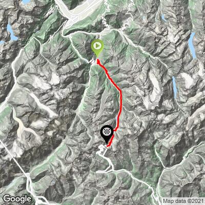
ROUTE MAP
MEMBER RATING

Not Yet Rated
-
Road
-
Traffic
-
Scenery

CURRENT WEATHER

PJAMM TRIPS ADVENTURE STARTER BUNDLES

Check out PJAMM Adventure's prepackaged (self-guided) cycling trips. They will help you plan, document and conquer your next adventure.
ALL TRIPS
Browse all of our prepackaged trips and find your next adventure!

NEARBY CLIMBS (0) RADIAL PROXIMITY

FROM
No Climbs Found

MEMBER REVIEWS & COMMENTS

Let us know what you thought of this climb. Signup for our FREE membership to write a review or post a comment.
Already have an account?
ROUTE MAP
PROFILE TOOL
Route Data
S.G. (%)
hide
Segment Data
hide
CLIMB SUMMARY

Cycling Col du Grand St. Bernard (Swiss side)

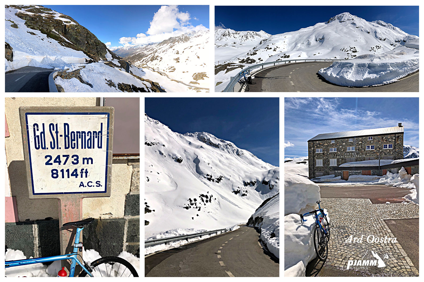
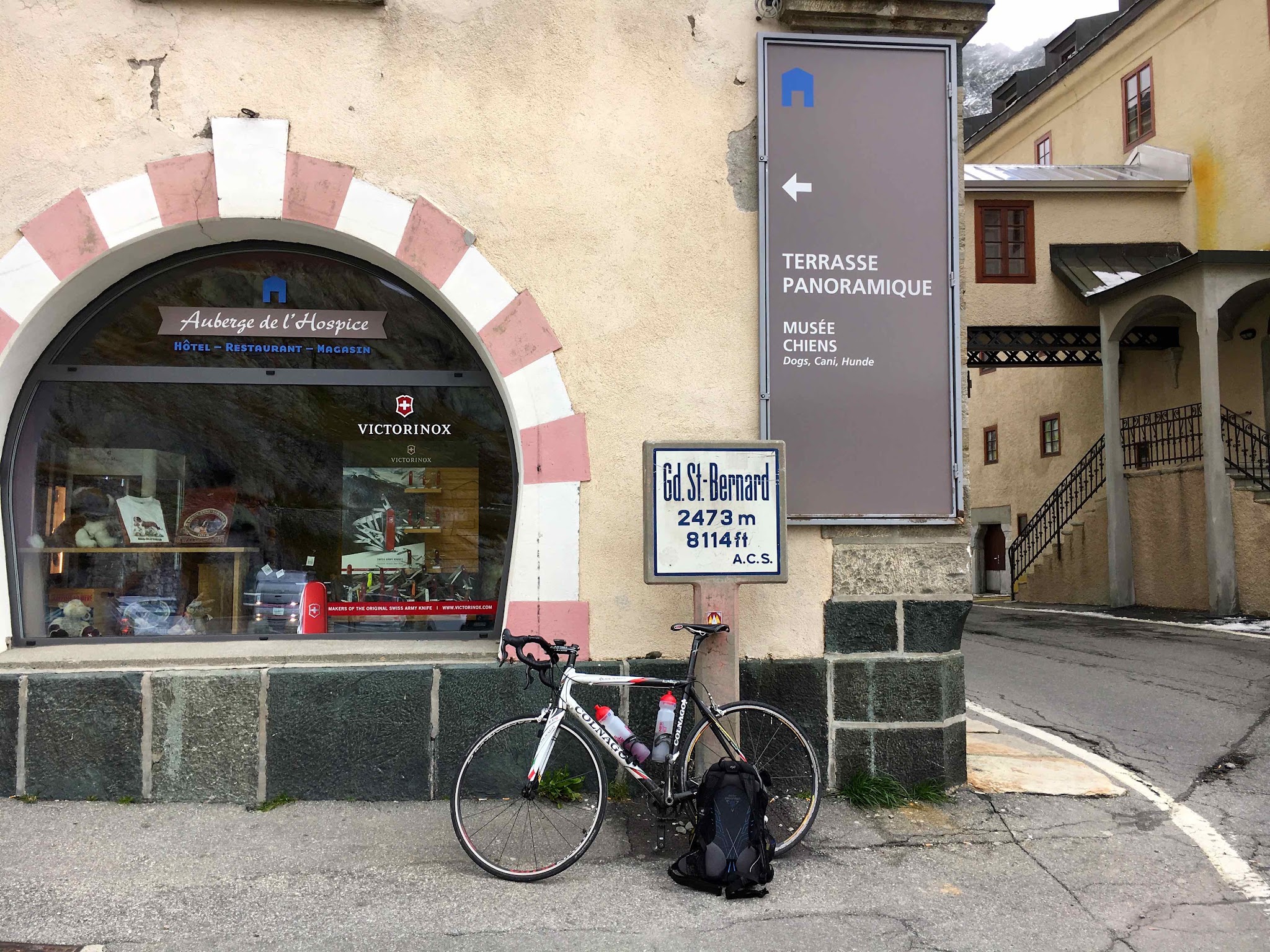
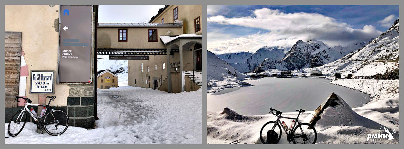
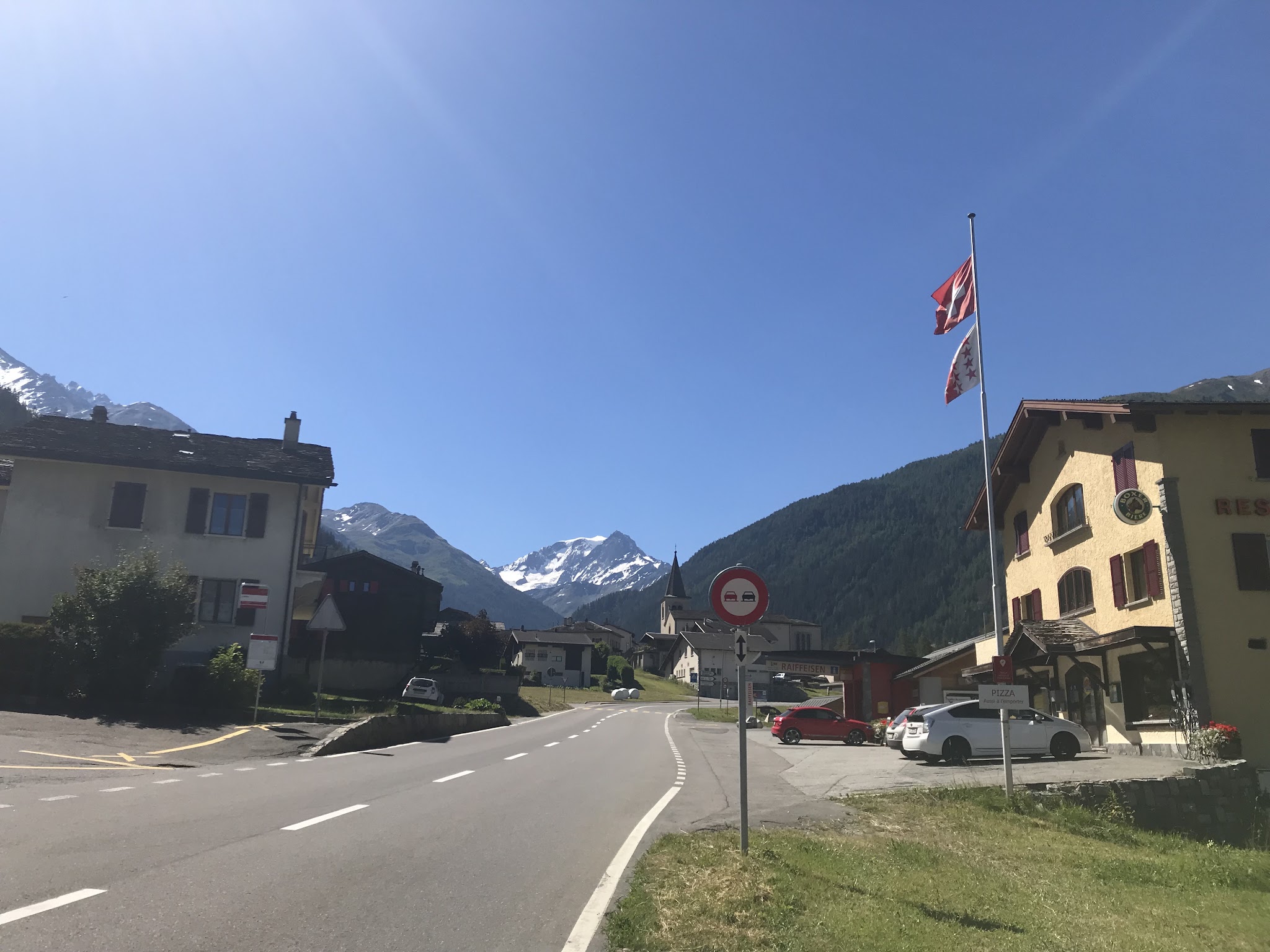
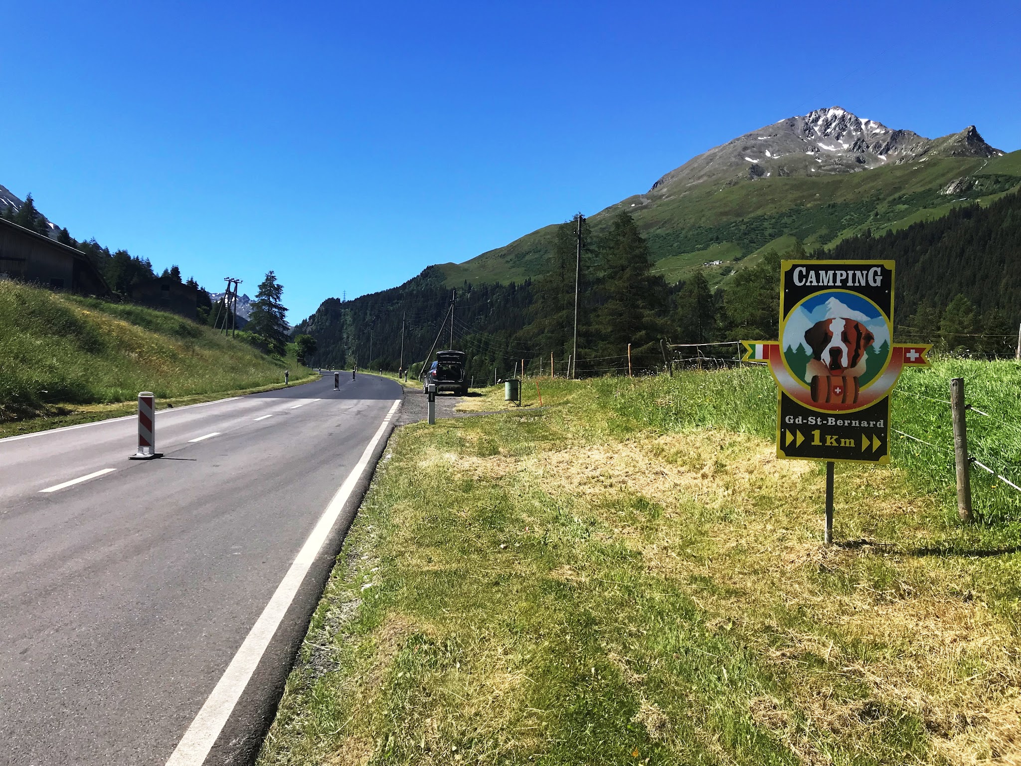
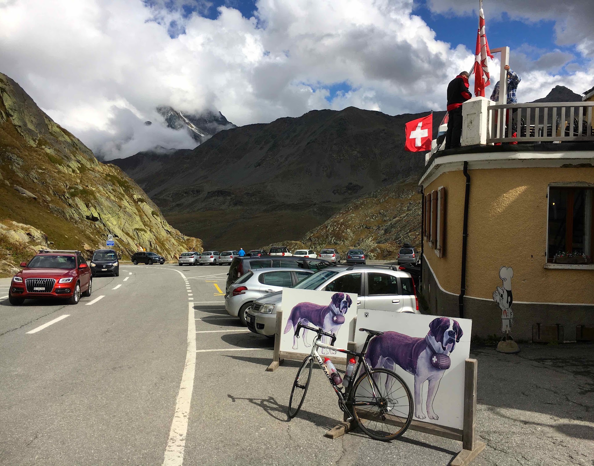
Photos by PJAMM Contributor Ard Oostra, Switzerland.

The Col

Great St. Bernard Pass Is the third highest road pass in Switzerland. It connects Martigny in the canton of Valais in Switzerland with Aosta in the region Aosta Valley in Italy. It is the lowest pass lying on the ridge between the two highest mountains of the Alps, Mont Blanc and Monte Rosa. The pass itself is located in Switzerland in the canton of Valais, very close to Italy.  Wikipedia - Great St Bernard Pass

This is a historical pass that dates back to well Before Common Era.  According to Wikipedia, the pass first appears in history in 390 BC when Celtic tribes of the Boii and Lingones used it to invade Italy.  Famous generals of note have used the pass for military purposes - one going north and the other south:

1.        First came Julius Caesar (or actually his top commander, Servius Galba) in 57 BC.  Galba having failed to seize the pass.  Augustus later succeeded in securing the pass for Rome and a road soon thereafter built under the direction of Roman Emperor Claudius.

2.        Next up - Napoleon from the north. In May, 1800, Napoleon Bonaparte sent 40,000 men over the pass to attack an Austrian army that had laid siege to French-occupied Genoa.  See, Wikipedia - Great St Bernard Pass

So to has the French Grand Tour passed over Colle del Gran San Bernardo 5 times in the past. Great St Bernard Pass 

It appears the pass name derives from the hospice for travellers constructed there in 1049 by, you guessed it Saint Bernard of Menthon.  So to does the name for the great snow rescue dog derive! Wikipedia - Great St Bernard Hospice

“Having been bypassed by easier and more practical routes, particularly the Great St Bernard Tunnel which opened in 1964, its value today is mainly historical and recreational.” Wikipedia

“The Great St Bernard Tunnel . . . is a road tunnel complementing the Great St Bernard Pass, linking Martigny (in the Swiss canton of Valais) with Saint-Rhémy-en-Bosses (in the Aosta Valley, in north western Italy). . . . For most of its 5,798-metre (6,341 yd) length the tunnel runs in a straight line, but incorporating a gentle slope. The northern end is 1,918 m (6,293 ft) above sea level while the southern end is only 1,875 m (6,152 ft) above sea level. . . .

Before the tunnel was constructed, the frontier was passable here only using the Great St Bernard Pass. The pass remains an option in summer, but is normally closed by snow between October and May, and sometimes for longer. The tunnel is intended to be usable for 365 days every year.” [Emphasis added;  Wikipedia - Great St Bernard Tunnel

Our Swiss friend from Montreux, Ard Oostra, writes:

“I climbed St Bernard pass many times in the last 20 years and always went through the tunnel.
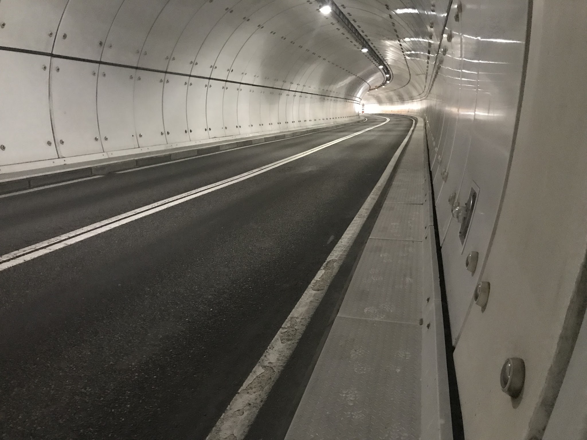
Since this road normally doesn't have much traffic and a large section is "galeries" (which means it is mostly open / windows on the right hand side when going uphill) instead of being a closed tunnel, I think that its doable.
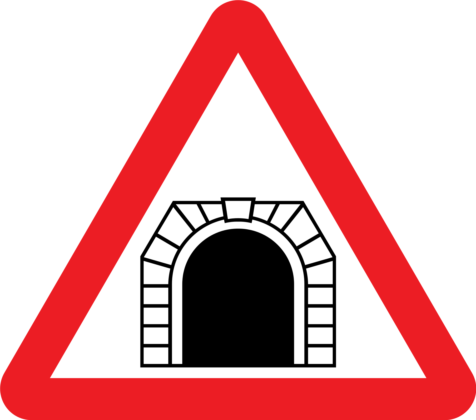
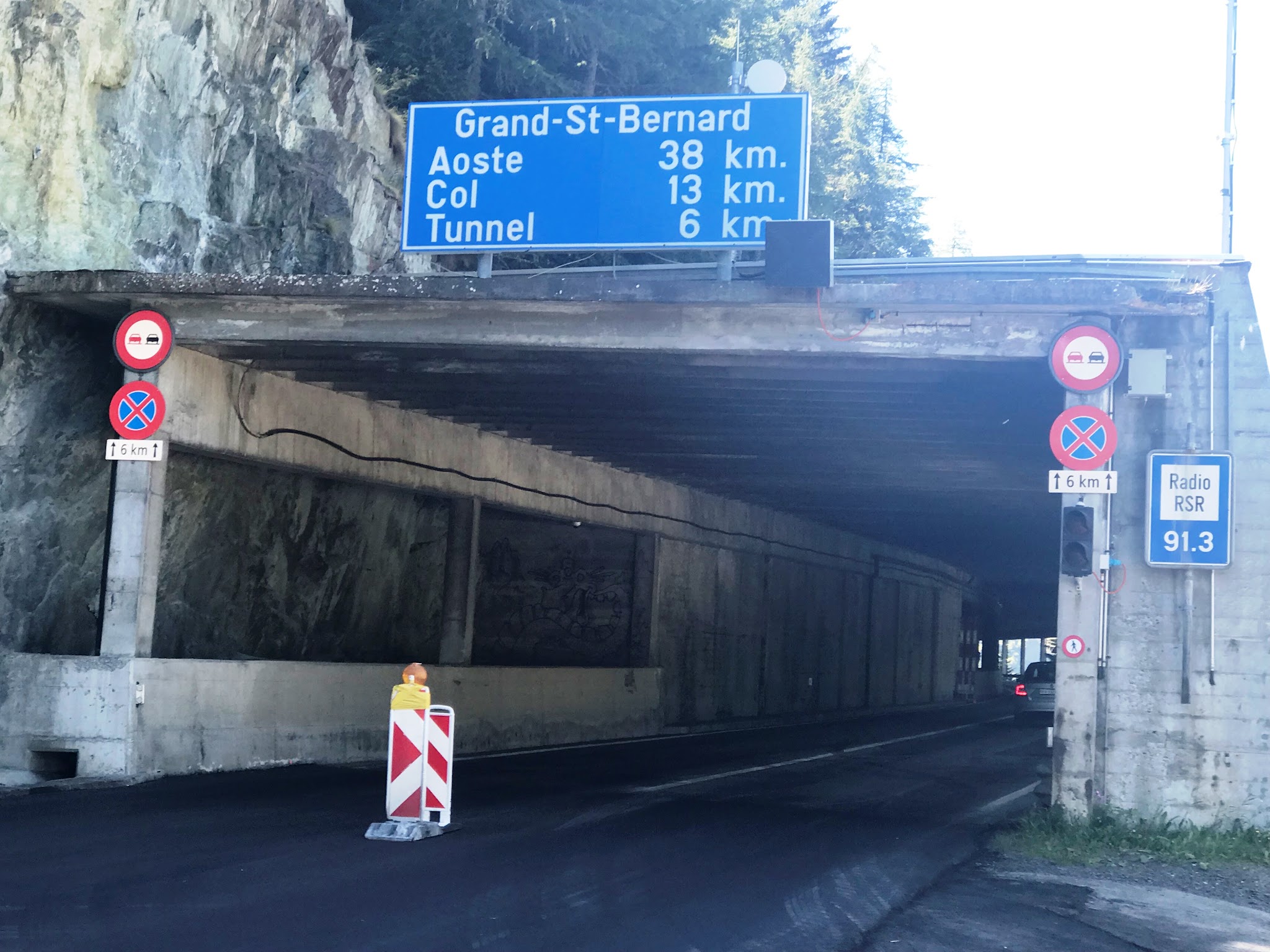
In fact going up from Martigny towards the Col there are three tunnels: The first one, prohibited in the uphill for cyclists, can be avoided by the external parallel road (some 800m long ?)

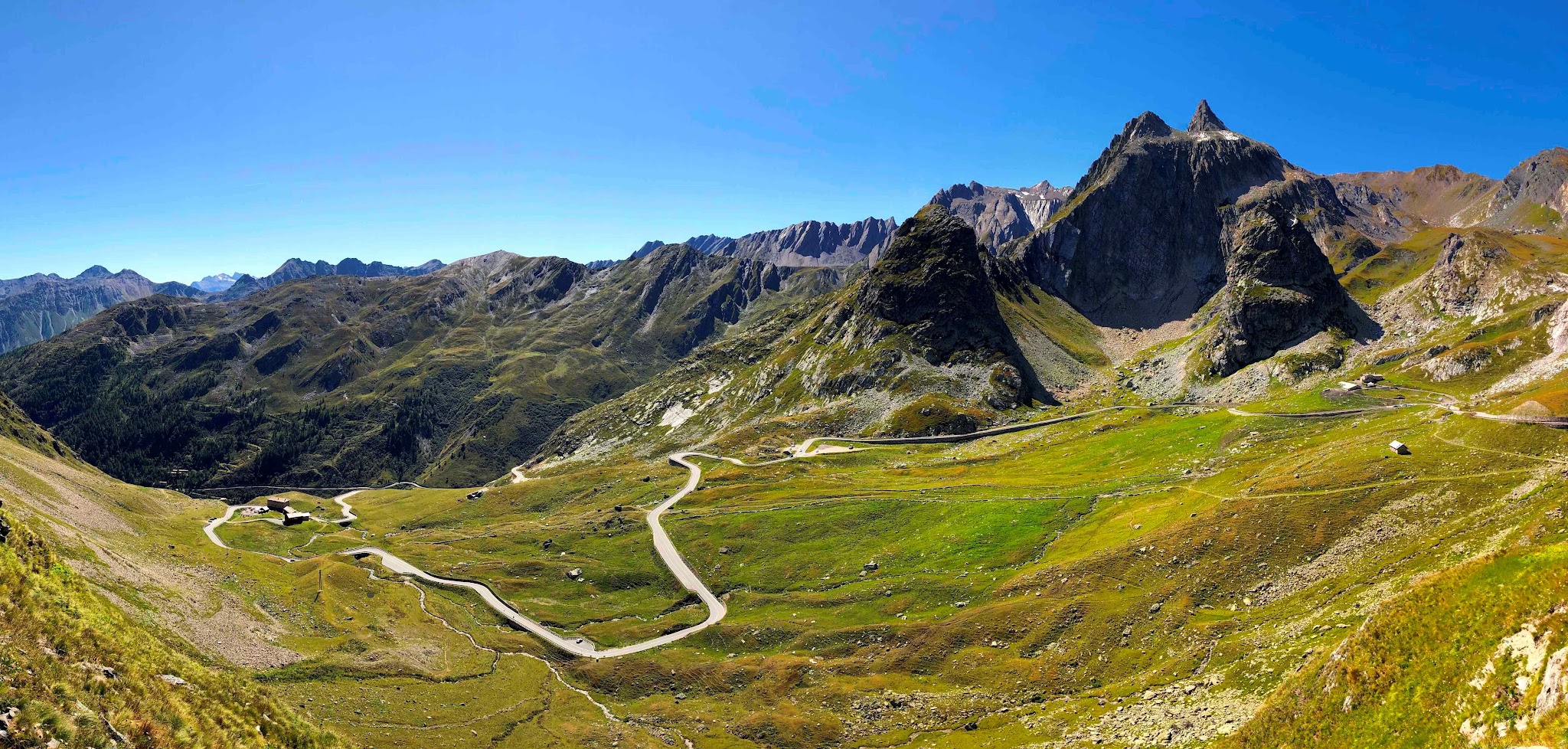
The second one is the 6km or so long tunnel-galerie section. Before you get from the second tunnel into the third tunnel which leads to the border and into Italy (the third tunnel is tollway and prohibited for cyclists) there is an exit in the second tunnel which leads you to the last 6 kms of open road towards the pass. In fact these last 6 kms are the most worthwhile and hardest.

So, I'm aware that there are roads along the (artificial) lake, but I never took them and don't know if they are asphalted or (partly) gravel. It could be a good alternative.

Maybe next May when the roads are open again I may have a look for you:-)”

Here is a potential route around the last tunnel:

  • At the tunnel - the 15 km mark (if coming from Orsières), turn right to take the Old Road around the tunnel and on the west side of Lac des Toules - here is the Old Road route, as best we can tell:  https://ridewithgps.com/routes/26647696 
  • From the “detour” the climb is 14.9 km / 1,073 m / 5.9%
  • The “detour” point appears to be where Will (Cycling Challenge) started his climb - see quote above.

Strava members regarding the route around the last tunnel:

Juan Manuel San Juan Hi John, The route is safe. Go up to the port by road avoiding the tunnel. We made the route with mountain bike. We had no problem. The bad weather forced us to ride more than half of the route by road. The weather is very changeable in the Alps. I send you the link of ET 5/7 and the complete Tour Mont Blanc & Grand Combin Greetings, and enjoy the route. JM https://es.wikiloc.com/rutas-mountain-bike/tour-mont-blanc-giro-grand-combin-etapa-5-7-27072016-14152601 https://es.wikiloc.com/rutas-mountain-bike/tour-mont-blanc-giro-grand-combin-julio-2016-14197204  

Yvan Vouillamoz Bonjour, oui par cette route vous évitez la galerie d’accès au col du Grand St-Bernard. C est un chemin pour VTT.   Hello, yes by this road you avoid the access gallery at the Grand St-Bernard pass. It is a path for mountain bikes.

Question - can it be ridden on cross or road bike with bigger tires?  Answer: Oui je pense, mais il y a des passages où il faut porter le vélo. Actuellement ça n est pas possible, route enneigée  Yes I think, but there are passages where you have to carry the bike. Currently it is not possible, snowy road

Diego Micheloud Bonjour John,l'ancienne route est parfaite en VTT ou en CX elle contourne le tunnel par le barrage,très belle option  .Hello John, the old road is perfect in mountain bike or CX it bypasses the tunnel by the dam, very nice option.

Thank you Ard!