Col du Lein North Bike Climb - PJAMM Cycling

10.7
FIETS
8.8 mi
DISTANCE
3,901 ft
GAINED
8.2 %
AVG. GRADE

FULL CLIMB STATS

INTRO

This 8.8 mile bike climb is located in Valais, Switzerland. The average gradient is 8.2% and there is a total elevation gain of 3,901 ft, finishing at 5,586 ft.

Use the profile tool, route map, and weather forecast to conquer this cycling climb.

See more details and tools regarding this climb's grade via our interactive Profile Tool.
Information Not Available

If you have any information regarding this climb, we'd like to hear from you. Click the CONTRIBUTE button to share your thoughts with us.

Information Not Available

If you have any information regarding this climb, we'd like to hear from you. Click the CONTRIBUTE button to share your thoughts with us.

Before heading out on any cycling adventure check out our Things to Bring on a Cycling Trip and use our interactive check list to ensure you don't forget anything.
Information Not Available

If you have any information regarding this climb, we'd like to hear from you. Click the CONTRIBUTE button to share your thoughts with us.

ROUTE MAP

MEMBER RATING

Not Yet Rated
-
Road
-
Traffic
-
Scenery

CURRENT WEATHER

PJAMM TRIPS ADVENTURE STARTER BUNDLES

Check out PJAMM Adventure's prepackaged (self-guided) cycling trips. They will help you plan, document and conquer your next adventure.
ALL TRIPS
Browse all of our prepackaged trips and find your next adventure!

NEARBY CLIMBS (0) RADIAL PROXIMITY

FROM
No Climbs Found

MEMBER REVIEWS & COMMENTS

Let us know what you thought of this climb. Signup for our FREE membership to write a review or post a comment.
Already have an account?
ROUTE MAP
PROFILE TOOL
Route Data
S.G. (%)
hide
Segment Data
hide

Climb Profile Not Found
CLIMB SUMMARY

Climb Summary


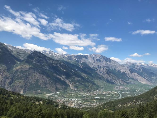
Photo by Olivier Bruchez 

Steepest kilometer starts at km 5.6 (10.1%)

PJAMM will document Col du Lein in August, 2018

Wikipedia - Col du Lein notes

“Lein Pass (also known as Lin Pass or Linen Pass ) is a pass of the Swiss Alps ( 1,658 meters ) connecting the villages of Saxon , in the plain of the Rhone to Levron , village of the municipality of Vollèges .

Historically, the Lein Pass has always been a place of passage. The Sembrancher - Levron - Saxon link was the shortest and safest way from Entremont to northern Italy in Upper Valais. Indeed, the bottleneck of the Trappists , between Sembrancher and Bovernier was not advisable.

The stone with bowls of the neck of Lein raised many questions as to its utility

The pasture of the lein pass receives livestock from the farmers of Levron during the summer.

A micro-power station was built at the Lein pass in 1997. This turbine blows water from Louvie, at the bottom of the Bagnes valley. This is the drinking water and irrigation water used by the municipality of Vollèges . The waterfall is 298.8 meters , the water flow is 0.18 cubic meters per second and the power is 470 kilowatts.” Wikipedia -
Col du Lein