32.1
PDI
27.4 mi
DISTANCE
6,680 ft
GAINED
4.4 %
AVG. GRADE
FULL CLIMB STATS
Page Contributor(s): Ron Hawks, Las Vegas, Nevada, USA
INTRO
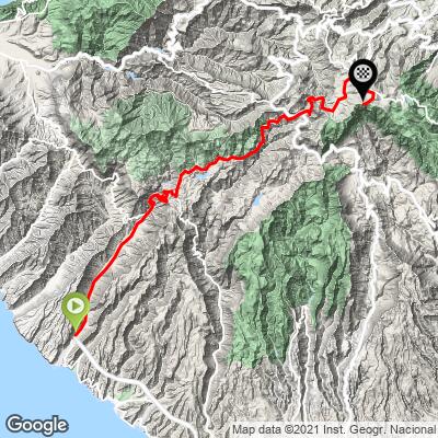
Pico de las Nieves is the highest point on Gran Canaria, and this route starting at sea level in Playa de Mogan on the island's southwest coast is one of several ways up - 27.38 miles and 6,680 feet of climbing at a 4.37% average grade, currently the #253 hardest climb in the world.
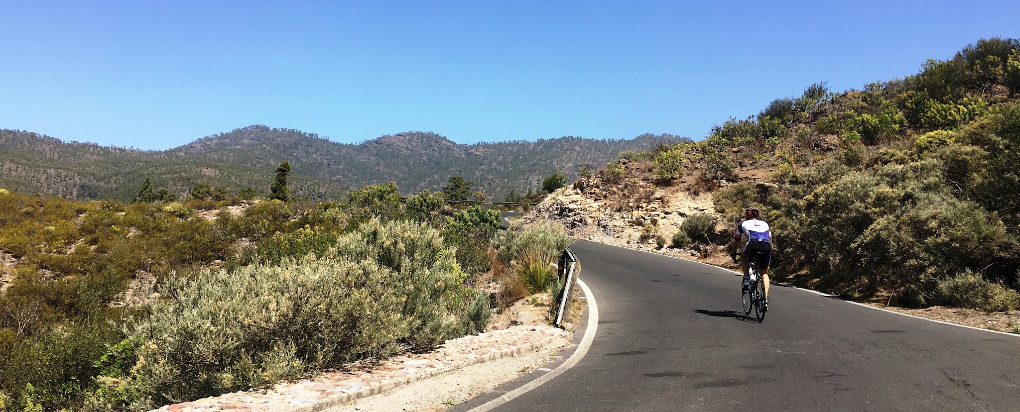
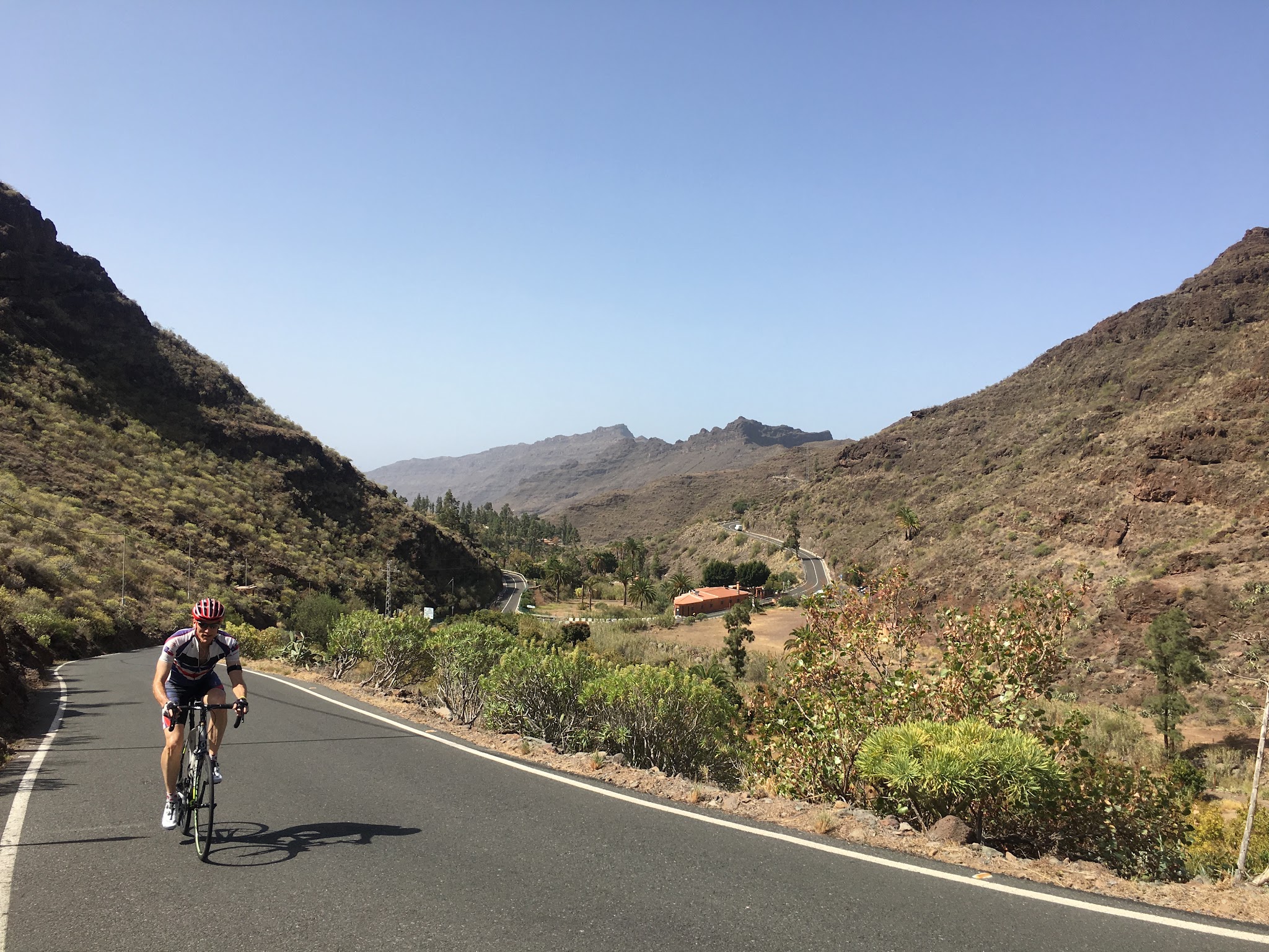
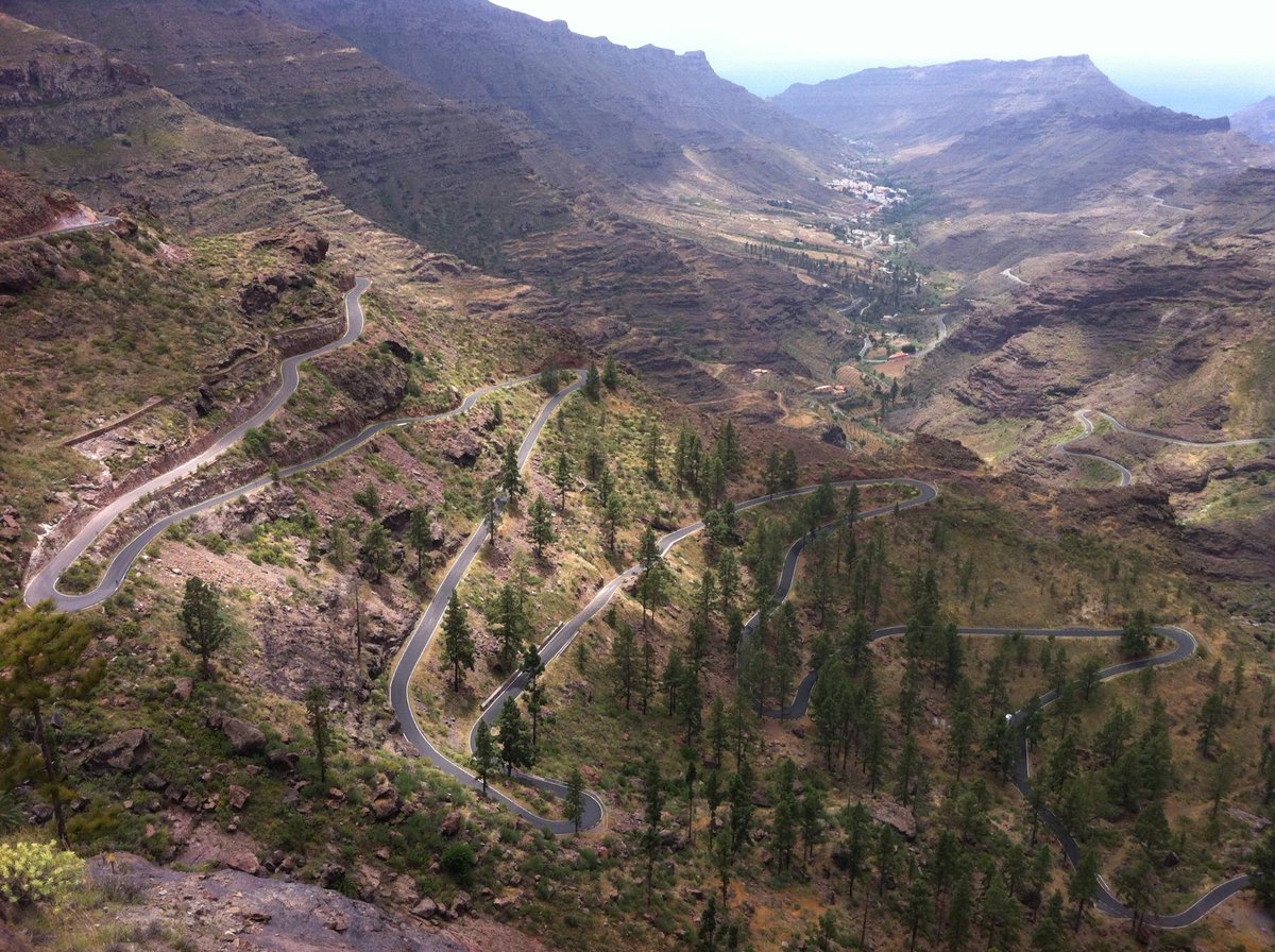
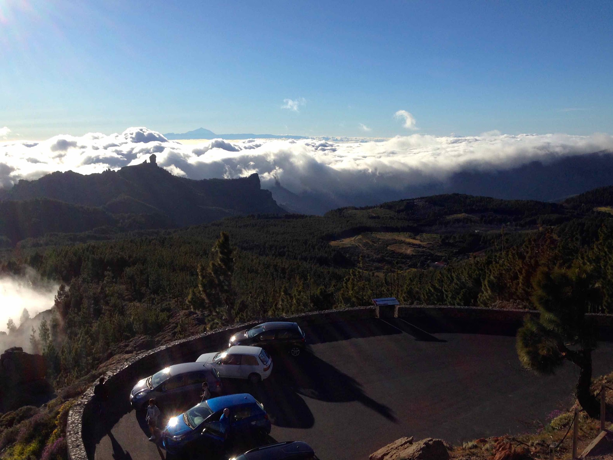
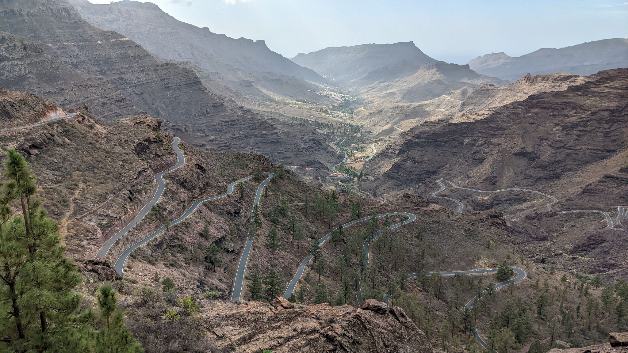
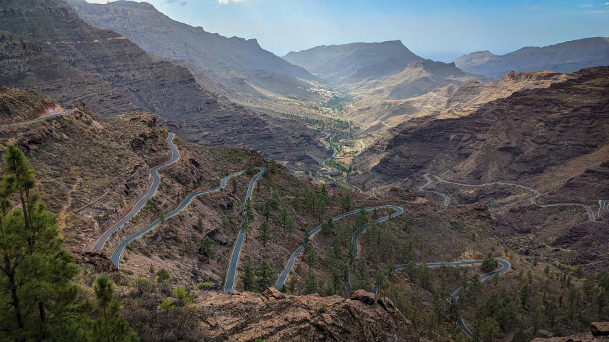
The ride opens with a flat run along the coast before turning inland through Mogan town and onto GC-605, a quiet mountain road locals call the "Serenity" climb for the pine forest and switchbacks it winds through on the way up to Ayacata. Above Ayacata, the road climbs onto Gran Canaria's high central plateau, with views down toward the Presa de Chira and Presa de las Ninas reservoirs in the mountains below and, on a clear day, out to Tenerife's Mount Teide across the water.
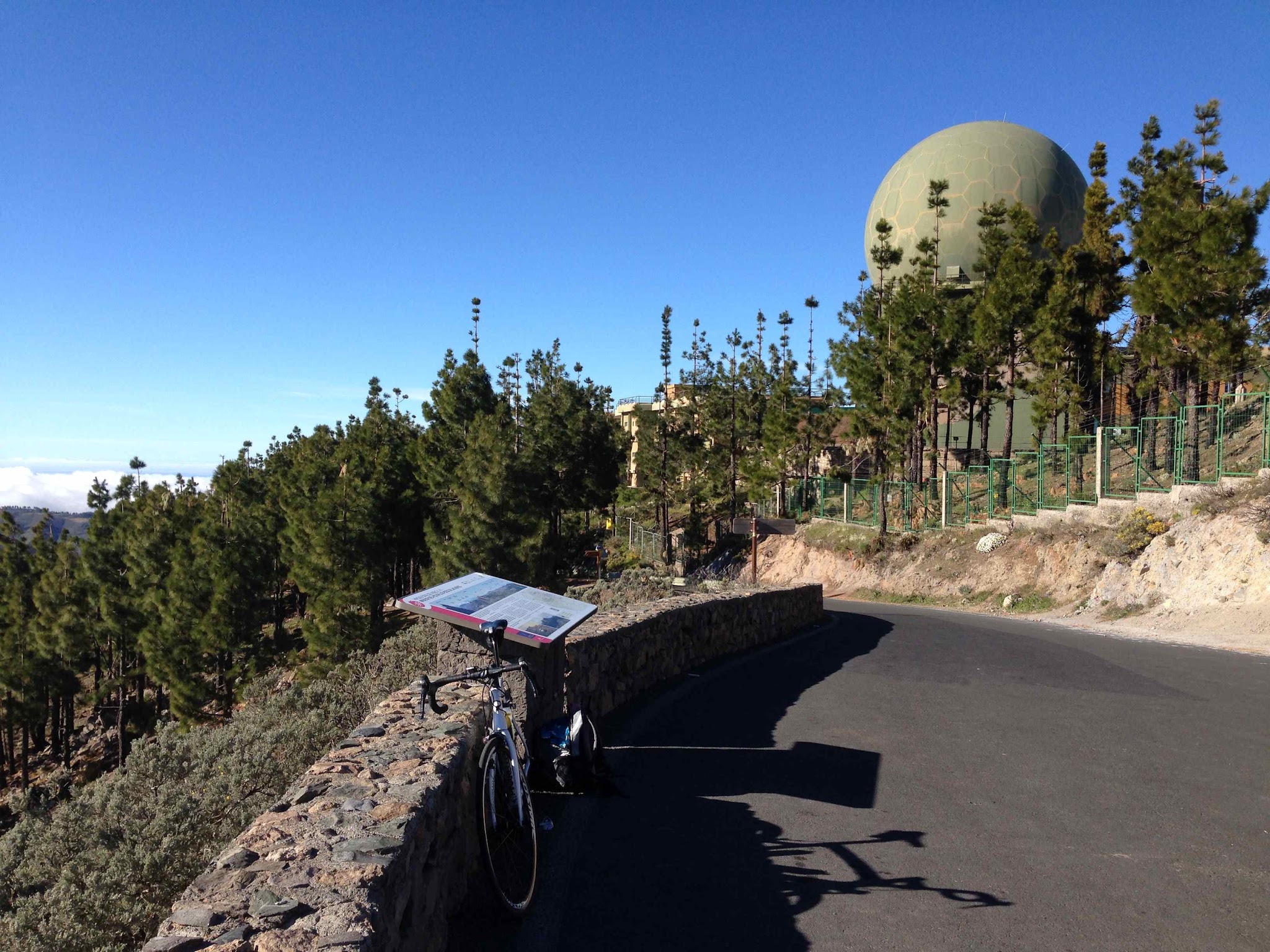
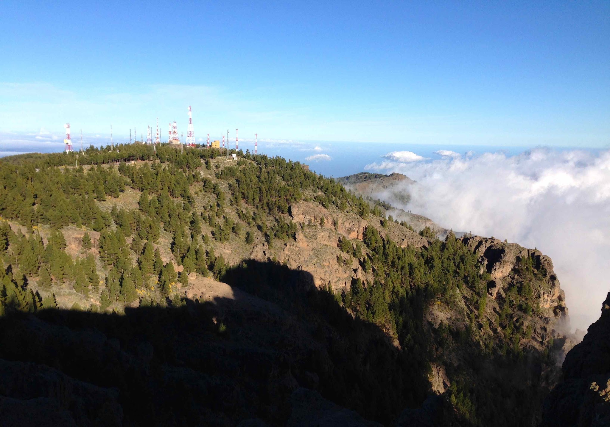
Pico de las Nieves' true summit is largely a fenced military zone with a public viewpoint at its edge. Several other PJAMM routes reach the same high plateau from Ingenio, Telde, and Maspalomas, each a genuinely different ride up a different side of the island.
Gran Canaria's mountain roads see occasional winter closures for ice or storm damage at this elevation, so it's worth checking current conditions before a winter attempt.
PLAN YOUR ROUTE
 We've partnered with Sherpa-Map.com to bring you the best route planning tool. With a PRO Membership you can use this climb as a reference when creating your route.
 This route averages 4.37% over 27.38 miles, gaining 6,680 feet - the gentlest average grade of Pico de las Nieves' several approaches, though still a long day given the distance. The steepest 100 yards touches 21.0%, the steepest quarter-mile 15.3%, and the steepest full mile 9.4%, with the hardest pitches concentrated on the switchbacks above Mogan town rather than near the top. The final five miles ease to a 7.3% average as the road settles onto the high plateau.
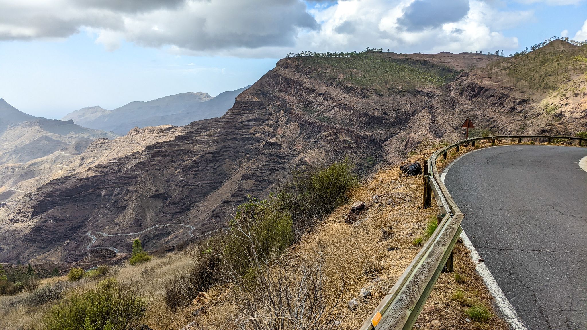
Roadway: The road is paved the entire way on GC-200 and GC-605, in generally good condition, with a smoother surface through the coastal and Mogan-town sections than on some of the older mountain switchbacks above. Like other high-elevation roads on Gran Canaria, sections near the summit plateau (GC-130/GC-134) have seen brief winter closures for ice in past years - check current conditions before a winter or early-spring attempt.
Traffic: Light on the coastal run out of Playa de Mogan and through Mogan town itself; traffic stays light on the GC-605 switchbacks above town, which see mostly local and recreational traffic rather than through-traffic.
Parking: Playa de Mogan is a resort town with plenty of hotel and public parking near the harbor if you want to start right at the coast. Mogan town itself, a few miles inland, is a smaller and quieter alternative with its own parking if you'd rather shorten the ride slightly.
Provisions: Playa de Mogan and Mogan town both have restaurants, cafes, and shops for a pre-ride stock-up. Above Mogan, options are sparse until Ayacata, which has a couple of small restaurants popular with cyclists - a good spot to refuel before the final push to the plateau.
Before heading out on any cycling adventure check out our Things to Bring on a Cycling Trip and use our interactive check list to ensure you don't forget anything.
Playa de Mogan, sometimes called the "Venice of Gran Canaria" for its canals and bridges, is a relaxed resort base with more restaurant and hotel options than the mountain villages further up. This is one of several ways up to Gran Canaria's high central plateau - riders based on this side of the island can also reach Roque Nublo, the island's iconic monolith, with a short detour near Ayacata. Conditions at nearly 2,000 meters can differ sharply from the coast, so check current conditions with our Weather tool before heading up.
ROUTE MAP
MEMBER RATING
CURRENT WEATHER
PJAMM TRIPS ADVENTURE STARTER BUNDLES
Check out PJAMM Adventure's prepackaged (self-guided) cycling trips. They will help you plan, document and conquer your next adventure.
NEARBY CLIMBS (0) RADIAL PROXIMITY
FROM No Climbs Found
MEMBER REVIEWS & COMMENTS
Let us know what you thought of this climb. Signup for our FREE membership to write a review or post a comment.
Already have an account?
LOG IN HERE