31.2
PDI
22.2 mi
DISTANCE
6,025 ft
GAINED
4.8 %
AVG. GRADE
FULL CLIMB STATS
Page Contributor(s): Mike Persellin, Robbinsdale, MN, USA
INTRO
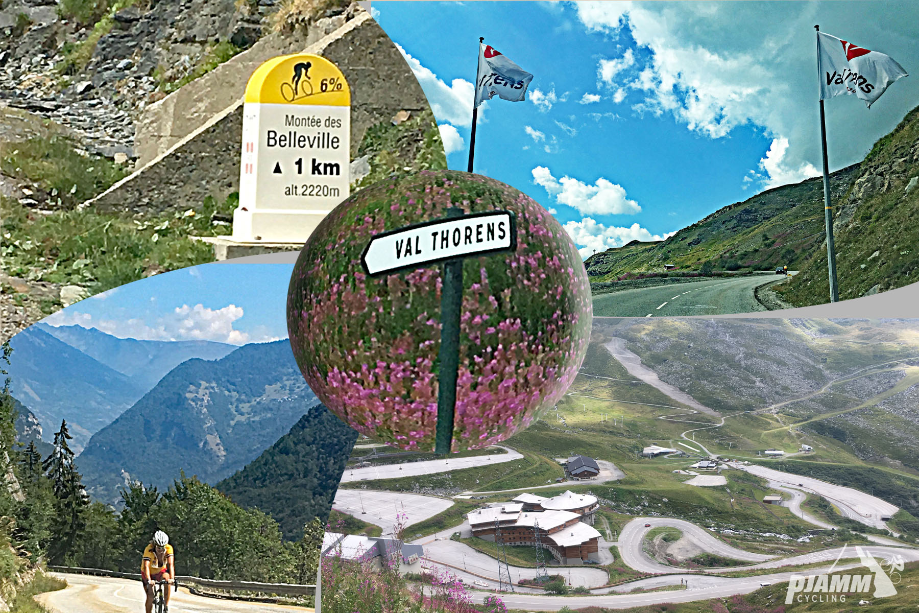
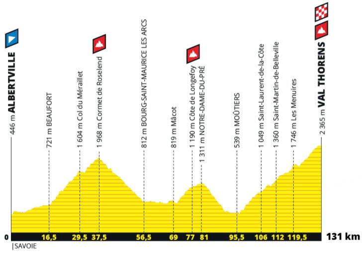
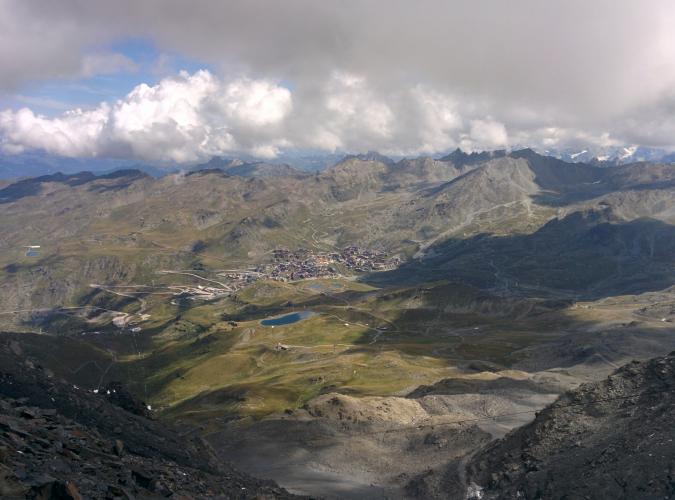
Val Thorens is a 35.7km climb out of Moutiers in Savoie, gaining 1836 meters at a 4.8% average grade to Europe's highest ski resort at 2216 meters - the second-highest stage finish in Tour de France history, behind only the Col du Galibier. At 22.2 miles it's among the longest continuously paved climbs in France. The Tour de France finished here just once, in 1994, when Colombia's Nelson Rodriguez won stage 17 in a career-defining sprint while Miguel Indurain extended his run toward a fourth of five consecutive yellow jerseys.
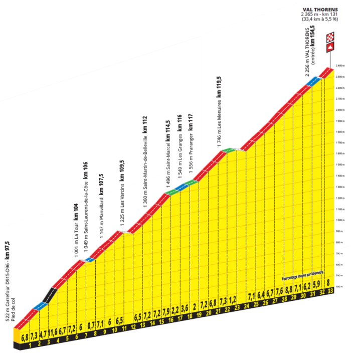
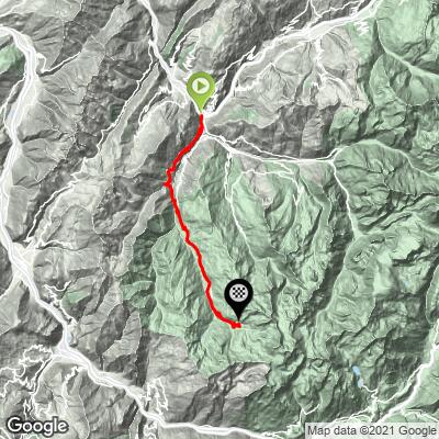
The road follows the Belleville valley the entire way, passing through Saint-Jean-de-Belleville and the resort town of Les Menuires before the final push to Val Thorens. The first two-thirds run along a wide, busy valley road with a couple of flat stretches and even brief descents that keep the average grade deceptively low for an HC climb, while the final six miles past Les Menuires tighten up and open into real high-alpine views.
This is also the gateway to the Three Valleys, one of the largest linked ski areas in the world, putting it within riding distance of Col de la Loze and several other major Savoie climbs.
PLAN YOUR ROUTE
 We've partnered with Sherpa-Map.com to bring you the best route planning tool. With a PRO Membership you can use this climb as a reference when creating your route.
 Val Thorens averages just 4.8% over its 22.2 miles, but that number is deceptive - it's an HC climb almost entirely because of its length. The grade is uneven, with genuine flat sections and even a couple of short descents in the Belleville valley before Les Menuires, so the real climbing is packed into fewer miles than the total distance suggests. The last few miles are the steepest: the closing quarter-mile averages 8.1%, the final mile 7.6%, and the steepest 100 yards touches 8.8%. Plan your effort around the flatter middle section rather than pacing evenly from the start.
Roadway: The D117 is paved for its entire length; several riders note rougher, patchier pavement in the first several miles out of Moutiers, and it smooths out considerably in the final miles above Les Menuires.
Traffic: Traffic is genuinely heavy for most of the climb - this is the main access road for the whole Belleville valley and its several large ski resorts, and riders consistently describe it as busy with cars, delivery trucks, and tour buses, especially in summer. It thins out only in the final miles above Les Menuires.
Parking: Moutiers, at the base, is the transit hub for the upper Tarentaise valley with train service and ample parking near its center. Val Thorens, at the top, has extensive resort parking if you'd rather split the ride or drive up first.
Carry enough food and water for the full 22.2 miles - this is one of the longest continuous paved climbs in France, and while Saint-Jean-de-Belleville and Les Menuires both have shops and cafes along the way, there's real distance between them.
Standard road gearing is fine given the moderate overall average grade, though a compact setup makes the steeper closing miles easier. Given how much of the ride is spent on a busy valley road, a rear light and high-visibility kit are worth having even in daylight.
Before heading out on any cycling adventure check out our Things to Bring on a Cycling Trip and use our interactive check list to ensure you don't forget anything.
Moutiers is the transit hub for the entire upper Tarentaise valley, with train service from Paris and a full range of hotels and restaurants; Val Thorens itself, Europe's highest ski resort at the top of the climb, has plenty of lodging and dining if you'd rather base up high, and it's also the gateway to the Three Valleys, one of the largest linked ski areas anywhere.
If you're after a quieter climb in the same area, the D96 on the other side of the valley sees far less traffic than the main D117 lower down. Riders looking to extend a Tarentaise trip can use our Routes in the Area tool to find nearby options like Col de la Loze and Col de la Madeleine.
ROUTE MAP
MEMBER RATING
CURRENT WEATHER
PJAMM TRIPS ADVENTURE STARTER BUNDLES
Check out PJAMM Adventure's prepackaged (self-guided) cycling trips. They will help you plan, document and conquer your next adventure.
NEARBY CLIMBS (0) RADIAL PROXIMITY
FROM No Climbs Found
MEMBER REVIEWS & COMMENTS
Let us know what you thought of this climb. Signup for our FREE membership to write a review or post a comment.
Already have an account?
LOG IN HERE
zesoloist
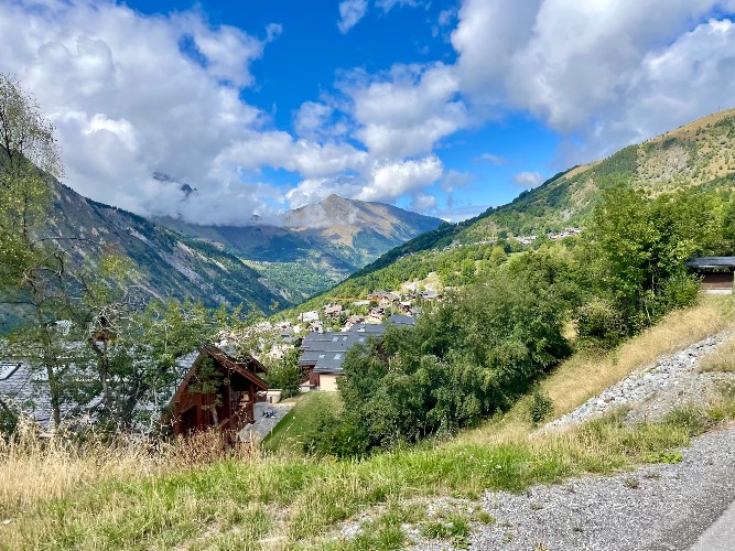
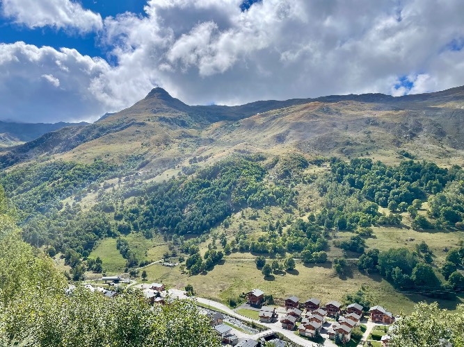
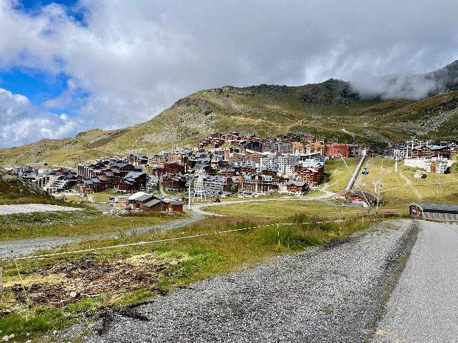
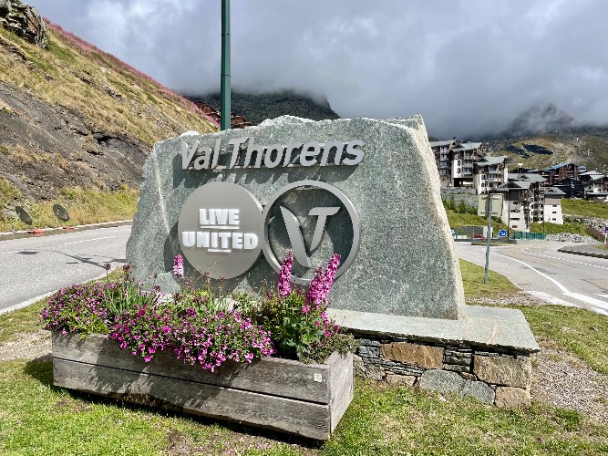
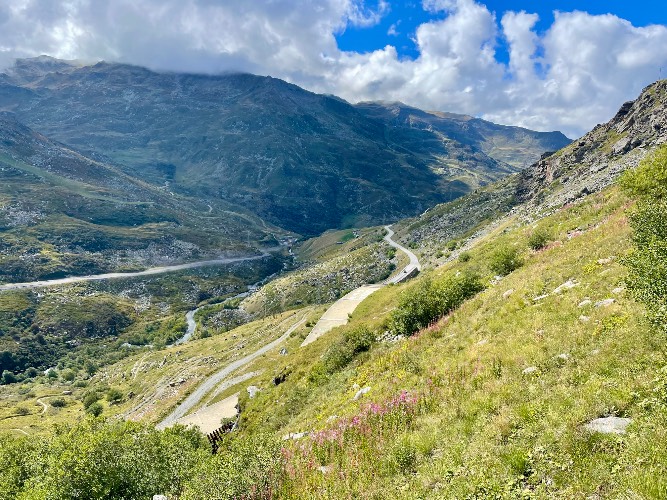
Saturday. Didnt do the exact climb listed here. Rode up D96 on the east side of the valley out of Moûtiers. Three cars total, one up, two down, until I connected with the route from the west side. Much more shade too. More traffic and one of three other cyclists once on the official climb. Several little villages but didnt need food or water. Mid 60's when I left. Chilly at the top. Split of to hit Sommet Tougnete on the way back down