13
PDI
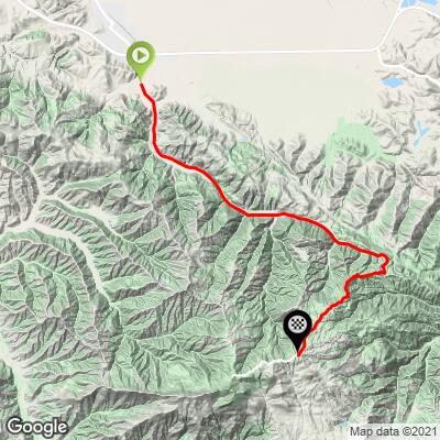
8.8 mi
DISTANCE
2,509 ft
GAINED
5.4 %
AVG. GRADE
FULL CLIMB STATS
Page Contributor(s): Michael Persellin, Minneapolis, MN, USA; Dan Razum, Campbell, CA, USA
INTRO
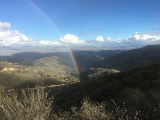
The approach is on San Juan Canyon Road just south of the California Mission San Juan Bautista. The climb starts at the state park entrance and ends 8.8 miles later at the observatory parking lot. The first part of the climb is in a shaded canyon past small ranches and is the easiest section. At just past five miles, the road pitches up sharply into the open and averages over 8% to the finish, with a couple of 13% ramps.
PLAN YOUR ROUTE
Average grade is 5.4% with 0 descent. 48% of the climb is at 0-5% and 47% is at 5-10%. The steepest quarter-mile is 10.5%.
See more details and tools regarding this climb's grade via the “Profile Tool” button.
Roadway: Two lane road with a center stripe, no shoulder, and in moderately poor condition.
Traffic: Minimal.
ParkingMap: There is parking on the side of the road at a utility turn out a tenth-mile after the climb start (Map; Street View).
Provisions: This is a remote climb with no spots for food or water along the way. The Windmill Market is just six-tenths of a mile north of the climb start (Map; Google Map + Reviews).
Before heading out on any cycling adventure check out our Things to Bring on a Cycling Trip and use our interactive check list to ensure you don't forget anything.
Visit circa 1797 Mission San Juan Bautista during your visit (Google Maps + Reviews).
San Juan Bautista is also a charming place to spend some time: "San Juan Bautista is a unique village, alive with early California history and home to one of the most authentic, picturesque and pristine missions along the California mission trail. A deep commitment to preservation has endowed the city with historic authenticity, including a nationally registered historic district, a main street lined with buildings straight out of the old west and original adobes dating back two centuries. By embracing multicultural performing arts and artists, festivals and street fairs the community celebrates entertainment year round" (San Juan Bautista).
ROUTE MAP
MEMBER RATING
CURRENT WEATHER
PJAMM TRIPS ADVENTURE STARTER BUNDLES
Check out PJAMM Adventure's prepackaged (self-guided) cycling trips. They will help you plan, document and conquer your next adventure.
NEARBY CLIMBS (0) RADIAL PROXIMITY
FROM No Climbs Found
MEMBER REVIEWS & COMMENTS
Let us know what you thought of this climb. Signup for our FREE membership to write a review or post a comment.
Already have an account?
LOG IN HERE