31.1
PDI
9.7 mi
DISTANCE
4,305 ft
GAINED
8.5 %
AVG. GRADE
FULL CLIMB STATS
INTRO
Passo Fitanze is a 9.7-mile climb in the Veneto region of northern Italy, just south of Lago di Garda in the Lessinia foothills above the Adige Valley. The route gains 4,305 feet at an average grade of 8.5%, finishing at 4,719 feet - one of three genuinely tough climbs clustered around this stretch of the lake.
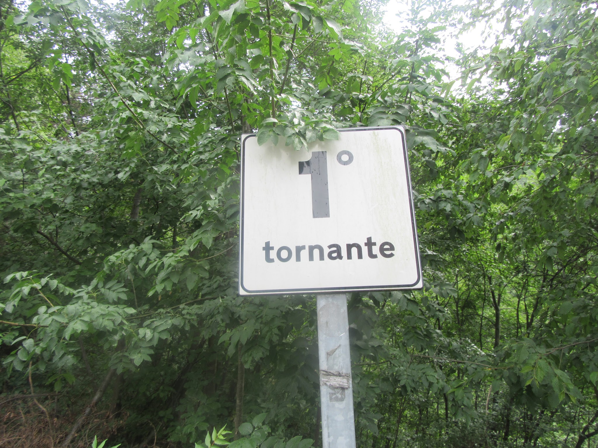
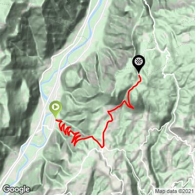
The climb wastes no time getting hard: ten hairpin turns come in the first 3.8 miles, holding that same 8.5% average the whole way up. The steepest quarter mile reaches 12.6%, and the steepest kilometer, starting around km 6.6, averages 10.7%. The road narrows and gets rougher in patches the higher you climb, and with only a trickle of cyclist traffic on Strava, you'll likely have the switchbacks to yourself.
Passo Fitanze doesn't have the name recognition of the Dolomites climbs a few hours north, but it's a legitimate physical test with real solitude - worth the detour if you're already riding the Lago di Garda area. Our Routes in the Area tool can help you spot other nearby climbs, including Avio-San Valentino just across the valley, to build out a multi-day loop.
PLAN YOUR ROUTE
 We've partnered with Sherpa-Map.com to bring you the best route planning tool. With a PRO Membership you can use this climb as a reference when creating your route.
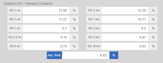
 Passo Fitanze averages 8.5% over its 9.7 miles, gaining 4,305 feet to a finish at 4,719 feet. The climb starts immediately with ten hairpin turns across the first 3.8 miles, holding that same 8.5% average the entire way. The steepest quarter mile reaches 12.6%, the steepest half mile averages 11.3%, and the longest sustained one-mile stretch comes in at 9.7%. The steepest kilometer begins around km 6.6 and averages 10.7%.
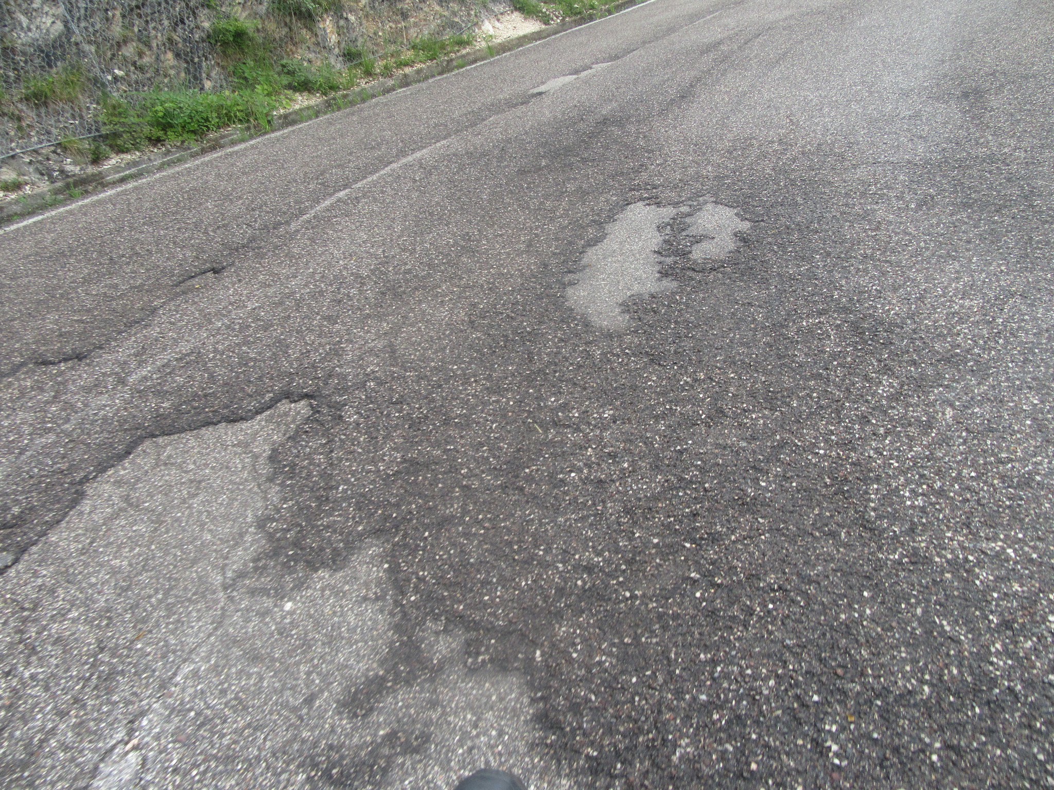
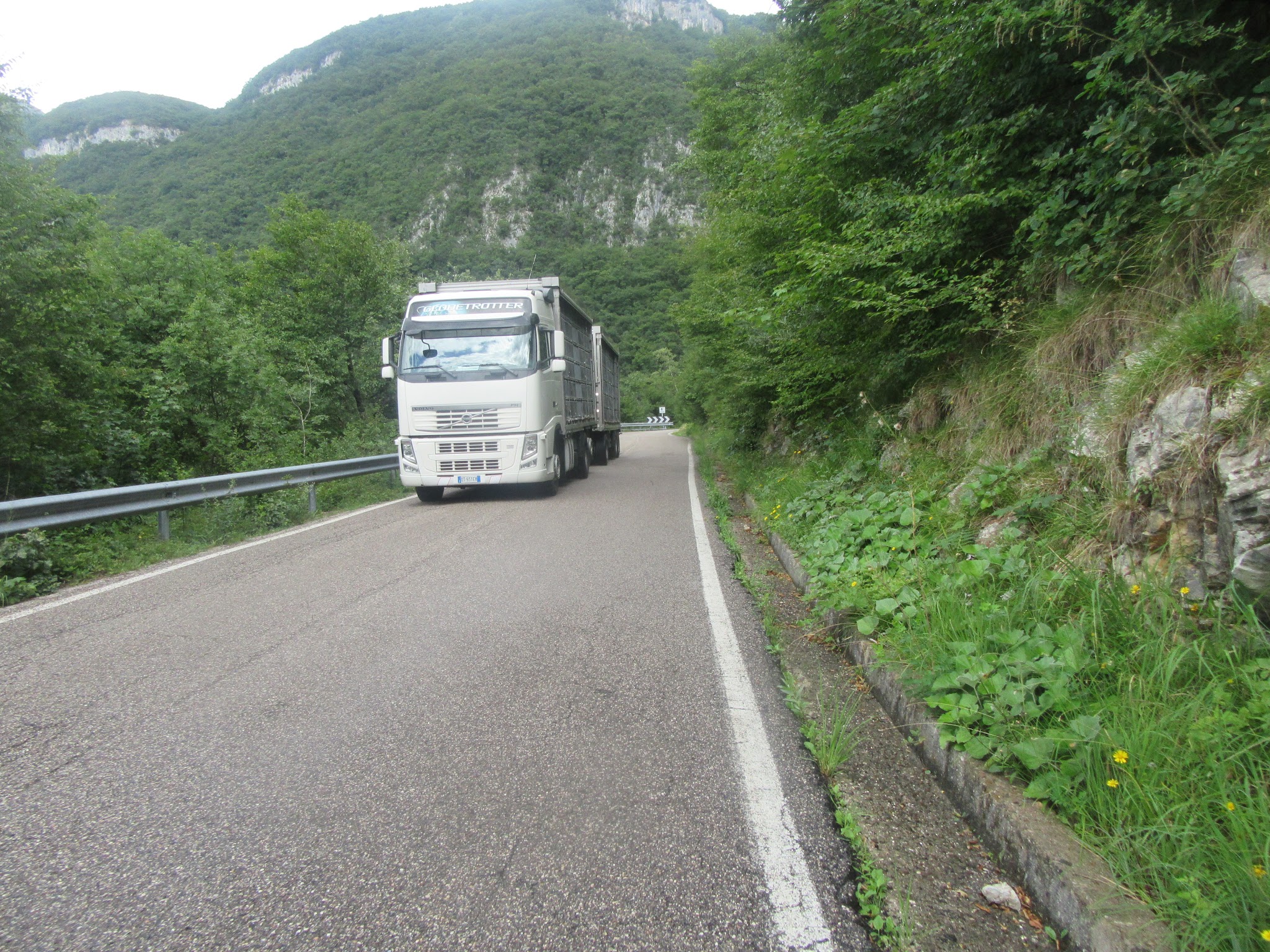
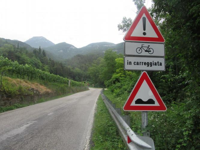
Roadway: The pavement is narrow and rough in patches the higher you climb, typical of this rural stretch of the Lessinia plateau above the Adige Valley. The road has seen occasional rockfall and weather-related closures over the years (a 2024 rockslide closed a nearby section of SP57 for about a month) - check Provincia di Verona's road-status page before you go, though these closures tend to be short-lived.
Traffic: Traffic is light for essentially the entire climb. This isn't a well-known route among cyclists or drivers, so you'll mostly have the road to yourself outside of local farm and forestry traffic.
Parking: Peri is a small village in the Adige Valley, not a tourist base, so parking is informal. Riders typically leave a car along the shoulder near the SS12/SP57 intersection at the base of the climb, where there's enough width to pull off safely.
There are no shops, cafes, or water stops along the climb itself - stock up in Peri or nearby Dolcè before you start. The road climbs straight into forest and open plateau with nothing in between, so bring enough water and food for the full 9.7 miles, especially in summer heat on the lower, more exposed hairpins.
Before heading out on any cycling adventure check out our Things to Bring on a Cycling Trip and use our interactive check list to ensure you don't forget anything.
Base yourself in one of the Lago di Garda towns - Malcesine, Torbole, or Riva del Garda are all within an hour's drive - or stay closer in Verona if you're combining this with other Veneto climbs. Passo Fitanze is one of three demanding climbs clustered around this end of the lake, alongside Avio-San Valentino just across the Adige valley and Sega di Ala further into the Lessinia plateau, so it's worth planning two or three days here rather than a single out-and-back.
The climb sees very little cyclist traffic, so don't count on passing riders or roadside services - carry what you need and let someone know your route before you head up.
ROUTE MAP
MEMBER RATING
CURRENT WEATHER
PJAMM TRIPS ADVENTURE STARTER BUNDLES
Check out PJAMM Adventure's prepackaged (self-guided) cycling trips. They will help you plan, document and conquer your next adventure.
NEARBY CLIMBS (0) RADIAL PROXIMITY
FROM No Climbs Found
MEMBER REVIEWS & COMMENTS
Let us know what you thought of this climb. Signup for our FREE membership to write a review or post a comment.
Already have an account?
LOG IN HERE