60.5
PDI
21.4 mi
DISTANCE
7,410 ft
GAINED
6.5 %
AVG. GRADE
FULL CLIMB STATS
Page Contributor(s): Ard Oostra, Switzerland.
INTRO
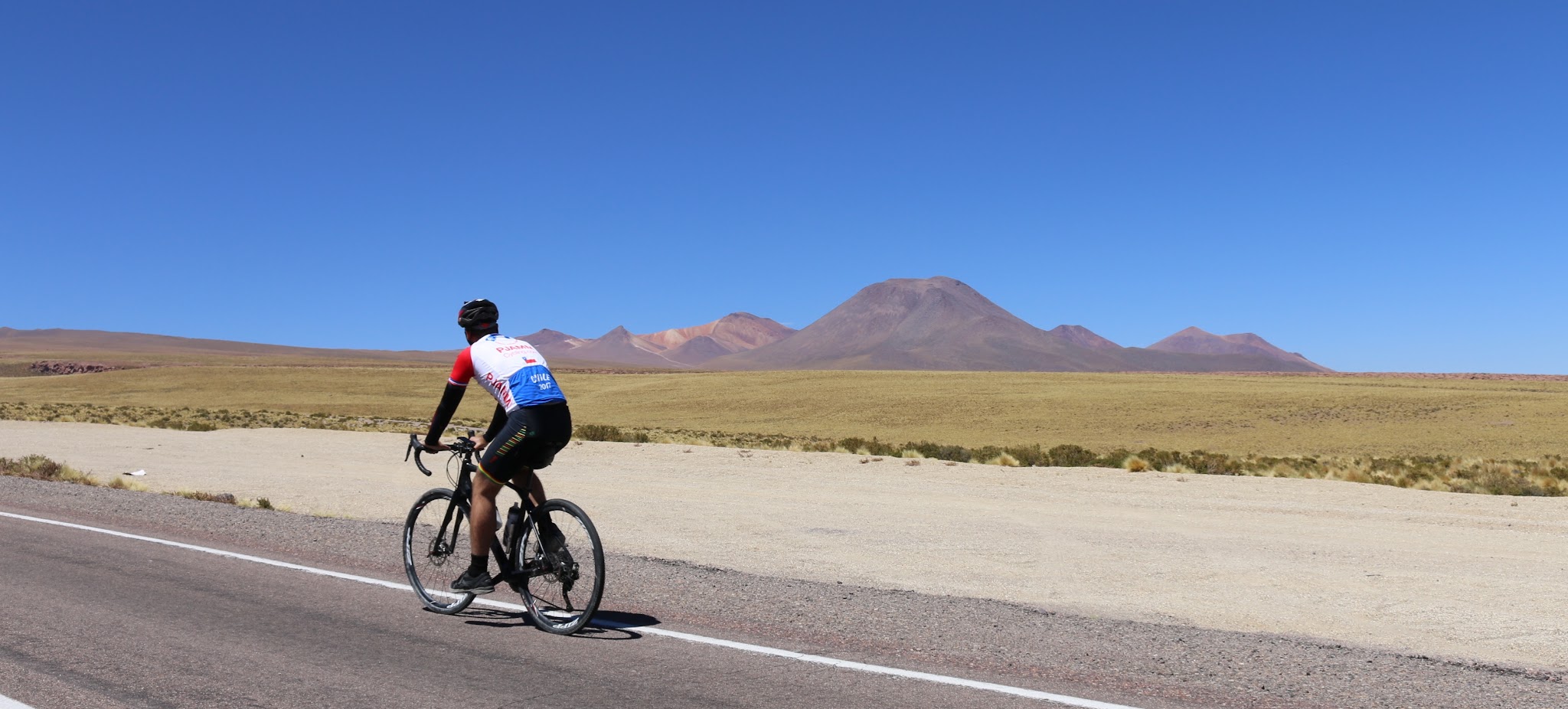
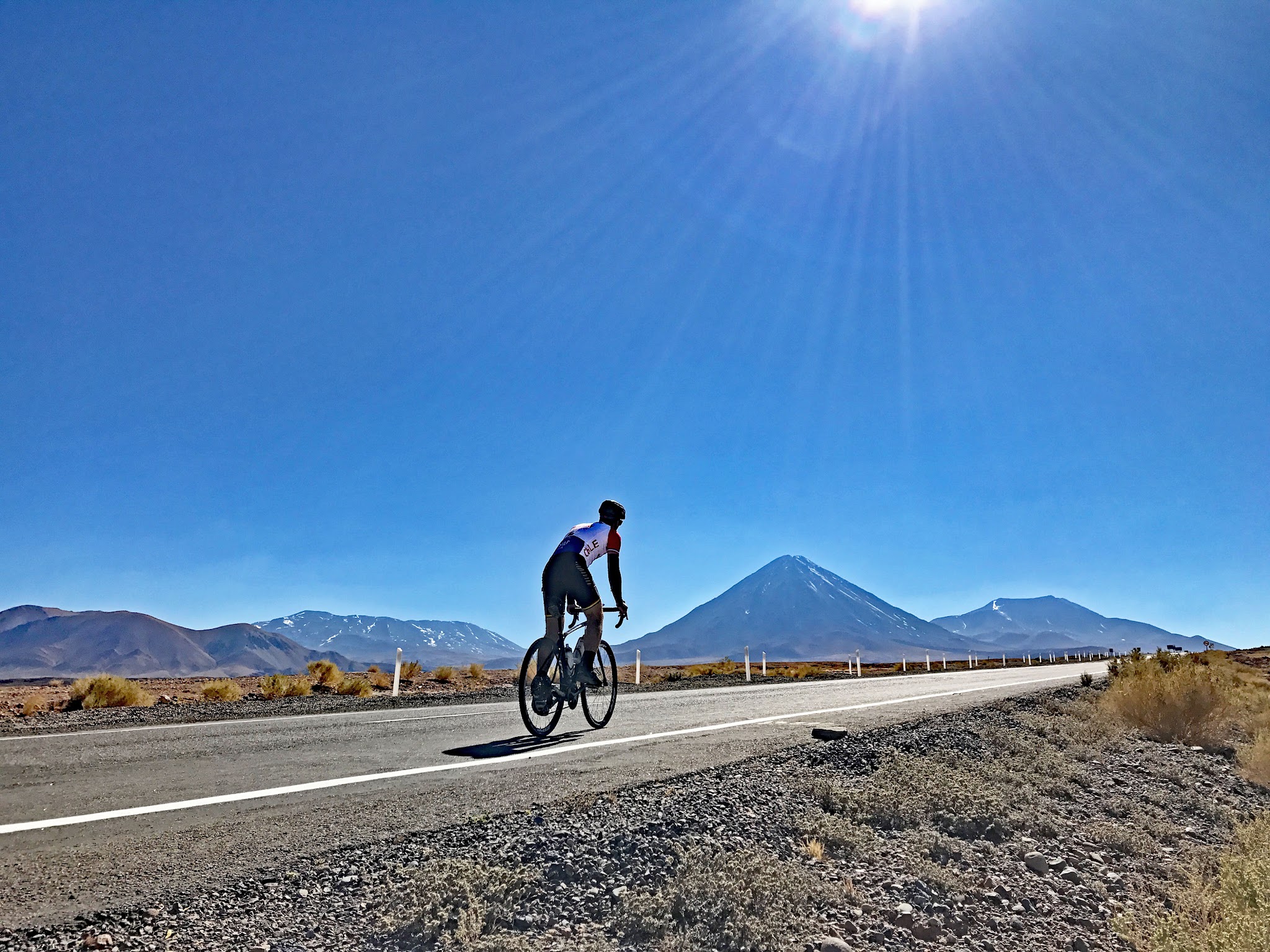
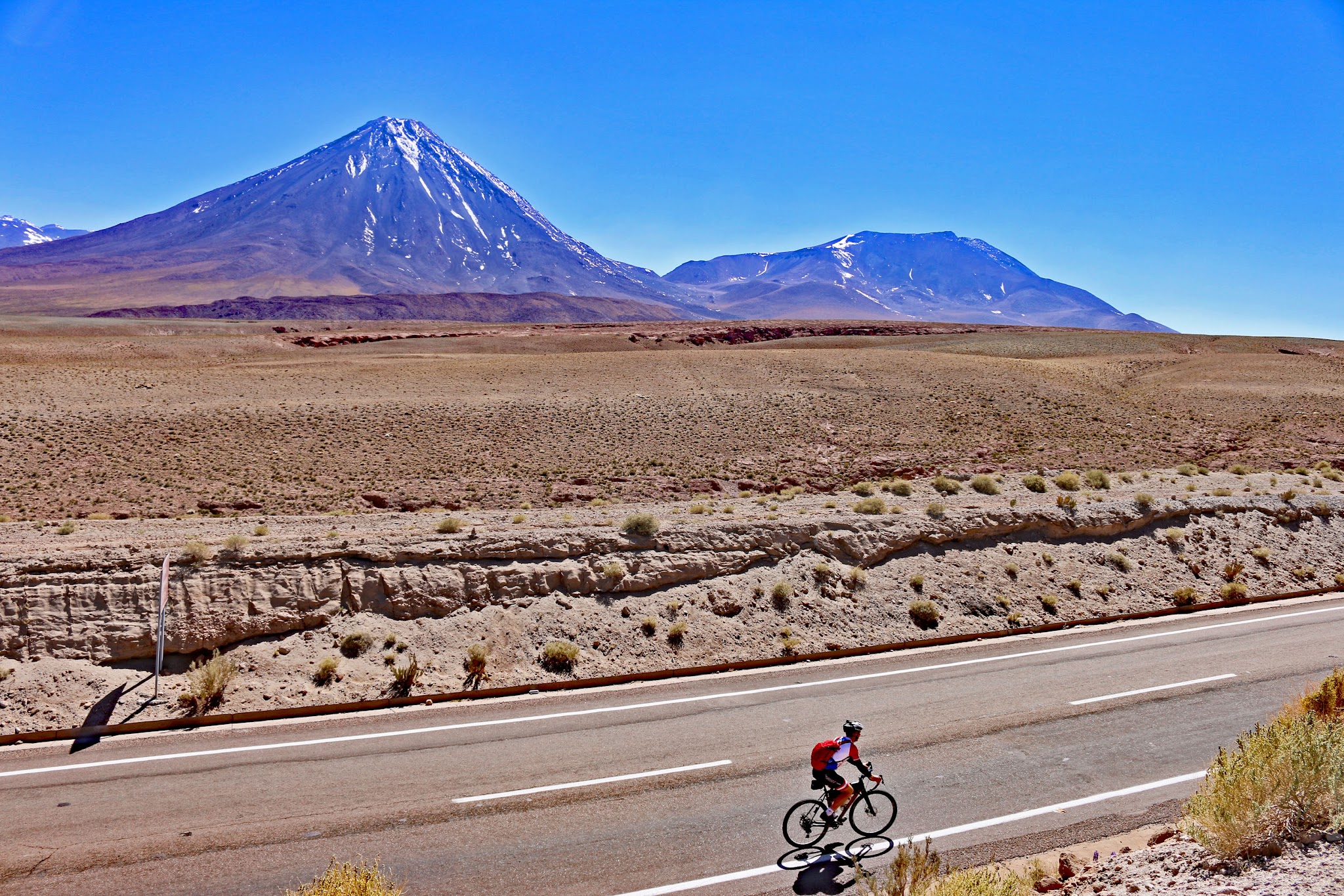
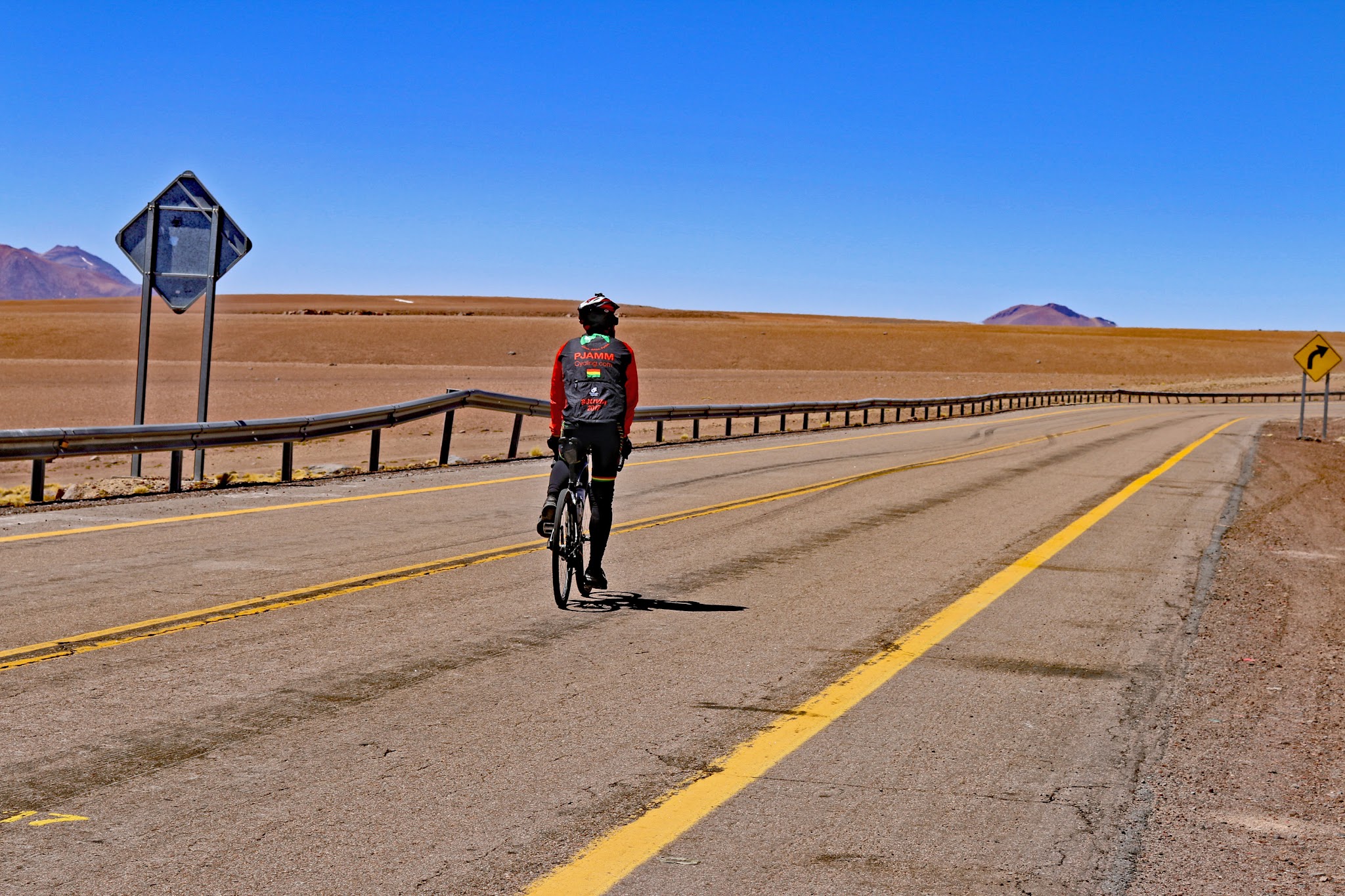
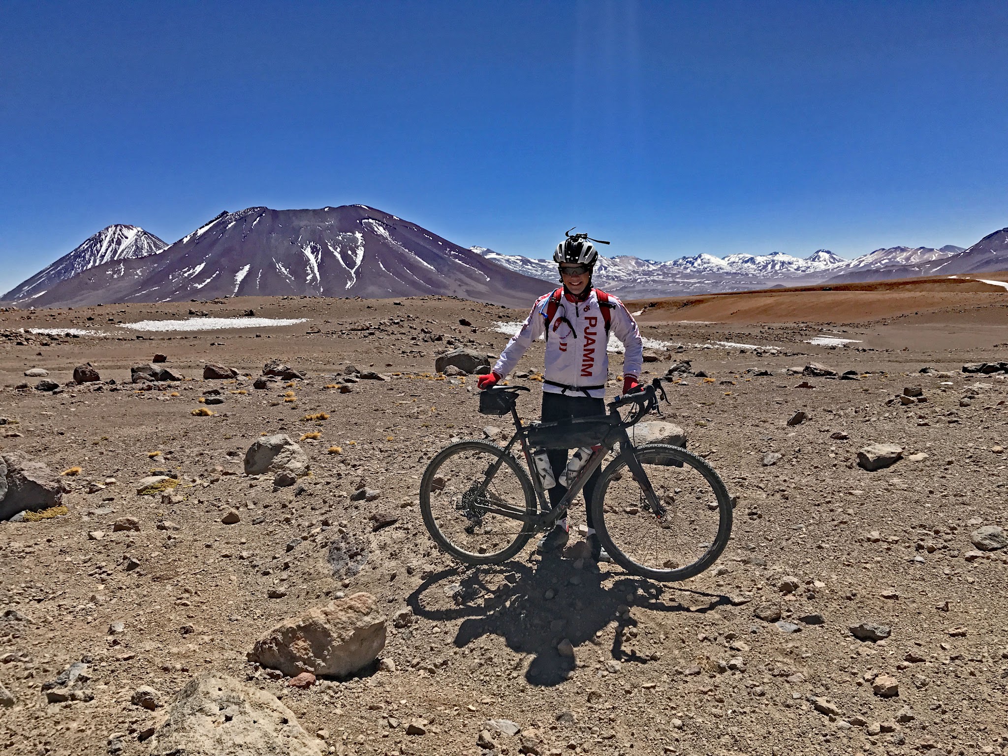
Hwy 27 climbs out of San Pedro de Atacama, Chile, into the high Andes toward the Argentine border at Paso de Jama, gaining 7,410 feet over 21.4 miles at a 6.5% average grade and topping out around 15,600 feet. Currently the #18 hardest climb in the world, this stretch of Route 27 is among the highest paved roads anywhere in the Americas - the highway continues on past this climb's finish to Portezuelo Paranal, one of the highest paved points on the continent.
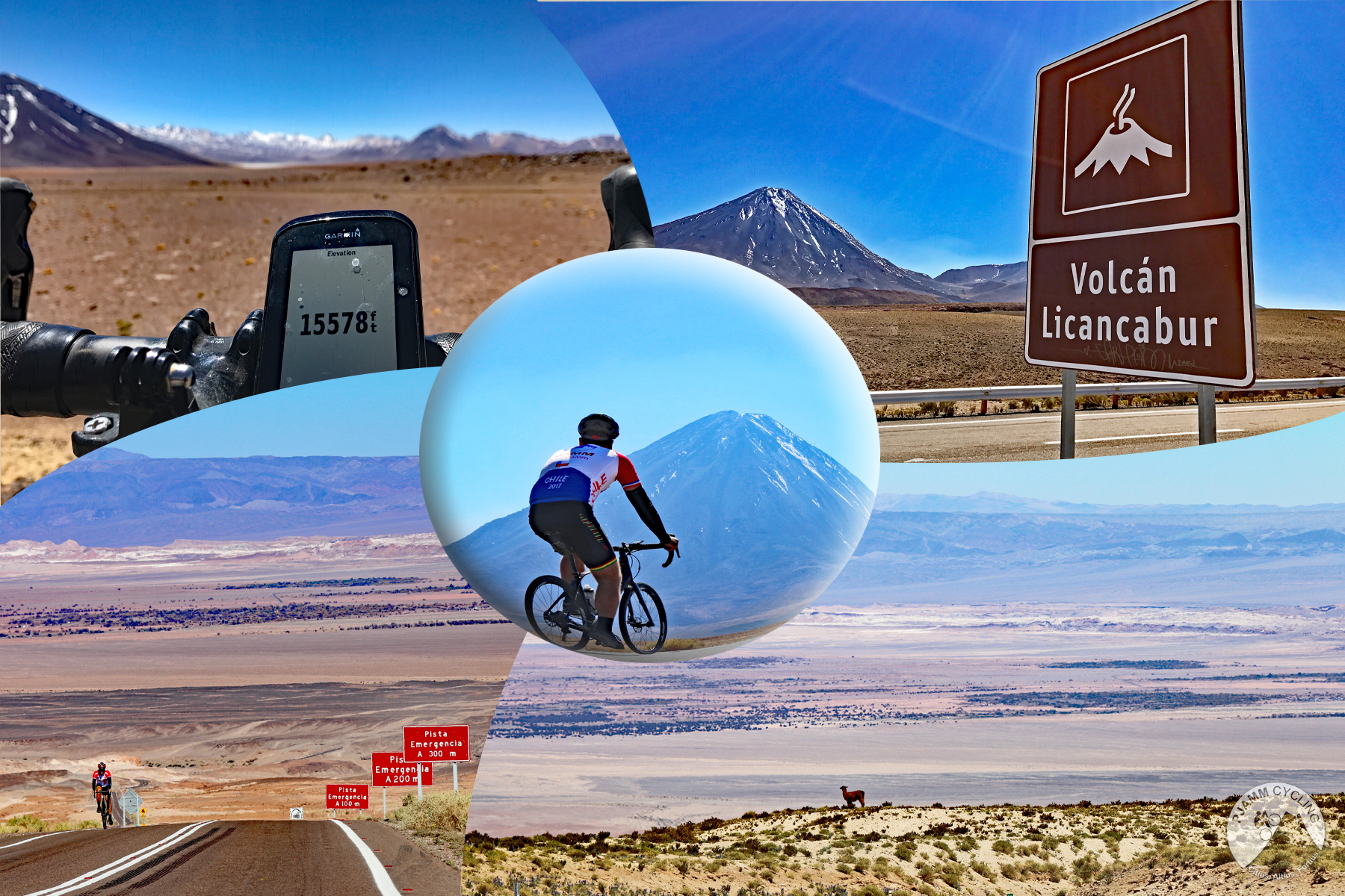
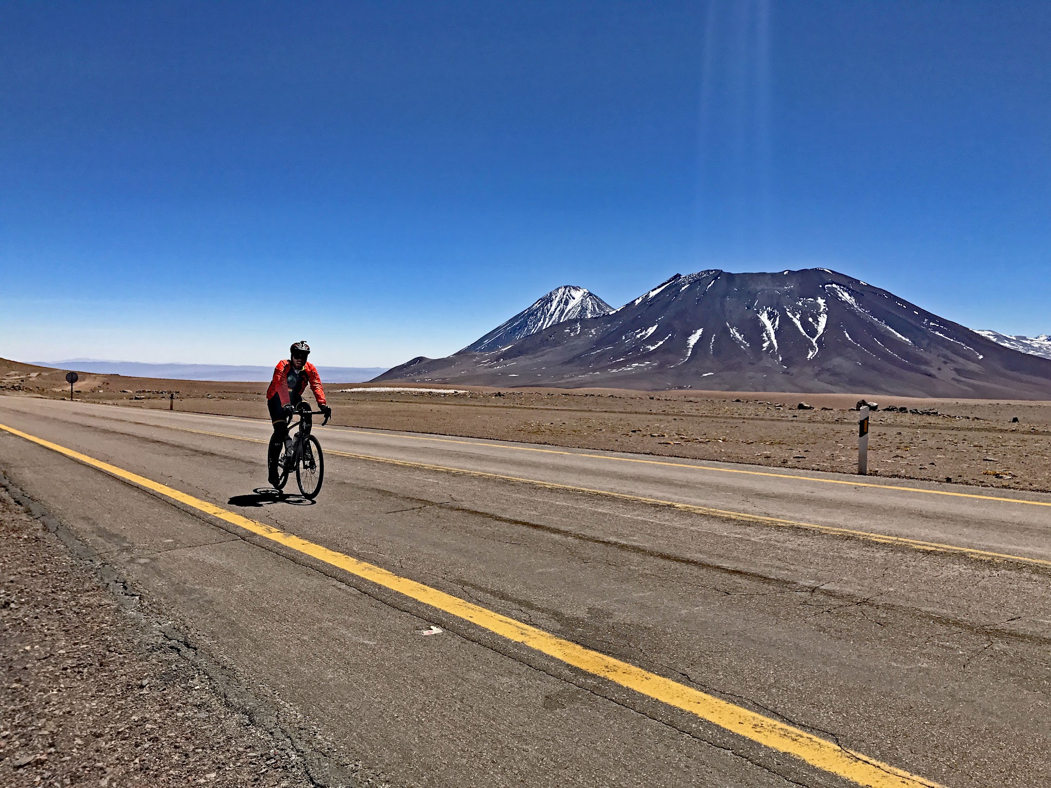
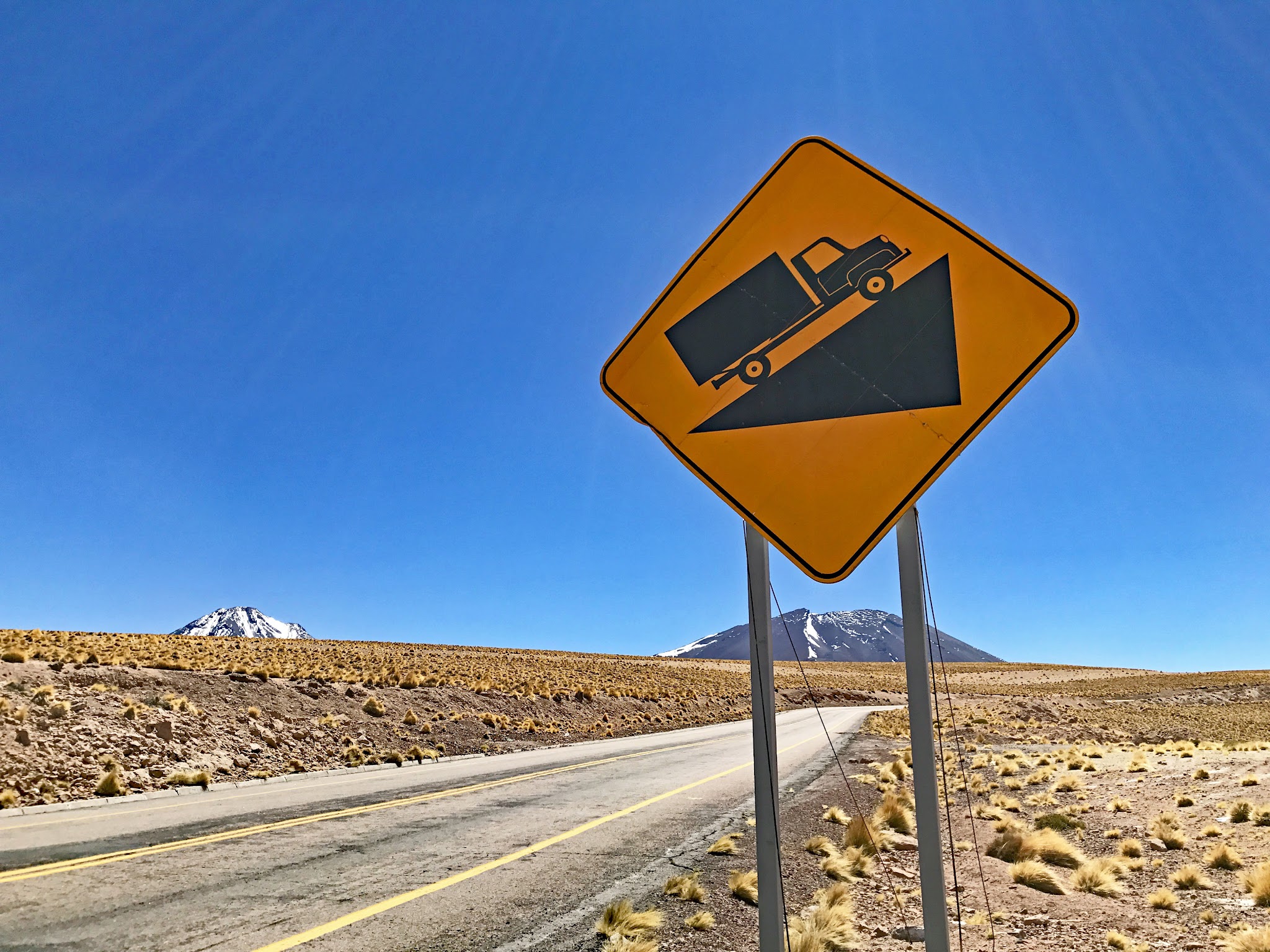
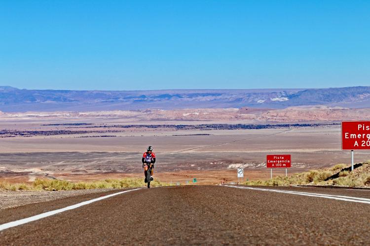
Unlike the greener high Andes further north in Peru, Ecuador, and Colombia, this is a stark, high-altitude desert climb with almost no vegetation - just volcanic peaks, salt flats, and enormous sky. Volcán Licancabur is in view for much of the ride, and the road itself is a real international freight corridor, not a quiet backcountry route: it carries steady truck traffic toward the Jama border, and several runaway-truck ramps along the way are a reminder of how seriously that traffic takes the grade.
Finishing above 4,700 meters makes this one of the more physiologically demanding climbs on the site regardless of fitness; altitude acclimatization matters here as much as legs.
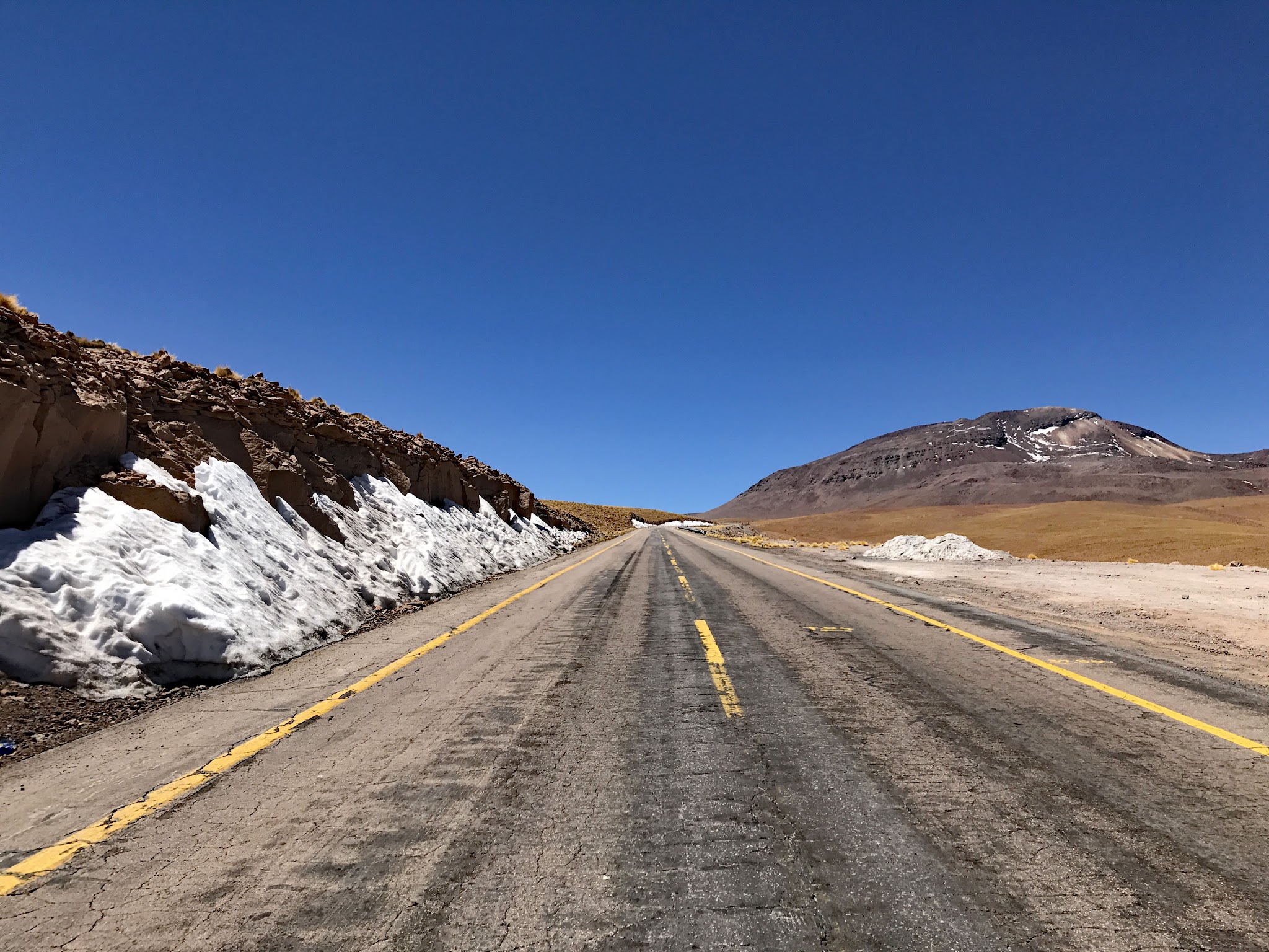
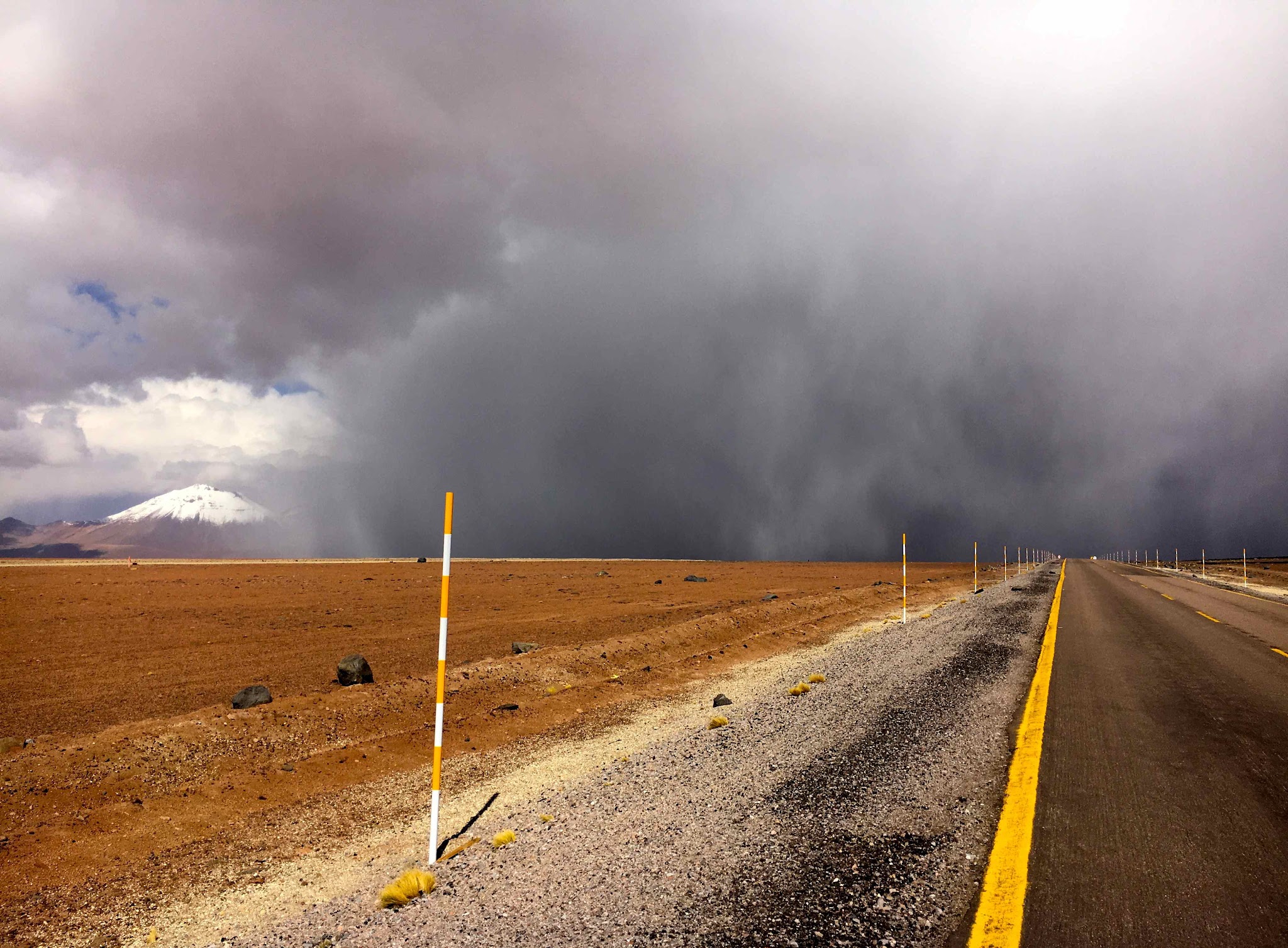
It's a genuinely remote, high-desert environment prone to sudden weather - in late August 2026, an unusual snowstorm briefly closed the nearby Jama border crossing and left snow and ice on sections of Route 27 itself, a reminder that conditions at this altitude can turn fast even in a place famous for being one of the driest deserts on Earth.
PLAN YOUR ROUTE
 We've partnered with Sherpa-Map.com to bring you the best route planning tool. With a PRO Membership you can use this climb as a reference when creating your route.
 This climb has a 6.5% average grade. 76% of this climb is at 5-10% grade and 5% is at 10-15%. The steepest 500 meters is 9.9%.
See more details and tools regarding this climb's grade via the “Profile Tool” button.
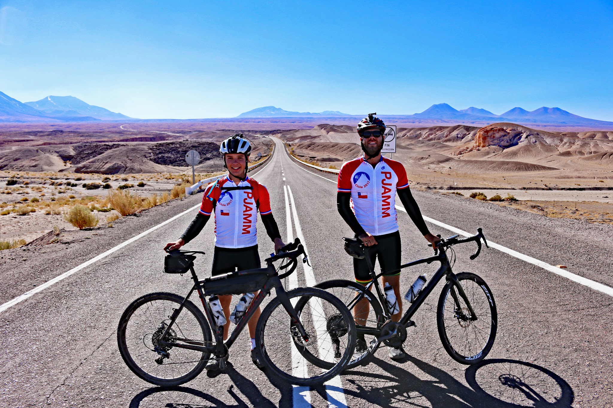
Roadway: Hwy 27 is a two-lane paved highway in very good condition with a solid shoulder for essentially the entire climb - one of the better-maintained high-altitude routes in the Andes, since it's a maintained international freight corridor rather than a rural backroad.
Traffic: Traffic is generally light for a highway, but not casual - this route carries real truck and big-rig traffic heading to and from the Paso de Jama border crossing with Argentina, and several runaway-truck ramps along the climb are a reminder of how steep and serious that traffic treats the grade. Give trucks plenty of room, especially near the runaway-ramp sections. The route is also genuinely weather-exposed: in late August 2026, an unusual high-altitude snowstorm covered sections of Route 27 in snow and ice and forced a multi-day closure of the Jama border crossing just beyond this climb's finish, with traffic only resuming gradually in truck convoys. Winter months (roughly June through September in this hemisphere) carry a real, if occasional, risk of snow and ice at this altitude despite the surrounding desert - check current conditions with Chile's Dirección de Vialidad or local San Pedro de Atacama sources before heading up.
Parking: There's a wide spot to park on the left about 200 meters past the start of the climb (Map; Street View).
Provisions: There is no place to get food or water on the route. There are several locations for food and beverages in San Pedro de Atacama, about 13 kilometers west of the start of the climb.
Weather: You finish this climb 2,250 meters higher than where you start, at an elevation above 4,700 meters.
Altitude affects riders very differently, and finishing above 15,000 feet carries real risk of altitude sickness even for strong, acclimatized cyclists - consider spending a few days in San Pedro de Atacama (already at about 2,400 meters) before attempting this climb, and know the symptoms of acute mountain sickness before you go. Consult the PJAMM "Full Forecast" feature for the time you expect to arrive at the finish to assess what clothing to bring on your ride.
Before heading out on any cycling adventure check out our Things to Bring on a Cycling Trip and use our interactive check list to ensure you don't forget anything.
Stay in San Pedro de Atacama (population now around 11,000) for this climb - it's the obvious base, with the widest range of lodging, tours, and restaurants in the area.
If you have extra time, the ALMA Observatory, about 55 kilometers east of town, is one of the world's most important radio telescope arrays; note that ALMA's public visitor program has been suspended in recent seasons while it's reworked, so check the observatory's own site for current visit availability before planning a trip around it rather than assuming tours are running.
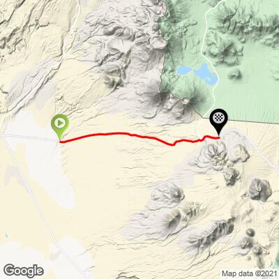
ROUTE MAP
MEMBER RATING
CURRENT WEATHER
PJAMM TRIPS ADVENTURE STARTER BUNDLES
Check out PJAMM Adventure's prepackaged (self-guided) cycling trips. They will help you plan, document and conquer your next adventure.
NEARBY CLIMBS (0) RADIAL PROXIMITY
FROM No Climbs Found
MEMBER REVIEWS & COMMENTS
Let us know what you thought of this climb. Signup for our FREE membership to write a review or post a comment.
Already have an account?
LOG IN HERE