Juvasshytta Bike Climb - PJAMM Cycling

33.7
PDI
8.1 mi
DISTANCE
4,120 ft
GAINED
9.7 %
AVG. GRADE

FULL CLIMB STATS

Page Contributor(s): Ingvar Strom, Oslo, Norway; Ard Oostra, Montreux, CH

INTRO

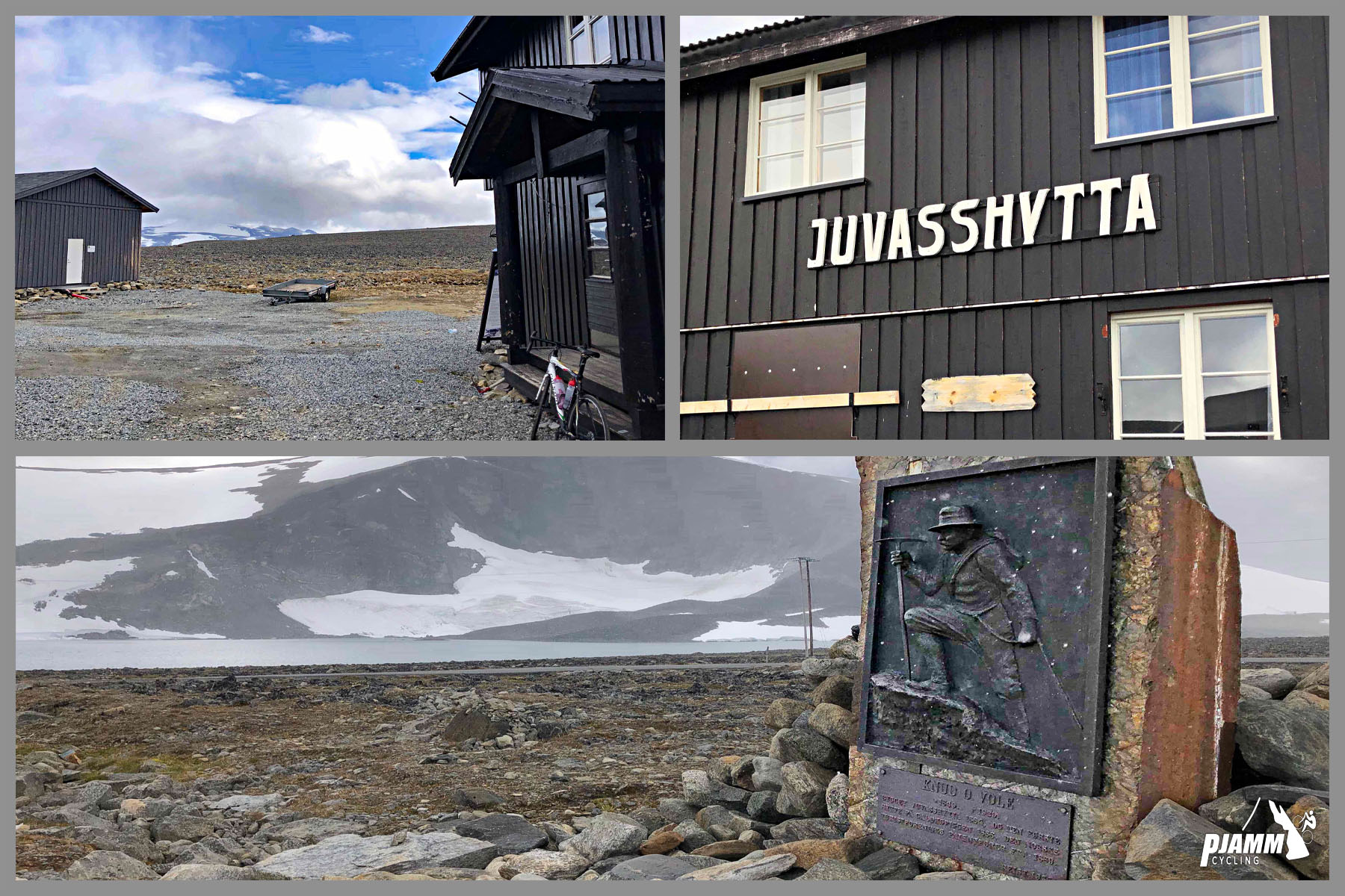
Juvasshytta is the hardest bike climb in Norway, rising 13 km (8.1 mi) and 1,252 m (4,108 ft) at a 9.6% average grade from Galdbygde, in the Bøverdalen valley, to the Juvasshytta mountain lodge at 1,813 m (5,948 ft) beside the small glacial lake Juvvatnet.

The road - Galdhøpiggvegen, completed in 1936 - is Northern Europe's highest paved public road, and it climbs directly beneath Galdhøpiggen, Norway's tallest peak, through the Jotunheimen mountains. It's a privately owned toll road, staffed by a manned toll station a few kilometers up near the Raubergstulen hut, and it only operates in the short window each year when the road is clear of snow and the ski center and lodge at the top are open - typically mid-May into early autumn.

The surface is paved the entire way but genuinely rough in places, and the grade holds unusually steady in the double digits for long stretches - about 55% of the climb sits between 10-15%. It's a serious, high-altitude effort in a genuinely remote setting, about a 5-hour drive from Oslo, that rewards riders with glacier views and one of the highest finishes of any paved climb in Europe.

PLAN YOUR ROUTE

We've partnered with Sherpa-Map.com to bring you the best route planning tool. With a PRO Membership you can use this climb as a reference when creating your route.
This climb has a 9.6% average grade for 13 kilometers (8.1 mi).  55% of this climb is in the 10-15% grade range.  The steepest 500 meters (0.3 mi) is 13.8% and steepest two kilometers (1.2 mi) are 12.4%.

See more details and tools regarding this climb's grade via the “Profile Tool” button.
Roadway:  Paved the entire way, though the surface is genuinely rough in sections rather than smooth tarmac - expect a bumpier ride than the grade alone suggests. This is Galdhøpiggvegen, Northern Europe's highest road, a privately-owned toll road with a manned toll station a few kilometers up near the Raubergstulen hut. It operates only in the snow-free season, typically mid-May into early autumn - confirm current opening dates and conditions at juvasshytta.no before you go.

Traffic:  Light. Most traffic is tourists driving up to the Juvasshytta lodge and the Galdhøpiggen summer ski center rather than through traffic, since the road is a dead end.

Parking:  On the side of the road near the start of the climb - MapStreet View.
Provisions:  There is nothing on the route until you reach Juvasshytta at the finish. 
Before heading out on any cycling adventure check out our Things to Bring on a Cycling Trip and use our interactive check list to ensure you don't forget anything.

Consider staying at Juvasshytta for your trip - a two-star mountain hotel right at the finish with good Google Reviews. Given how remote and high-altitude this finish is, it's worth checking conditions at the top with our Weather tool before you commit to the climb.

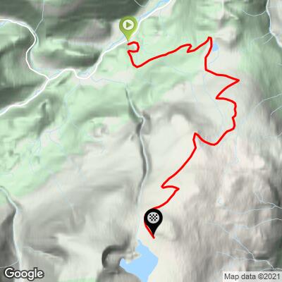
ROUTE MAP
MEMBER RATING

Difficulty: Strenuous
3/5
Road
5/5
Traffic
5/5
Scenery

CURRENT WEATHER

PJAMM TRIPS ADVENTURE STARTER BUNDLES

Check out PJAMM Adventure's prepackaged (self-guided) cycling trips. They will help you plan, document and conquer your next adventure.
ALL TRIPS
Browse all of our prepackaged trips and find your next adventure!

NEARBY CLIMBS (0) RADIAL PROXIMITY

FROM
No Climbs Found

MEMBER REVIEWS & COMMENTS

Let us know what you thought of this climb. Signup for our FREE membership to write a review or post a comment.
Already have an account?

Jul 4, 2024
difficulty: Strenuous
scenery: 5
traffic: 5
road: 3
Jul 4, 2024
scenery: 5
traffic: 5
road: 3
August 2016. What a scenery. At the top below 0°, shivering descent.
ROUTE MAP
PROFILE TOOL
Route Data
S.G. (%)
hide
Segment Data
hide
CLIMB SUMMARY

Cycling Juvasshytta - Norway #1 / World #92

Ride 13 kilometers gaining 1,252 meters to elevation 1,813 meters at 9.6% average grade

Photos from PJAMM friend and contributor Ard Oostra, CH.

.

This extremely challenging climb begins in Galdbygde on the Bovra River and ends at the Juvasshytta Lodge near the shores of Juvvatnet.  While a bit of a treck to get to (350 kilometers and 5 hours from Oslo), it is worth the drive and as with all Norwegian climbs, the drive to it is peaceful, rural and scenic.

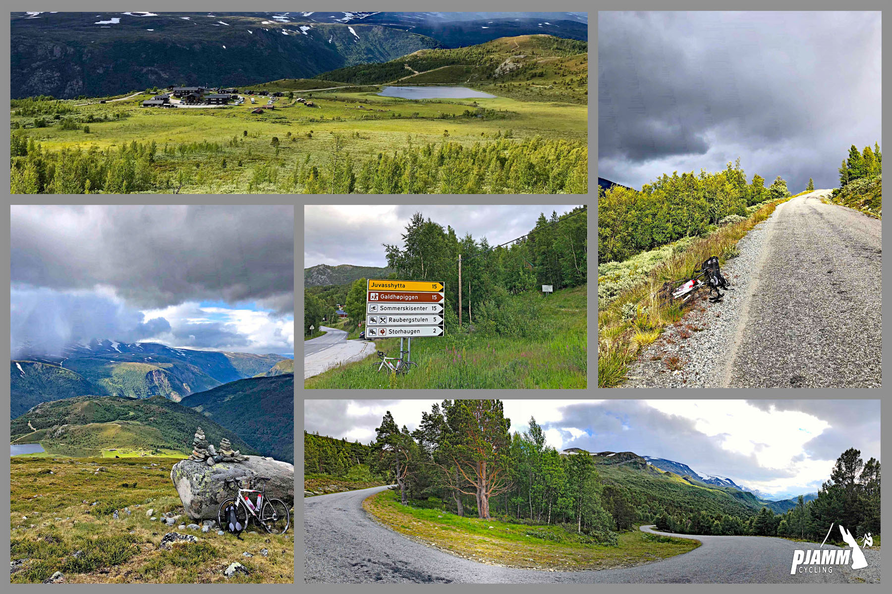
First half of climb

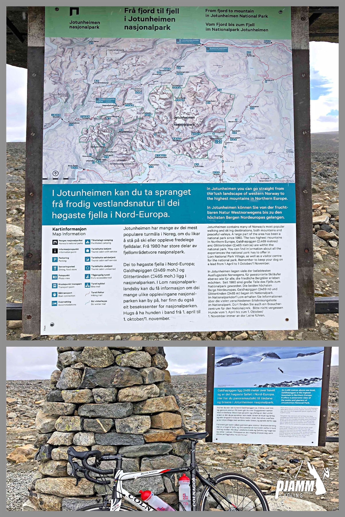
This climb is situated in the Jotunheimen Mountain Range in southern Norway and is a subrange of the Scandinavian Mountains.   The highest mountains in Norway are situated in the Jotunheimen Range.

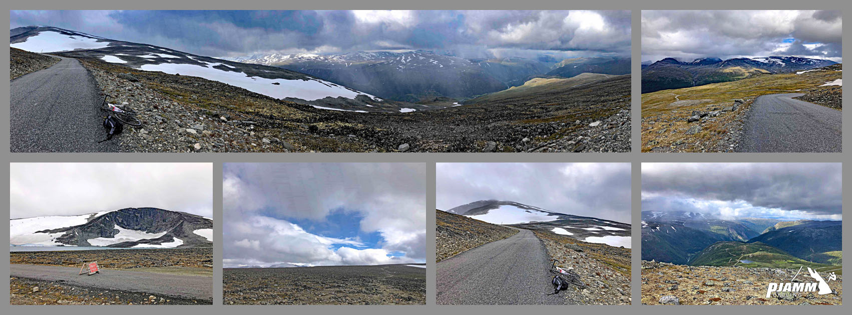
Second half of climb.

The road to the top of this climb is rough but paved the entire way.

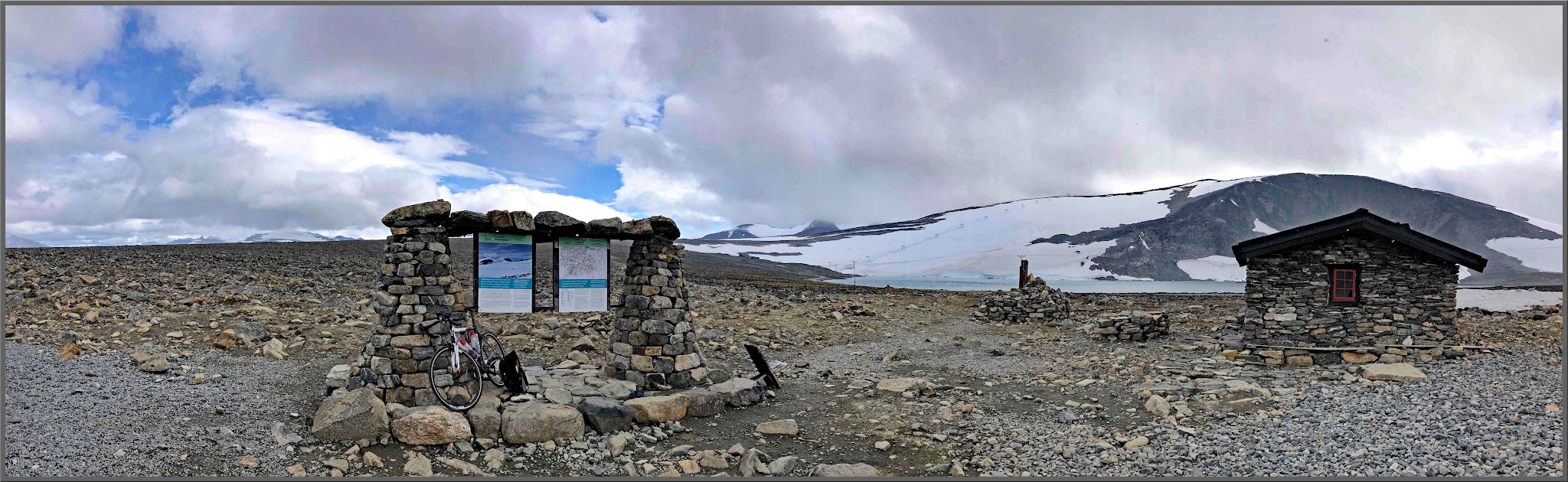
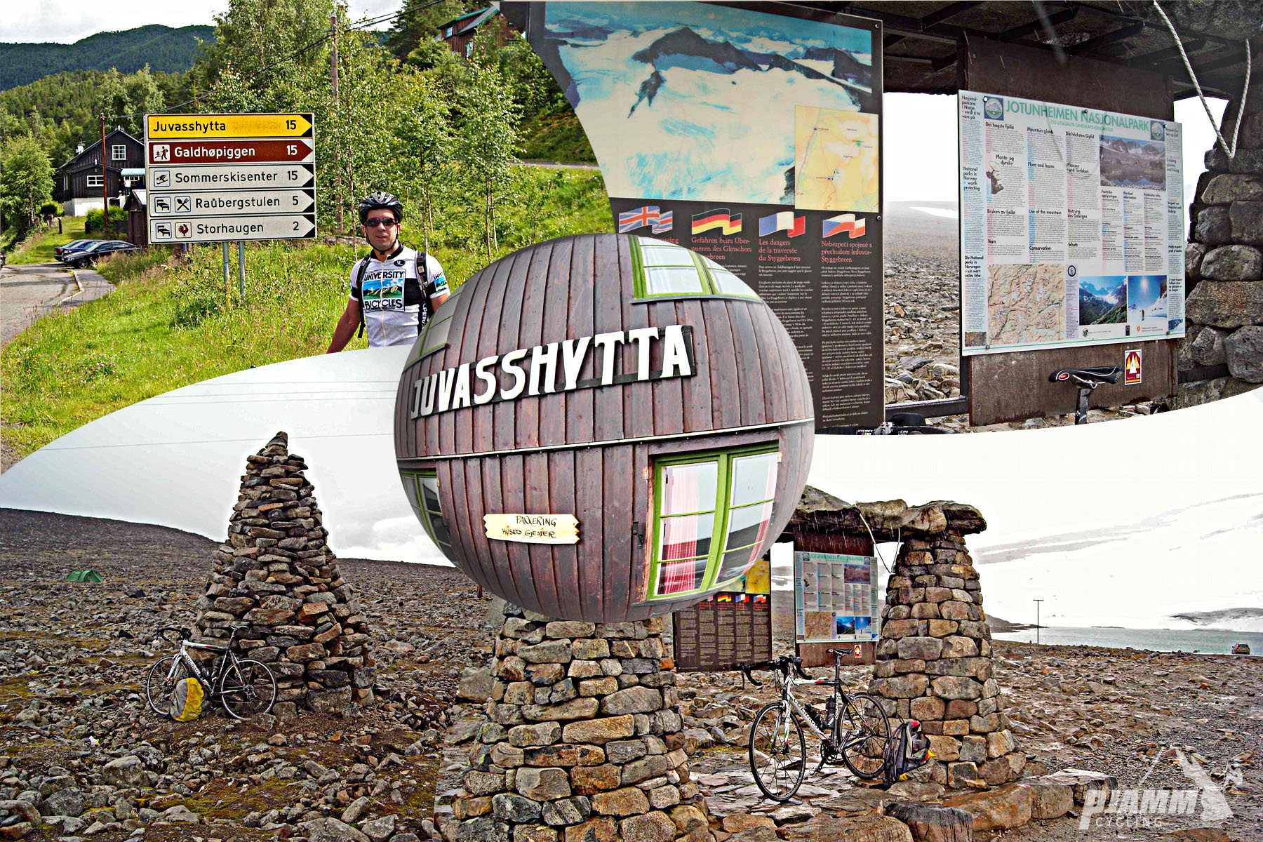
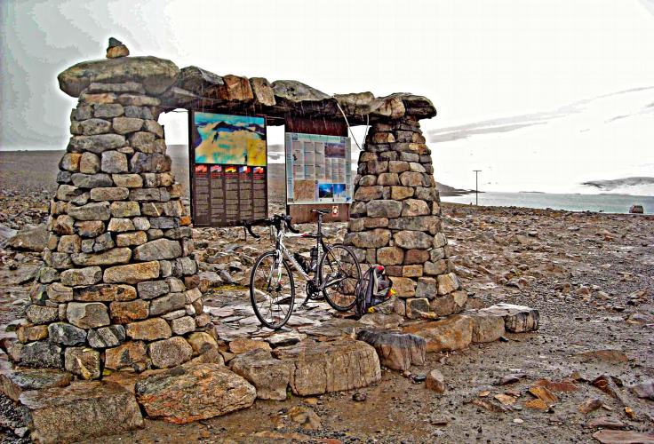
Top

Juvasshytta Mountain Lodge