![Cycling Bowland Knotts, England bike parked against old street signs at intersection of Clapham and Slaidburn]()
Cycling Bowland Knotts, England
This climb is in Forest of Bowland Area of Outstanding Natural Beauty. The area was designated as an AONB in 1964 and is one of 34 in the United Kingdom. This climb was not on our radar on our first trip to document climbs in the UK in 2018. However, Simon Warren (100 Greatest Cycling Climbs, UK) provided us his list of Top 10 Most Epic Climbs in England, and Bowland Knotts was listed #9. Per Warren’s recommendation, we included this climb while we were in Yorkshire and are very glad we did.
![Cycling Bowland Knotts, England photo collage, pastureland, cows grazing]()
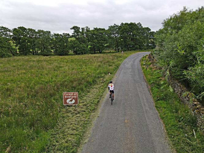
Deep in the farmlands of the Yorkshire hills, Bowland Knotts begins just past an old stone bridge. The opening miles are a real tease, as you pass a couple of homesteads and the everpresent sheep that roam freely out in this area. Don’t be fooled by the seemingly standard Yorkshire scenery here though (and even here the sight is really something quite unique). Past the midpoint of the climb, you’ll leave the farms behind as the road cuts across the barren Yorkshire landscape and the scenery has the feeling of being from a strange separate planet. On the day that I rode Bowland Knotts, the wind was absolutely howling and the clouds threatened rain. I have to think this weather is very common for this area. A few last kicks of gradient bring you to the summit point marked by massive boulders on either side of the road.
![Cycling Bowland Knotts, England photo collage, climb start, aerial drone view of stone train bridge and River Wenning]()
Climb begins by riding under a train bridge and then over the River Wenning.
![Cycling Bowland Knotts, England photo collage, wide open spaces and unobstructed views of pastureland]()
We are quickly into the wide open spaces of the “Forest” of Bowland.
![Cycling Bowland Knotts, England aerial drone view shows roadway cutting straight path through otherwise unobstructed brown-green pastureland]()
![Cycling Bowland Knotts, England climb finish at boulders in pastureland; bike parked against sign for Cattle Grid; horse drawn vehicles and animals]()
Finish at the boulders.
![]()
That’s a wrap!

 We've partnered with Sherpa-Map.com to bring you the best route planning tool. With a PRO Membership you can use this climb as a reference when creating your route.

