26.9
PDI
7.9 mi
DISTANCE
3,681 ft
GAINED
8.6 %
AVG. GRADE
FULL CLIMB STATS
Page Contributor(s): Heiko Linnert, Germany; Thomas Hugøy, Norway
INTRO
Osafjellet climbs 12.7 km (7.9 mi) and gains 1,122 m (3,681 ft) from the fjord at Osa, at the northern tip of the Hardangerfjord, up onto open, windswept fjells on the western fringe of the Hardangervidda highlands, averaging 8.6% the whole way.
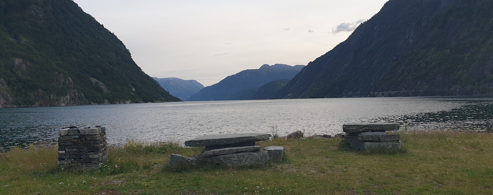
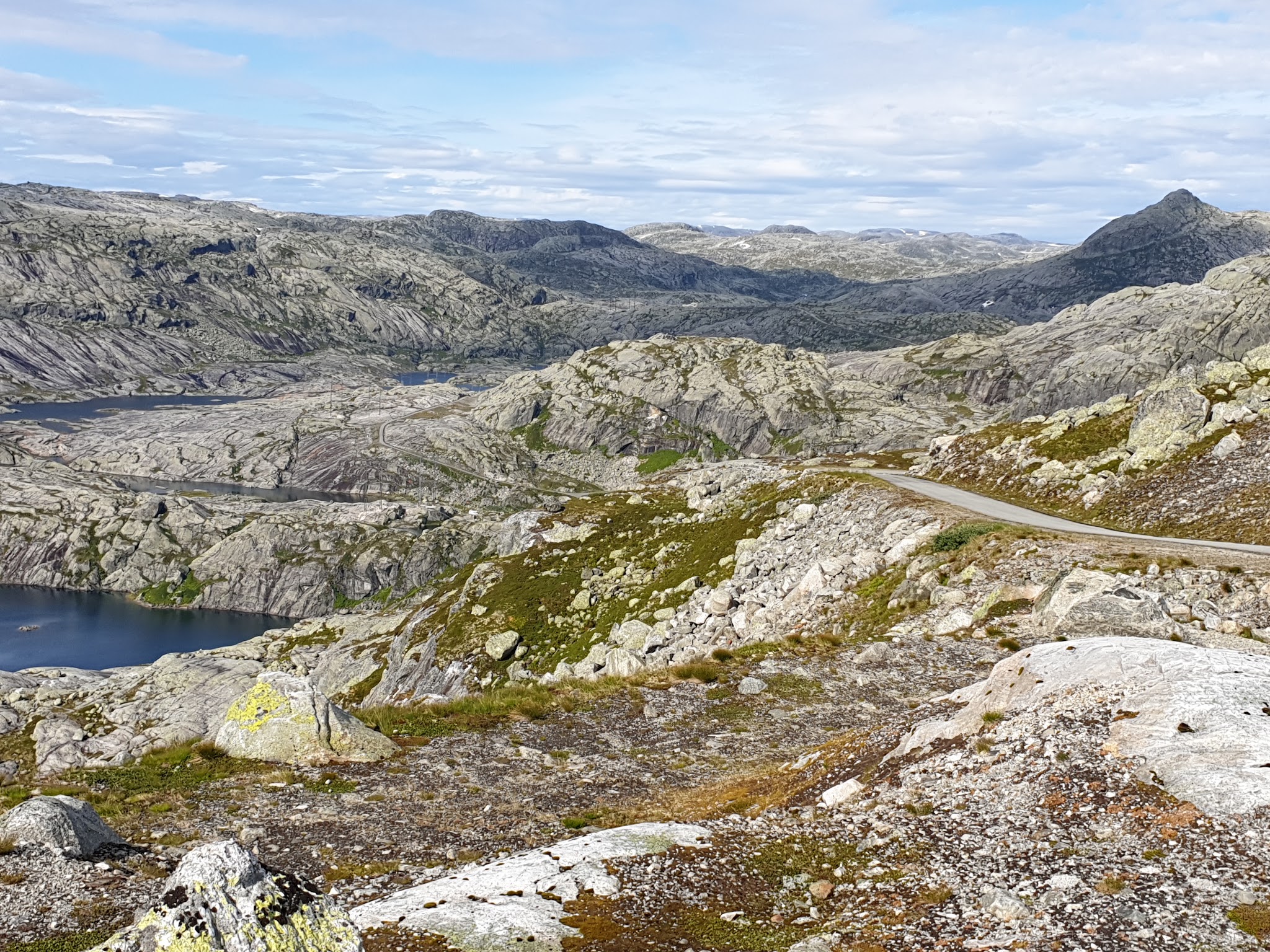
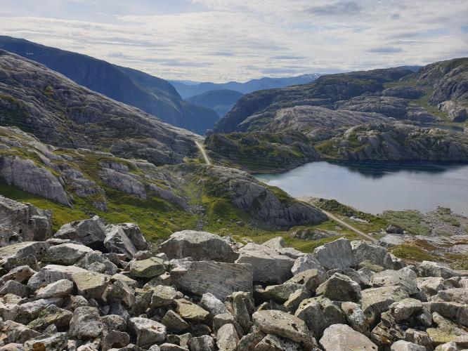
The road switchbacks hard almost as soon as it leaves the fjord, with little flat ground anywhere on the way up, and stays exposed to the weather for nearly the entire climb. Contributors describe it as one of the loneliest, most dramatic climbs in Norway - fjord views open up behind you as you gain height, and there's almost no other traffic to share the road with; it's technically a toll road for cars, but motorized vehicles are rare.
Osafjellet was a regular feature of the Viking Tour stage race between 2010 and 2015, finishing at a timing line marked by a large rock partway up the mountain - the road itself continues higher before eventually dead-ending, but this is where the climb and the Strava segment are measured. Weather here can turn quickly regardless of the forecast down at the fjord; snow has closed the upper kilometers even in early summer in recent years, so it's worth checking current conditions before committing to the full climb.
PLAN YOUR ROUTE
 We've partnered with Sherpa-Map.com to bring you the best route planning tool. With a PRO Membership you can use this climb as a reference when creating your route.
 Osafjellet's overall average of 8.6% actually undersells it. The steepest kilometer averages 11.5%, with a half-kilometer stretch touching 12.6%, and even the steepest 10-kilometer block - which covers nearly the entire route - still averages 9.4%. There's very little genuine recovery anywhere on the climb: once the road tips upward out of Osa, it holds a demanding pitch nearly straight through to the finish.
The fiets difficulty score of 9.48 reflects that sustained steepness, more than sheer length, is what makes this climb hard - at under 13 km it's not a marathon, but there's nowhere to recover a rhythm once you're on it.
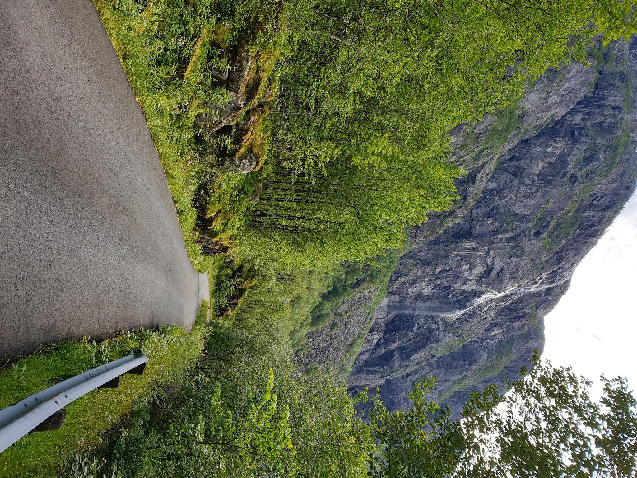
Roadway: The road is paved throughout; a contributor reported many sections repaved and in good condition as of 2019, and it has held up well since. It's technically a toll road for cars, open seasonally (roughly May-September, weather permitting) and closed to through traffic in winter and shoulder season. Even in early summer, snow can linger on the upper kilometers - a 2024 visitor account describes the road blocked by snow within 2 km of the top in June - so check current conditions before an early-season attempt.
Traffic: Motorized traffic is rare even though it's technically a toll road for cars - most of what you'll encounter is other cyclists. There's no meaningful commercial or commuter traffic on this dead-end mountain road.
Parking: Park near the fjord at Osa, close to where road Fv300 meets Osavegen at the base of the climb. Ulvik, a few kilometers back along the fjord, has more formal parking near its harbor if you'd rather start there and treat the ride out to Osa as a warm-up.
If you're riding in to Osa before starting the climb, you'll need a strong bike light: there's an unlit tunnel on the approach road that's pitch black inside and genuinely difficult to navigate without one. The climb itself also passes through a short tunnel, which is generally manageable without a light depending on the outside conditions.
Because the road stays exposed nearly the whole way up and weather here changes fast, pack real rain and wind protection regardless of how clear it looks at the fjord - conditions at the top can be dramatically different from the start.
Before heading out on any cycling adventure check out our Things to Bring on a Cycling Trip and use our interactive check list to ensure you don't forget anything.
Osa itself is little more than the base of the climb - Ulvik, a few kilometers away on the Hardangerfjord, is the real town for services, with the historic Brakanes Hotel, several other guesthouses, and restaurants along the fjord. Ulvik is also known for its orchards and cider production - part of Norway's only official Fruit and Cider Route - and for its connection to the poet Olav H. Hauge, whose former home is now a small museum in the village.
If you have extra time in the area, Skjervsfossen, a dramatic roadside waterfall a short drive or ride from Ulvik toward Voss, is worth the detour. There's no realistic bike shop in Osa or Ulvik, so arrive with everything you need - the nearest full-service town is Voss, about an hour away by road.
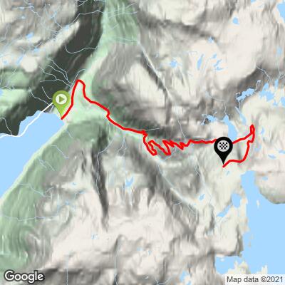
ROUTE MAP
MEMBER RATING
CURRENT WEATHER
PJAMM TRIPS ADVENTURE STARTER BUNDLES
Check out PJAMM Adventure's prepackaged (self-guided) cycling trips. They will help you plan, document and conquer your next adventure.
NEARBY CLIMBS (0) RADIAL PROXIMITY
FROM No Climbs Found
MEMBER REVIEWS & COMMENTS
Let us know what you thought of this climb. Signup for our FREE membership to write a review or post a comment.
Already have an account?
LOG IN HERE