25.7
PDI
16.7 mi
DISTANCE
4,771 ft
GAINED
5.2 %
AVG. GRADE
FULL CLIMB STATS
Page Contributor(s): Erwan Treguier, Brittany, France
INTRO
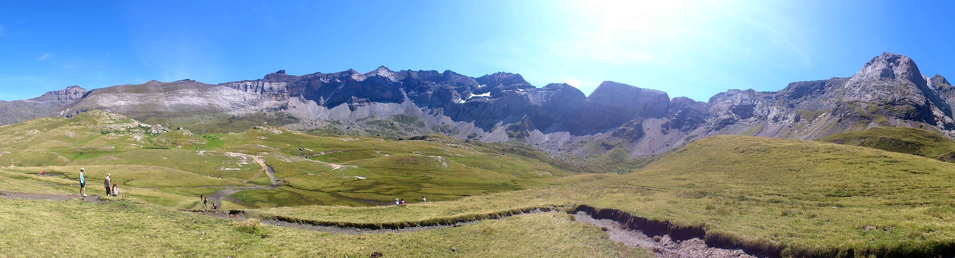
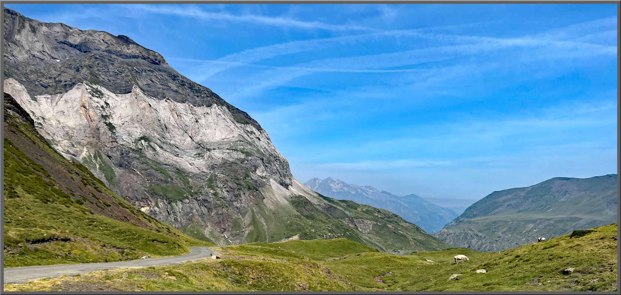
Cirque de Troumouse is one of two legendary dead-end climbs that branch off the Gorge de Luz south of Luz-Saint-Sauveur and Col du Tourmalet, in the far western French Pyrenees near the Spanish border. The ride is 26.8 km (16.6 mi), gaining 1,454 m (4,771 ft) at a 5.2% average grade, following the Gave de Gavarnie through Gèdre before climbing to a huge natural amphitheater at 2,087 m (6,847 ft) - one of the largest glacial cirques in Europe, ringed by peaks over 3,000 m.
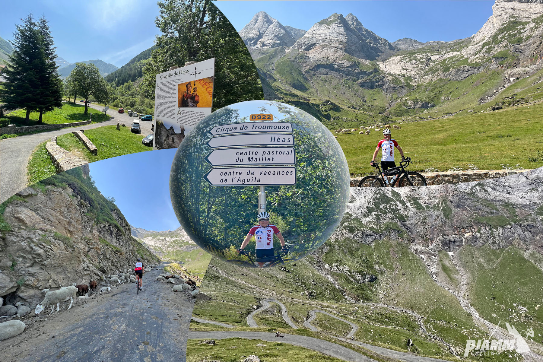
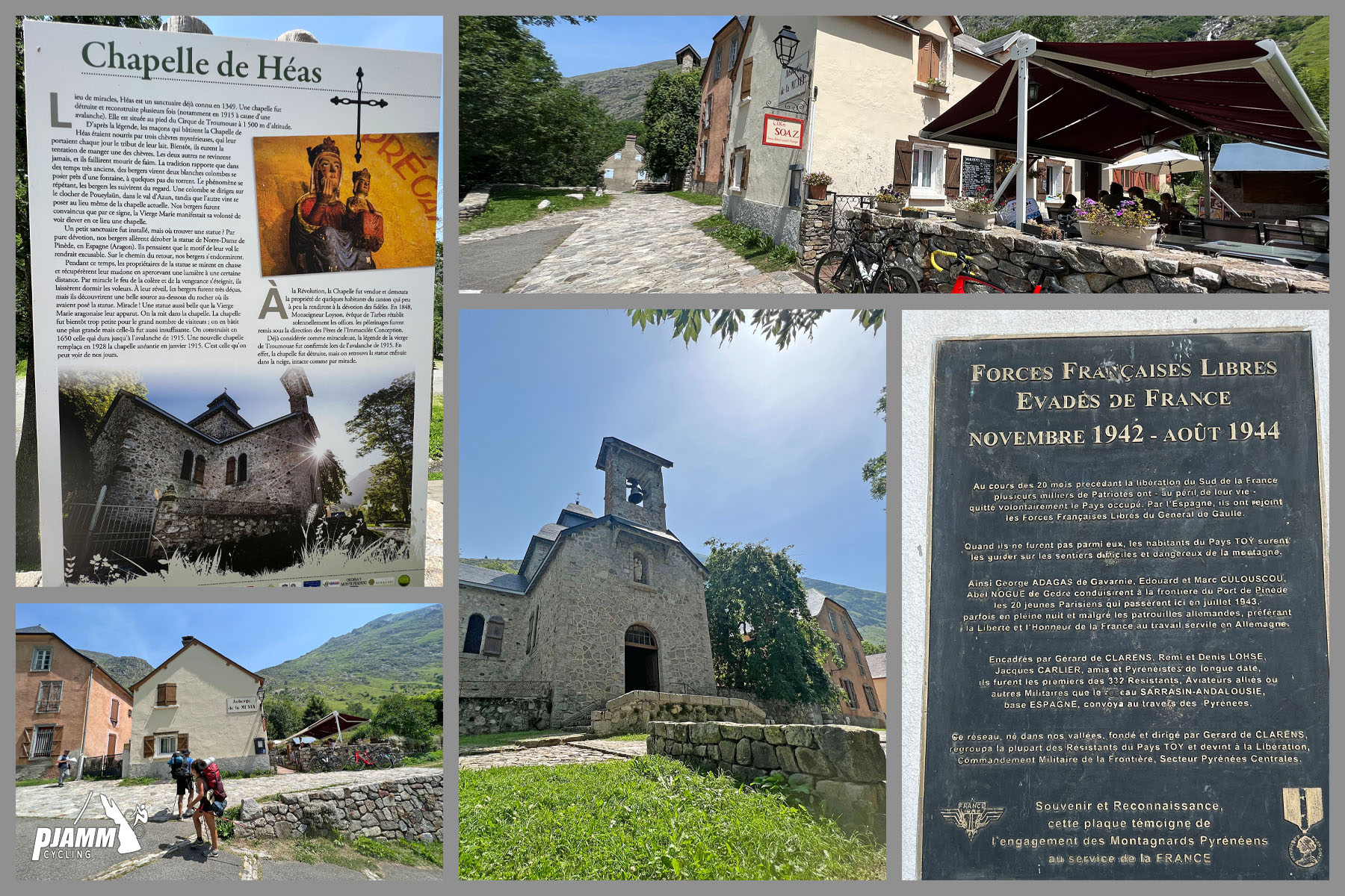
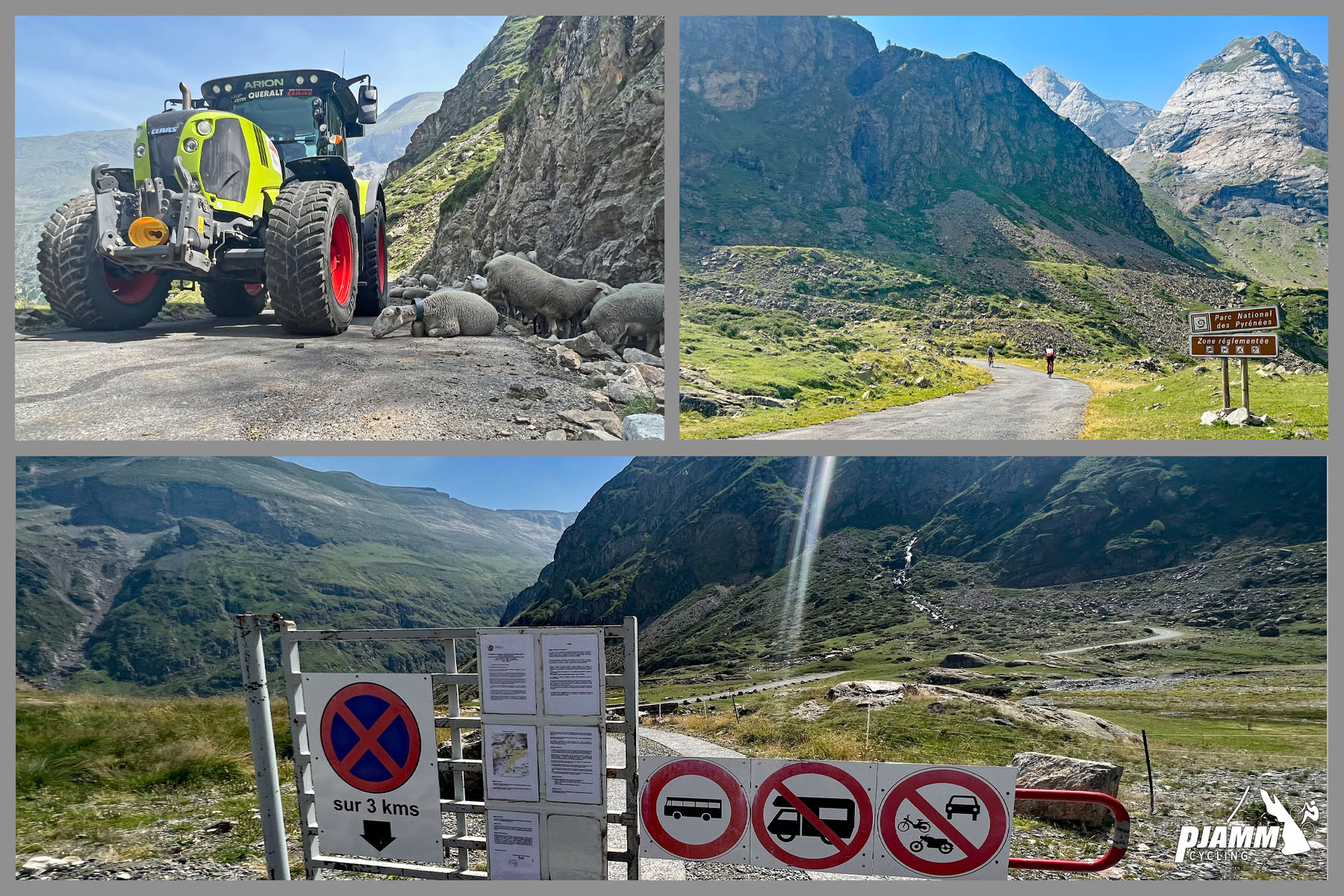
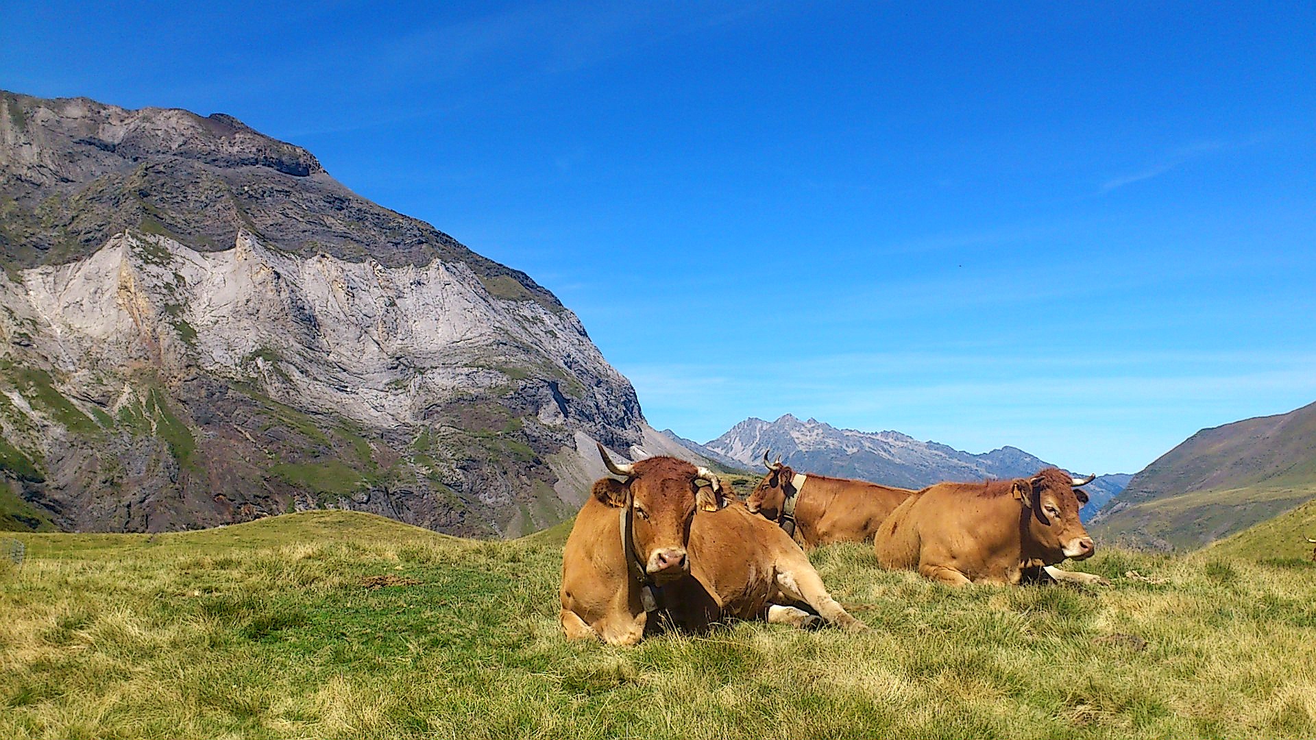
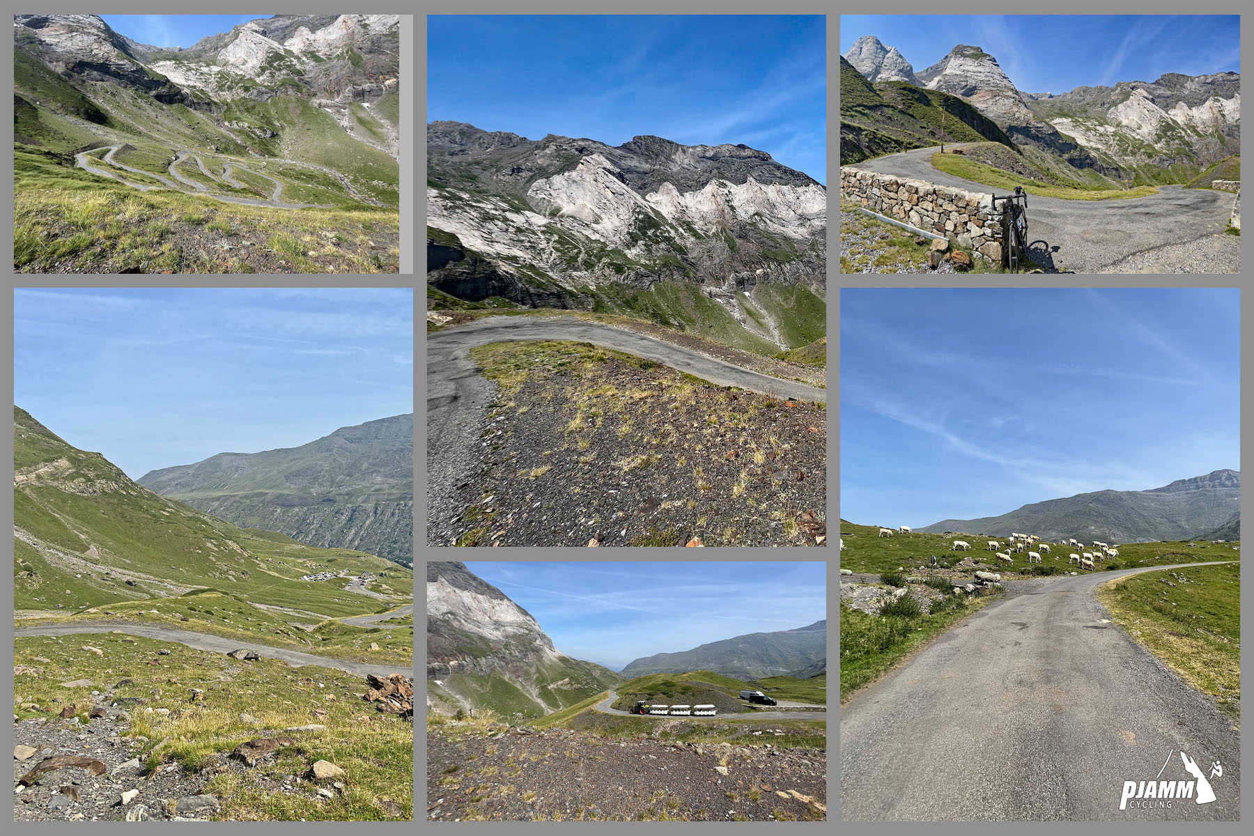
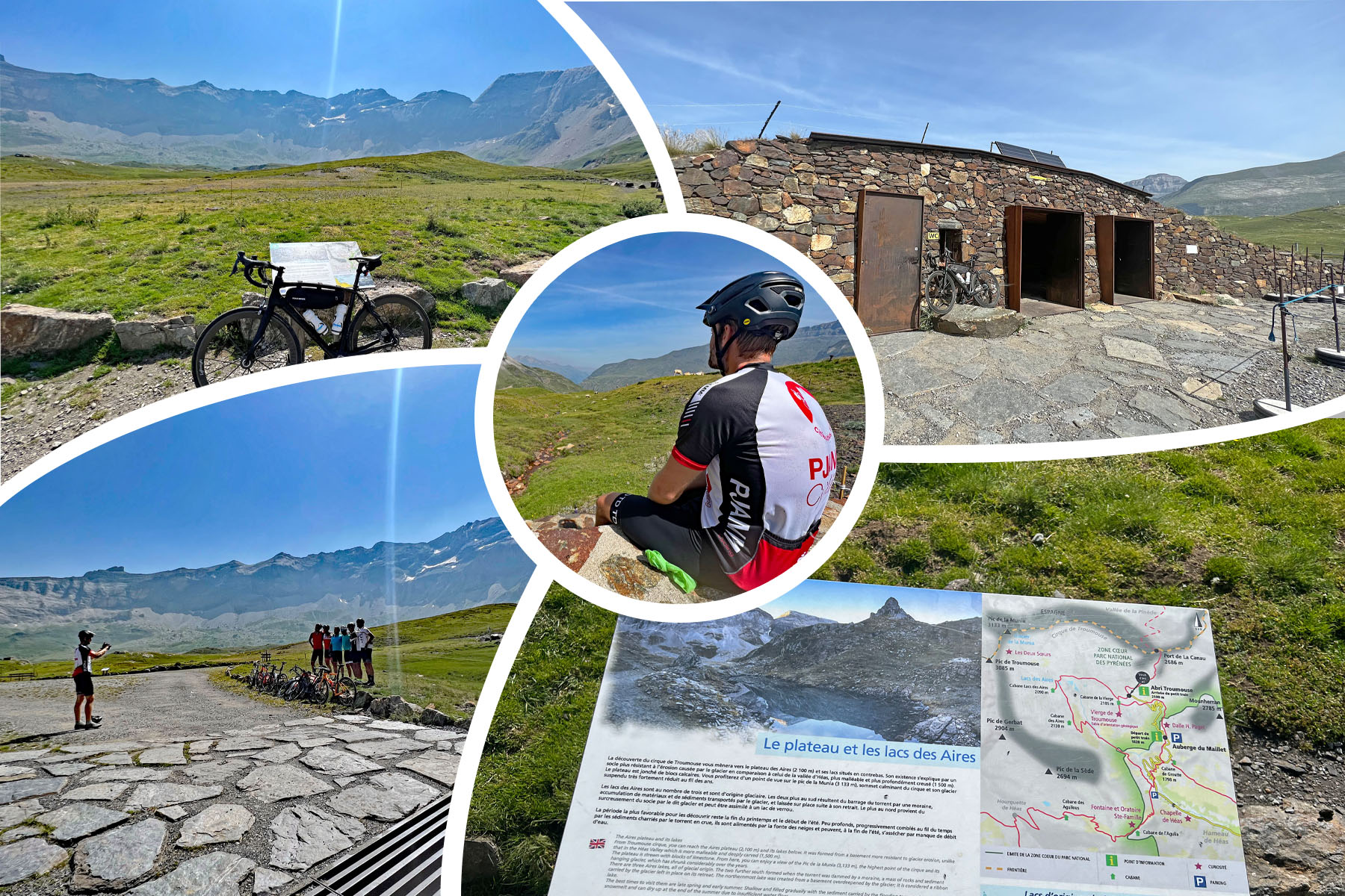
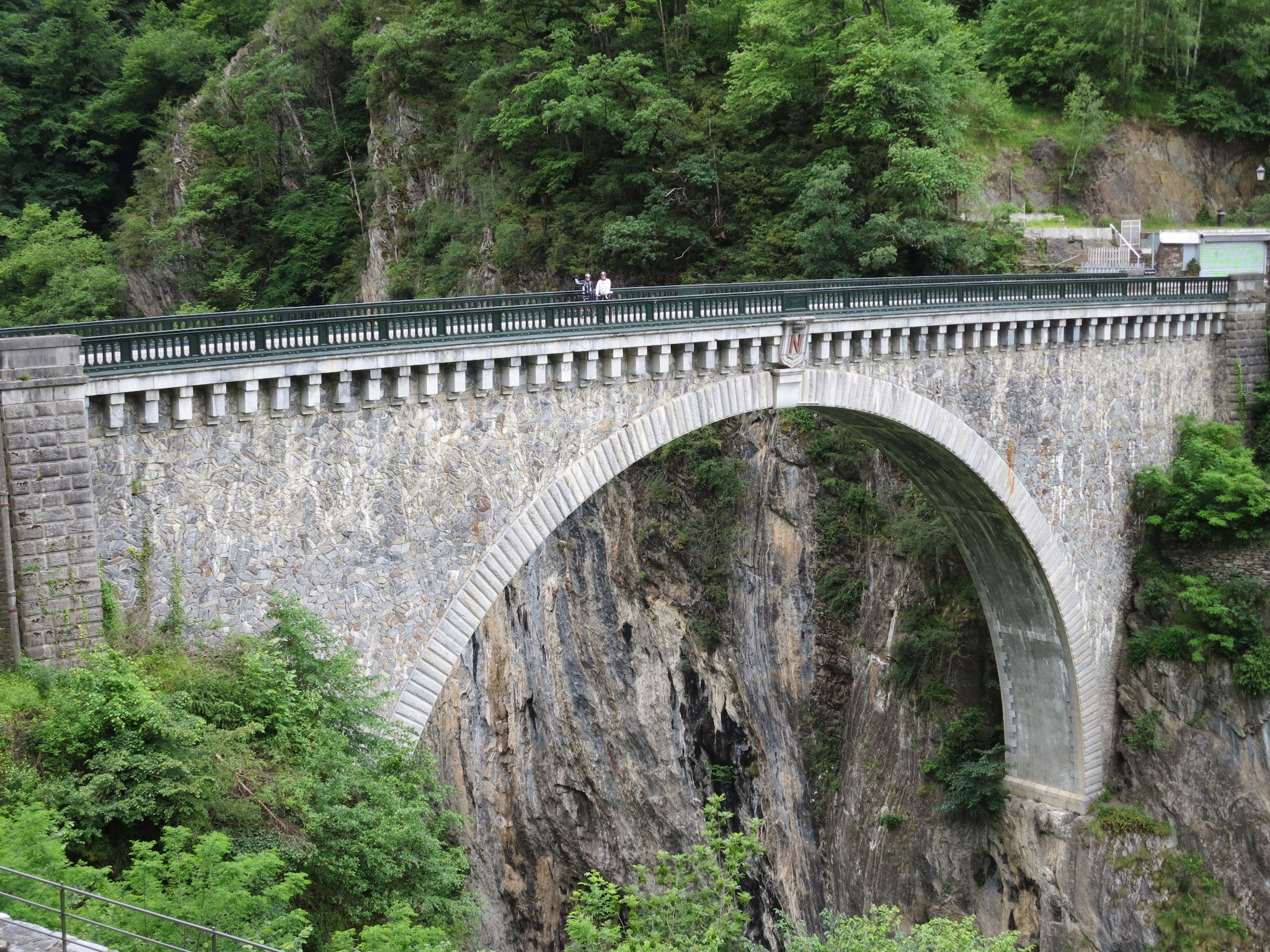
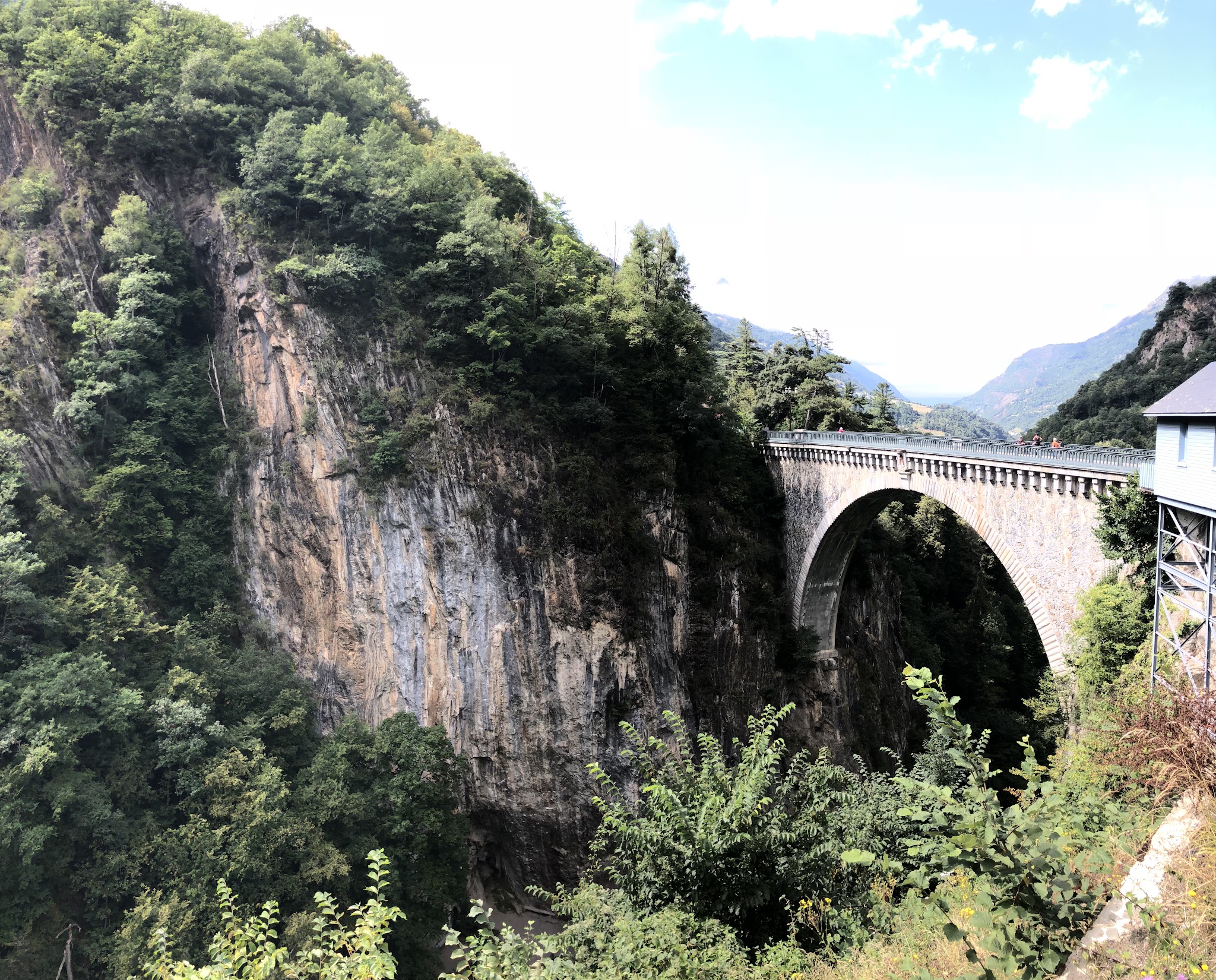
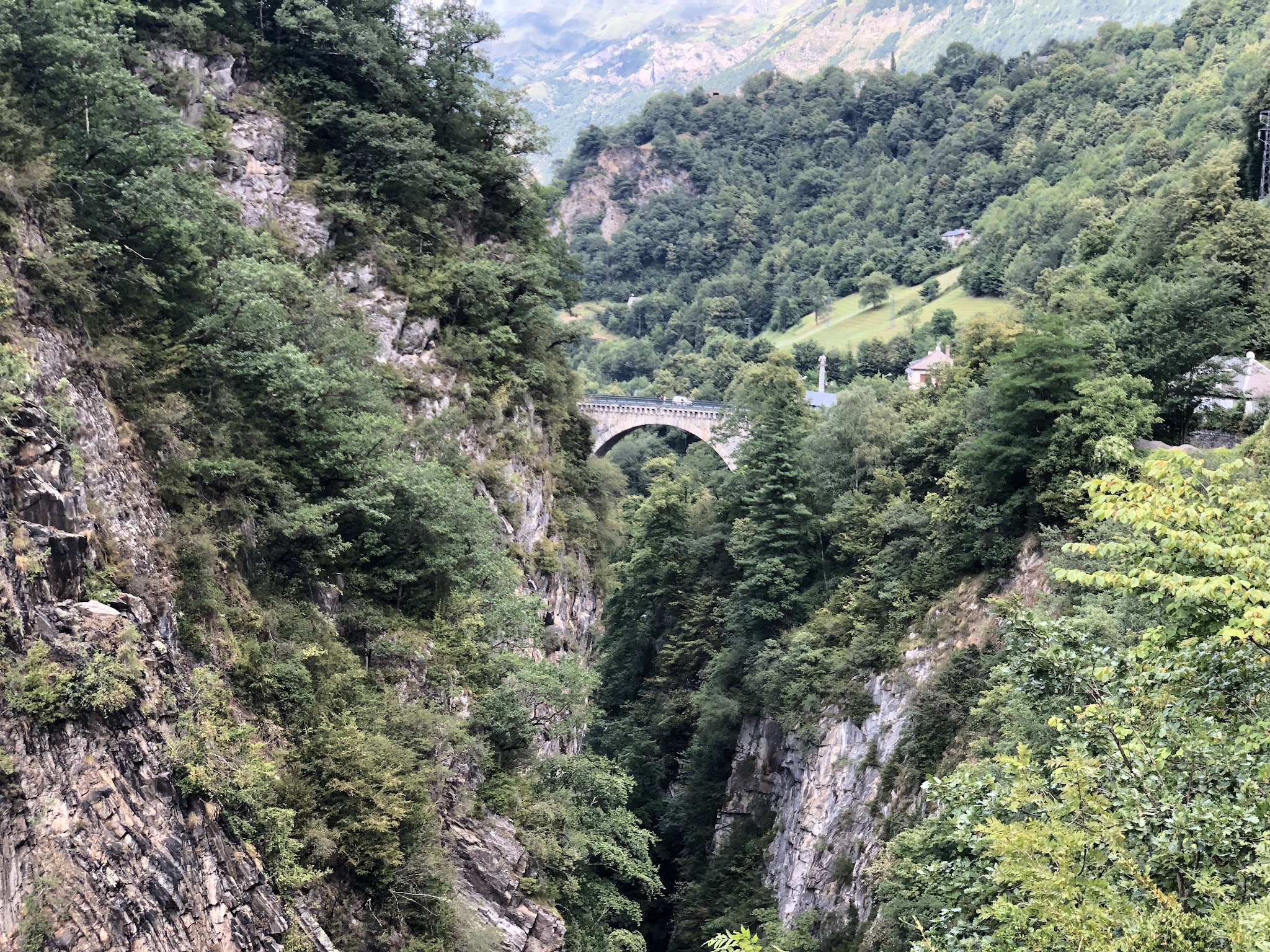
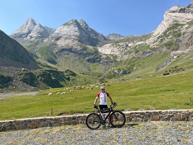
The road crosses three streams - Héas, Aguila and Maillet - and the Pont Napoléon, a striking stone bridge over the Gave de Gavarnie, along the way. Sheep and cattle graze right on the pavement in places, so this is genuine alpine-pasture riding, not just a mountain road. The final push is nine hairpins in 1.4 km at 9%, beginning about 2 km from the finish, before the road ends at a parking area and trailhead below the Cirque - a short walk from there reaches a viewpoint over the amphitheater and a statue of the Virgin Mary at the Chapelle Notre-Dame de Héas.
The road is only open seasonally, roughly May through October, and car traffic is now barred from the upper section during the day from June through October, with a shuttle running visitors up from the Maillet plateau instead. Cyclists are exempt from both the toll and the restriction and can ride the full climb at any hour it's open.
PLAN YOUR ROUTE
 We've partnered with Sherpa-Map.com to bring you the best route planning tool. With a PRO Membership you can use this climb as a reference when creating your route.
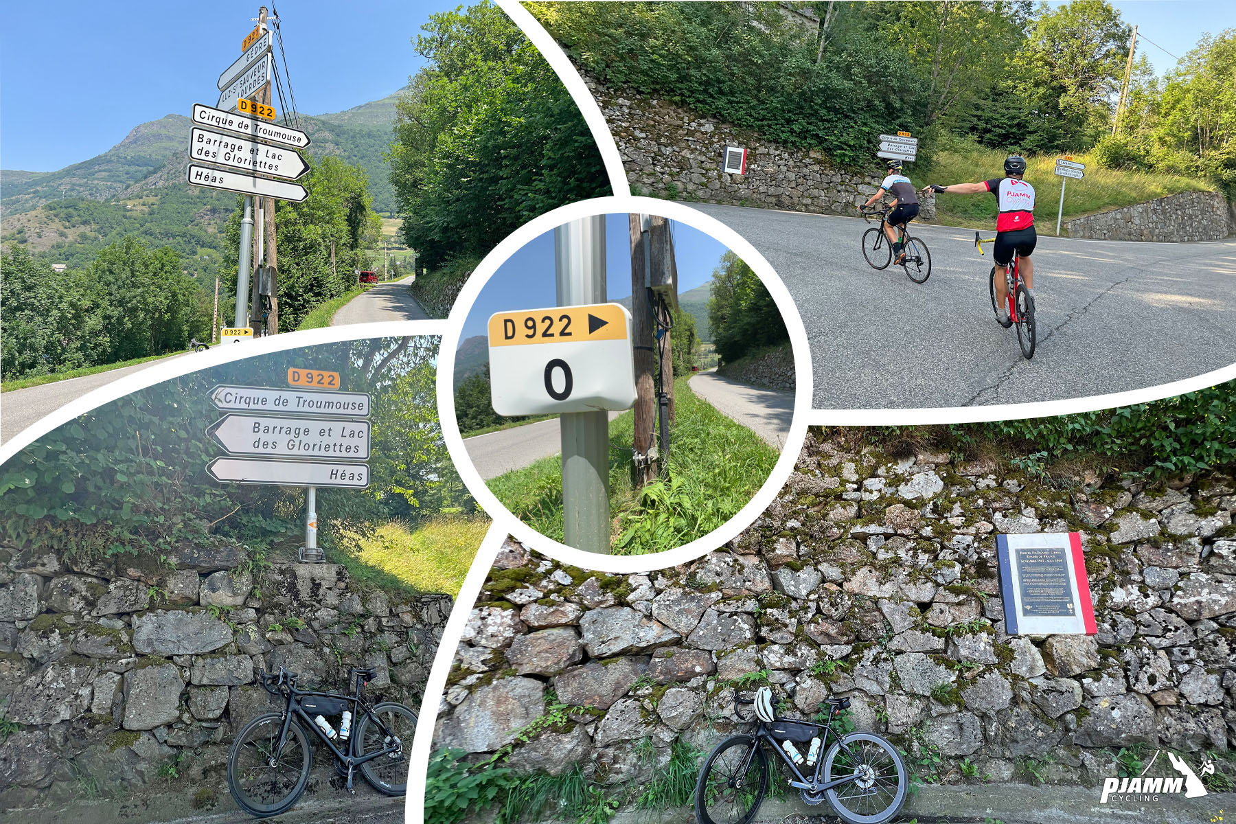
 Ride 26.8 km (16.6 mi) gaining 1,454 m (4,771 ft) at a 5.2% average grade, starting from 705 m (2,312 ft) and finishing at 2,087 m (6,847 ft). The steepest kilometer averages 10.5% and the steepest 500 meters 12.0%, with short ramps up to 15.1% (100 yards) on the final hairpins. In between, several flatter and false-flat stretches along the valley floor offer real recovery - this isn't a constant grind like some Pyrenean climbs.
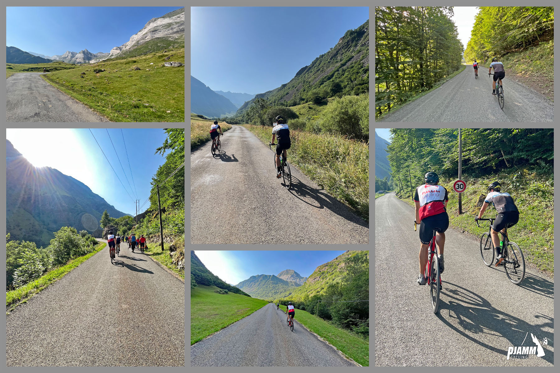
Roadway: Paved and in very good condition the entire way, per recent rider reports. Two lanes for most of the route, narrowing toward the final approach, with a mix of open valley road and tighter mountain switchbacks through the last hairpins.
Traffic: Light to moderate on the lower D921/D922 through Gèdre, dropping off noticeably above the Maillet plateau. Private cars are now barred from the upper section during the day from June through October and use a shuttle instead - cyclists are unaffected by this restriction and can ride the full climb at any hour it's open.
Parking: There's free parking at the Plateau du Maillet if you're driving to the base, or park in Luz-Saint-Sauveur or Gèdre and ride the whole thing from town. No toll or car-traffic restriction applies to bikes anywhere on the route.
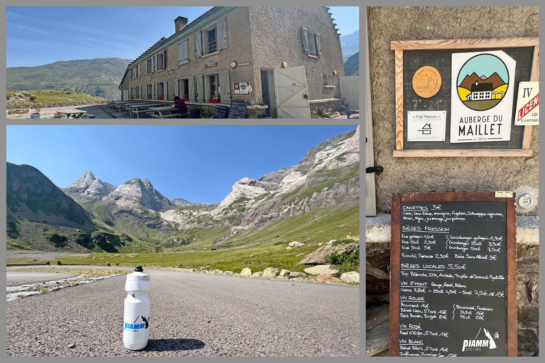
Provisions: Two real options right on the route - Auberge de La Munia around km 19.2 near the Chapelle de Héas, and Auberge du Maillet around km 23.8, both well-reviewed local inns with food and drink. Beyond Gèdre there's little else until you reach one of them.
Gear: Standard road gearing is fine - the grade is moderate and broken up by flatter sections - but bring layers for the exposed high plateau near the finish, which sits above 2,000 m and can be noticeably cooler and windier than Luz-Saint-Sauveur.
Before heading out on any cycling adventure check out our Things to Bring on a Cycling Trip and use our interactive check list to ensure you don't forget anything.
This is one of two epic dead-end climbs that branch off the Gorge de Luz south of Luz-Saint-Sauveur, alongside Col du Tourmalet and Col de Tentes (Cirque de Gavarnie) - of the area's big amphitheater and pass rides, this is the quietest and least touristy.
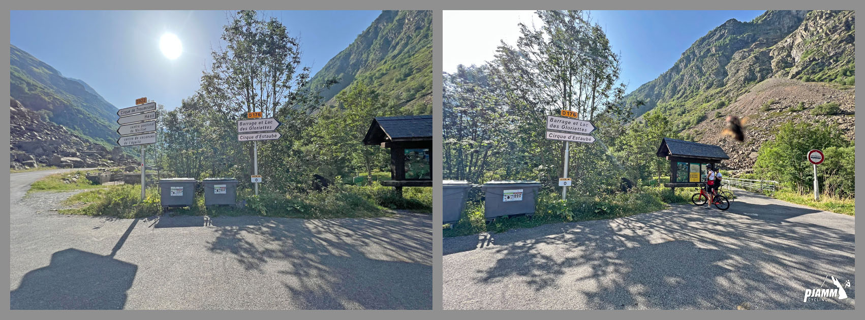
Consider extending the ride to Barrage des Gloriettes, a reservoir and dam reached via a turn at km 17.2, for more distance and a different angle on the valley.
Use the "Routes in the Area" tool to see other bike climbs around Luz-Saint-Sauveur and Gèdre.
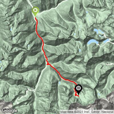
ROUTE MAP
MEMBER RATING
CURRENT WEATHER
PJAMM TRIPS ADVENTURE STARTER BUNDLES
Check out PJAMM Adventure's prepackaged (self-guided) cycling trips. They will help you plan, document and conquer your next adventure.
NEARBY CLIMBS (0) RADIAL PROXIMITY
FROM No Climbs Found
MEMBER REVIEWS & COMMENTS
Let us know what you thought of this climb. Signup for our FREE membership to write a review or post a comment.
Already have an account?
LOG IN HERE
carlinguernsey
The Cirque de Trumouse climb is another good one from Luz St Sauveur. The first part follows the road to Gavarnie. After Gedre, you turn off to the left and leave the world behind. The last 15k or so are more wild, with great scenery and less traffic. Cars have to pay a toll (not bicycles in 2014). As you climb higher, the road gets steeper and it is not as well maintained. The road ends at the parking lot for the Cirque. There is a restaurant a few k from the top, but it is best to take plenty of food and water. If you need some more climbing try the short but steep and narrow road up to the Barrage and Lac des Gloriettes.