25.9
PDI
9.9 mi
DISTANCE
3,769 ft
GAINED
7.2 %
AVG. GRADE
FULL CLIMB STATS
Page Contributor(s): Ron Hawks, Las Vegas, NV; Dan Razum, Campbell, CA; Bruce Hamilton, Laquinta, CA; Stacy Topping, Tacoma, WA.
INTRO
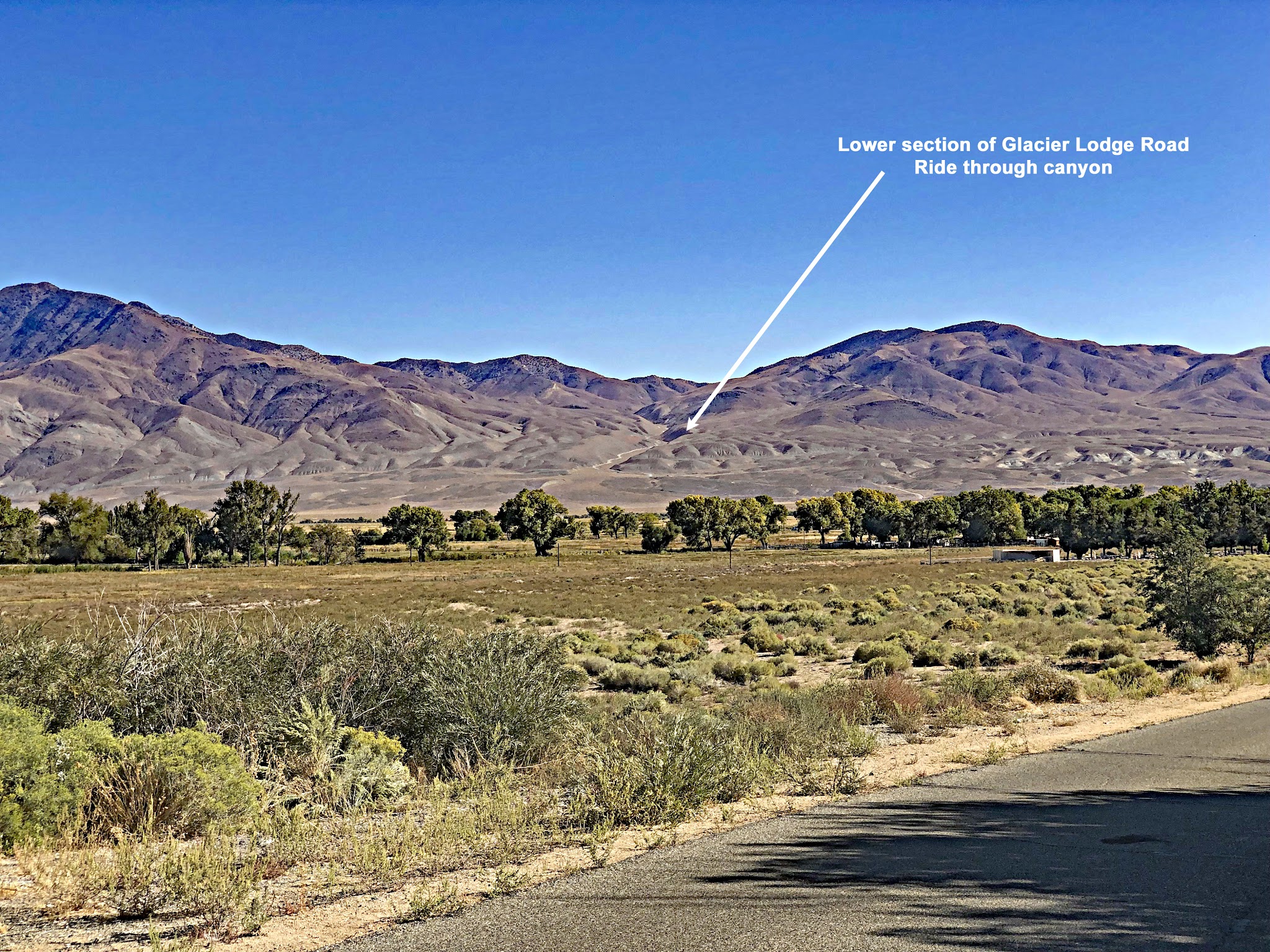
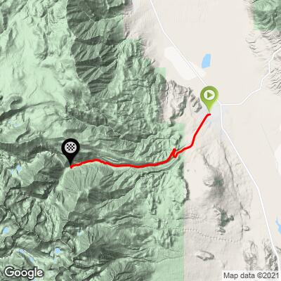
Glacier Lodge Road climbs 9.9 miles and 3,769 feet from the edge of Big Pine, California, up Big Pine Canyon on the east face of the Sierra Nevada, finishing at the end of the road near the Big Pine Creek trailheads at 7,783 feet. The average grade is 7.2% and the steepest quarter mile is 11.5%.
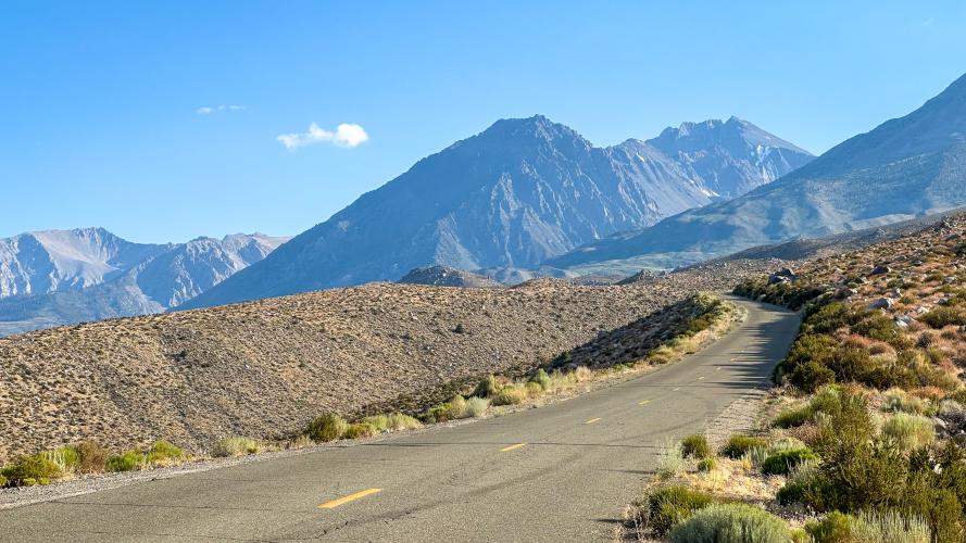
It is a dead-end road, so the only traffic is campers and hikers heading to the trailheads below the Palisades, home to Palisade Glacier, the largest glacier in the Sierra Nevada. Winter storms and flooding do close the road at times (it was closed by flooding in early 2023), so check Inyo County's road status before you go.
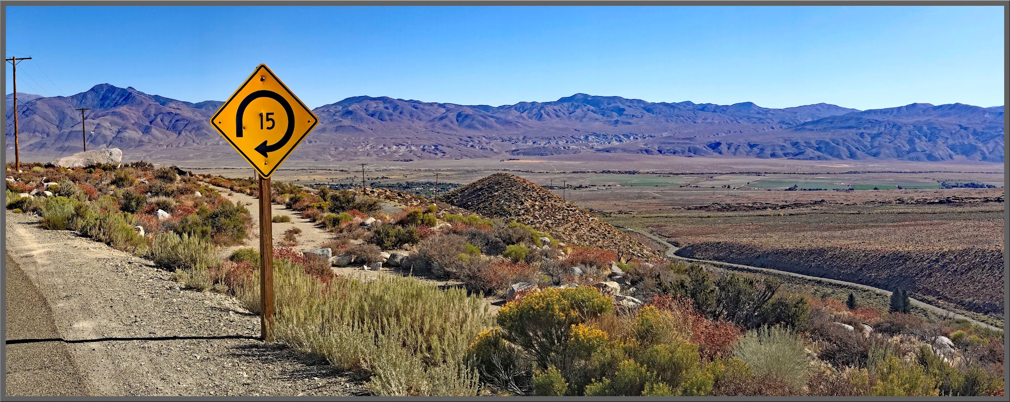
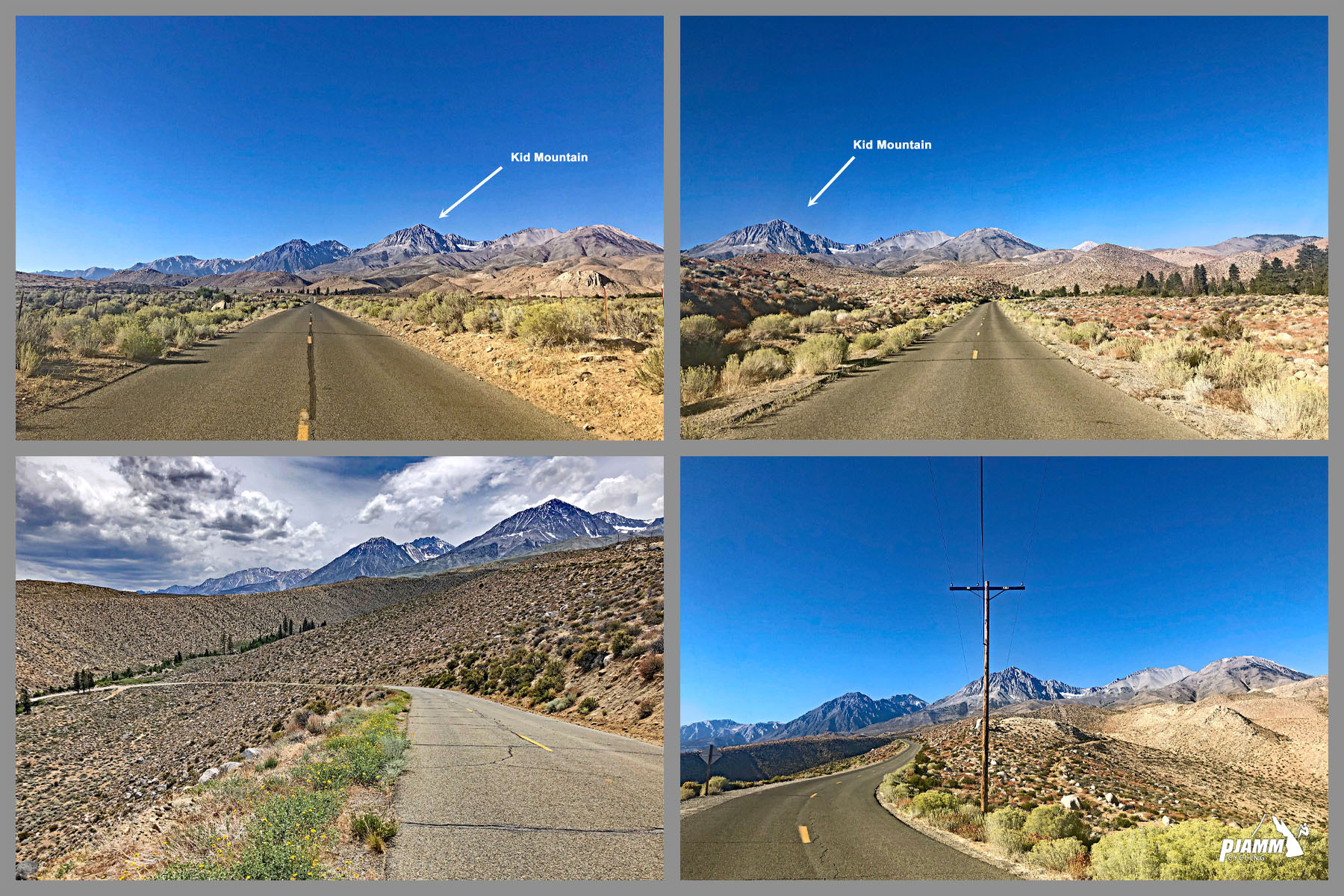
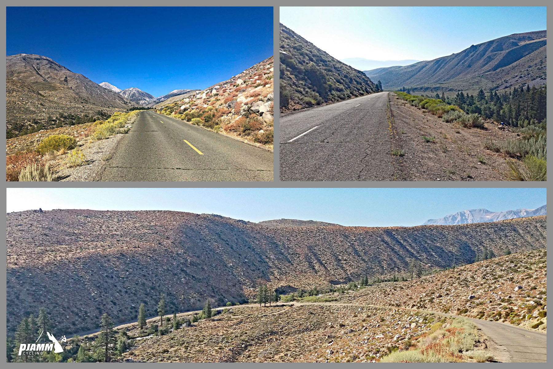
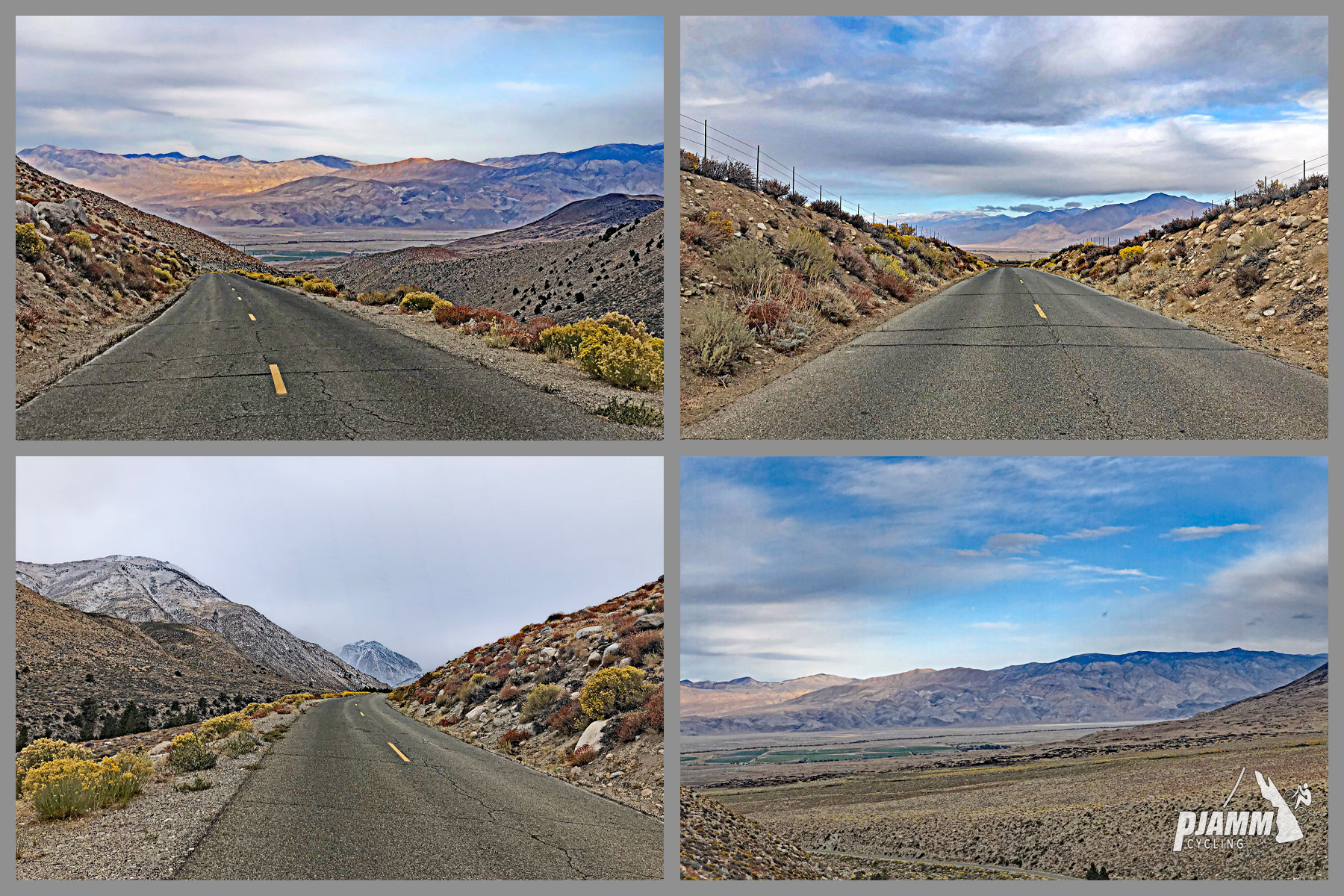
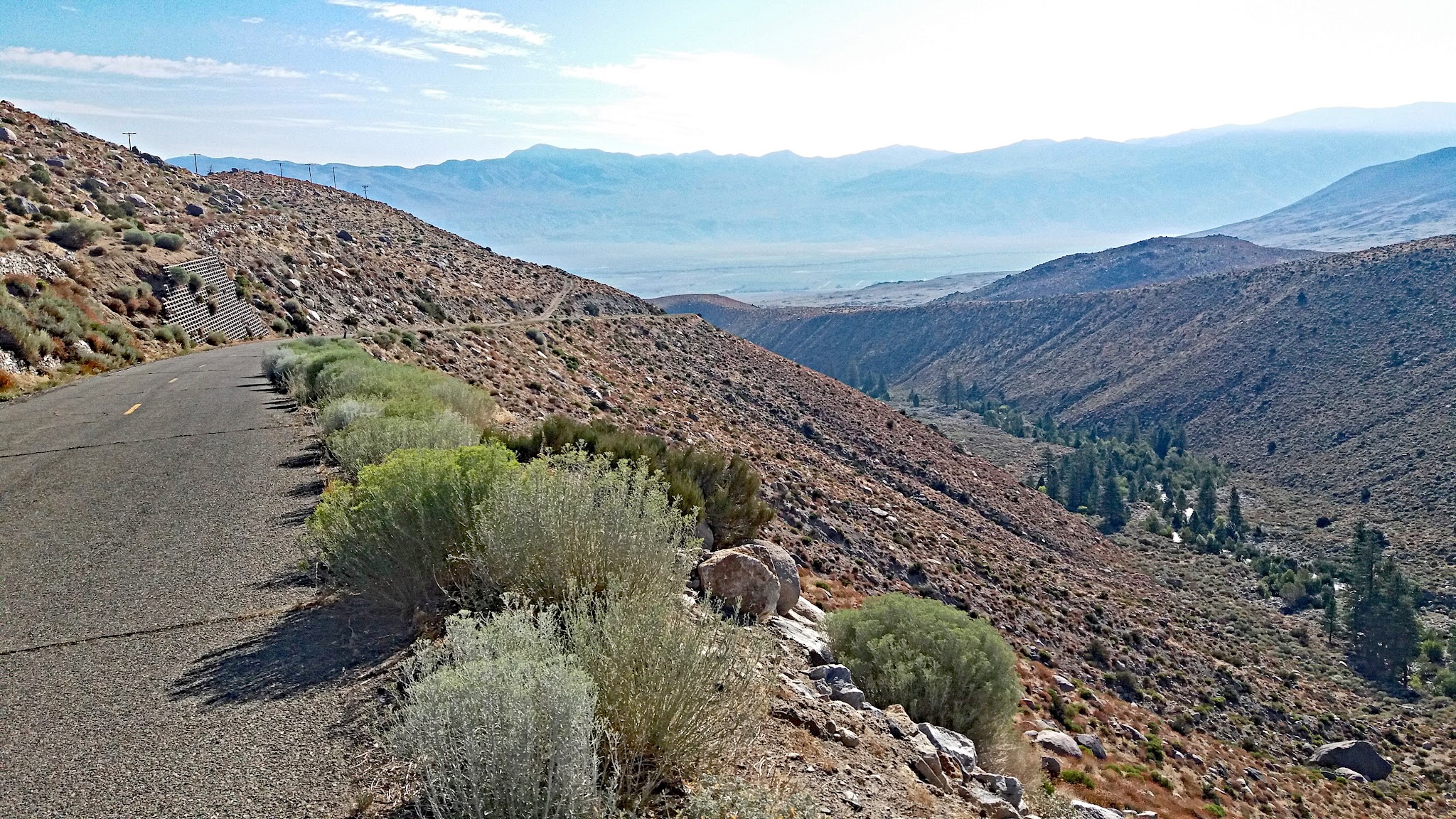
"Glacier Lodge Road is another of the multiple and difficult Owens Valley climbs in eastern California. This one begins in Big Pine, California that leads up the spectacular eastern side of the Sierra Nevada Mountains. It carries a steep and fairly steady grade almost all the way up to a scenic alpine setting...A stout start soon eases and then a cattle guard just under two miles in announces solid grade for the majority of the remainder of the climb. A big switchback approximately 3 miles in will get your attention as it produces steeper climbing with views in places. Toward the top the grade finally eases and some trees begin to appear within the final segment..." (This quote is presented with the approval of John Summerson, from his book, The Complete Guide to Climbing (by Bike) in California, pg. 119.)
PLAN YOUR ROUTE
 We've partnered with Sherpa-Map.com to bring you the best route planning tool. With a PRO Membership you can use this climb as a reference when creating your route.
 The climb averages 7.2% over 9.9 miles. Most of it (5.9 miles, 59.6%) is in the 5-10% range, with another 1.8 miles (17.9%) at 10-15%. The steepest quarter mile averages 11.5%, the steepest half mile 11.1%, and the steepest continuous mile 10.1%. Even the steepest 5 miles average 8.8%, so there is little rest until the grade finally eases near the top.
Roadway: The road is paved to the trailheads and in good shape other than the expansion joints (slight breaks across the roadway every ~10-20 yards on the upper part). For road conditions see Inyo County Road Open/Closed Status.
Traffic: Mild. The road only serves the campgrounds and trailheads at its end, so most vehicles are campers and hikers.
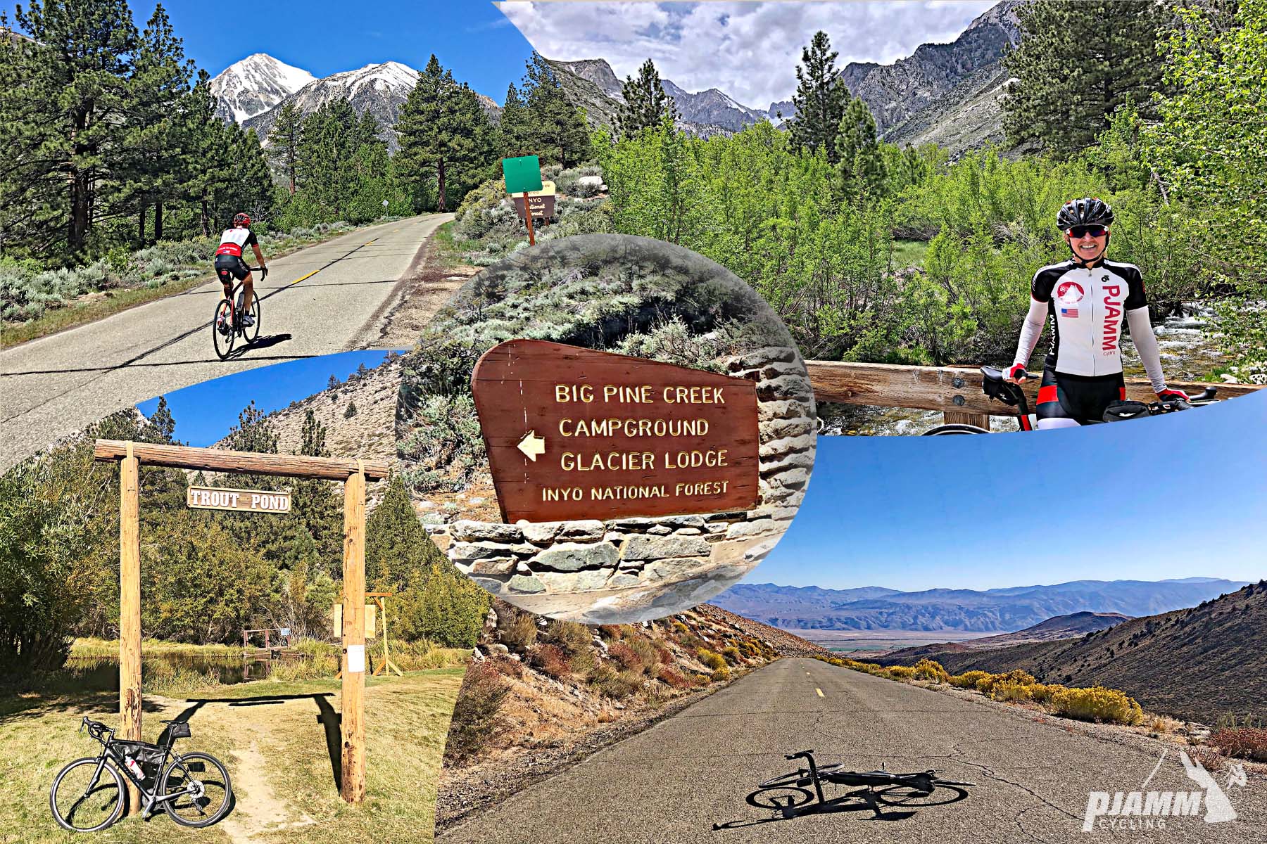
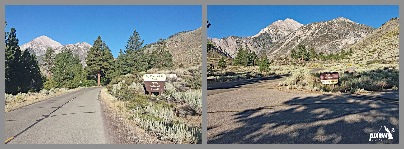
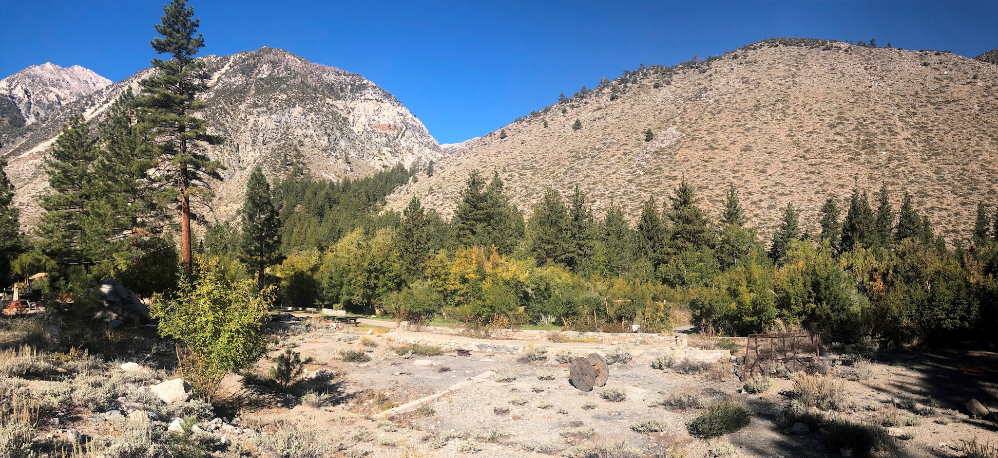
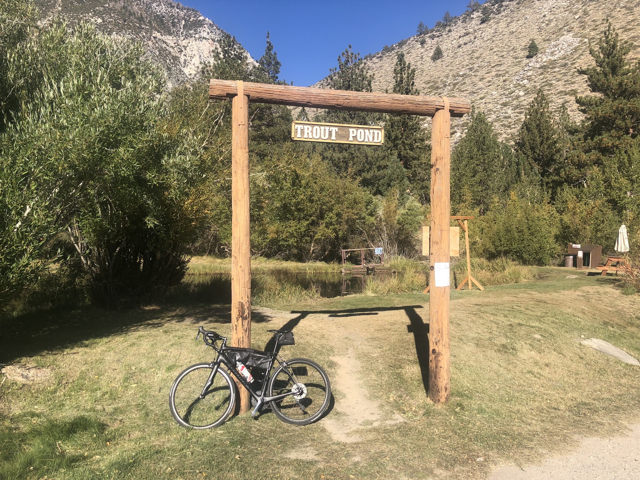
Parking: There is parking along the road near the start of the climb - Map. At the top, the trailhead parking is day-use only, with pit toilets and bear boxes; Big Pine Creek Campground (7,700 ft, 30 sites) is just past Glacier Lodge.
Note: Check weather conditions with the Inyo National Forest Service for each climb you intend to do and the Inyo County road conditions website before traveling to Owens Valley to cycle anytime after September or before June.
Provisions: None on the climb, and Big Pine Creek Campground at the top is a dry campground with no water. Stock up in Big Pine before you start and carry enough for the full 9.9 miles.
Gear: You finish at 7,783 feet, well above the Owens Valley floor, so bring a layer for the descent. A low gear helps on the steady 10% sections.
Before heading out on any cycling adventure check out our Things to Bring on a Cycling Trip and use our interactive check list to ensure you don't forget anything.
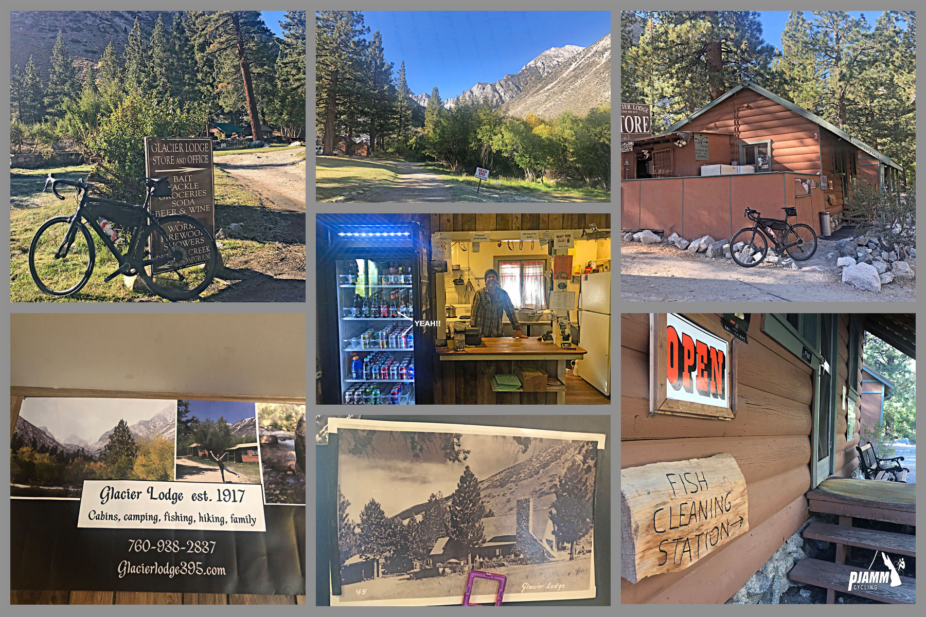
We normally stay in Bishop (about 15 miles north of Big Pine) or Lone Pine for our Owens Valley climbs. If you want a high-altitude night, the Glacier Lodge property at the finish (established in 1917 and rebuilt after fires and an avalanche-triggered explosion) now operates mainly as a campground, and Big Pine Creek runs right beside it. There are also many vacation home rental options in the area.
Big Pine is the base for several Owens Valley climbs; use our Routes in the Area tool to see the others nearby and combine them into a multi-day trip.
ROUTE MAP
MEMBER RATING
CURRENT WEATHER
PJAMM TRIPS ADVENTURE STARTER BUNDLES
Check out PJAMM Adventure's prepackaged (self-guided) cycling trips. They will help you plan, document and conquer your next adventure.
NEARBY CLIMBS (0) RADIAL PROXIMITY
FROM No Climbs Found
MEMBER REVIEWS & COMMENTS
Let us know what you thought of this climb. Signup for our FREE membership to write a review or post a comment.
Already have an account?
LOG IN HERE
Skotscott
July 20, 2024
A stout spin on a terrible road. Wide and deep cracks across the road, every 15 ft, almost the entire way. Some short sections with minimal cracks. Full sun exposure, gusty winds, climbing the whole way - a wonderful climb ! But a jarring, slow, lots of breaking descent. I'm on a stiff, carbon, climbing bike with 28x700 tires so rough pavement and cracks rattle my bones. Would be a fun descent on a full suspension MTB !
dfergusonpm
As others have stated, the middle section is a good challenge with steep grades. There are a lot of expansion cracks but the descent wasn't too bad overall. There was some gusting winds which created a bit of a challenge on the descent but not too bad. Nice challenging ride.
DBlondfield
Big steeps in the middle. I think it was more than 2 miles at 10%
whitoriginals
This road is a pain in the a**, with no switchbacks. Like riding a swift for two hours.
Chaddad
Nice hard climb to pair with White Mountain Road. Once it tips up it is very sleep for most of its length along the ridgeline. Pretty little valley at the end. Lots of expansion cracks, so a high-volume road tire is nice.
Psteffenson
If you can survive the middle of this ride it's not bad. The road has cracks across it the entire ride making it a sketchy descent.
carlinguernsey
Lesser known than some of the neighbors, but still tough. You can park near the start. There isn't much at the top - only camping and some toilets. Bring water and clothing - I got snowed on at the top in late May. The descent is fast (if your hands aren't frozen).