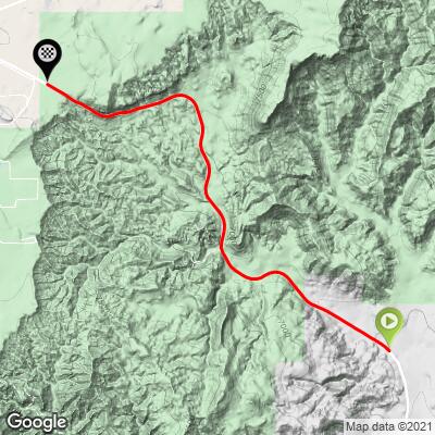
5.5
PDI
4.6 mi
DISTANCE
1,073 ft
GAINED
4.5 %
AVG. GRADE
FULL CLIMB STATS
INTRO
This 4.6 mile bike climb is located in UT, USA. The average gradient is 4.5% and there is a total elevation gain of 1,073 ft, finishing at 7,461 ft.
Use the profile tool, route map, and weather forecast to conquer this cycling climb.
Use the profile tool, route map, and weather forecast to conquer this cycling climb.
PLAN YOUR ROUTE
See more details and tools regarding this climb's grade via our interactive Profile Tool.
Information Not Available
If you have any information regarding this climb, we'd like to hear from you. Click the CONTRIBUTE button to share your thoughts with us.
Information Not Available
If you have any information regarding this climb, we'd like to hear from you. Click the CONTRIBUTE button to share your thoughts with us.
Before heading out on any cycling adventure check out our Things to Bring on a Cycling Trip and use our interactive check list to ensure you don't forget anything.
Information Not Available
If you have any information regarding this climb, we'd like to hear from you. Click the CONTRIBUTE button to share your thoughts with us.
ROUTE MAP
MEMBER RATING
CURRENT WEATHER
PJAMM TRIPS ADVENTURE STARTER BUNDLES
Check out PJAMM Adventure's prepackaged (self-guided) cycling trips. They will help you plan, document and conquer your next adventure.
NEARBY CLIMBS (0) RADIAL PROXIMITY
FROM No Climbs Found
MEMBER REVIEWS & COMMENTS
Let us know what you thought of this climb. Signup for our FREE membership to write a review or post a comment.
Already have an account?
LOG IN HERE
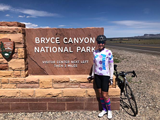
Skotscott
July 16, 2023
This is a nice, gradual climb up from Tropic with wonderful views. You can park in Tropic and have a 7 mile cool-down decent back to Tropic. There is a bike lane on the main part of the climb. The road is in excellent condition with a shoulder for the ride to and from Tropic. Traffic was moderate with courteous drivers. You can continue the climb into and along the scenic Bryce Canyon NP road to the end at Rainbow Point for a wonderful, scenic, 30 mile climb. Water and food available at the general store inside the park - about mile 12. The bike path from the start at the shuttle station to the end (4.5 miles) is in excellent condition with no cracks. Then you'll need to ride on the main road to the end at Rainbow Point. Then a nice, long, flowy decent back to Tropic or Ruby's area with a few easy climbs.