97.6
PDI
31.9 mi
DISTANCE
11,963 ft
GAINED
6 %
AVG. GRADE
FULL CLIMB STATS
Page Contributor(s): Dan Magaw, Auburn, CA, USA; Greg Mahterly, Encinitas, CA, USA.
INTRO
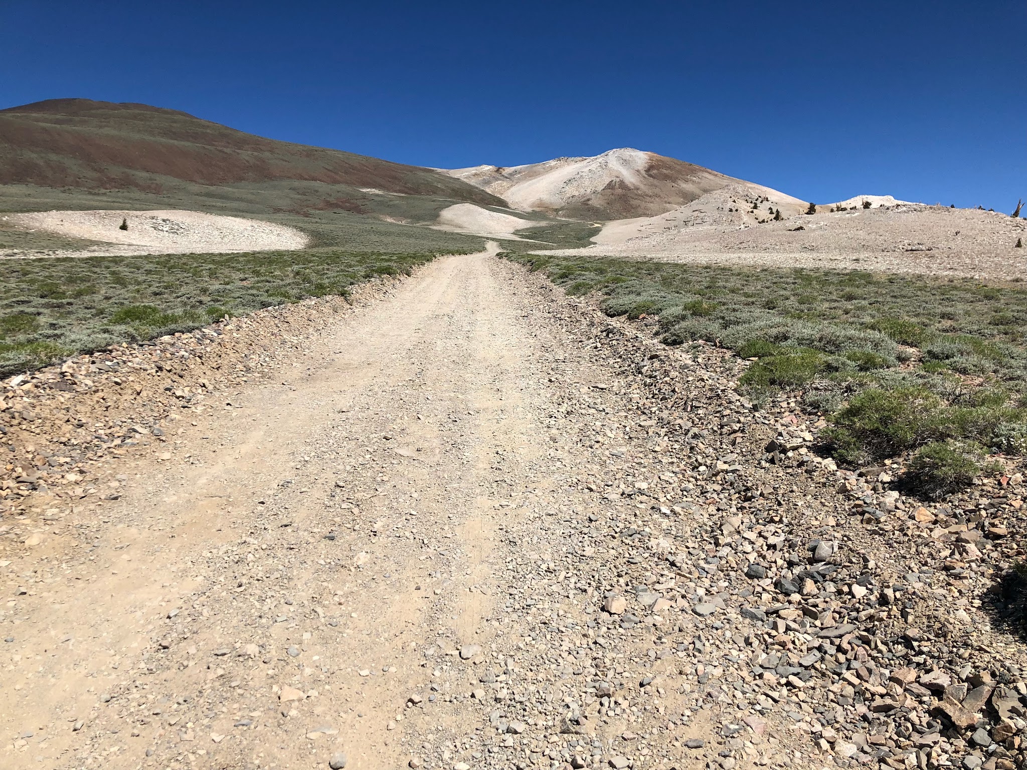
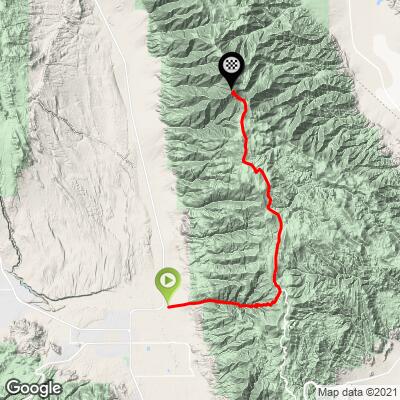
This is a VERY CHALLENGING mountain bike climb to the highest road in California. It runs 31.9 miles (51.3 km) from the Owens Valley floor near Bishop to the summit of White Mountain Peak, at 14,244 ft (4,342 m) on our profile, gaining 11,963 ft (3,646 m) at a 6.0% average. That average hides the real story: the first 10.9 miles go straight up Silver Canyon on a steep, rocky dirt road, gaining over 6,000 ft at about 11%, before the route joins White Mountain Road high on the crest for the long, rolling ride north to the peak.
Greg Matherly, who has ridden it four times, put it best: "It's funny, I can't really explain why Silver Canyon is so hard. The numbers aren't that crazy, but the combination of pitch, altitude, exposure, struggle for traction, the need to 'power' over rocks/ruts... and maybe just the reality of knowing how much further you have to go? It punches you in the mouth!"
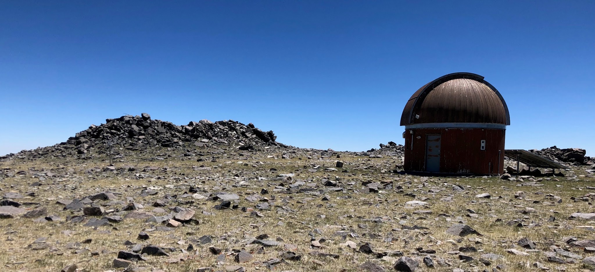
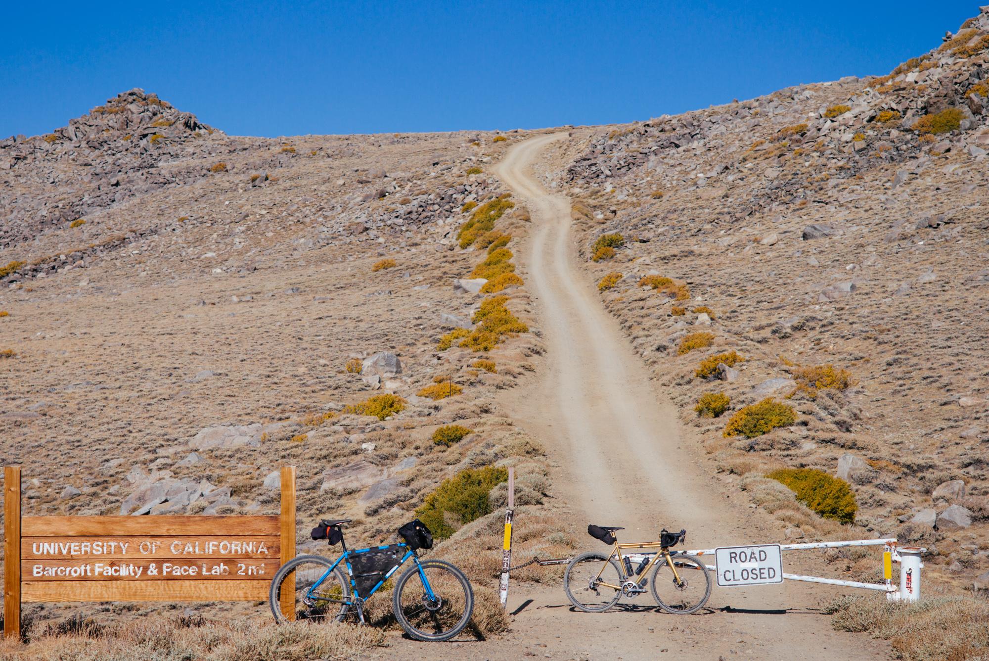
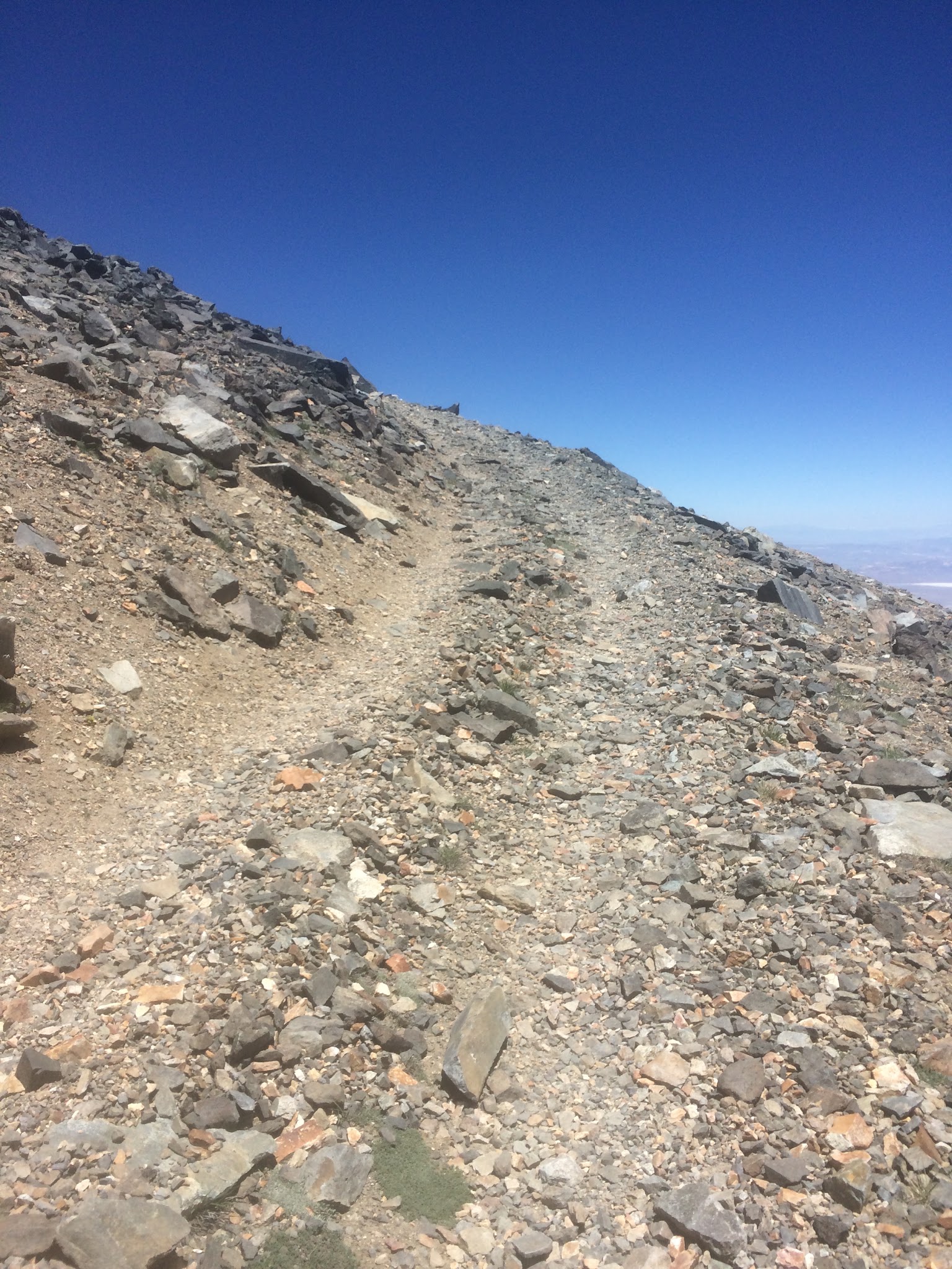
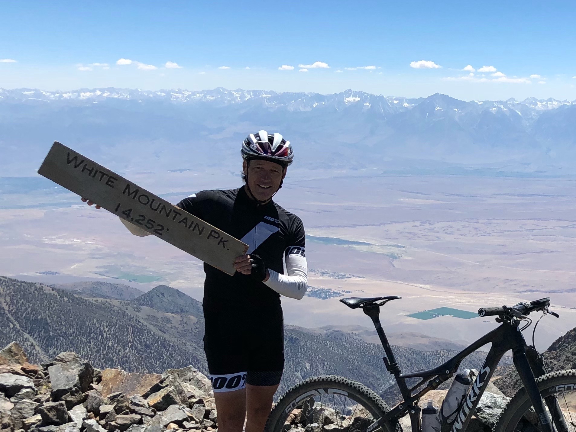
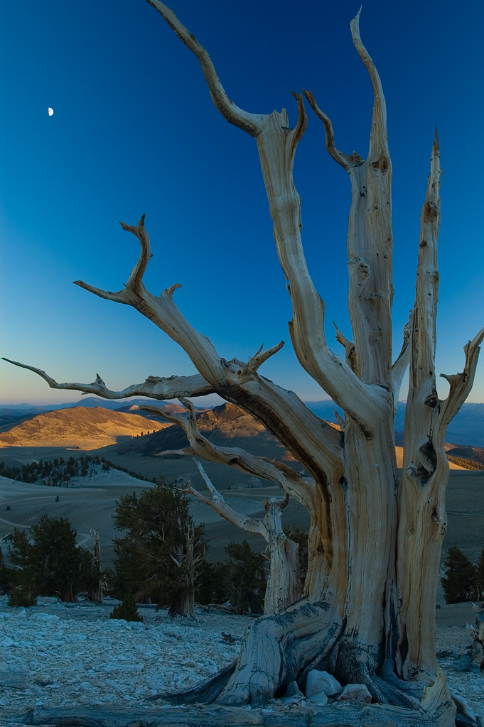
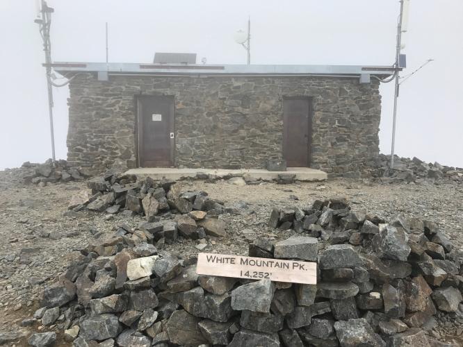
Above the canyon, White Mountain Road rolls north past the turnoff to the Patriarch Grove of ancient bristlecone pines to the locked gate below Barcroft Station at around mile 24. The last stretch above the gate is a closed research road that gets steadily rougher and finishes on loose talus that is nearly impossible to ride over the final mile or so. It is fully unsupported from bottom to top - and absolutely worth it.
PLAN YOUR ROUTE
 We've partnered with Sherpa-Map.com to bring you the best route planning tool. With a PRO Membership you can use this climb as a reference when creating your route.
White Mountain Peak from Bishop averages 6.0% over 31.9 miles (51.3 km), gaining 11,963 ft (3,646 m) from 4,125 ft (1,257 m) to 14,244 ft (4,342 m), with 1,845 ft (562 m) of descent along the rolling crest.
Silver Canyon is the crux. After an easier first two miles (3.0% and 5.8%), the grade builds through miles 3 to 6 (6.7% to 9.3%), then miles 7 through 10 average 13.7%, 18.8%, 16.8% and 16.7% on loose dirt. The steepest quarter mile reaches 21.4%, the steepest mile averages 19.1%, the steepest 2.5 miles 17.5% and the steepest 5 miles 16.1%.
Once on White Mountain Road, around mile 11, the route rolls - several near-flat miles and a couple of downhill ones - with a harder pitch around mile 20 (11.9%) and a steep finish, as the final two miles to the summit average 11.4% and 12.6%.
Roadway: Dirt the whole way. Silver Canyon Road is a very steep, rocky, rutted 4WD road that crosses Silver Creek several times; Inyo National Forest closes it in winter, and as of July 2026 the forest listed Southern California Edison road work in Silver and Wyman Canyons, so check current status before you go. White Mountain Road north of Schulman Grove is graded dirt with washboard and rocky sections up to the locked Barcroft gate, at about 11,700 ft. Above the gate the road gets steadily rougher and finishes on loose, blocky talus where you will be walking in places. The high road is usually clear of snow from late June into autumn.
Traffic: Very light. Silver Canyon sees only the occasional high-clearance 4WD or OHV - the White Mountain Research Center itself tells drivers not to use it - and White Mountain Road carries a modest number of visitors heading for the bristlecone groves. Above the Barcroft gate, the road is closed to public vehicles.
Parking: The climb starts right beside the Laws Railroad Museum on Silver Canyon Road, just off Highway 6. Bishop is only 3.5 miles away, so the simplest plan is to start from town and ride Highway 6 north to the base.
Gear: This is a mountain bike climb from the first mile. Silver Canyon's ruts, rocks and creek crossings are hard going even on a mountain bike, and the talus above the Barcroft gate is walking terrain in places. Run low gearing and tubeless tires and carry a full repair kit - you are a long way from help if something breaks.
Provisions: This is a fully self-supported ride. There is no potable water in Silver Canyon or along White Mountain Road and no services once you leave Bishop, so carry far more water and food than you think you need. With a finish above 14,000 ft, acclimatize if you can, bring warm layers for the exposed crest, and avoid cold, windy or thunderstorm days. The White Mountain Public Lands Information Center at 798 N Main St in Bishop has maps and current road information.
Before heading out on any cycling adventure check out our Things to Bring on a Cycling Trip and use our interactive check list to ensure you don't forget anything.
We would suggest staying in Bishop at the Wayfinder Bishop (formerly the Creekside Inn). Don't miss out on pastries at Schat's next door.
The start sits right beside the Laws Railroad Museum, a preserved railroad depot and historic village worth a visit on a recovery day. For the longer, road-bike-friendly way up the same mountain - Highway 168 and paved White Mountain Road to Schulman Grove, the Methuselah Trail and Patriarch Grove - see our White Mountain Peak (Big Pine) page.
Owens Valley has the greatest concentration of HC climbs in the US. To see the other big climbs around Bishop, or build a custom route from here, try our Routes in the Area tool.
ROUTE MAP
MEMBER RATING
CURRENT WEATHER
PJAMM TRIPS ADVENTURE STARTER BUNDLES
Check out PJAMM Adventure's prepackaged (self-guided) cycling trips. They will help you plan, document and conquer your next adventure.
NEARBY CLIMBS (0) RADIAL PROXIMITY
FROM No Climbs Found
MEMBER REVIEWS & COMMENTS
Let us know what you thought of this climb. Signup for our FREE membership to write a review or post a comment.
Already have an account?
LOG IN HERE
GregSeader
This is an amazing climb on a Full suspension MTB. on Silver Canyon there were 10 stream crossings in the first 5 miles. Sometimes over a foot deep in places. So plan on getting your feet wet. The grade keeps increasing as you approach the first switchback. Then it's game on as you climb 3,600 feet in just 4 miles at average 16.7% grade and ramps to 28%. At 10,480 feet you reach White Mountain Road with stunning views in all directions. The descent is my all time favorite on a MTB. Long steep very fast and challenging with breaktaking views all the way down.
whitoriginals
Rode this on October 11, 2022 from start to the ridgeline on a Salsa Cutthroat with a 46T gear. It was not enough. This is NOT a gravel ride. This is an MTB ride with stream crossings, pyramidal shale rock that will slice your tires, etc. etc. If you carry water filtration/tablet/UV purifier you can carry 1 bottle then load up where the road departs from the stream, about a mile after the "DIFFICULT" 4x4 warning sign. That is also where this climb goes into hyper-steep, >15% IMHO.