32.5
PDI
15.9 mi
DISTANCE
5,333 ft
GAINED
6.2 %
AVG. GRADE
FULL CLIMB STATS
Page Contributor(s): Ties Arts, Netherlands; Ard Oostra, Switzerland.
INTRO
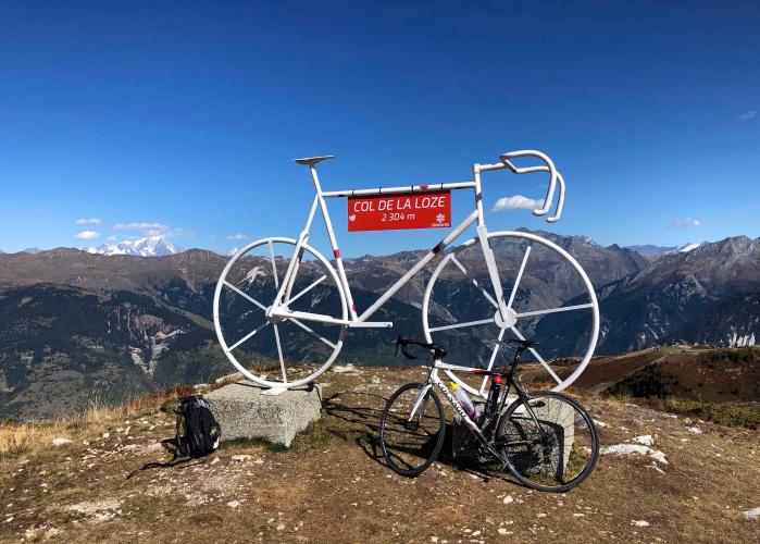
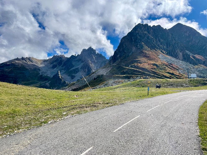
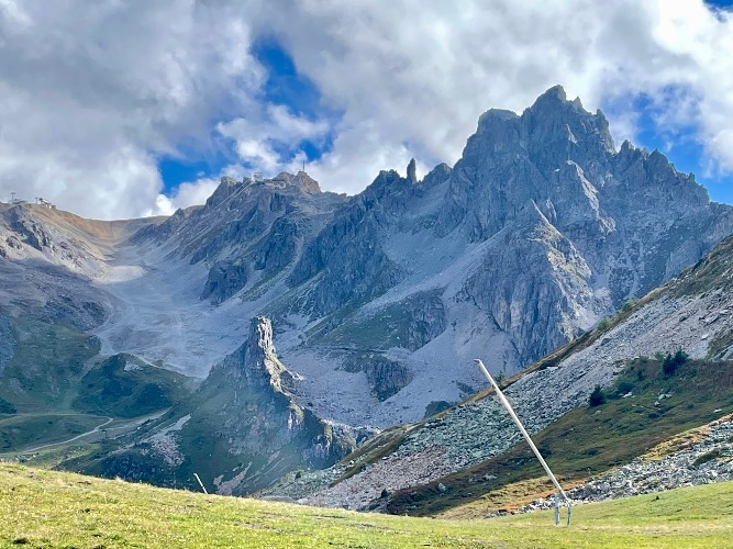
Rising in the heart of the French Alps, Col de la Loze is a cycling marvel, renowned for its dedicated bike-only roadway and breathtaking alpine scenery. The final six kilometers are reserved for cyclists and walkers, offering a peaceful, car-free ascent to 2,304 meters. Ranked among France’s toughest climbs, this route challenges riders with steep gradients and ever-changing pitches.
Since its Tour de France debut in 2020, Col de la Loze has quickly become a modern classic. It has featured in the Tour three times: 2020, 2023, and now 2025. Of these, two have been true mountaintop finishes—2020 and 2025—while 2023 saw the summit crossed before a descent to Courchevel. Each appearance has produced dramatic battles among the world’s best climbers.
In 2025, Col de la Loze is the finish of Stage 18 on Thursday, July 24. This queen stage covers 171.5 km and over 5,500 meters of climbing, making it the highest and one of the most decisive finishes of this year’s Tour.
PLAN YOUR ROUTE
This climb has a 6.2% average grade. 73% of the climb is at 5-10% and 5.5% at 10-15%. The steepest 500 meters is 11.9% and steepest kilometer 10.3%.
Use the “Routes in Area” button on the menu bar to see other bike climbs in this area.
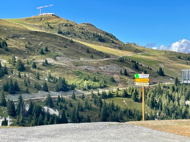
Roadway: This is a two-way road until the bike path-only section. The last six kilometers are on a paved bike path. Our friend Ard Oostra from Switzerland writes of the last 6 km of the road, "from Courchevel its all the way paved up to the summit. The last 6 kms to the summit is newly asphalted road which is only accessible for non motorized vehicles (apart from authorized vehicles). This section (as well as the ascension on the bride les bains side is put in place with as main reason: promoting cycling tourism."
Traffic: Mild to moderate for the first 19 kilometers to the bike path.
Parking: Very limited. There is a parking lot 300 meters up the road from the beginning of this climb - Map; Street View.
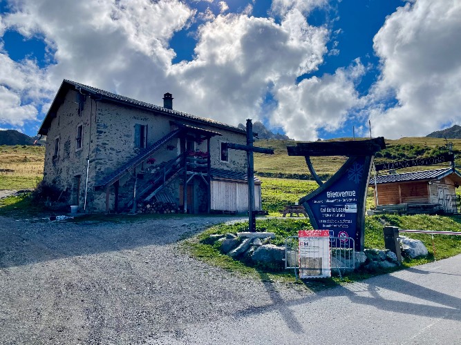
Provisions: There are several cafés along the route.
Before heading out on any cycling adventure check out our Things to Bring on a Cycling Trip and use our interactive check list to ensure you don't forget anything.
Information Not Available
If you have any information regarding this climb, we'd like to hear from you. Click the CONTRIBUTE button to share your thoughts with us.
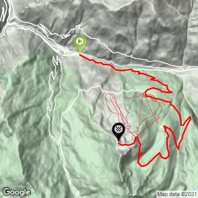
ROUTE MAP
MEMBER RATING
CURRENT WEATHER
PJAMM TRIPS ADVENTURE STARTER BUNDLES
Check out PJAMM Adventure's prepackaged (self-guided) cycling trips. They will help you plan, document and conquer your next adventure.
NEARBY CLIMBS (0) RADIAL PROXIMITY
FROM No Climbs Found
MEMBER REVIEWS & COMMENTS
Let us know what you thought of this climb. Signup for our FREE membership to write a review or post a comment.
Already have an account?
LOG IN HERE
zesoloist
Tuesday afternoon. Relatively high amount of traffic considering the road and where it goes (so I thought). one out of four vehicles were construction trucks/dump trucks. Lots of places for food/drinks. Construction in many of the Courchevel villages (one short detour) and in Courchevel proper. Several work vehicles on the bike path so dont assume there wont be vehicles. Went down the Meribel side. Several spot with gravel/dirt. Stay aware
golmstead

We rode this on the same day that there was a motorcycle expo in Courchevel so there we were constantly passed by groups of bikers who set up their motorcycles to be as loud as possible. I couldn't say what the traffic is under normal conditions. We also started in Brides-les-Bains, to it was a 17 mile climb. In any case, after Courchevel it is one of the most beautiful and challenging climb I can remember. And the vista at the top has very few peers. The ride up is challenging because the pitch is very inconsistent. It's flat for a bit, then 15% for a short bit, then back to 6%, then back to 15%. The most strenuous ride I did that week (as measured by my Stress Score), but totally worth it.