42.9
PDI
22.7 mi
DISTANCE
7,595 ft
GAINED
5 %
AVG. GRADE
FULL CLIMB STATS
Page Contributor(s): Ard Oostra, Montreux, Switzerland; Ritse Klink, Ruud vd Brink, Paul Cornelisse and Fred Feeke, Bussum the Netherlands.
INTRO
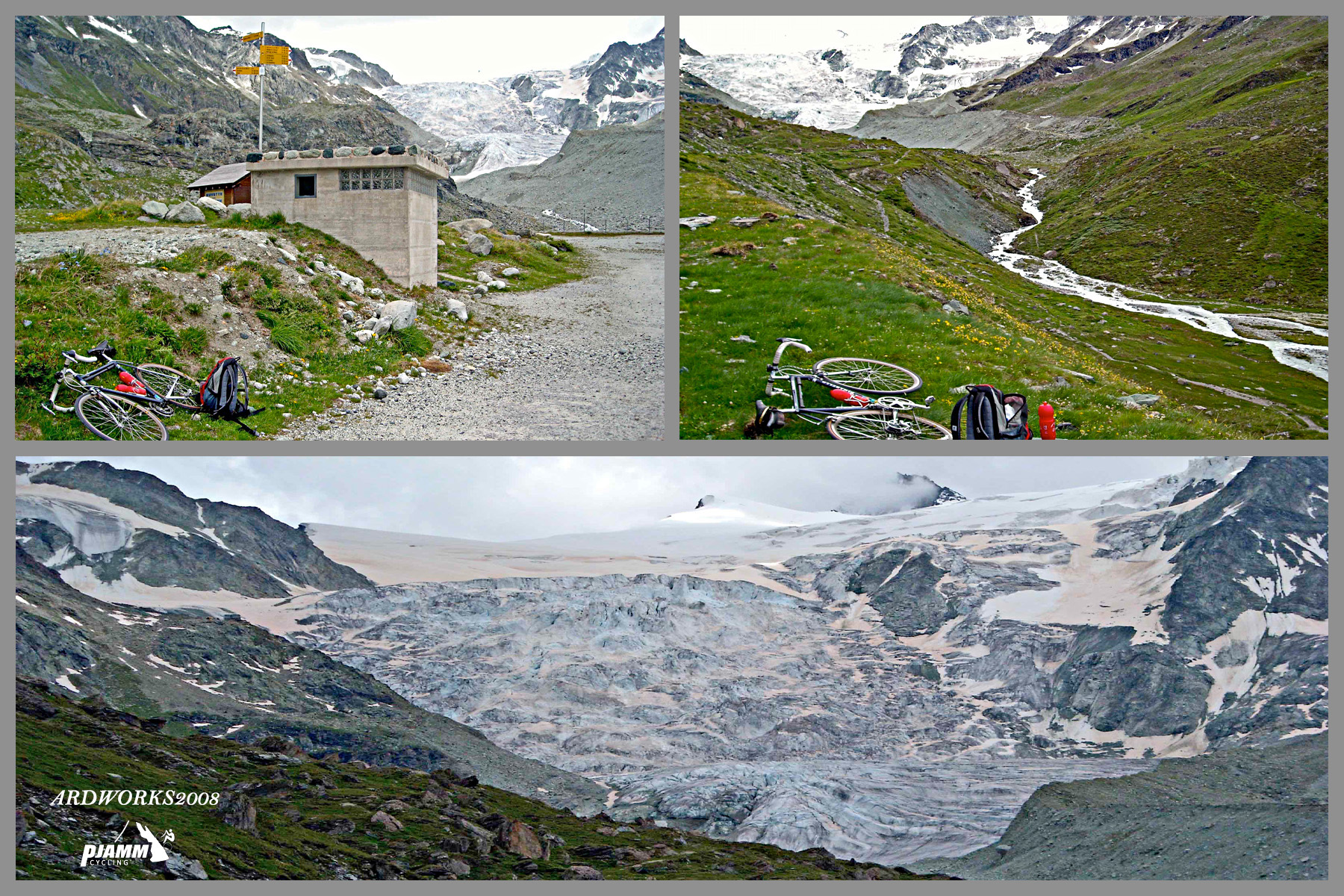
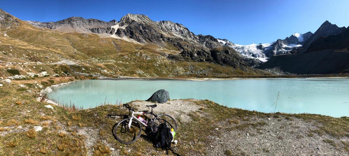
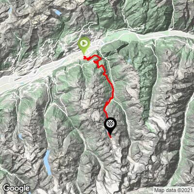
Glacier de Moiry is one of the toughest climbs in the Valais Alps - a 22.7-mile, 7,595-foot ascent averaging 5.01% that climbs from the floor of the Rhone Valley near Sierre up into the Val d'Anniviers to a turquoise glacial lake sitting below the Moiry Glacier at roughly 2,350 meters. It's currently ranked the #79 toughest bike climb in the world.
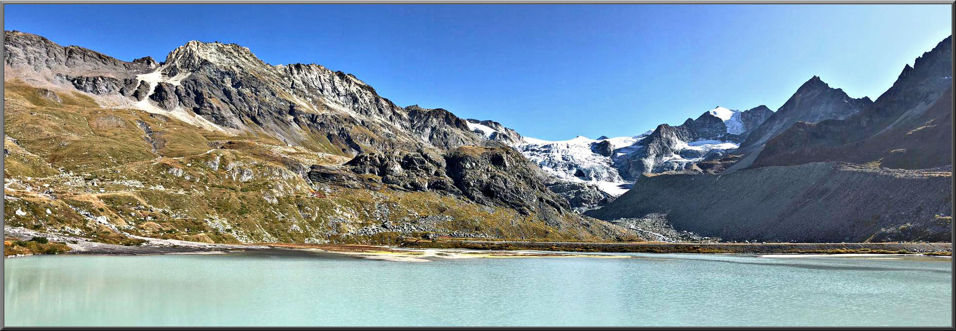
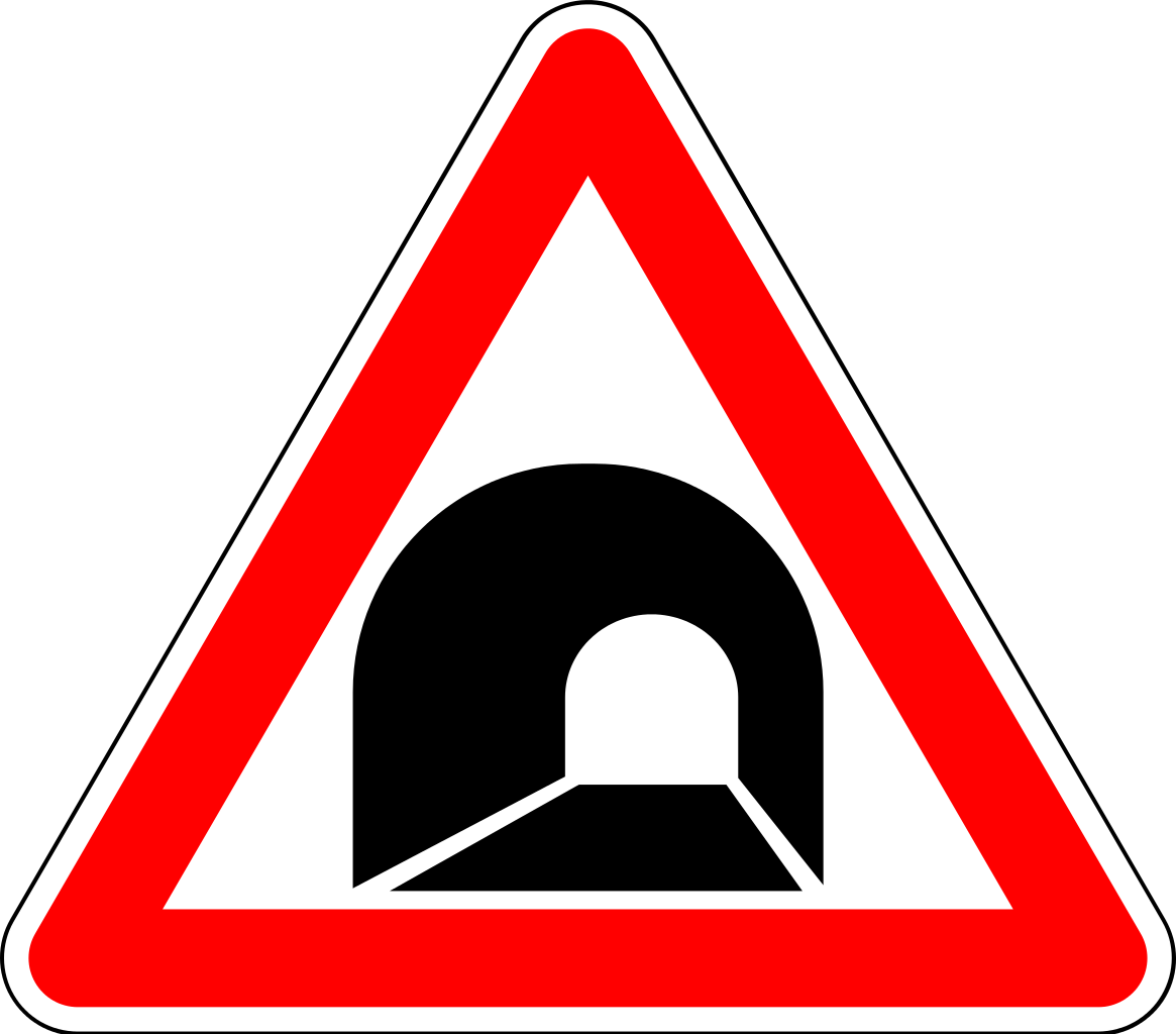
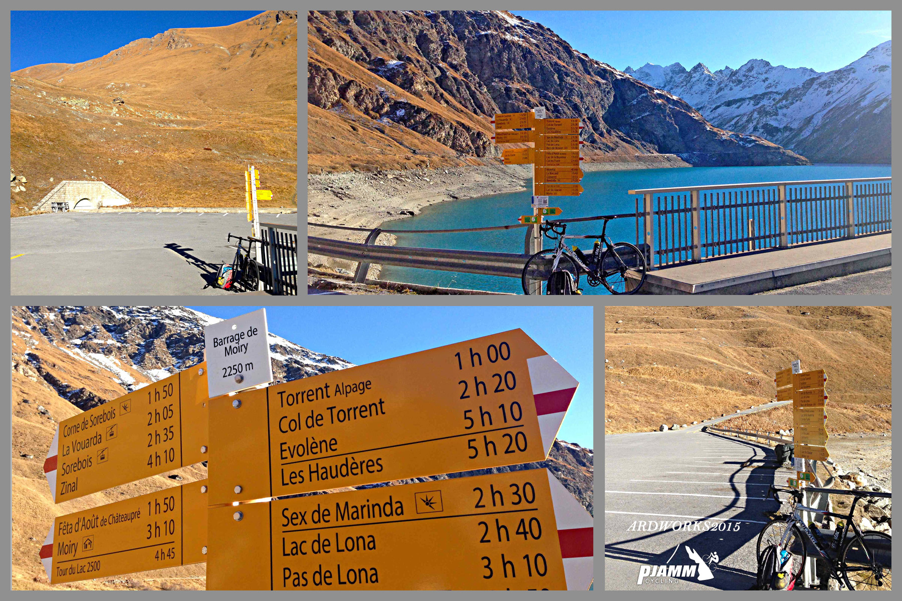
The route runs south from Rechy through Vissoye and into the resort village of Grimentz, then turns onto the Route de Moiry for a much harder final push to the dam - nearly 7 kilometers averaging 8-9% with pitches into the high teens, including a roughly 300-meter unlit tunnel about 2 kilometers from the top. Above the dam itself, the lake's glacial-blue water and the ice of the Moiry Glacier come into view - one of the more dramatic finishes among Valais's HC-category climbs.
The route runs south from Rechy through Vissoye and into the resort village of Grimentz, then turns onto the Route de Moiry for a much harder final push to the dam - nearly 7 kilometers averaging 8-9% with pitches into the high teens, including a roughly 300-meter unlit tunnel about 2 kilometers from the top. Above the dam itself, the lake's glacial-blue water and the ice of the Moiry Glacier come into view - one of the more dramatic finishes among Valais's HC-category climbs.
This is a genuinely high-mountain road - the upper section only opens for the summer season and can close on short notice for weather, so a modest overall average grade hides real difficulty in its closing kilometers and its exposure to alpine conditions. Preview the entire ascent pitch-by-pitch, including that brutal final stretch, with our Profile tool before you go.
PLAN YOUR ROUTE
 We've partnered with Sherpa-Map.com to bring you the best route planning tool. With a PRO Membership you can use this climb as a reference when creating your route.
 The overall average of 5.01% badly undersells this climb - it's heavily backloaded. The steepest quarter mile averages 20.73%, and the first full mile still averages 11.54%. From Grimentz to the dam - roughly the last 7 km - gradients rarely dip into single digits and average close to 8-9%, with sustained pitches near 15-19% and a 300-meter unlit tunnel about 2 km from the top.
The lower half, through Rechy, Vissoye and into Grimentz, is comparatively gentle, which is what pulls the whole-climb average down to just over 5%.
Roadway: The road is fully paved for the entire route and in good condition throughout, but narrows and steepens noticeably above Grimentz on the Route de Moiry - expect tighter switchbacks and rougher surface texture on the final approach to the dam. There's an unlit tunnel roughly 300 meters long about 2 km before the finish; bring a light or a reflective layer, since it's genuinely dark inside. The upper road is a summer-only route and can close on short notice for weather - it isn't maintained through the winter months.
Traffic: Traffic is light throughout - this is a quiet valley road serving Vissoye and Grimentz's small resident population plus visitors heading up to the lake and dam. Expect the most vehicles in the village centers and near the dam itself in peak summer, where day-trippers and hikers park to walk the lakeshore trail.
Parking: There's no dedicated cycling trailhead - most riders start from Sierre or lower in the Rhone Valley near Rechy or Chalais, where on-street parking is easy to find. At the top, there's a parking area at the Moiry dam for anyone driving up to meet a rider or extend the visit on foot.
Budget 2-2.5 hours for the full climb from the valley floor. Given the brutal final kilometers, a compact crank with a 34x28 or easier low gear is a real asset - the closing pitches above Grimentz are steep enough to punish anyone caught in too tall a gear.
Temperatures at 2,350 meters are dramatically cooler than the Rhone Valley floor even in summer, and the descent through the tunnel and switchbacks is cold - pack a wind jacket and gloves regardless of season. Grimentz has the last reliable shops and cafes before the dam; carry enough water for the final unsupported push.
Before heading out on any cycling adventure check out our Things to Bring on a Cycling Trip and use our interactive check list to ensure you don't forget anything.
Grimentz, a well-preserved traditional Valais village with dark-wood chalets, is worth a stop on the way up or down and makes a good overnight base if you want to tackle this climb fresh. The upper road and the lake are strictly a summer proposition - check conditions before planning a visit outside June through September, since snow can linger into early summer and return by autumn.
This climb pairs naturally with other Val d'Anniviers roads if you're building a multi-day Alps trip.
ROUTE MAP
MEMBER RATING
CURRENT WEATHER
PJAMM TRIPS ADVENTURE STARTER BUNDLES
Check out PJAMM Adventure's prepackaged (self-guided) cycling trips. They will help you plan, document and conquer your next adventure.
NEARBY CLIMBS (0) RADIAL PROXIMITY
FROM No Climbs Found
MEMBER REVIEWS & COMMENTS
Let us know what you thought of this climb. Signup for our FREE membership to write a review or post a comment.
Already have an account?
LOG IN HERE