![]()
Cycling Lion’s Trail -
The Lions Trail climb is a windy bike climb on Caliente-Bodfish Road (the road connects the small communities of Caliente and Bodfish) in the Tehachapi Mountains of the Pacific Coast Range. The climb twists and turns as it ascends steeply through foothills sprinkled with oak trees. This is a peaceful and pleasant road bike climb.
Climb report by PJAMM’s Dan Razum:
The climb begins at the intersection of Caliente Bodfish Road and Caliente Creek Road. The road follows a narrow valley at the beginning, with many trees and a lot of shade. There are also free range cattle in the area, so don't be surprised if you encounter some cows on the road.
![]()
Start of the climb - just 30 miles southeast of Bakersfield.
![]()
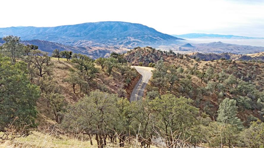
The road makes a hairpin turn and starts climbing out of the narrow valley after about two and a
half miles, leaving the trees and shade behind. As the road climbs, we start getting views
of Bear Mountain to the south. Parts of Highway 58 can also be seen in the distance.
![]()
Bear Mountain
A little over 5 miles brings us to a false flat. It almost looks like we've reached the top but
there is still some more to go. After about a half a mile of false flat the climbing becomes
noticeable again, although not as steep as before. When we do reach the summit, it is not well
defined, the gradient just decreases until we reach a broad flat area.
![]()
Finish
If we continue a little past the top, we come to a nice view of Walker Basin, as the road starts to descend.
The road is 2 lanes throughout, with no shoulder but without much traffic, so it feels safe. The pavement is in fair condition, not perfect but not bad. The road is twisty with short sightlines so we need to be cautious on the descent; we certainly don't want to come quickly around a bend and find a cow standing in the road.
![]()
Walker Basin.

 We've partnered with Sherpa-Map.com to bring you the best route planning tool. With a PRO Membership you can use this climb as a reference when creating your route.

