29.1
PDI
33.3 mi
DISTANCE
6,713 ft
GAINED
3.5 %
AVG. GRADE
FULL CLIMB STATS
Page Contributor(s): Dennis M, San Jose, CA, USA.
INTRO
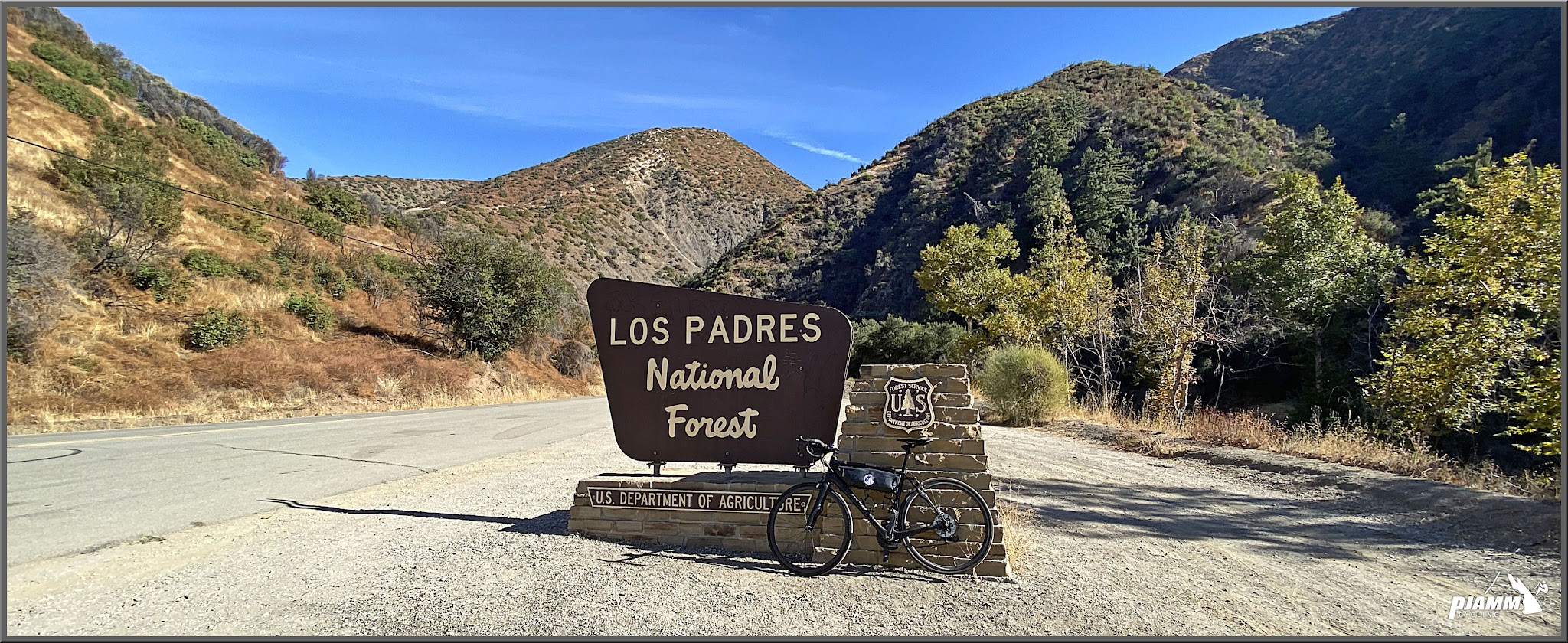
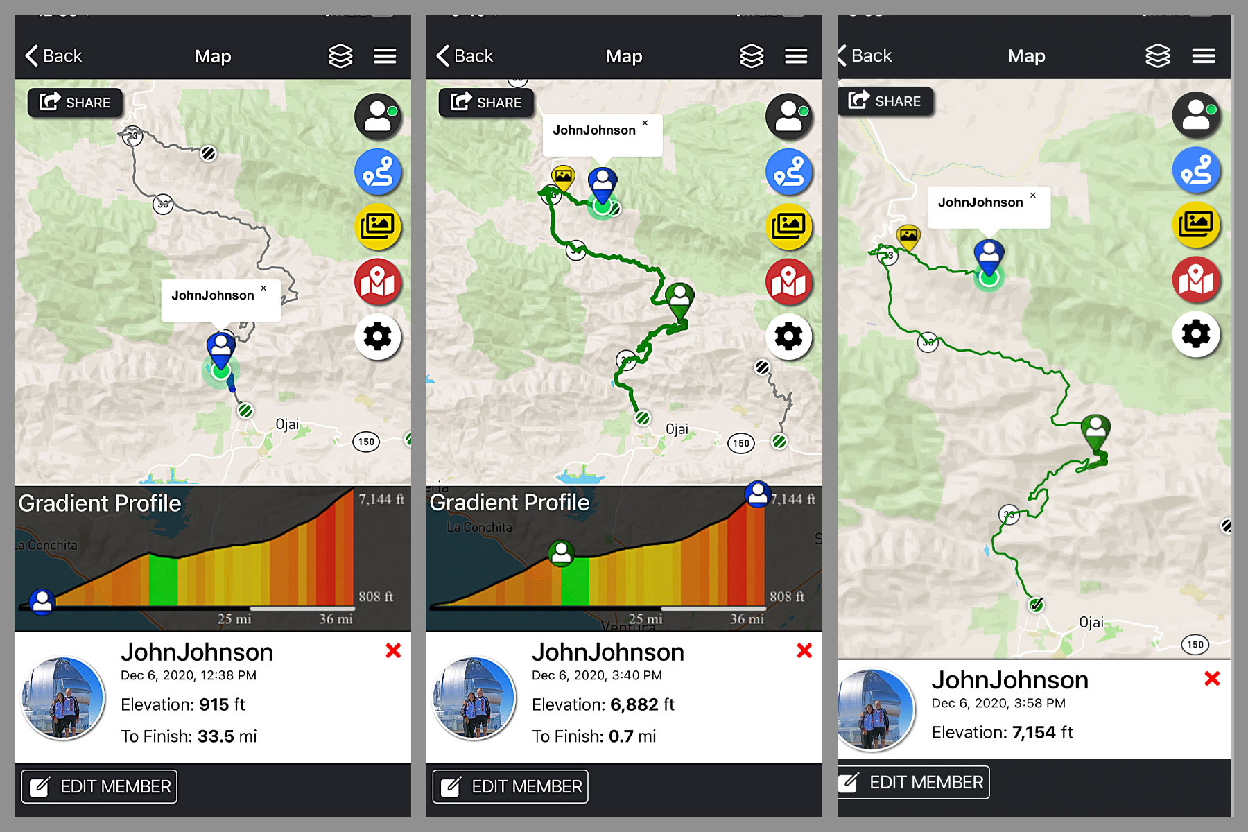
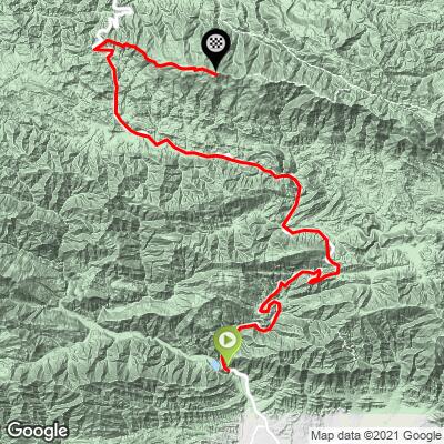
This is a great bike climb - long, ruggedly scenic, and remote over the last few miles. Hwy 33 to Pine Mountain Ridge covers 33.3 miles and 6,713 ft at a 3.5% average grade, from the northern edge of Ojai to 7,144 ft high on Pine Mountain Ridge near Reyes Peak, making it one of the longest road climbs in California. We enjoyed this climb, particularly as we climbed further away from the populated area of Ojai.
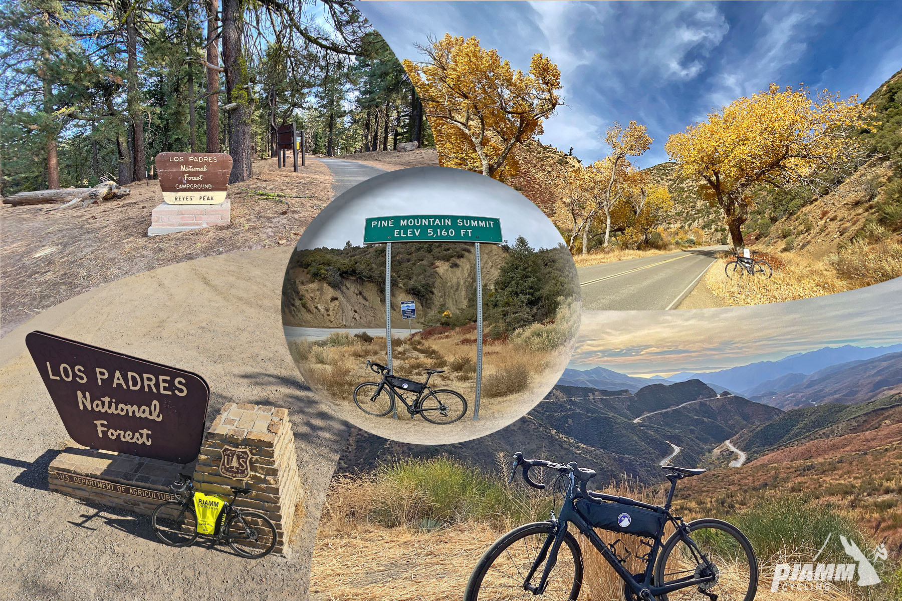
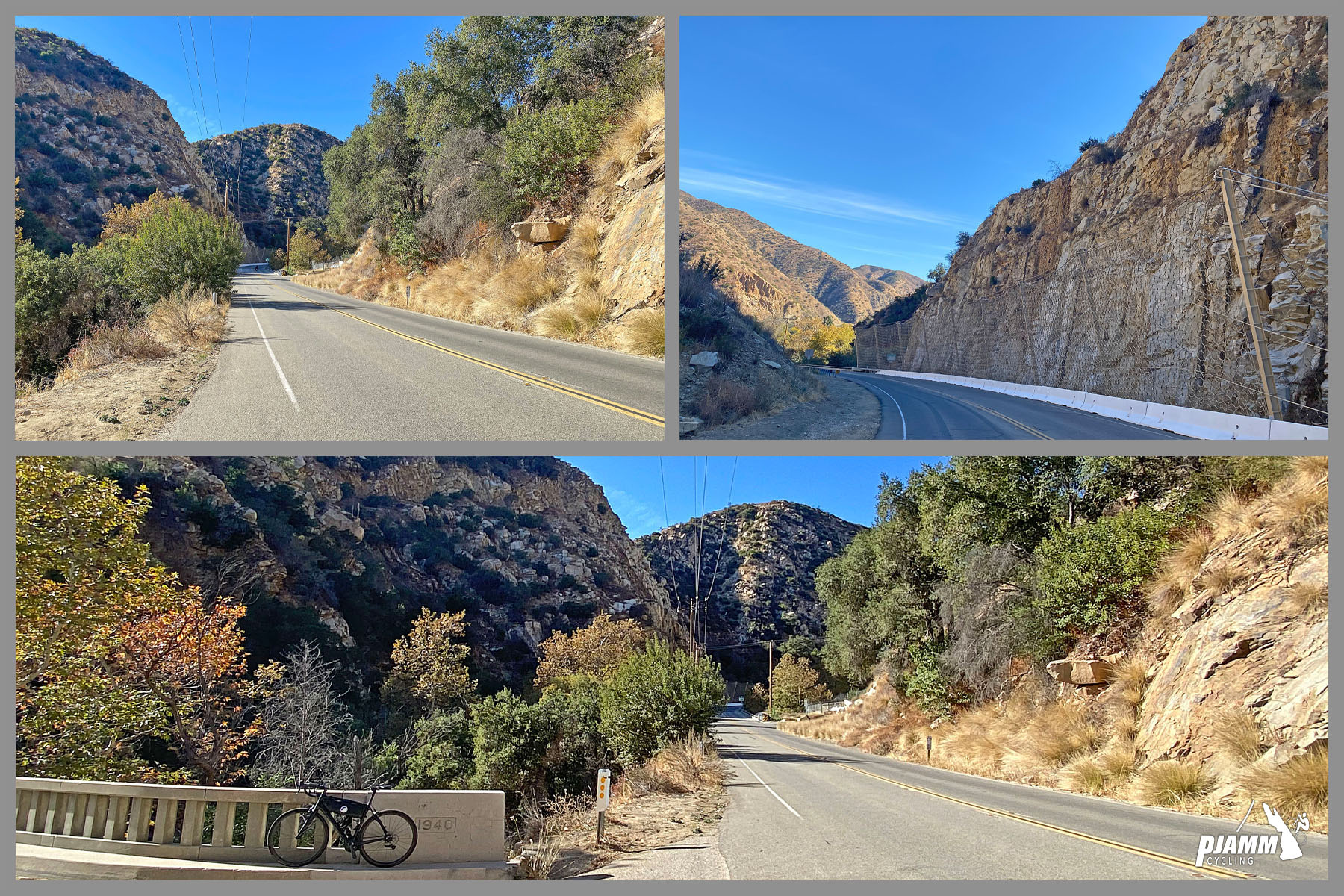
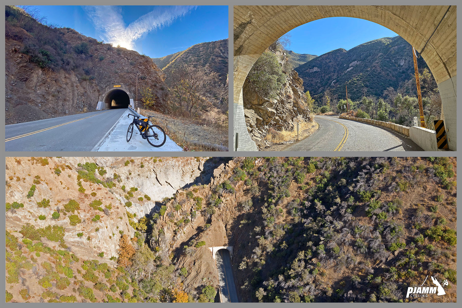
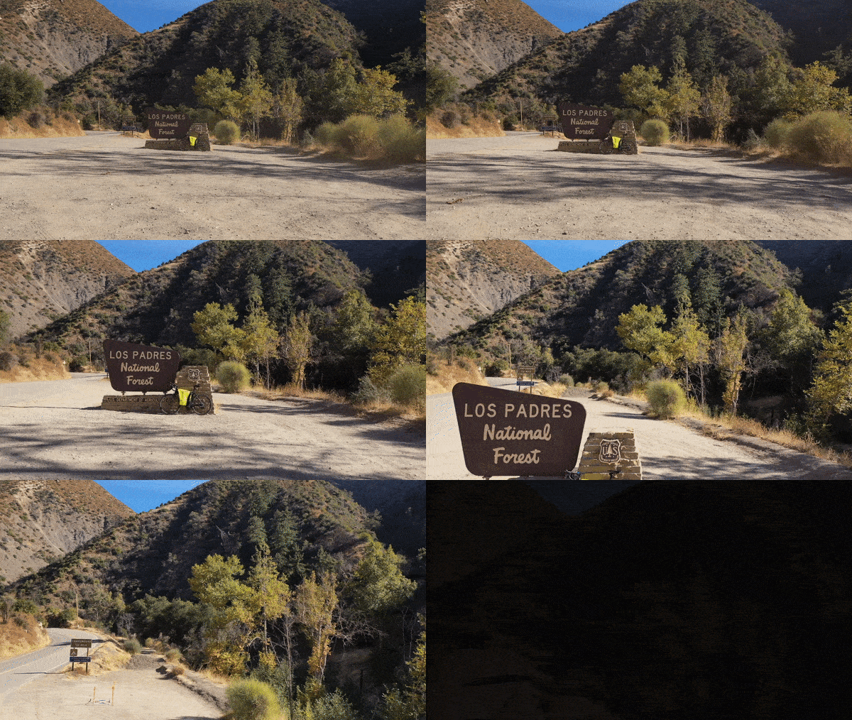
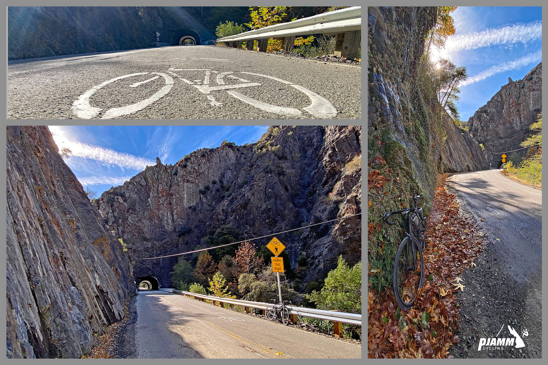
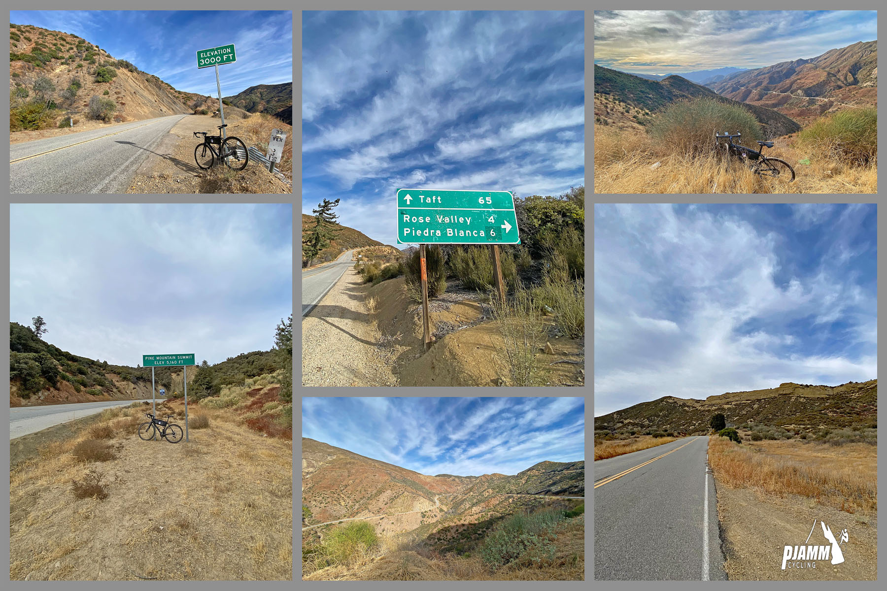
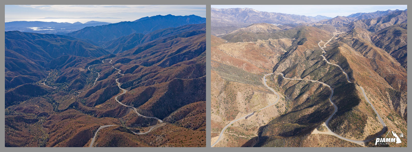
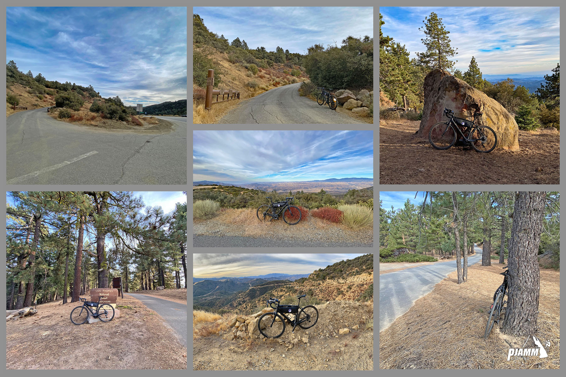
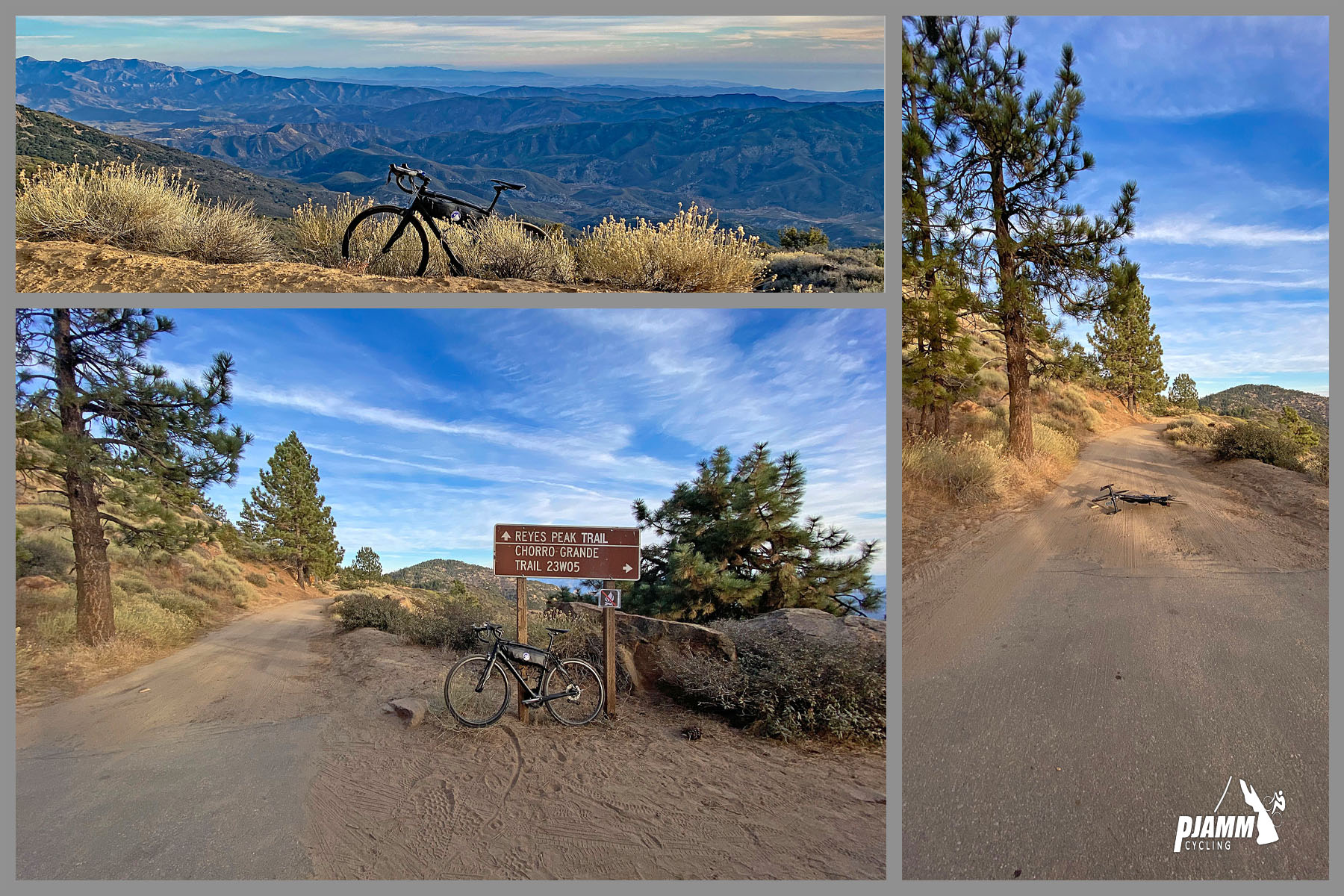
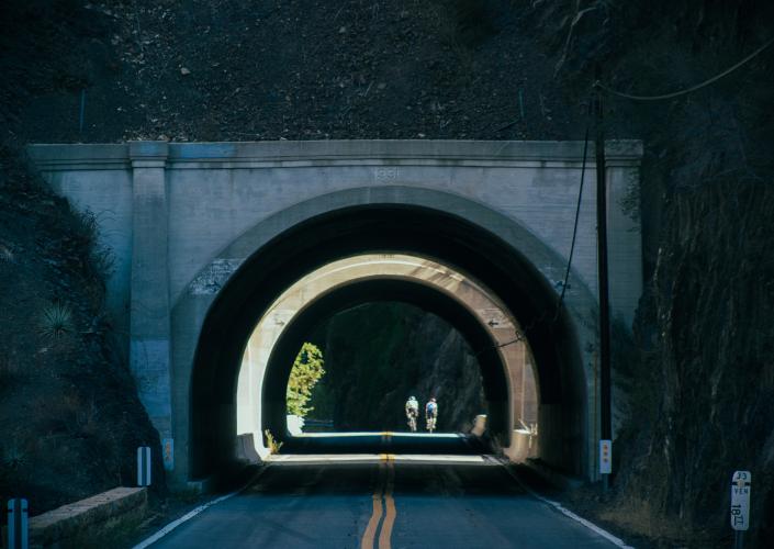
The first 27 miles follow Highway 33 (the Maricopa Highway) north through Los Padres National Forest - through two short tunnels and past Wheeler Gorge in the first four miles, then up a pair of giant hairpins around mile nine. After a long, nearly flat middle section along the upper Sespe Creek drainage, the highway climbs again to Pine Mountain Summit, where we turn onto the narrow, single-lane road along Pine Mountain Ridge for the final six miles. Up top the chaparral gives way to Jeffrey pine, white fir, and big-cone Douglas fir, with sweeping views over the Sespe backcountry.
Highway 33 was closed for most of 2023 after winter storms caused mudslides and roadway collapses north of Ojai. It reopened in December 2023, and Caltrans finished a $5.1 million repair of the tunnels near Wheeler Gorge with a series of weekend closures in August and September 2026. The ridge road is gated seasonally in winter, so this is a spring-through-fall ride.
PLAN YOUR ROUTE
 We've partnered with Sherpa-Map.com to bring you the best route planning tool. With a PRO Membership you can use this climb as a reference when creating your route.
 A climb in three acts. The first 11 miles average 4.5%, climbing steadily out of Ojai through the tunnels and hairpins. Then comes a long, rolling middle: roughly 13 miles (miles 11-24) that average barely 1%, with a few short descents. The climbing resumes around mile 24, and the grade averages 5.3% for the last three miles to Pine Mountain Summit.
The final six miles on Pine Mountain Ridge are the hardest of the day, averaging 6.5% and containing the steepest mile of the climb at 9.4% and the steepest quarter-mile at 11.5% (around miles 30-31). Overall, 52% of the climb is at 0-5% and 31% at 5-10%. Excluding the descents, the average grade rises to 4.4%.
Roadway: The first 27 miles are on two-lane Highway 33, in excellent condition after Caltrans rebuilt slopes, retaining walls, and guardrail following the 2023 storm damage - although there is rarely a shoulder wide enough to ride in. Short closures and one-way signal-controlled work zones still pop up occasionally, so check Caltrans QuickMap before you go. The final six miles along Pine Mountain Ridge are on a true single-lane paved road that was in excellent condition, albeit with some debris, on our ride. The ridge road is gated in winter and can hold snow into spring - check with the Los Padres National Forest Ojai Ranger District for gate status.
Traffic: Moderate for the first third of the climb, with cars at 45-55 mph - but we felt fairly safe throughout. Highway 33 is a popular motorcycle road on weekends, so expect more noise and faster traffic then. It becomes minimal as you climb, and we met only a handful of vehicles over the final six miles - but watch for two-way traffic on the single-lane ridge road.
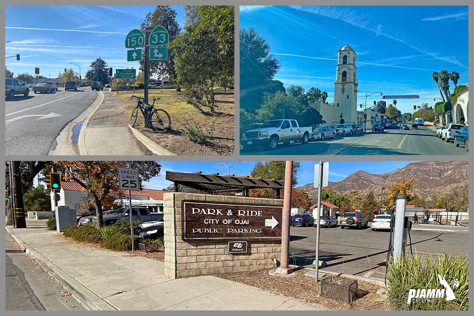
Parking: We parked in Ojai and rode to the start - it's an easy warm-up, and there's no dedicated lot where the climb begins. Street parking and public lots near downtown Ojai work well; be mindful of any time limits.
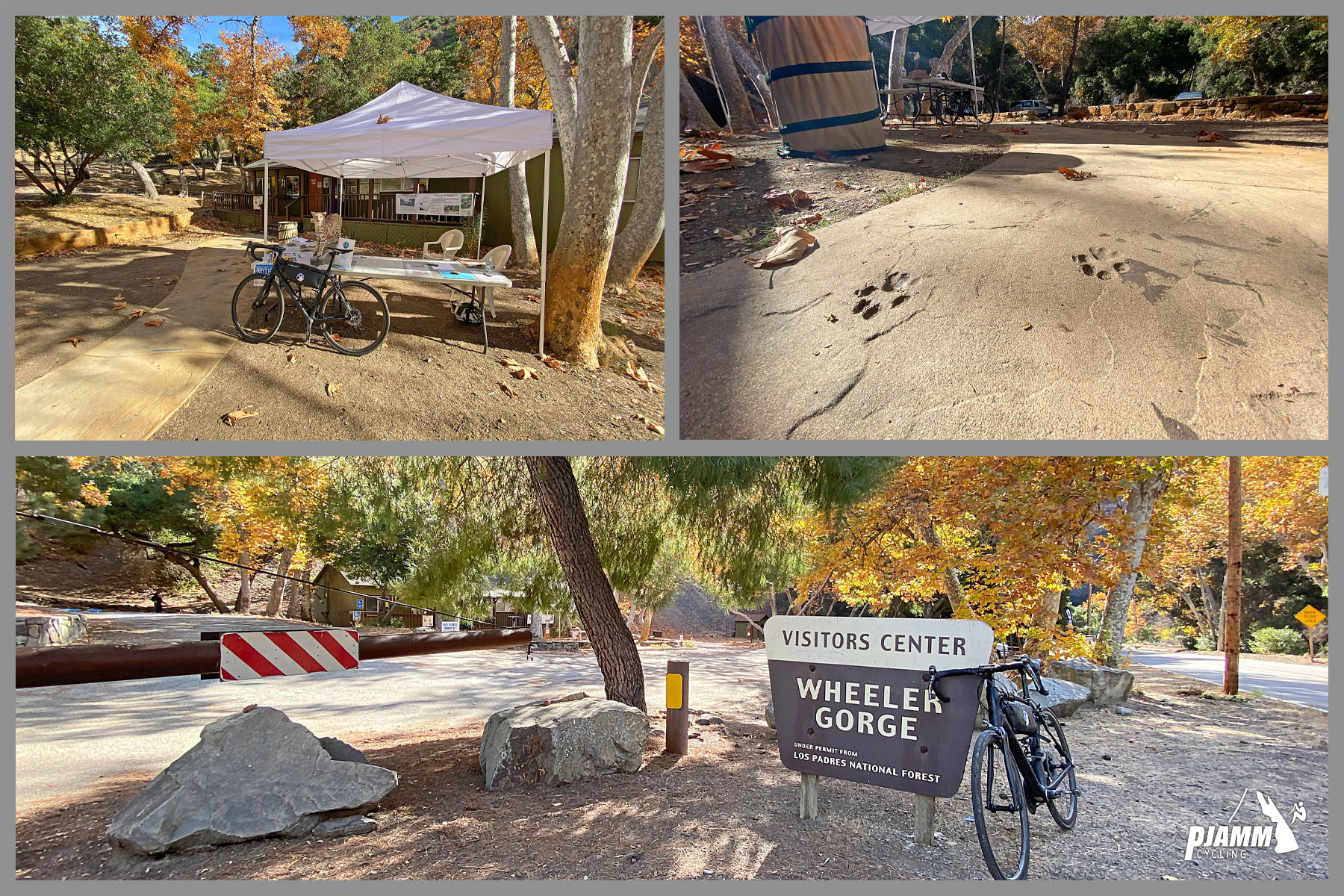
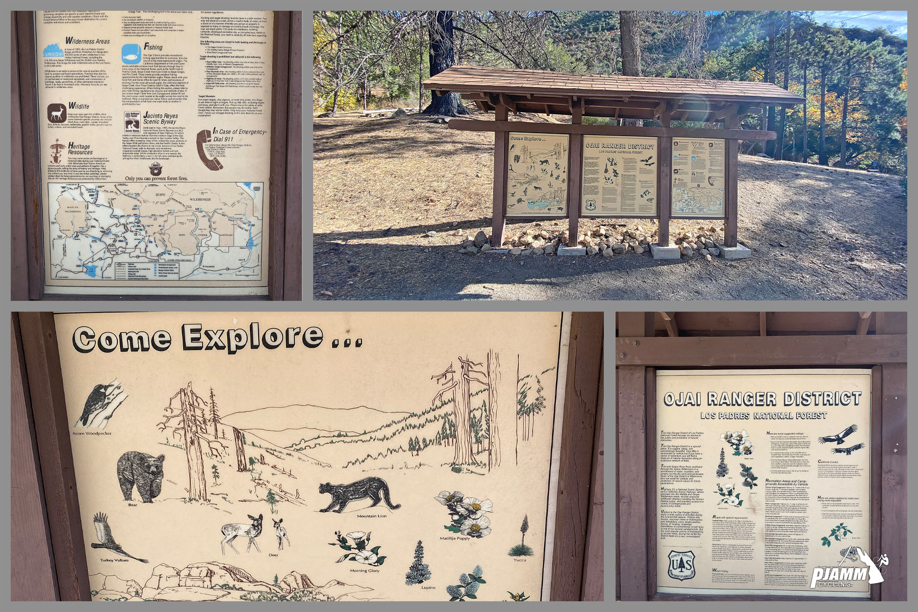
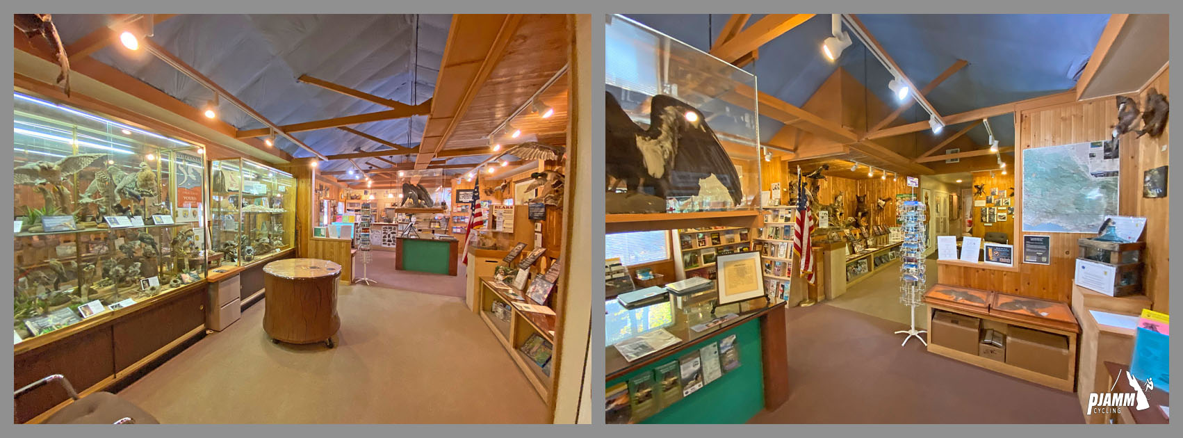
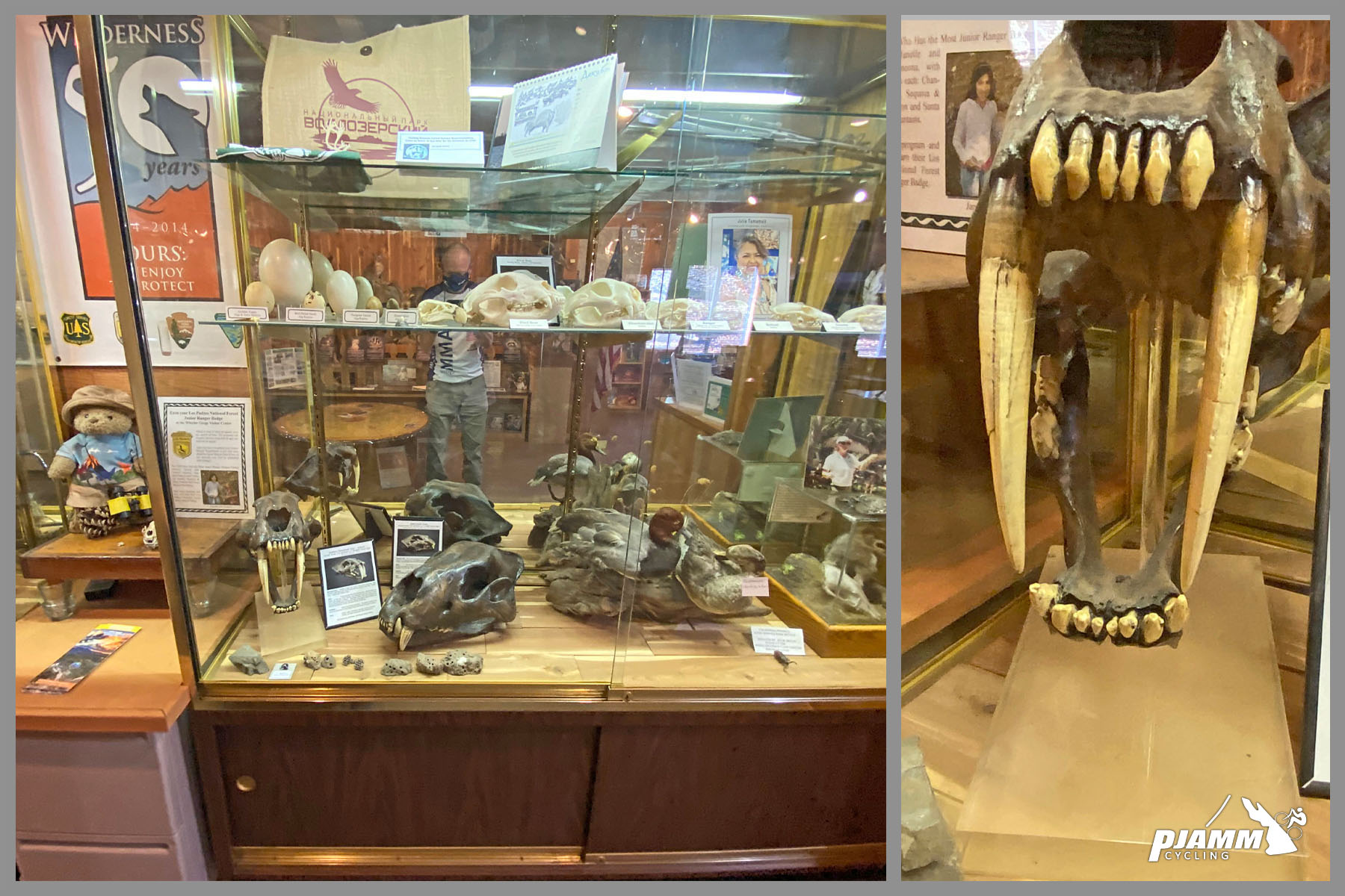
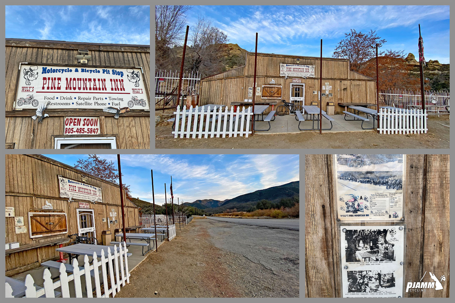
Provisions: Top off in Ojai - there's nothing reliable after that for 30+ miles. The Wheeler Gorge Visitor Center at mile 3.7 is open weekends only (9am-3pm) for maps and forest info, and the old Pine Mountain Inn on the upper highway has long been closed. Wheeler Creek and Sespe Creek have water if you carry a filter.
Weather: You start near 1,000 ft among Ojai's orchards and finish above 7,000 ft in the pines, so it can be hot at the bottom and cold, windy, or even snowy at the top. Check conditions at the finish with our Weather tool before you head out, and pack a layer for the long descent.
Before heading out on any cycling adventure check out our Things to Bring on a Cycling Trip and use our interactive check list to ensure you don't forget anything.
Ojai is a wonderful cycling base - relaxed, walkable, and surrounded by climbs. There are several boutique hotels and resorts in Ojai to choose from, and plenty of quaint cottages and cabins you can rent in the area too.
On a recovery day, the paved Ojai Valley Trail runs from Ojai down to Ventura - an easy spin through oak woodland toward the coast. If Highway 33 is closed for work, the detour from Ventura County to the north side is a long one (Highway 126 to I-5 to Highway 166), so check status before planning a point-to-point or north-side approach.
Use our Routes in the Area tool to see the other Highway 33 and Ojai climbs, or build a custom route from here.
ROUTE MAP
MEMBER RATING
CURRENT WEATHER
PJAMM TRIPS ADVENTURE STARTER BUNDLES
Check out PJAMM Adventure's prepackaged (self-guided) cycling trips. They will help you plan, document and conquer your next adventure.
NEARBY CLIMBS (0) RADIAL PROXIMITY
FROM No Climbs Found
MEMBER REVIEWS & COMMENTS
Let us know what you thought of this climb. Signup for our FREE membership to write a review or post a comment.
Already have an account?
LOG IN HERE
ryan-gorzek
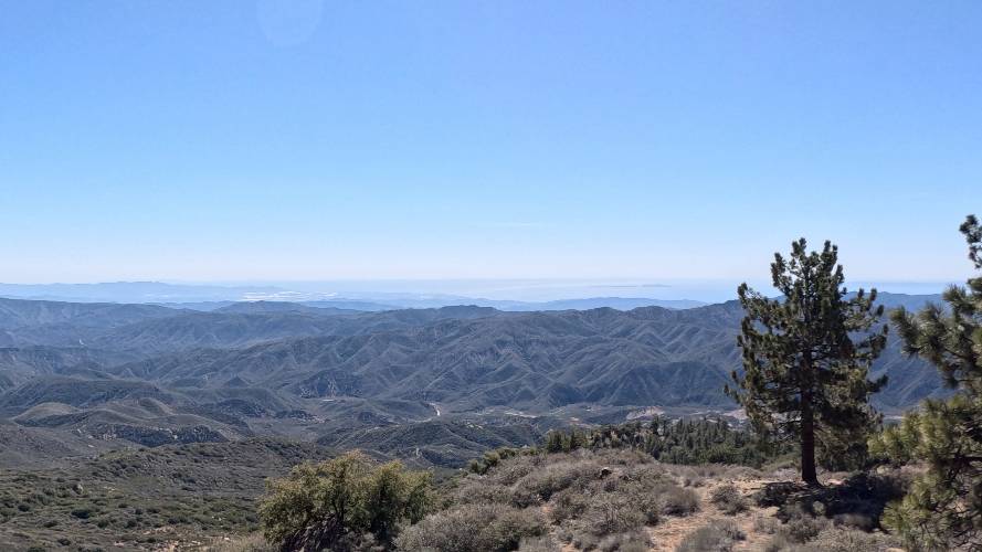
Rode on March 8, 2026. Very enjoyable route: bike path from Ventura to Ojai, then Hwy 33, which had some traffic but nearly all drivers were shockingly respectful and confident about passing. Reyes Peak Campground is closed in the winter, so the last (and steepest) part of the climb was full of rocks and sticks, but it was doable. Brought a 3L Camelbak (plus two bottles) to get from Ojai to the peak and back, which was perfect for an especially warm winter day.
whitworks
Rode it December 6, 2024, 72 degrees in Ojai, 60 degrees on Reyes Peak. The hardest part by far is the last three miles once you turn off 33. Don't take too much out of the ATM too early. This ride goes to Reyes Peak NOT Pine Mountain (Mount Pinos). There are a half dozen one-way construction/stoplights on 33. In the driest seasons, until miled 25 (approximately) there is water in Sespe Creek (the road follows it) if you have a filter, pills, or have an iron gut. You might be able to beg water off a camper at Reyes campground on the summit.