36.1
PDI
7.5 mi
DISTANCE
4,163 ft
GAINED
10.7 %
AVG. GRADE
FULL CLIMB STATS
INTRO
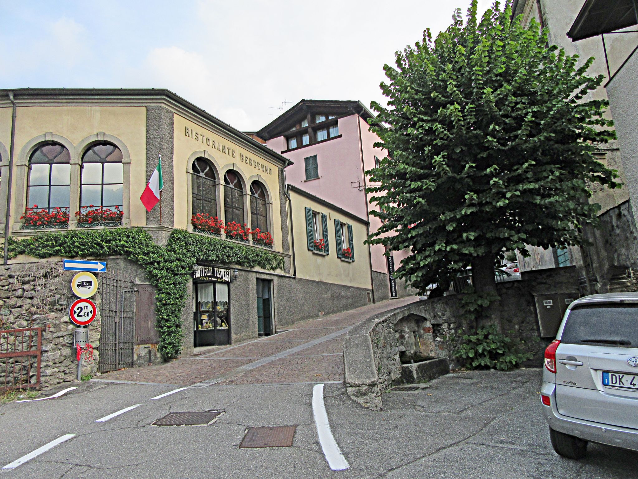
Prato Maslino is a short, brutal climb above Berbenno di Valtellina in Italy's Lombardia region, in the mountains between the Valtellina valley and Lake Como. From the valley floor in Berbenno, the road climbs 7.5 miles and gains 4,163 feet at a punishing 10.7% average grade to a dead-end summit near 4,900 feet - currently ranked #19 among Italy's toughest climbs.
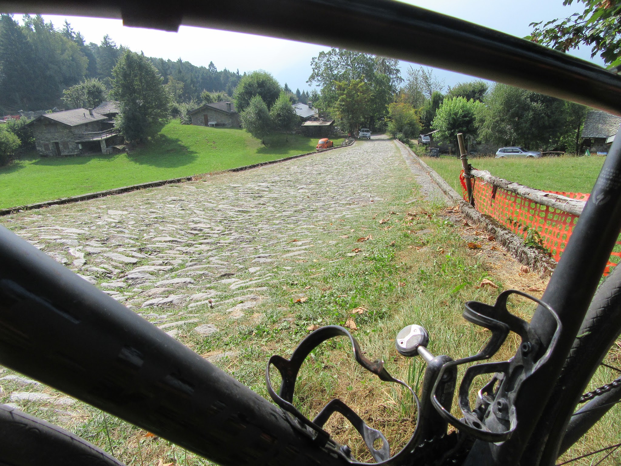
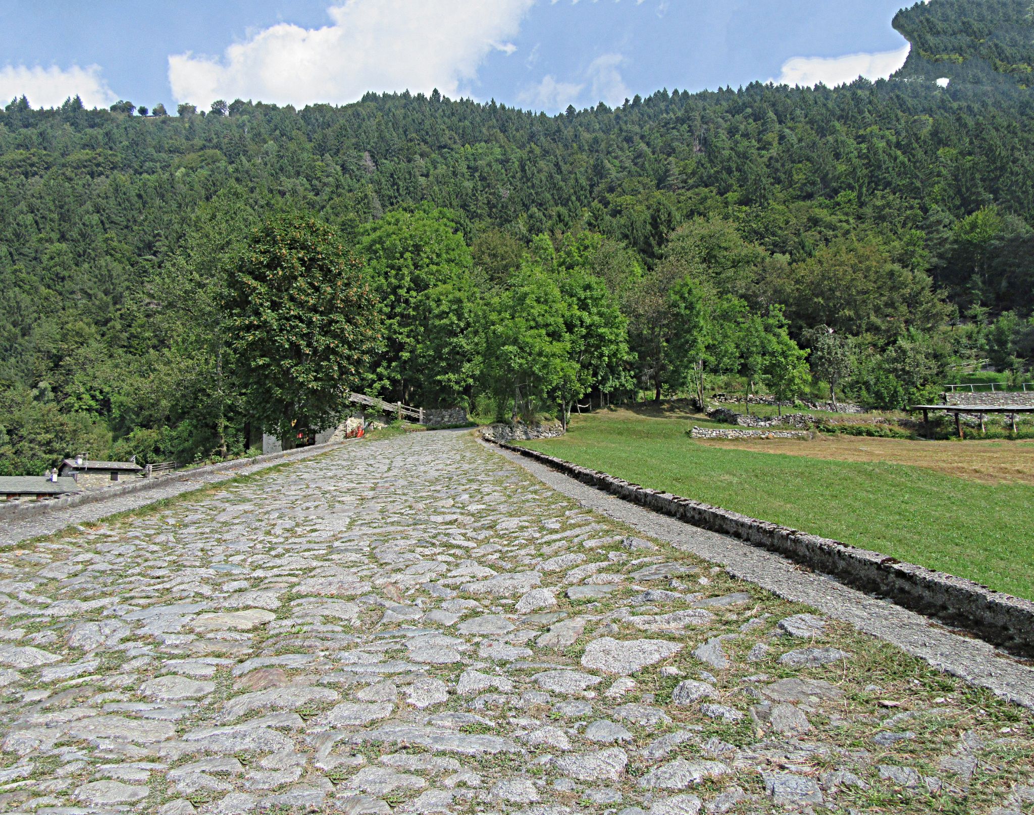
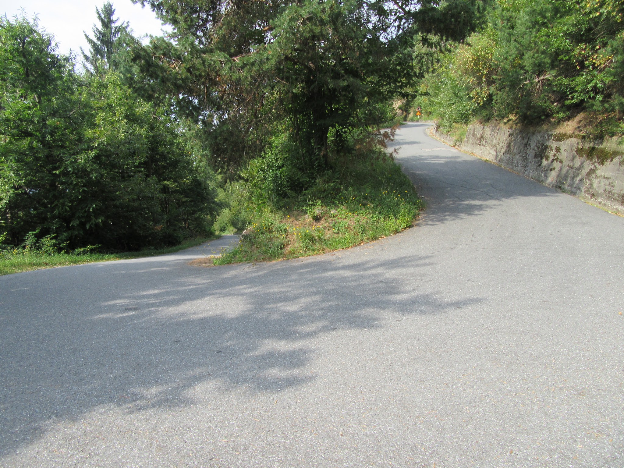
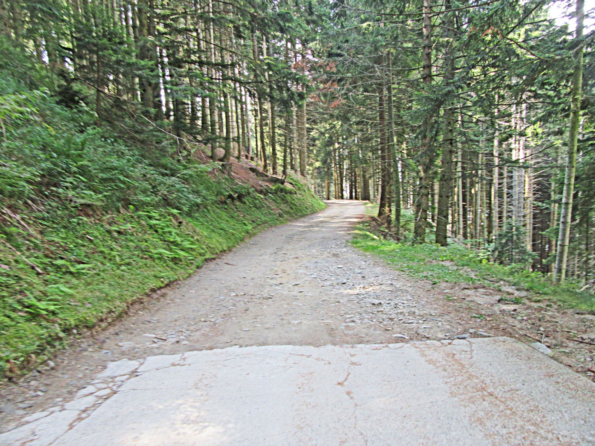
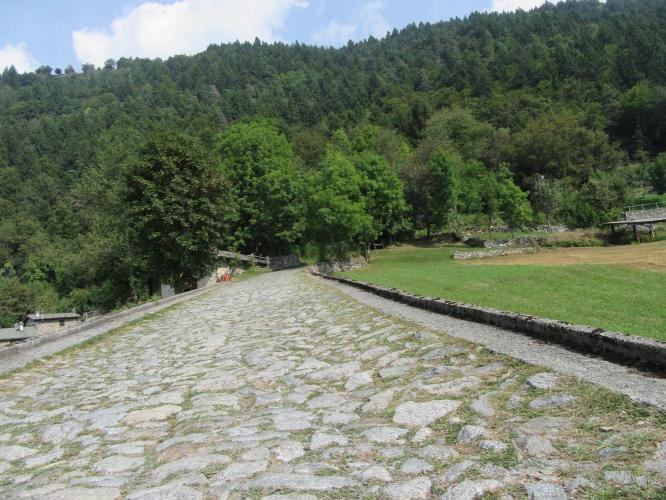
The climb splits into two very different halves. The first 1.8 miles out of Berbenno warm up at a relatively tame 8.7%, then at the signed "Prato Maslino" turnoff the road narrows and rears up hard - the remaining 5 miles average 13.1%, including a closing 1.5-mile ramp that holds 14.5%. We counted 41 switchbacks along the way, and the pavement roughens with a few stretches of loose gravel and old cobblestones higher up, echoing the cobbled climbs of the Tour of Flanders.
Views south and west over Berbenno and its surrounding peaks are brief but worthwhile, though this is a climb defined by sheer difficulty rather than scenery. It's rarely ridden and has never featured in the Giro d'Italia, since the road dead-ends at the top instead of connecting to another valley or pass. This is one for riders looking for a genuine leg-breaker, not a postcard descent.
PLAN YOUR ROUTE
 We've partnered with Sherpa-Map.com to bring you the best route planning tool. With a PRO Membership you can use this climb as a reference when creating your route.
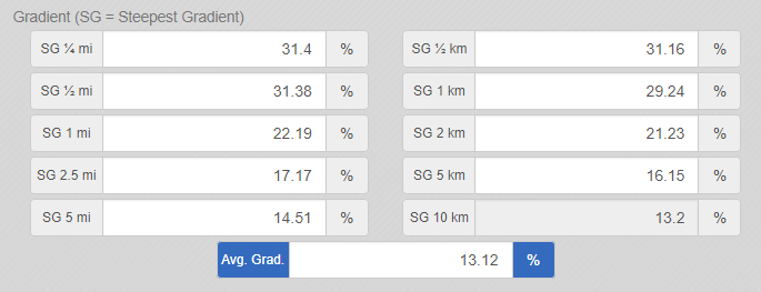
 This climb's difficulty comes from consistency, not just peak steepness. The 7.5-mile ascent averages 10.7%, but the front section is deceptively mild - just 8.7% for the first 1.8 miles out of Berbenno. Once the road narrows onto the unnamed lane marked "Prato Maslino," the difficulty spikes hard: the remaining 5 miles average 13.1%, and the closing 1.5 miles to the summit hold 14.5%. The steepest quarter-mile section touches 15.3%, concentrated among the switchbacks in the upper third of the climb - by our count there are 41 of them on this short route.
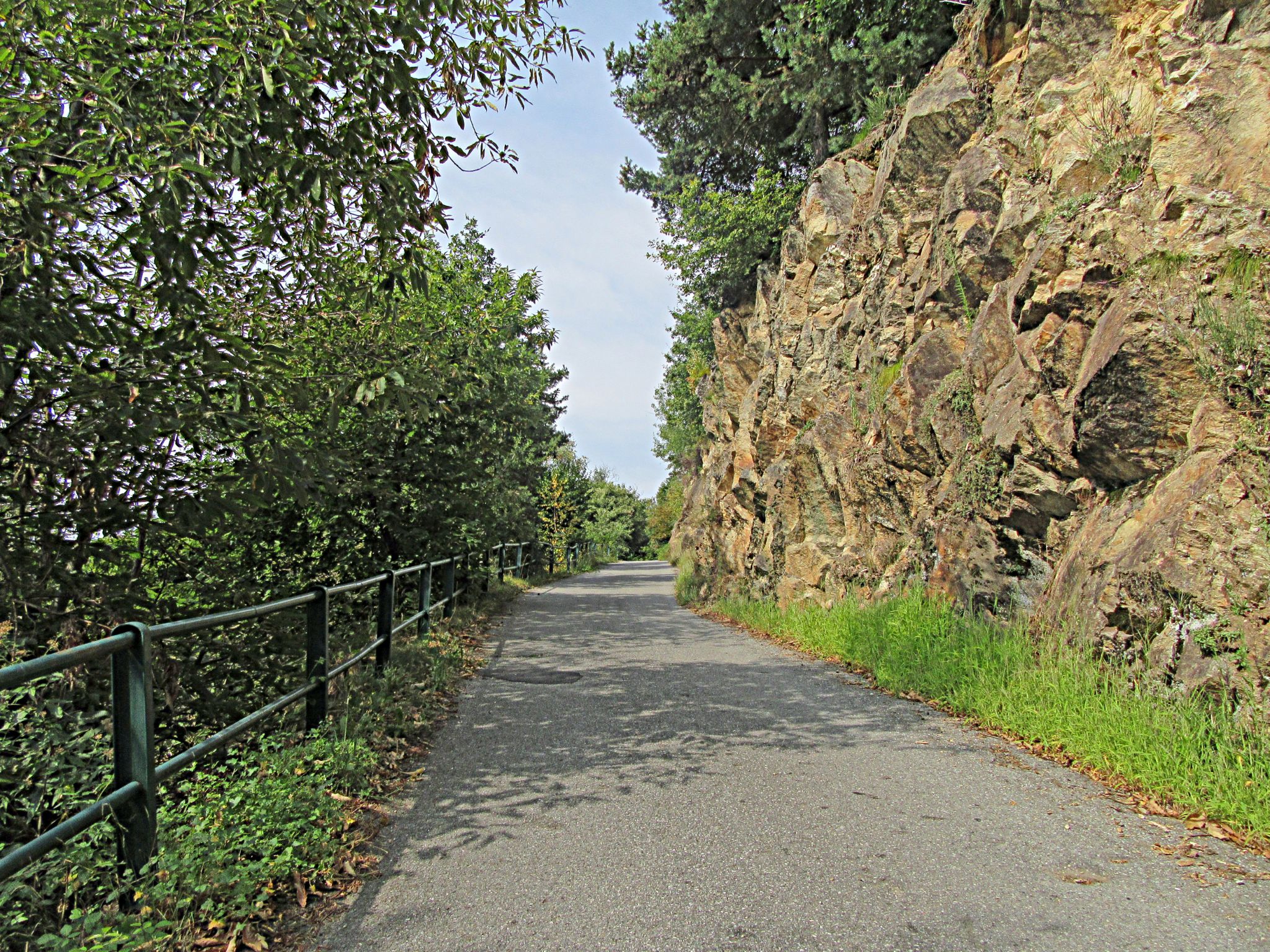
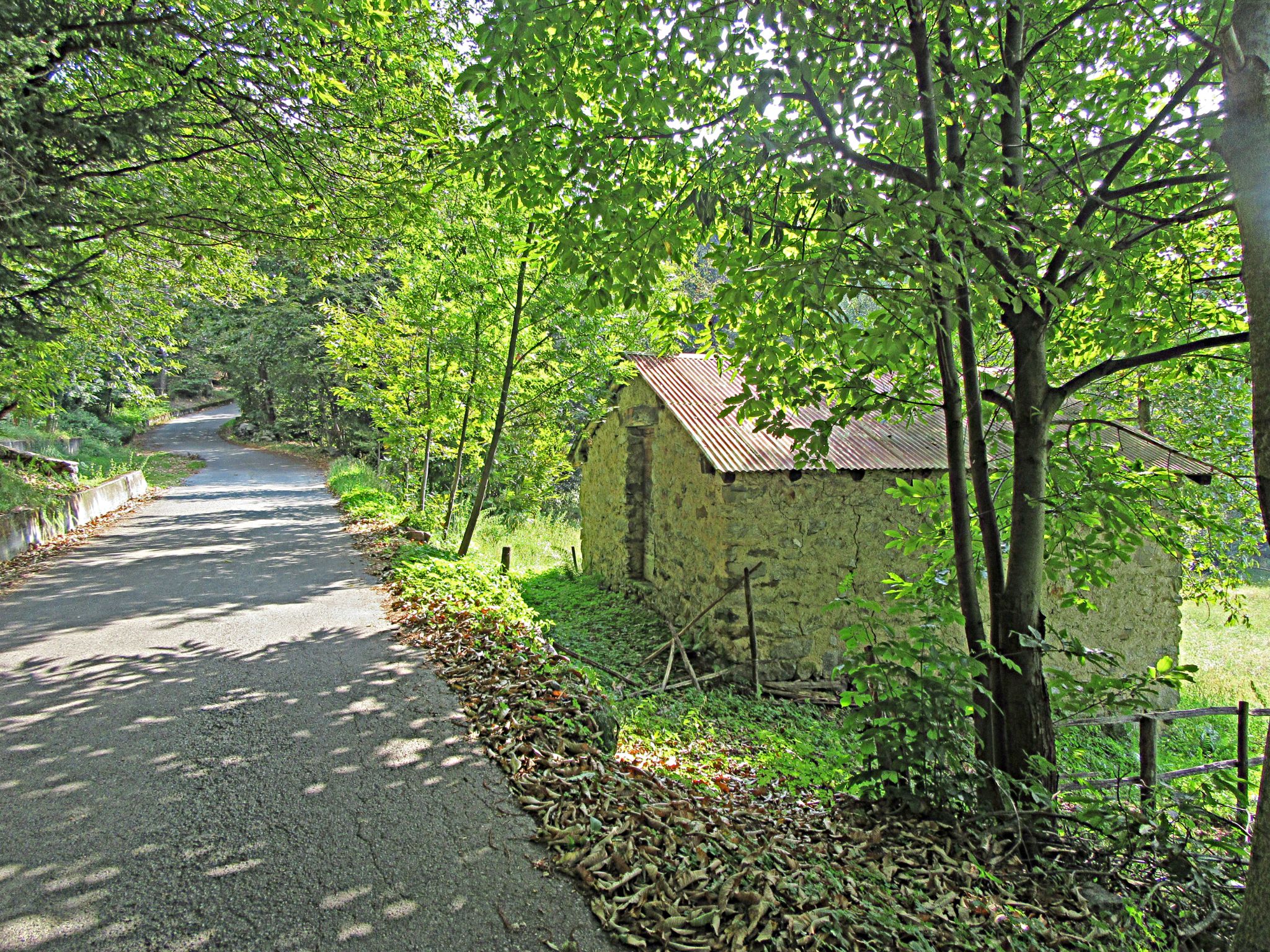
Roadway: The first 1.8 miles out of Berbenno run on good asphalt. Past the signed "Prato Maslino" turnoff, the surface gets progressively rougher - patched pavement, some broken edges, and a few short stretches of loose gravel and old cobblestones in the closing kilometers. It's manageable on a road bike going up, but descend with caution - the same loose gravel and jarring bumps are more hazardous heading down, especially through the switchbacks. Note that the unpaved agro-forestry track that continues beyond Prato Maslino toward Val Finale has seen periodic closures for landslide repair and maintenance work in 2025 and 2026 - that track lies past the point where this ride effectively ends for road bikes, but anyone continuing on foot or by gravel bike should check current status with the Comune di Berbenno di Valtellina first.
Traffic: Very light throughout. This is a quiet, little-known local road with essentially no through-traffic since it dead-ends at the top - a safe climb from a traffic standpoint.
Parking: There's no dedicated cycling lot. Riders typically park along the road shoulder near the base in Berbenno di Valtellina, close to the SS 38/Via Berbenno junction, or in the village center.
Berbenno di Valtellina is a small town with basic services - a bar/cafe and a small grocery - but no dedicated bike shop; the nearest full-service shops are down the valley in Sondrio, about 8 km away. Given the terrain, favor low gearing (a 34x28 or easier is a common recommendation from local riders) since the closing pitches hold in the mid-teens percent. Bring more water than you think you need - there are no services once you leave the village - and expect the road to roughen near the top, so slightly wider tires and good brakes for the descent are worth having.
Before heading out on any cycling adventure check out our Things to Bring on a Cycling Trip and use our interactive check list to ensure you don't forget anything.
Berbenno sits in the heart of the Valtellina wine region, on the sunny slope between Sondrio and Morbegno, surrounded by the terraced vineyards that produce Valtellina Superiore and Sforzato di Valtellina DOCG reds. After the ride, it's worth stopping for local Bresaola della Valtellina IGP and Bitto or Casera cheese, both regional specialties. Spring through autumn is the best window - the climb's south and west exposure can run hot on the lower slopes in summer, so an early start is worthwhile. Sondrio, about 8 km away, has the closest full range of hotels, restaurants, and train service on the Milano-Tirano line.
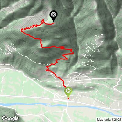
ROUTE MAP
MEMBER RATING
CURRENT WEATHER
PJAMM TRIPS ADVENTURE STARTER BUNDLES
Check out PJAMM Adventure's prepackaged (self-guided) cycling trips. They will help you plan, document and conquer your next adventure.
NEARBY CLIMBS (0) RADIAL PROXIMITY
FROM No Climbs Found
MEMBER REVIEWS & COMMENTS
Let us know what you thought of this climb. Signup for our FREE membership to write a review or post a comment.
Already have an account?
LOG IN HERE