44.7
PDI
8 mi
DISTANCE
4,570 ft
GAINED
10.8 %
AVG. GRADE
FULL CLIMB STATS
Page Contributor(s): Dennis M, Campbell CA, USA.
INTRO
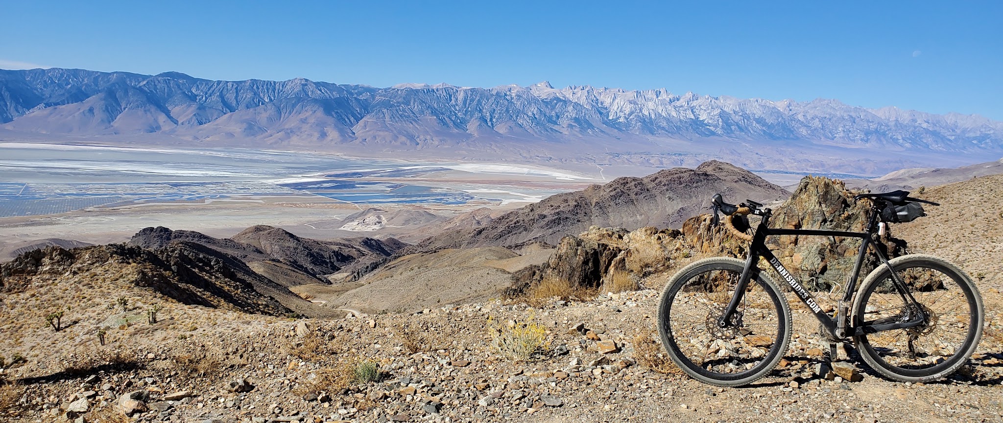
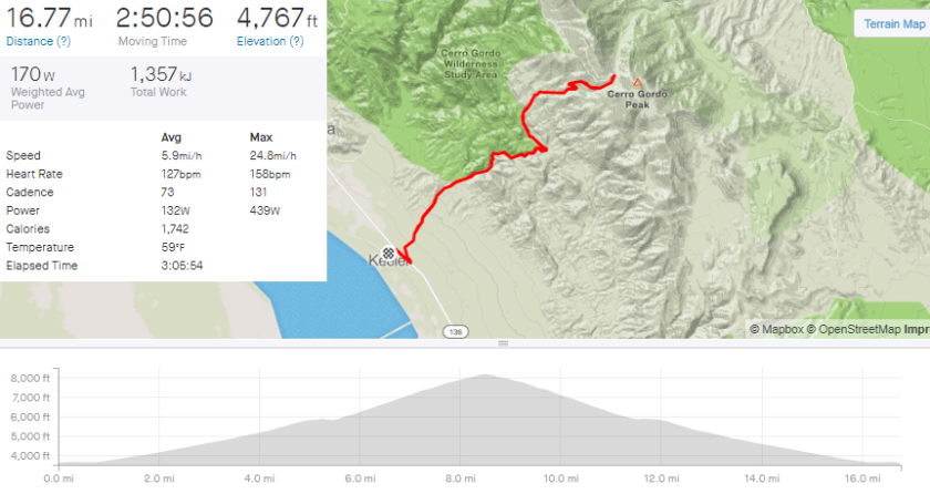
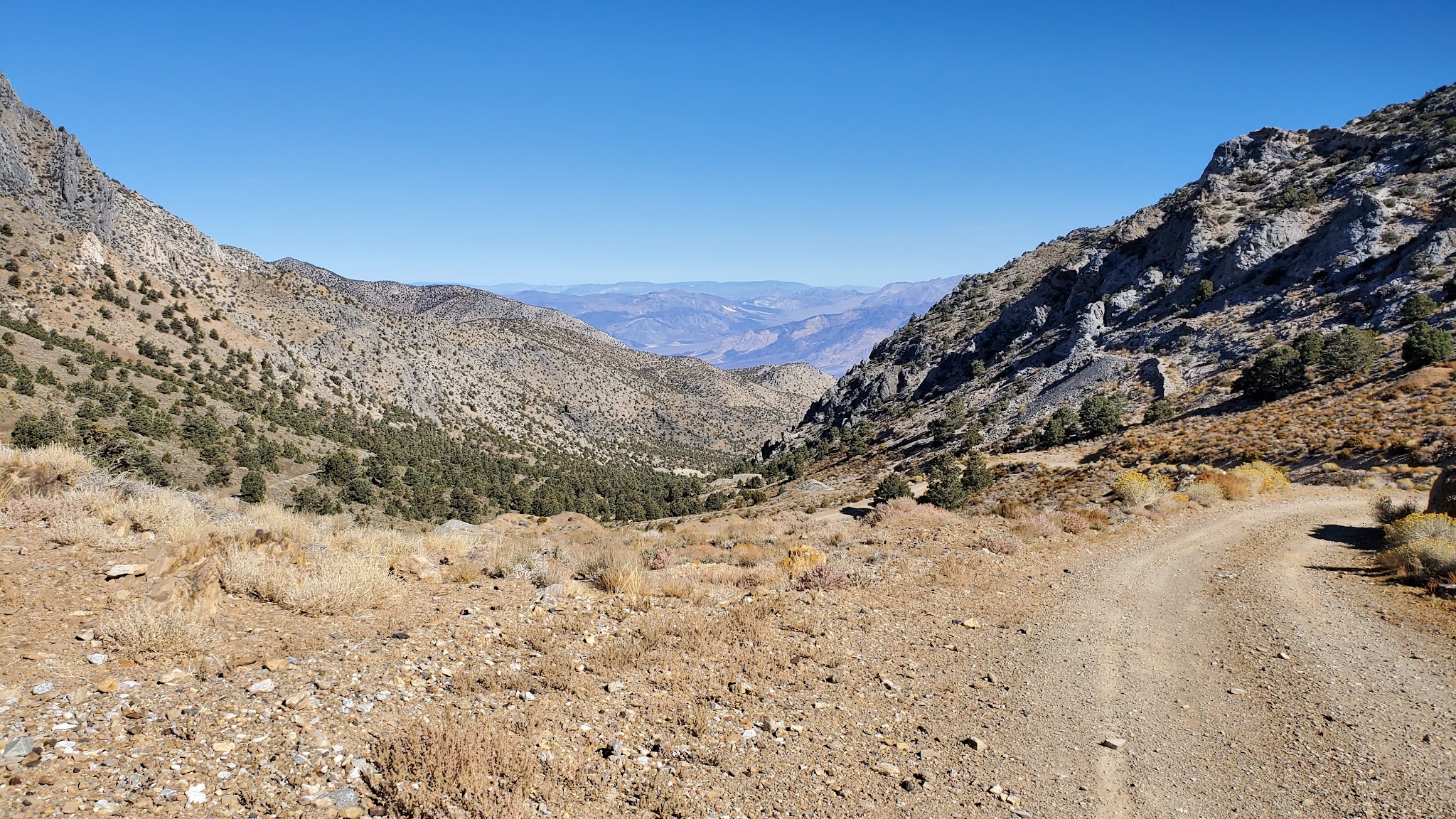
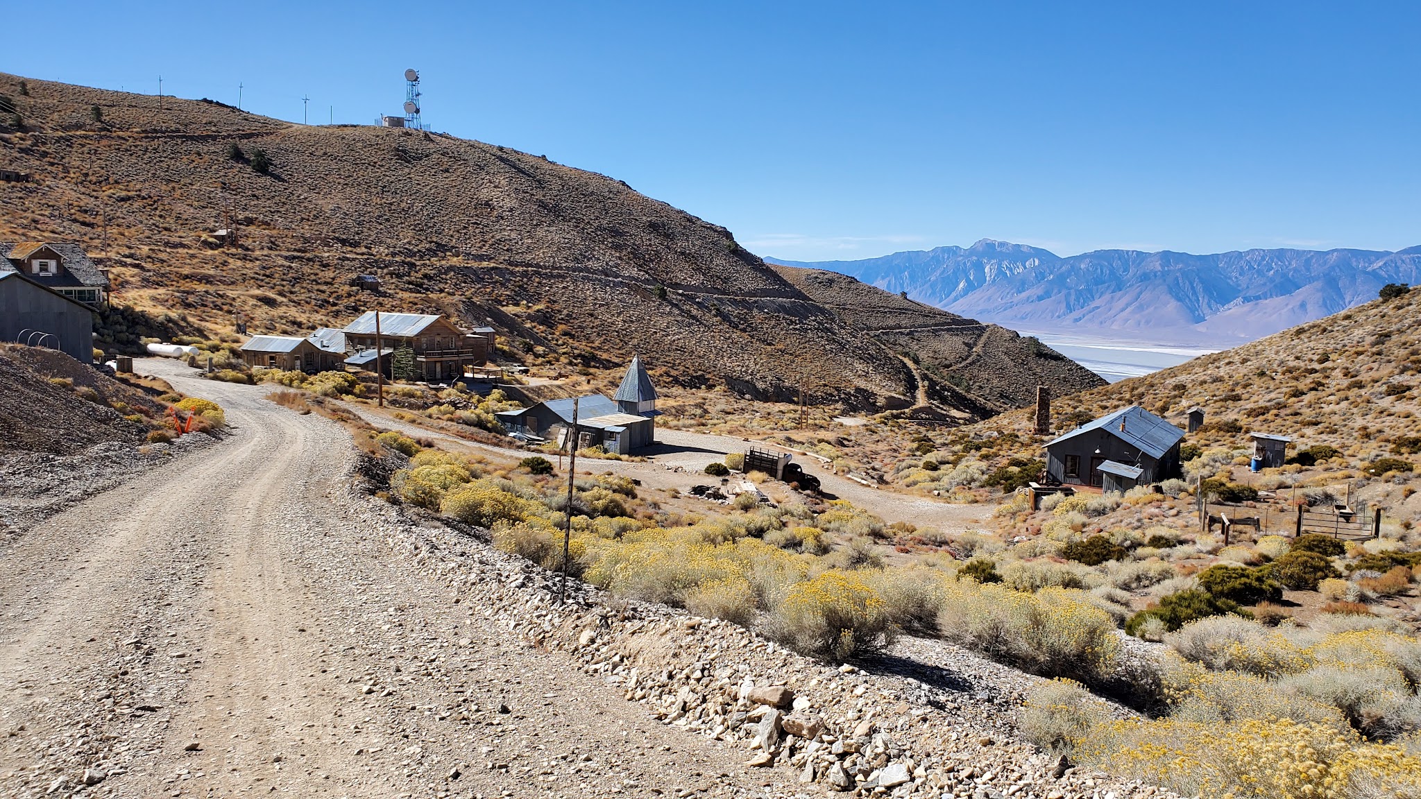
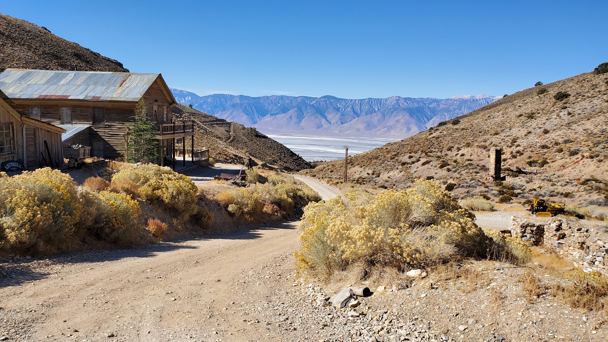
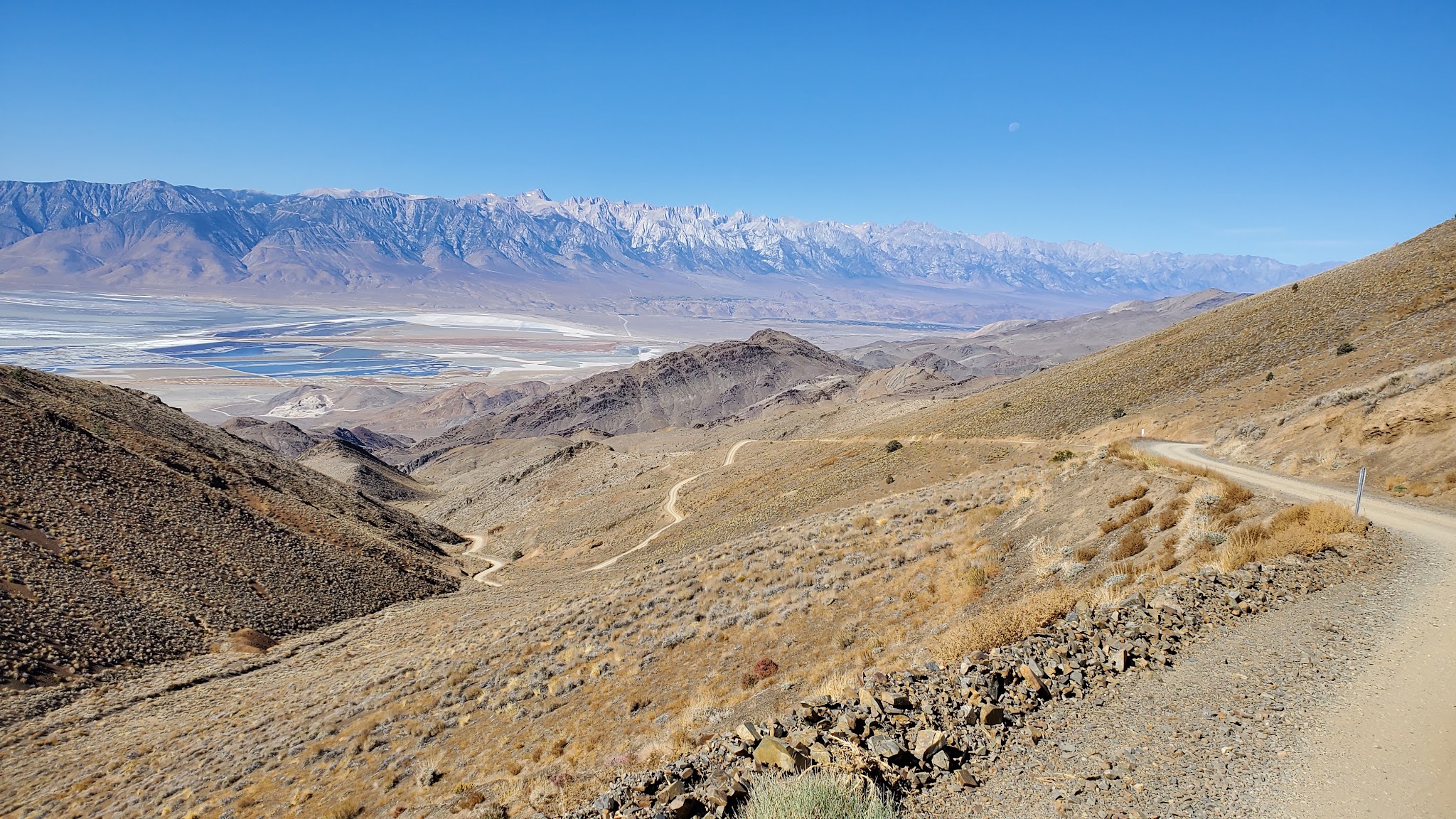
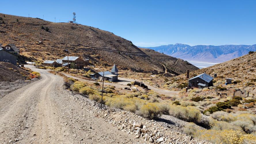
Cerro Gordo Road climbs 4,570 feet over just 7.98 miles at a brutal 10.83% average grade, making a real claim as one of the steepest sustained climbs in California. The road leads to Cerro Gordo, a 19th-century silver mining ghost town perched above the Owens Valley near Keeler.
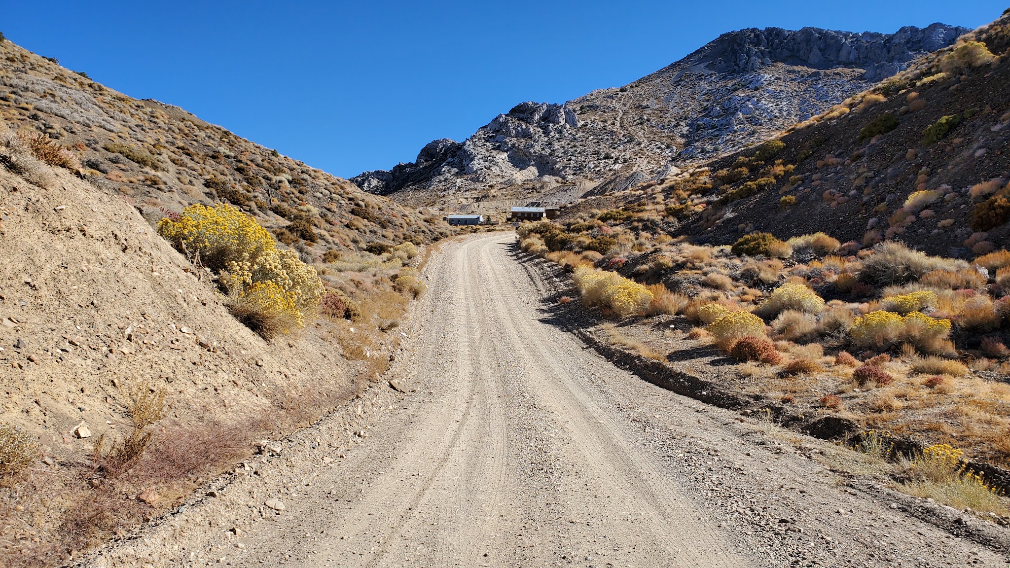
The road was carved into the mountainside in 1865 to haul silver ore down from what was once California's richest silver mine. Today it's the only vehicle access to the ghost town, which has been restored as a small museum and occasional lodging operation.
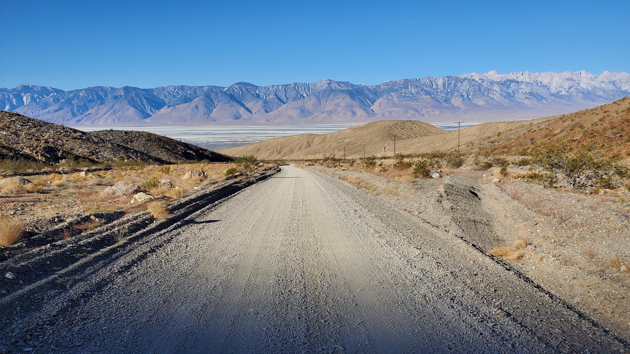
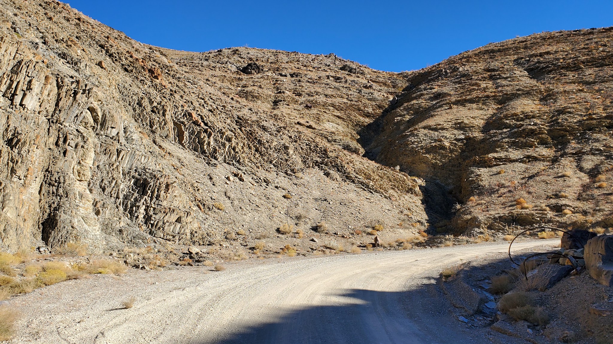
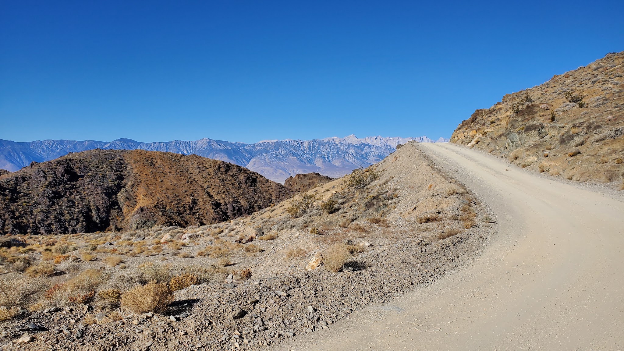
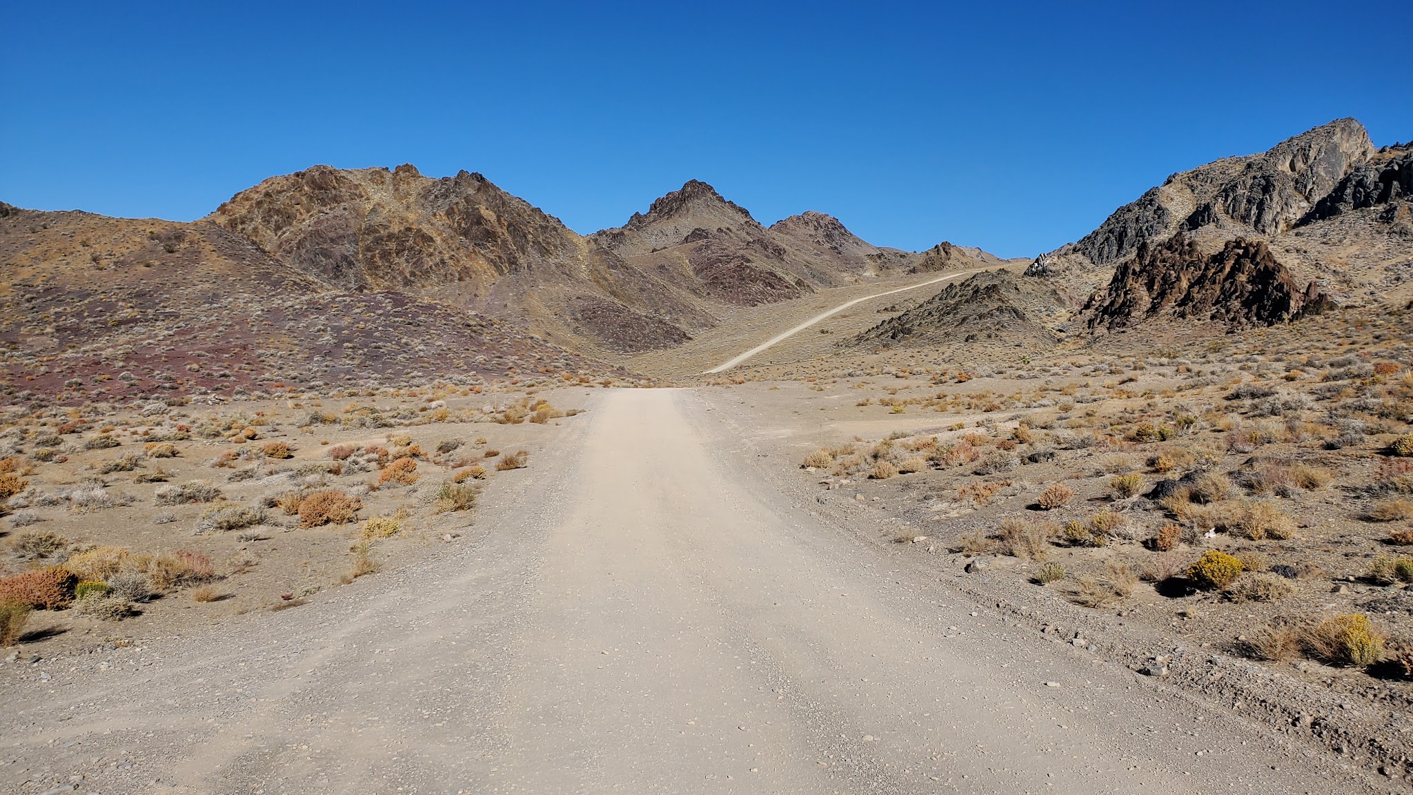
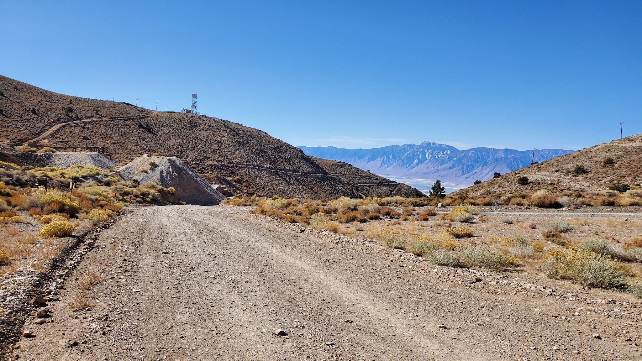
The first five miles hold a manageable 8-10% grade on a reasonably maintained dirt surface with some washboard. Past mile 4.8, the road turns steeper and looser, with embedded stones and shallow ledges that make the final push to the museum deck at roughly 8,200 feet a genuine technical test as well as a fitness one.
PLAN YOUR ROUTE
 We've partnered with Sherpa-Map.com to bring you the best route planning tool. With a PRO Membership you can use this climb as a reference when creating your route.
 See more details and tools regarding this climb's grade via our interactive Profile Tool.
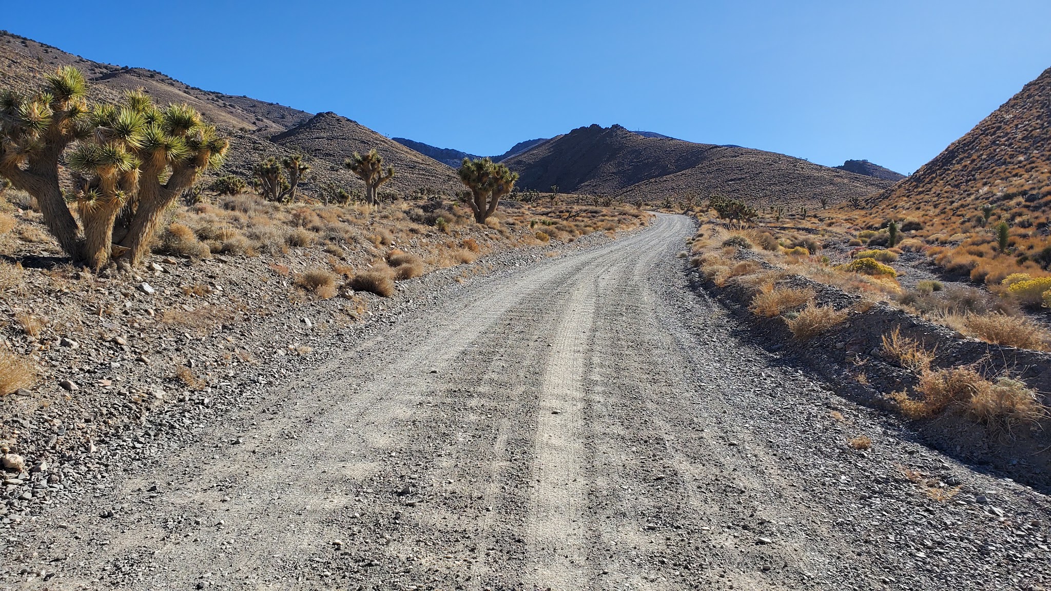
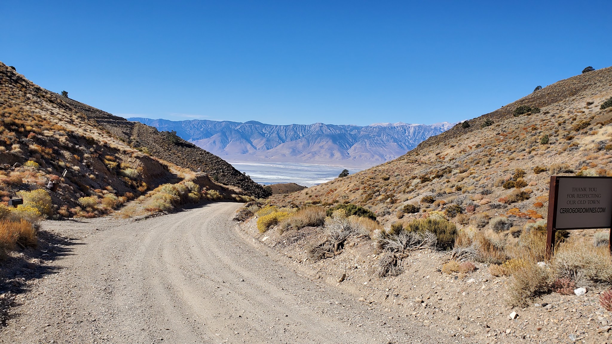
Roadway: Unpaved the entire way - a dirt and gravel utility road, not pavement. The first five miles are reasonably maintained with some washboard at a manageable 8-10% grade; past mile 4.8 the surface turns looser and rockier, with embedded stones and shallow ledges through the steepest sections.
Traffic: Light - this is a remote utility road serving the ghost town, not a through route. Occasional 4WD vehicle traffic accessing Cerro Gordo, especially on weekends.
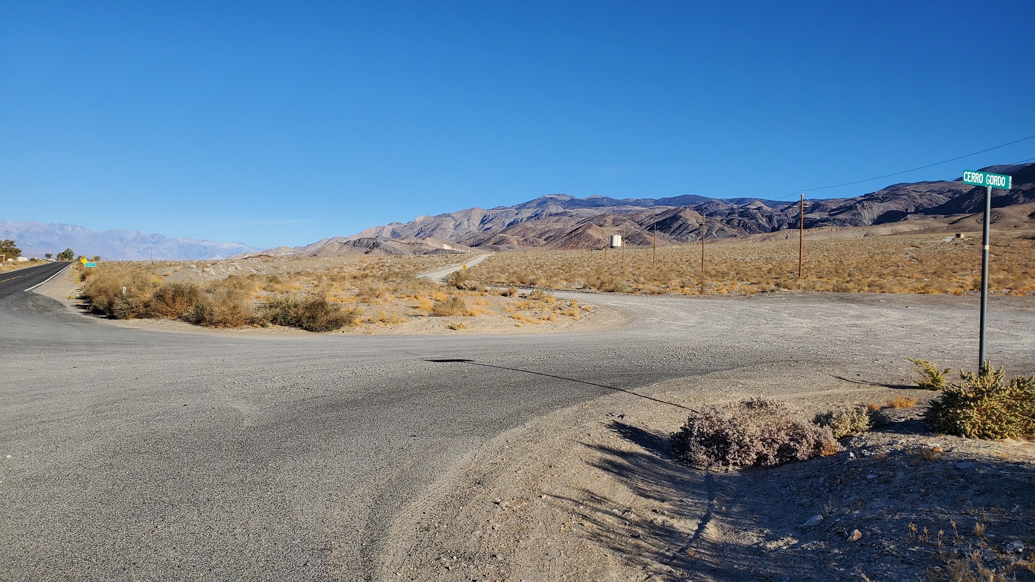
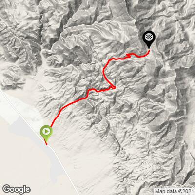
Parking: Start from the T intersection of Cerro Gordo Road and Highway 136, where there's room to park along the shoulder near the base of the climb.
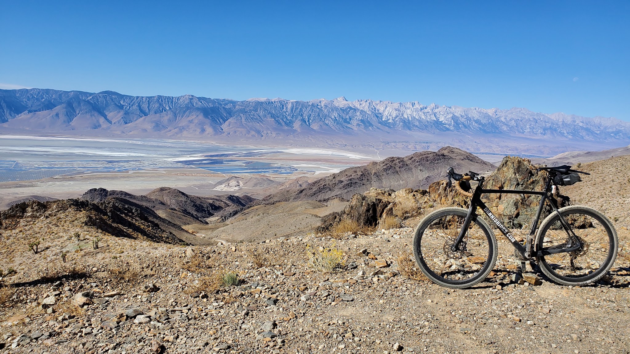
This is a genuine off-road climb - a gravel or mountain bike with wide tires is strongly recommended over a road bike, especially for the loose, rocky sections past mile 4.8. Carry all the water and food you'll need; there are no services on the road itself.
Before heading out on any cycling adventure check out our Things to Bring on a Cycling Trip and use our interactive check list to ensure you don't forget anything.
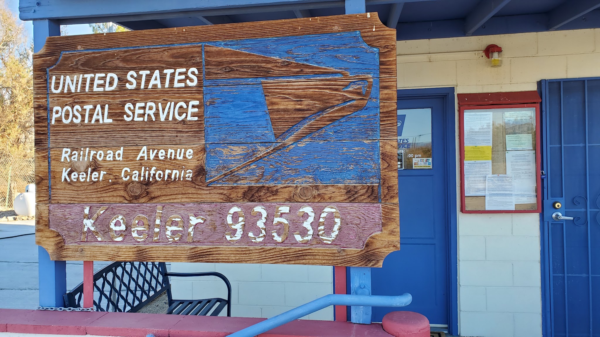
Keeler and Lone Pine are the nearest towns for lodging and supplies. Cerro Gordo itself has been restored as a small museum with occasional overnight lodging - check current hours and availability before planning around it, since access has varied over the years.
ROUTE MAP
MEMBER RATING
CURRENT WEATHER
PJAMM TRIPS ADVENTURE STARTER BUNDLES
Check out PJAMM Adventure's prepackaged (self-guided) cycling trips. They will help you plan, document and conquer your next adventure.
NEARBY CLIMBS (0) RADIAL PROXIMITY
FROM No Climbs Found
MEMBER REVIEWS & COMMENTS
Let us know what you thought of this climb. Signup for our FREE membership to write a review or post a comment.
Already have an account?
LOG IN HERE
Aquinomas
I did this climb on my mountain bike and found it challenging with even my lowest gears.
The loose dirt and overall steepness made this by far the most difficult ride I've done in California (I've done Horseshoe Meadow and Whitney Portal in a day)
After completing the ride I told myself never again, but most cyclists have bad memories and I'm already planning to summit and continue down to Death Valley and back for a 60 mile loop.
For the challenge, solitude and spectacular scenery I highly recommend this climb.
It's an unforgettable experience.