25.8
PDI
11.6 mi
DISTANCE
4,274 ft
GAINED
6.3 %
AVG. GRADE
FULL CLIMB STATS
Page Contributor(s): Heiko Linnert, Germany
INTRO
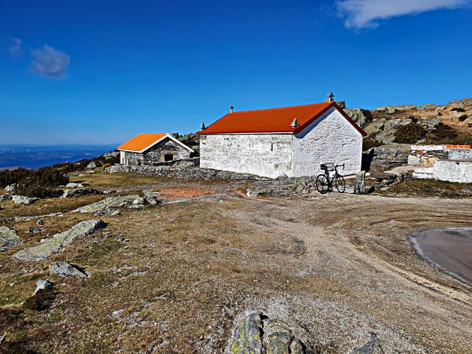
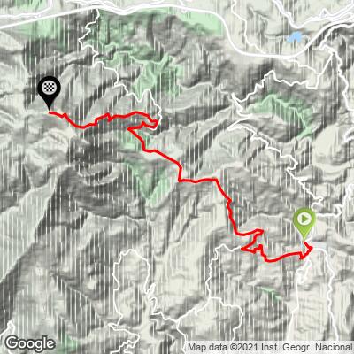
Marão East climbs the eastern flank of the Serra do Marão, Portugal's sixth-highest mountain range, from the small village of Fontes in the Vila Real District. The route covers 18.6 km (11.6 mi) and gains 1,303 m (4,274 ft) at a 6.3% average grade, finishing near the historic pass at roughly 1,406 m (4,613 ft).
The grade isn't steady - the steepest half-kilometer averages a leg-breaking 20.0%, and the steepest full kilometer still averages 17.8%, while other stretches ease off considerably. That unevenness, combined with the mountain's notoriously changeable weather, makes pacing as much of a challenge here as raw fitness.
Serra do Marão has long been one of the most significant - and feared - mountain crossings in northern Portugal. Before the A4 motorway's 5.6 km Marão Tunnel opened in 2016, the old pass road was considered one of the country's most dangerous in winter, prone to fog, ice, and long closures. Cyclists now have the old road largely to themselves, since most through-traffic between Amarante and Vila Real has shifted into the tunnel below.
Fontes itself sits at the edge of the Douro wine region - Santa Marta de Penaguião, the parish it belongs to, is known for its terraced vineyards - so the ride starts in cultivated valley terrain before climbing into wilder, forested mountain country.
PLAN YOUR ROUTE
 We've partnered with Sherpa-Map.com to bring you the best route planning tool. With a PRO Membership you can use this climb as a reference when creating your route.
 Marão East runs 18.6 km (11.6 mi) from Fontes and gains 1,303 m (4,274 ft) at a 6.3% average grade, starting at 230 m (756 ft) and finishing around 1,406 m (4,613 ft) near the Marão pass.
The grade is uneven rather than constant. The steepest half-kilometer averages 20.0%, the steepest full kilometer 17.8%, and the steepest mile 15.8% - but the steepest 5 km block, which covers roughly a third of the route, averages a more moderate 12.9%. Expect the effort to come in surges: hard, punchy pitches broken up by flatter recovery stretches, rather than one long, even grind.
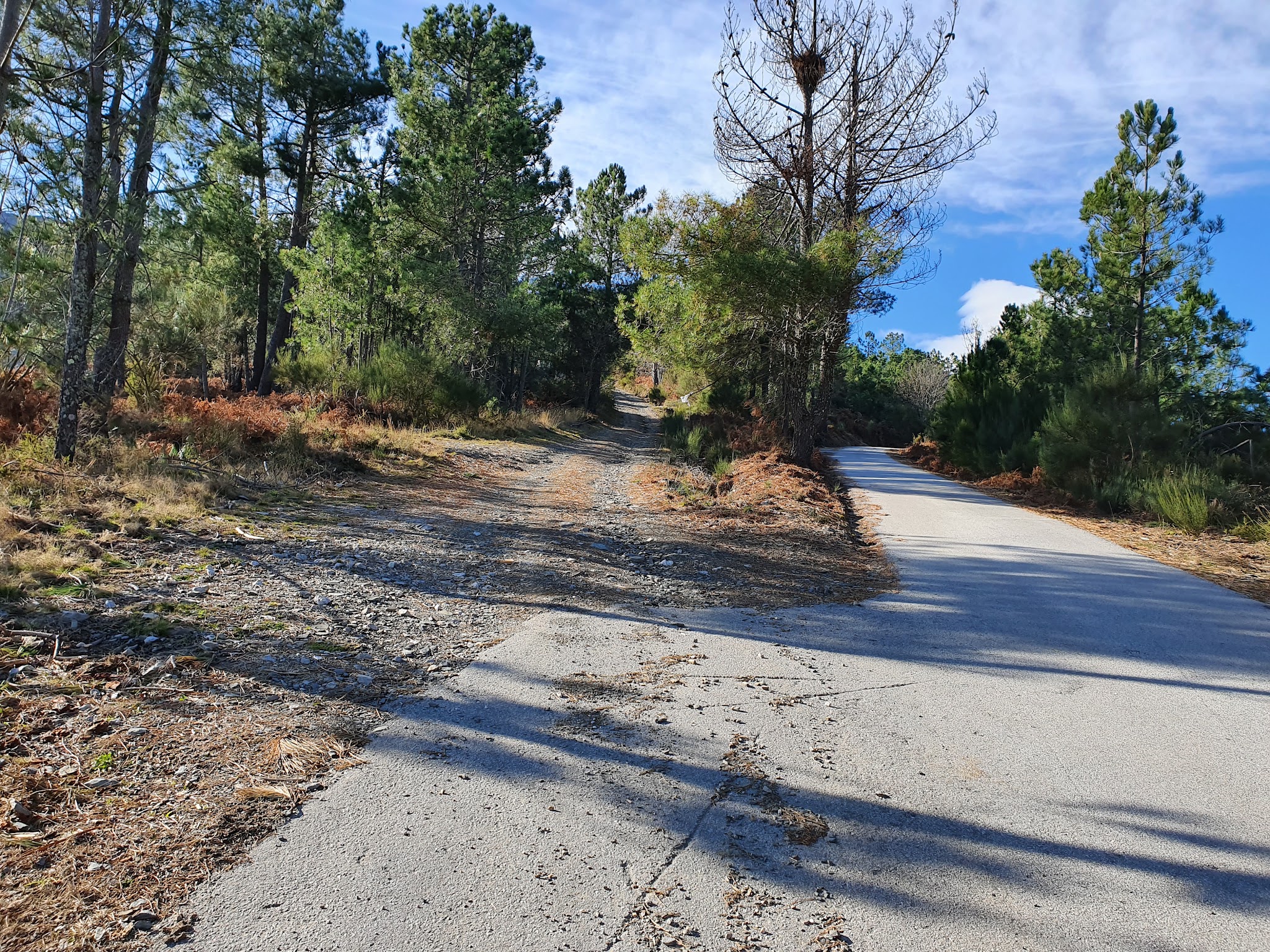
Roadway: The road is paved for the entire climb. This was historically part of the IP4/N304, one of the primary routes linking the Douro region to Amarante and Porto, and the surface has been kept in reasonable condition as a result - though as with any high mountain road in this area, expect the occasional patched section, and be prepared for fog or wet pavement near the top even in good weather lower down.
Traffic: Traffic is now light for a road of this size. Since the 5.6 km Marão Tunnel opened on the A4 motorway in 2016, most vehicles bound between Vila Real and Amarante use the tunnel instead of the old mountain pass, leaving the historic route largely to local traffic and cyclists.
Parking: The climb starts in Fontes, a small village with informal roadside parking available near the village center where the climb road begins.
There are no services once you leave Fontes, and nothing at the summit itself beyond the pass infrastructure, so fill bottles and eat before you start - at 18.6 km (11.6 mi), most riders will want at least one full bottle and some on-bike nutrition.
Gear low for the steep pitches - the steepest half-kilometer averages 20.0%, so a compact crankset paired with a wide-range cassette (30-tooth or larger low gear) is a sensible choice even for strong riders. Serra do Marão's weather can turn quickly at altitude - pack a light shell or arm warmers even on a warm day in the valley, since fog and wind are common near the pass.
Before heading out on any cycling adventure check out our Things to Bring on a Cycling Trip and use our interactive check list to ensure you don't forget anything.
Fontes sits at the edge of the Douro wine region, in the parish of Santa Marta de Penaguião - known for its steep, terraced vineyards - so a visit here pairs naturally with a stop in the Douro Valley for wine tasting before or after the ride.
Base yourself in Vila Real, the district capital about 20 minutes from Fontes, for a fuller range of hotels and restaurants if you're planning more than one day of riding in the area. The city is also a reasonable base for the separate Marão West approach from Amarante, on the mountain's other side, if you want to compare both routes to the same summit.
Serra do Marão's weather is notoriously changeable - fog and rain can roll in with little warning even when the valley below is clear. Check our Weather tool for current conditions at the summit before you commit to the climb.
ROUTE MAP
MEMBER RATING
CURRENT WEATHER
PJAMM TRIPS ADVENTURE STARTER BUNDLES
Check out PJAMM Adventure's prepackaged (self-guided) cycling trips. They will help you plan, document and conquer your next adventure.
NEARBY CLIMBS (0) RADIAL PROXIMITY
FROM No Climbs Found
MEMBER REVIEWS & COMMENTS
Let us know what you thought of this climb. Signup for our FREE membership to write a review or post a comment.
Already have an account?
LOG IN HERE