17.7
PDI
10.7 mi
DISTANCE
3,193 ft
GAINED
5.6 %
AVG. GRADE
FULL CLIMB STATS
INTRO
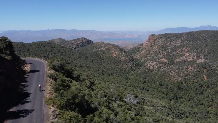
A well kept secret, this climb is one of the most beautiful in Arizona. Start in the low desert among massive, hundred-year old saguaro cacti, and climb past Sedona-like red rock canyons into high pine country, the entire time having a stunning unobstructed view of Roosevelt Lake and the iconic Four Peaks.
PLAN YOUR ROUTE
See more details and tools regarding this climb's grade via our interactive Profile Tool.
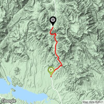
There are a few parking lots around where 288 crosses the Salt River - two before the bridge (on the left) and one after it (on the left). As of 2021, a Tonto National Forest pass wasn't necessary to park during the day at these sites.
Information Not Available
If you have any information regarding this climb, we'd like to hear from you. Click the CONTRIBUTE button to share your thoughts with us.
Before heading out on any cycling adventure check out our Things to Bring on a Cycling Trip and use our interactive check list to ensure you don't forget anything.
For more information about visiting Tonto National Forest, visit https://www.fs.usda.gov/tonto
ROUTE MAP
MEMBER RATING
CURRENT WEATHER
PJAMM TRIPS ADVENTURE STARTER BUNDLES
Check out PJAMM Adventure's prepackaged (self-guided) cycling trips. They will help you plan, document and conquer your next adventure.
NEARBY CLIMBS (0) RADIAL PROXIMITY
FROM No Climbs Found
MEMBER REVIEWS & COMMENTS
Let us know what you thought of this climb. Signup for our FREE membership to write a review or post a comment.
Already have an account?
LOG IN HERE
whitworks
this ride is a gem. well worth the drive. yes, uphill it has a few pretty steep ramps, and downhill it has some potholes.
cheminant
Rode it yesterday, April 2. A fair amount of potholes with gravel and debris around them. Quite cold this early in the season. Beautiful ride. Steady climb to initial ridge, small downhill across an upper mountain valley, then climb resumes to end of paved road.