10.2
PDI
15.1 mi
DISTANCE
2,537 ft
GAINED
3 %
AVG. GRADE
FULL CLIMB STATS
Page Contributor(s): Steve Jones, Olympia, WA; Joel Blatt, Bend, OR; Mark Mathewson/Catherine Dubay, Santa Rosa, CA
INTRO
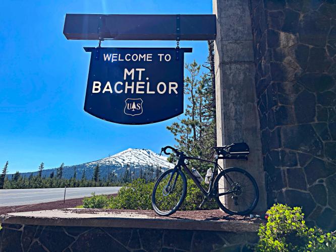
Our source of cycling in Central Oregon, Joel Blatt, recommends this loop which includes most of the Mt. Bachelor from Bend climb (Start at Wanoga Sno-Park, climb to Mount Bachelor Ski Resort, loop past Elk Lake Resort, left on NF-40, and left on NF-45 (Sunriver Cutoff climb) - Bacherlor Loop.
PLAN YOUR ROUTE
See more details and tools regarding this climb's grade via our interactive Profile Tool.
Information Not Available
If you have any information regarding this climb, we'd like to hear from you. Click the CONTRIBUTE button to share your thoughts with us.
Information Not Available
If you have any information regarding this climb, we'd like to hear from you. Click the CONTRIBUTE button to share your thoughts with us.
Before heading out on any cycling adventure check out our Things to Bring on a Cycling Trip and use our interactive check list to ensure you don't forget anything.
Information Not Available
If you have any information regarding this climb, we'd like to hear from you. Click the CONTRIBUTE button to share your thoughts with us.
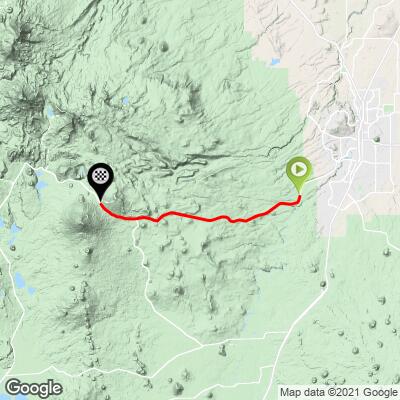
ROUTE MAP
MEMBER RATING
CURRENT WEATHER
PJAMM TRIPS ADVENTURE STARTER BUNDLES
Check out PJAMM Adventure's prepackaged (self-guided) cycling trips. They will help you plan, document and conquer your next adventure.
NEARBY CLIMBS (0) RADIAL PROXIMITY
FROM No Climbs Found
MEMBER REVIEWS & COMMENTS
Let us know what you thought of this climb. Signup for our FREE membership to write a review or post a comment.
Already have an account?
LOG IN HERE
Skotscott
July 4, 2024
This is a long, gradual climb from Bend on a good road with a smooth, wide bike shoulder. Lots of high-speed traffic - 60+mph. This is a very popular climb so vehicle drivers are courteous and move over. Descent down is nice and not too fast because of the low gradient. I combined this with a 17 mile descent down to SunRiver for a quick snack then climbed back up and down to Bend. HWY 45 down to SunRiver is also a good road with wide shoulders and very little traffic. Adds 34 miles RT and 2100ft.
joelmblatt
Climbing up to Mount Bachelor is safe, given wide shoulder. The problem comes if/when you descend from Bachelor back to Bend. Oncoming traffic (scenic byway) will often be passing slower cars and not see you! You could be going upwards of 50 mph, which means you won't have much time to react, if necessary.