Newberry National Volcanic Monument Bike Climb - PJAMM Cycling

0
PDI
18.4 mi
DISTANCE
2,603 ft
GAINED
2.4 %
AVG. GRADE

FULL CLIMB STATS

Page Contributor(s): Steve Jones, Olympia, WA

INTRO

This 18.4 mile bike climb is located in OR, USA. The average gradient is 2.4% and there is a total elevation gain of 2,603 ft, finishing at 6,558 ft.

Use the profile tool, route map, and weather forecast to conquer this cycling climb.

PLAN YOUR ROUTE

We've partnered with Sherpa-Map.com to bring you the best route planning tool. With a PRO Membership you can use this climb as a reference when creating your route.

See more details and tools regarding this climb's grade via our interactive Profile Tool.
Information Not Available

If you have any information regarding this climb, we'd like to hear from you. Click the CONTRIBUTE button to share your thoughts with us.

Information Not Available

If you have any information regarding this climb, we'd like to hear from you. Click the CONTRIBUTE button to share your thoughts with us.

Before heading out on any cycling adventure check out our Things to Bring on a Cycling Trip and use our interactive check list to ensure you don't forget anything.
Information Not Available

If you have any information regarding this climb, we'd like to hear from you. Click the CONTRIBUTE button to share your thoughts with us.

ROUTE MAP

MEMBER RATING

Difficulty: Strenuous
4
Road
2
Traffic
3
Scenery

CURRENT WEATHER

PJAMM TRIPS ADVENTURE STARTER BUNDLES

Check out PJAMM Adventure's prepackaged (self-guided) cycling trips. They will help you plan, document and conquer your next adventure.
ALL TRIPS
Browse all of our prepackaged trips and find your next adventure!

NEARBY CLIMBS (0) RADIAL PROXIMITY

FROM
No Climbs Found

MEMBER REVIEWS & COMMENTS

Let us know what you thought of this climb. Signup for our FREE membership to write a review or post a comment.
Already have an account?

Apr 5, 2021
difficulty: Strenuous
scenery: 3
traffic: 2
road: 4
Apr 5, 2021
scenery: 3
traffic: 2
road: 4
You can park right off 97. Ride out about 20 miles to East Lake, past Paulina Lake and Paulina Peak and back. Good climb and not too far from Bend. There will be traffic, because of campgrounds, hikers, et al. You ride on shoulder, which feels quite safe.
ROUTE MAP
PROFILE TOOL
Route Data
S.G. (%)
hide
Segment Data
hide
CLIMB SUMMARY

Cycling Newberry National Volcanic Monument (est. 1990)

Ride 18.4 miles gaining 2,600’ at 2.4% average grade.

The Newberry National Volcanic Monument is a sprawling 54,000 acres of lakes, lava flows, and unusual geologic features extending between Bend OR and La Pine OR adjacent to U.S. Highway 97.

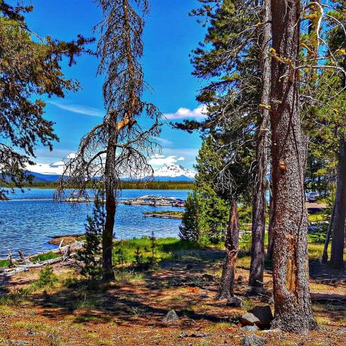
The climb to the twin craters of Paulina Lake (6,331 ft.) and East Lake (6,400 ft.) is a steady 18-mile, 2,200-foot ascent, ending at an assortment of campgrounds and modest resorts.

The ride begins at the intersection of U.S. Highway 97 and Paulina Lake Road (Road 21), just south of the resort community of Sunriver OR.  The gentle grade soon becomes quite steady.