21.1
PDI
4.1 mi
DISTANCE
2,355 ft
GAINED
11 %
AVG. GRADE
FULL CLIMB STATS
Page Contributor(s): Bryant Robbins and Jill Aho, Palmer, AK, USA
INTRO
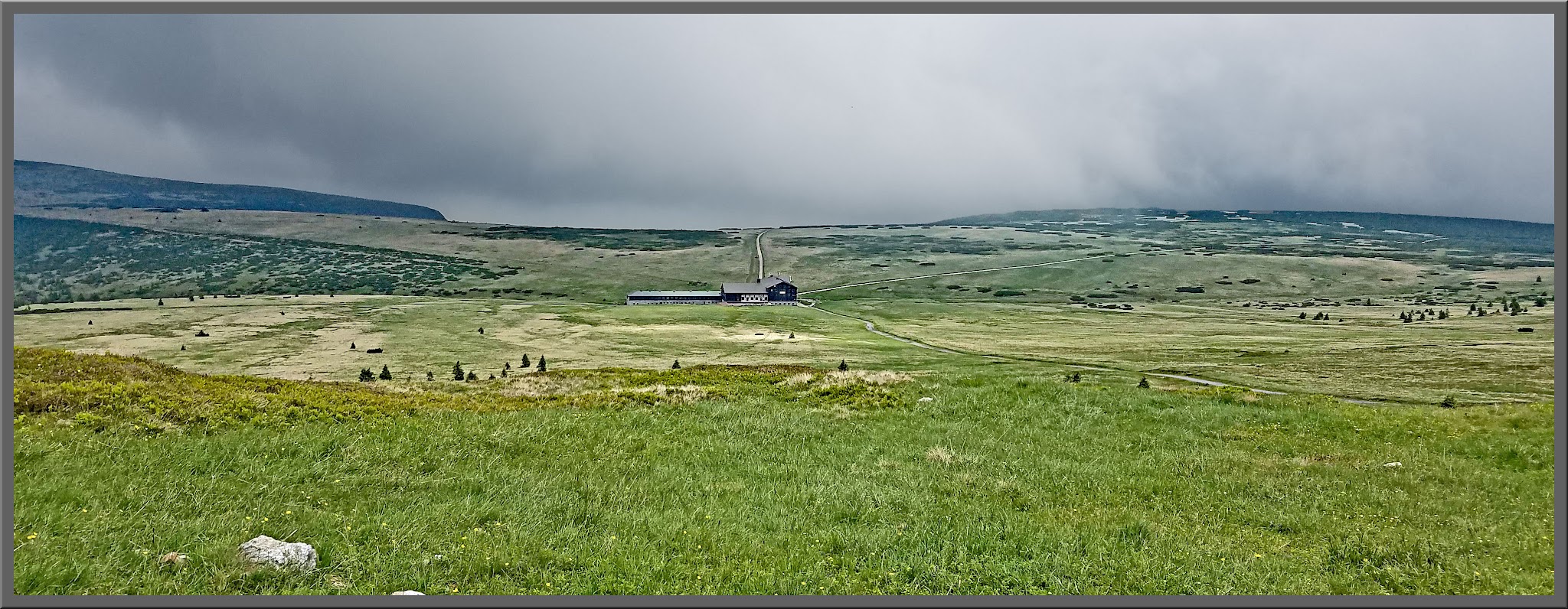
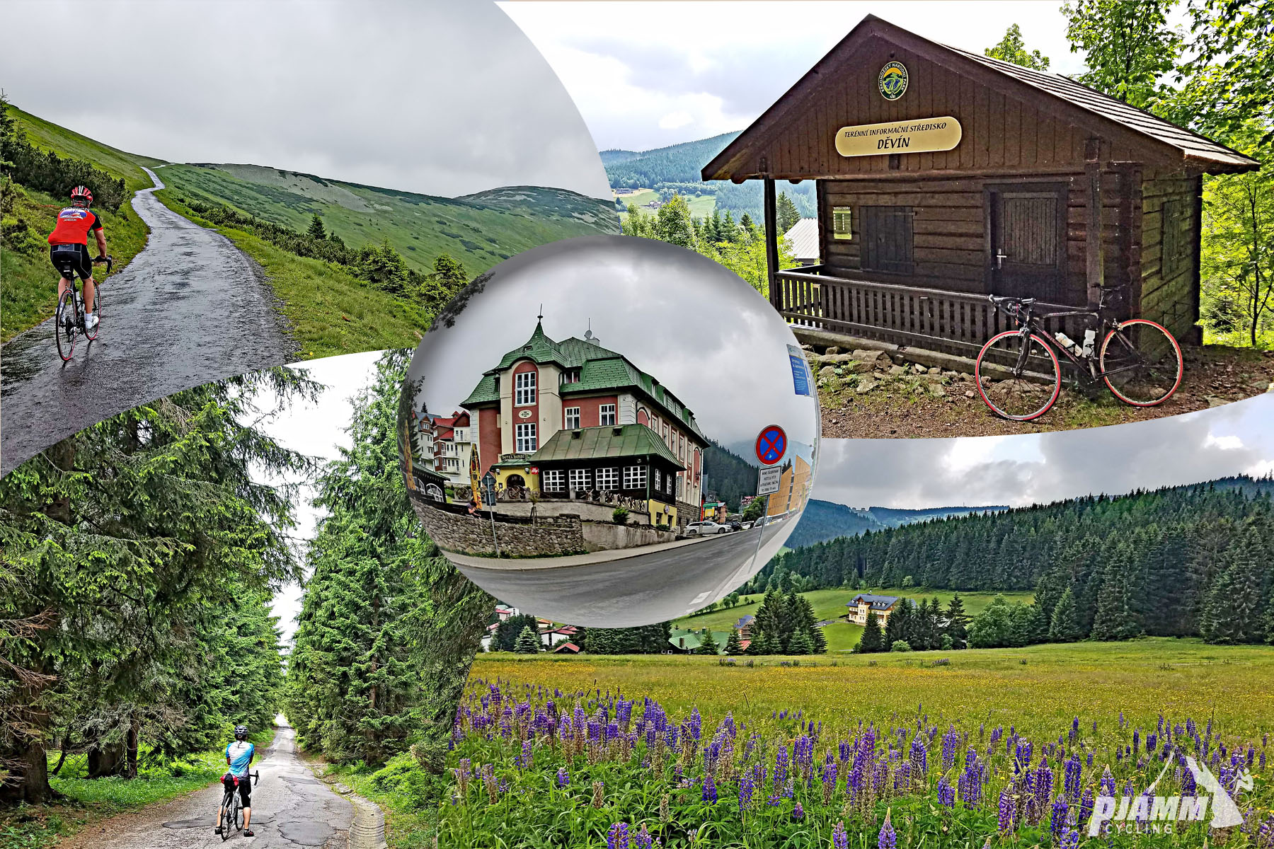
Modré sedlo (Blue Saddle) climbs 6.5 km (4.1 mi) from the center of Pec pod Sněžkou, in the Czech Krkonoše (Giant Mountains), gaining 718 m (2,355 ft) at an 11.0% average to a saddle at roughly 1,500 m (4,921 ft). There are no flat stretches to recover on, and the steepest kilometer averages 14.8%. It ranks first among the Czechia climbs in our database by difficulty and is widely described as the toughest road climb in the Czech Republic.
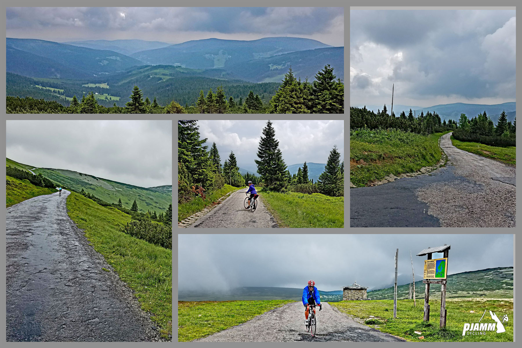
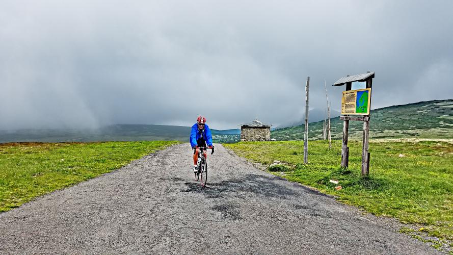
The road follows the Modrý důl (Blue Valley) up from Pec, past mountain chalets and the slopes of Studniční hora, then climbs steadily into the open high country. Most of the way is asphalt. The final stretch between Vyrovka bouda and the saddle is the steepest, with pitches of 15-20% reported, and it is often busy with hikers on foot.
The saddle sits about 3 km (1.9 mi) west of Sněžka, the highest peak in Czechia at 1,603 m (5,259 ft), and the views from the top run across the border toward the Polish lowlands. For a rider based in Pec this is the climb that defines the area - and it makes a very different day from the cobbled race road up Sněžka from Karpacz on the Polish side.
PLAN YOUR ROUTE
 We've partnered with Sherpa-Map.com to bring you the best route planning tool. With a PRO Membership you can use this climb as a reference when creating your route.
 The climb averages 11.0% over 6.5 km (4.1 mi) with almost no relief. The steepest 500 meters averages 17.1%, the steepest kilometer 14.8%, the steepest 2 km 13.3%, and the steepest 5 km 11.4%.
The middle of the climb has good asphalt and more manageable grades, and the hardest ground comes in the last stretch from Vyrovka bouda to the saddle, where pitches of 15-20% are reported. A compact crankset with a 34-tooth inner ring or smaller, plus a wide-range cassette, is what you want if you plan to keep turning the pedals the whole way.
Roadway: The road is mostly asphalt, with good pavement through the middle of the climb and a rougher, steeper final section above Vyrovka bouda. The lower part has several side turnoffs, so follow the main road up the valley rather than any unmarked lane. Snow can linger on the upper road into May, and in winter the upper valley is for skiers and groomers only. The upper road is inside Krkonoše National Park, where cycling is generally restricted to roads and designated routes - watch for signs and confirm current rules before you ride.
Traffic: Light. The main thing to watch for is foot traffic from hikers heading for the saddle and Sněžka, especially on summer weekends and on the steep final stretch.
Parking: Pec pod Sněžkou is a small mountain resort, so park at the large parking house (P1) near the entrance to the village, which charges about 150 Kč for a full day (check current rates), then ride the short distance to the start. If you are staying in Pec, ride from your hotel.
Provisions: Buy food and fill your bottles in Pec pod Sněžkou before you start. The Horská bouda Na Výsluní in the Modrý důl valley offers dining and lodging, and there are mountain huts on the high ground near the saddle, but services thin out fast above Pec, so carry what you need for 6.5 km (4.1 mi) of hard climbing and the descent.
Gear: Use your lowest gearing - a compact crankset with a 34-tooth inner ring or smaller is the sensible choice. The saddle sits near 1,500 m (4,921 ft), so pack a windproof layer for the descent even on a warm day in Pec.
Before heading out on any cycling adventure check out our Things to Bring on a Cycling Trip and use our interactive check list to ensure you don't forget anything.
Pec pod Sněžkou (769 m) is the Czech base for Sněžka and one of the country's main ski resorts, so there is plenty of lodging and food. Our Mount Sniezka page covers the Polish side of the mountain from Karpacz; this page sticks to the Czech side. From the village a cable car runs to the summit of Sněžka via Růžová hora - a good rest-day option for the baroque summit chapel and the views. The Modrý důl valley is also known for the "Map of the Republic," a snow field on Studniční hora whose outline resembles the borders of the First Czechoslovak Republic.
Late spring through early autumn is the usual riding window; check conditions at the start and the saddle before you set out with our Weather tool.
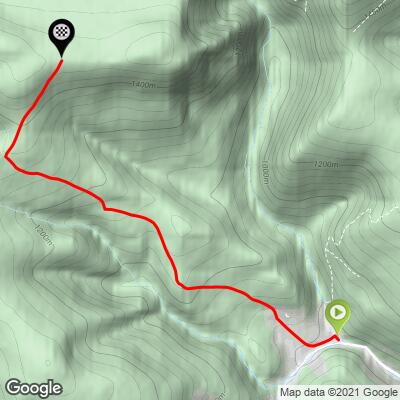
ROUTE MAP
MEMBER RATING
CURRENT WEATHER
PJAMM TRIPS ADVENTURE STARTER BUNDLES
Check out PJAMM Adventure's prepackaged (self-guided) cycling trips. They will help you plan, document and conquer your next adventure.
NEARBY CLIMBS (0) RADIAL PROXIMITY
FROM No Climbs Found
MEMBER REVIEWS & COMMENTS
Let us know what you thought of this climb. Signup for our FREE membership to write a review or post a comment.
Already have an account?
LOG IN HERE