
6.4
PDI
22.2 mi
DISTANCE
1,979 ft
GAINED
1.5 %
AVG. GRADE
FULL CLIMB STATS
Page Contributor(s): Steve Jones, Olympia, WA, USA
INTRO
This 22.2 mile bike climb is located in OR, USA. The average gradient is 1.5% and there is a total elevation gain of 1,979 ft, finishing at 6,247 ft.
Use the profile tool, route map, and weather forecast to conquer this cycling climb.
Use the profile tool, route map, and weather forecast to conquer this cycling climb.
PLAN YOUR ROUTE
See more details and tools regarding this climb's grade via our interactive Profile Tool.
Information Not Available
If you have any information regarding this climb, we'd like to hear from you. Click the CONTRIBUTE button to share your thoughts with us.
Information Not Available
If you have any information regarding this climb, we'd like to hear from you. Click the CONTRIBUTE button to share your thoughts with us.
Before heading out on any cycling adventure check out our Things to Bring on a Cycling Trip and use our interactive check list to ensure you don't forget anything.
Information Not Available
If you have any information regarding this climb, we'd like to hear from you. Click the CONTRIBUTE button to share your thoughts with us.
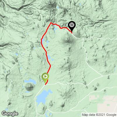
ROUTE MAP
MEMBER RATING
CURRENT WEATHER
PJAMM TRIPS ADVENTURE STARTER BUNDLES
Check out PJAMM Adventure's prepackaged (self-guided) cycling trips. They will help you plan, document and conquer your next adventure.
NEARBY CLIMBS (0) RADIAL PROXIMITY
FROM No Climbs Found
MEMBER REVIEWS & COMMENTS
Let us know what you thought of this climb. Signup for our FREE membership to write a review or post a comment.
Already have an account?
LOG IN HERE
joelmblatt
Live in Bend, so this is regular ride. It is a must, but...there is ample shoulder going up and down, but when you're descending knucklehead drivers may be passing slower cars and venture into lane, which means they may or may not see you in bike lane. I find this concerning, as it is recurring. One of these days...yikes. Otherwise, great climb and you can continue for miles and even loop around for good long day.